Loch Grànnda

Lake, Pool, Pond, Freshwater Marsh in Inverness-shire

Scotland

Loch Grànnda

View over Ob Leasaid Looking south east from beside a cairn on the hillside just east of Manish.
View over Ob Leasaid Credit: Richard Dorrell

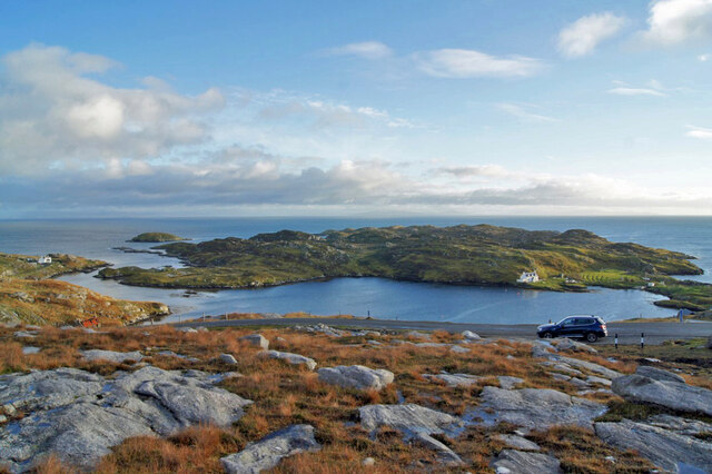
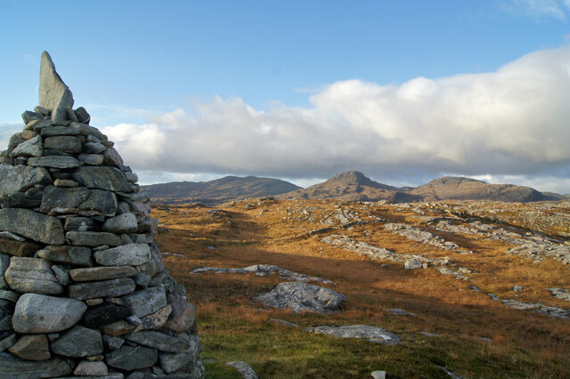
Loch Grànnda is a picturesque freshwater lake located in the Inverness-shire region of Scotland. It is nestled amidst the stunning Highland scenery, surrounded by rolling hills and lush greenery. The lake stretches over an area of approximately 100 acres and is known for its crystal-clear waters.

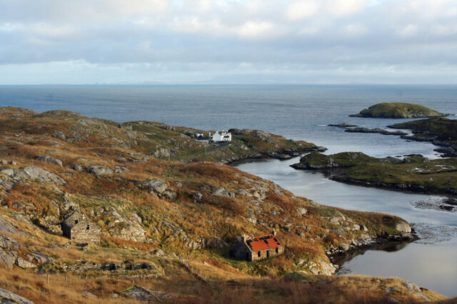
Surrounded by a diverse ecosystem, Loch Grànnda is home to a variety of flora and fauna. The lake supports a rich aquatic life, including various species of fish such as trout and salmon. Bird enthusiasts can also spot a range of avian species, including ducks, swans, and herons, which frequent the lake's shores.

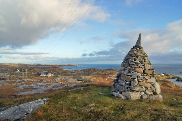
Loch Grànnda offers a tranquil setting, attracting visitors seeking peace and serenity. The calm waters of the lake are ideal for water activities such as kayaking, fishing, and boating. Its scenic surroundings also make it a popular spot for leisurely walks and picnics.

The lake's shores are adorned with vibrant vegetation, including reeds, sedges, and water lilies, creating a vibrant and colorful landscape. This diverse vegetation provides a habitat for numerous insects, amphibians, and small mammals, contributing to the lake's ecological significance.

Accessible by a short drive from the town of Inverness, Loch Grànnda offers breathtaking views and a peaceful retreat from the bustling city life. Whether it's enjoying water sports, observing wildlife, or simply immersing oneself in nature, Loch Grànnda provides a delightful experience for nature lovers and outdoor enthusiasts alike.

If you have any feedback on the listing, please let us know in the comments section below.
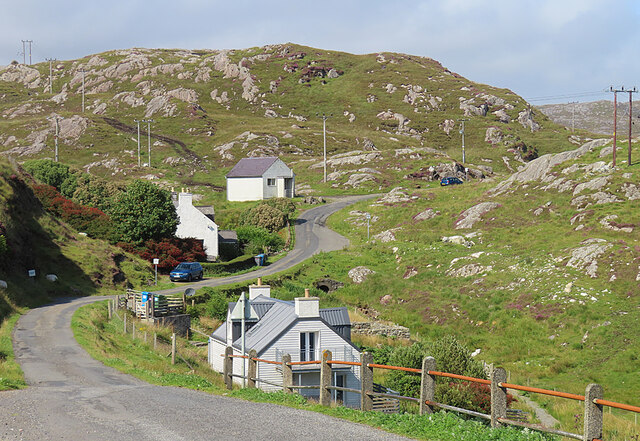
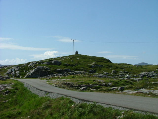
Loch Grànnda Images

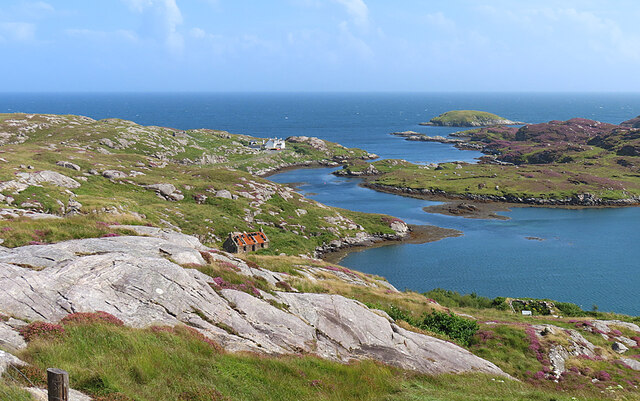
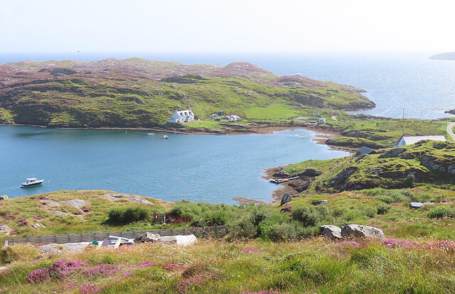
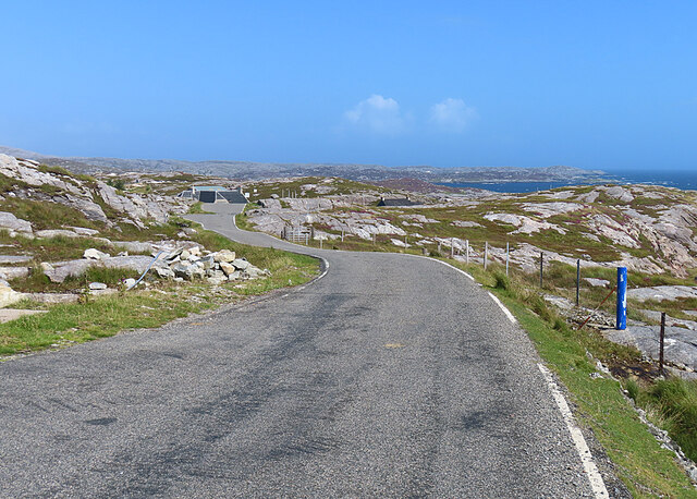
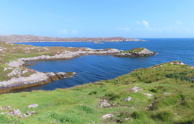
Images are sourced within 2km of 57.809137/-6.8471385 or Grid Reference NG1290. Thanks to Geograph Open Source API. All images are credited.

View over Ob Leasaid Looking south east from beside a cairn on the hillside just east of Manish.
View over Ob Leasaid
Looking south east from beside a cairn on the hillside just east of Manish.
Cairn and view, Manish Looking east past a neatly built cairn on the hillside just east of Manish.
Cairn and view, Manish
Looking east past a neatly built cairn on the hillside just east of Manish.
North past the cairn A view to the north past a cairn on the hillside just east of Manish.
North past the cairn
A view to the north past a cairn on the hillside just east of Manish.
Ruins and a house, Ardslave A view to the south east over the eastern coast of Harris.
Ruins and a house, Ardslave
A view to the south east over the eastern coast of Harris.
Ob Leasaid Ob means an enclosed bay and this one is an excellent example, with a narrow channel from the sea widening to form a wide sea loch.
Ob Leasaid
Ob means an enclosed bay and this one is an excellent example, with a narrow channel from the sea widening to form a wide sea loch.
Manais One of the scattered settlements in eastern Harris, on the isthmus that separates Ob Leasaid from the open sea.
Manais
One of the scattered settlements in eastern Harris, on the isthmus that separates Ob Leasaid from the open sea.
The Winding Road The Bays road of eastern Harris twists and turns its way through the Lewisian gneiss landscape.
The Winding Road
The Bays road of eastern Harris twists and turns its way through the Lewisian gneiss landscape.
Loch Gheocrab One of the larger sea lochs on the east coast of Harris.
Loch Gheocrab
One of the larger sea lochs on the east coast of Harris.
Beachrabhaic Only a handful of houses make up the hamlet of Beacravik.
Beachrabhaic
Only a handful of houses make up the hamlet of Beacravik.
Inlet of Loch Gheocrab
Turning for Aird Shleibhe
House around Ob Leasaid near Manais Old and new houses around Ob Leasaid - a typical inlet in the Bays area of South Harris
House around Ob Leasaid near Manais
Old and new houses around Ob Leasaid - a typical inlet in the Bays area of South Harris
Old school at Manais
Shed at Manais The wood carving looks to be a copy of one of the Lewis Chessmen. The sign to the right of the carving has been taken? borrowed? nicked? from the Roghadal Hotel.
Shed at Manais
The wood carving looks to be a copy of one of the Lewis Chessmen. The sign to the right of the carving has been taken? borrowed? nicked? from the Roghadal Hotel.
Part of the Golden Road at Manais
Old school and Telephone box at Manais
Ob Leasaid At Manais
Ob Leasaid
At Manais
Cairn above Manais
Cairn above Manais
Show me another place!

Loch Grànnda is located at Grid Ref: NG1290 (Lat: 57.809137, Lng: -6.8471385)

Unitary Authority: Na h-Eileanan an Iar

Police Authority: Highlands and Islands

What 3 Words

///eggs.quest.exits. Near Tarbert, Na h-Eileanan Siar

Related Wikis

Stockinish Island

Stockinish Island (Scottish Gaelic: Eilean Stocainis) is an uninhabited island off Harris, in the Outer Hebrides. == Geography and geology == Stockinish...

Borsham

Borsham (Scottish Gaelic: Boirseam) is a village in the 'Bays' area of Harris in the Outer Hebrides, Scotland. Borsham is within the parish of Harris....

Lingarabay

Lingarabay (also Lingerabay or Lingerbay; Scottish Gaelic: Lingreabhagh) is a small coastal settlement on Harris, in the Outer Hebrides of Scotland. It...

Harris Superquarry

The Harris Super Quarry was a super quarry at Lingerbay, Harris, Scotland proposed by Redland Aggregates in 1991. The plan was to surface mine aggregate...

Nearby Amenities

Located within 500m of 57.809137,-6.8471385
Turning Circle
Lat/Long: 57.8119969/-6.8515938
Loch Gheocrab
Natural: bay
Source: OS_OpenData_StreetView
Lat/Long: 57.8104508/-6.8539627
Material: wood
Power: pole
Lat/Long: 57.8127525/-6.8516999
Material: wood
Power: pole
Lat/Long: 57.8123896/-6.8513607
Material: wood
Power: pole
Lat/Long: 57.8117742/-6.8507819
Aird Mhor
Place: locality
Lat/Long: 57.8056307/-6.8477035
The data included in this document is from www.openstreetmap.org. The data is made available under ODbL.

Have you been to Loch Grànnda?

Leave your review of Loch Grànnda below (or comments, questions and feedback).