Am Maoladh

Coastal Feature, Headland, Point in Inverness-shire

Scotland

Am Maoladh

Loch Gheocrab One of the larger sea lochs on the east coast of Harris.
Loch Gheocrab Credit: Anne Burgess

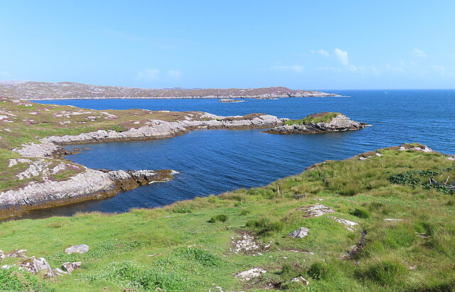
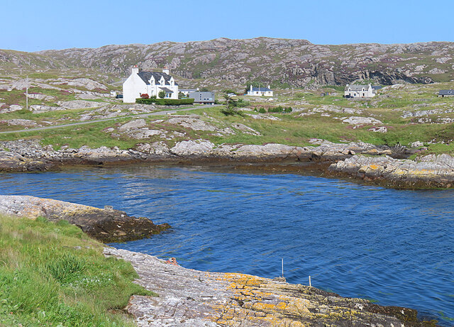
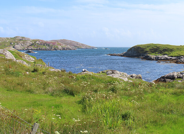
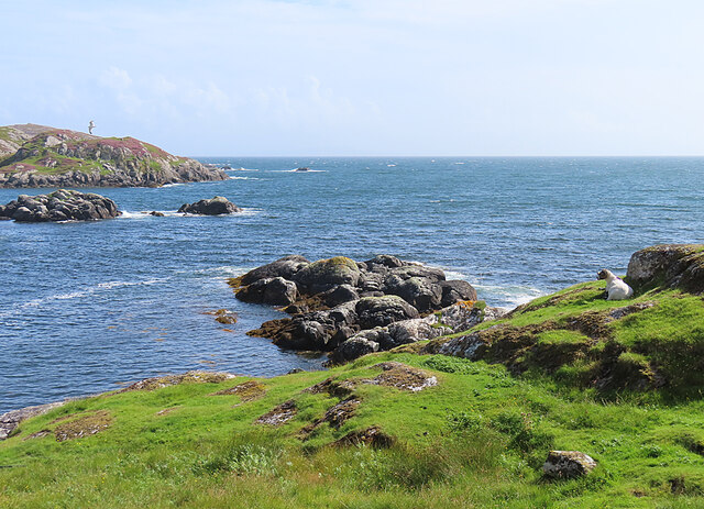
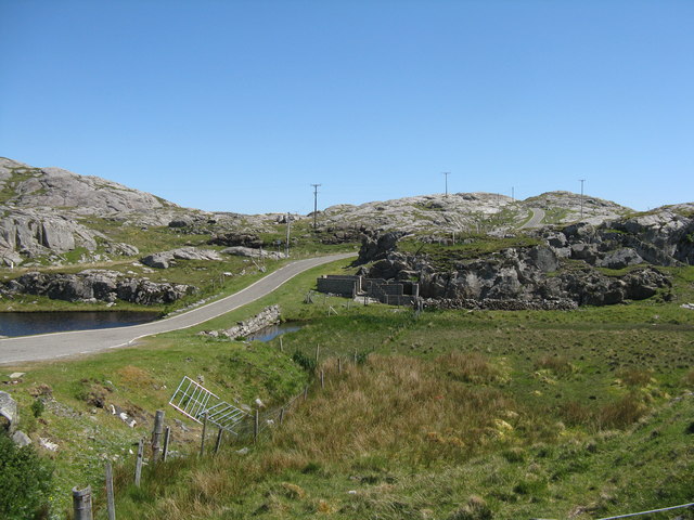
Am Maoladh is a prominent coastal feature located in Inverness-shire, Scotland. It is a headland that juts out into the North Atlantic Ocean, forming a distinct and picturesque point along the coastline. With its rugged cliffs and stunning views, Am Maoladh is a popular destination for nature enthusiasts and tourists alike.

The headland is characterized by its towering cliffs, which reach heights of up to 100 meters in some places. These cliffs are made up of layers of sedimentary rock, with distinct bands of different colors and textures, providing a visual display of the area's geological history. The rocky outcrops and crevices along the cliffs provide habitats for a variety of bird species, making it a haven for birdwatchers.

Am Maoladh offers breathtaking panoramic views of the surrounding coastal landscape. On clear days, visitors can enjoy vistas of the vast ocean stretching out to the horizon, with the Isle of Skye visible in the distance. The headland is also blessed with an abundance of wildlife, including seals, dolphins, and occasionally even whales, which can be spotted from the shoreline.

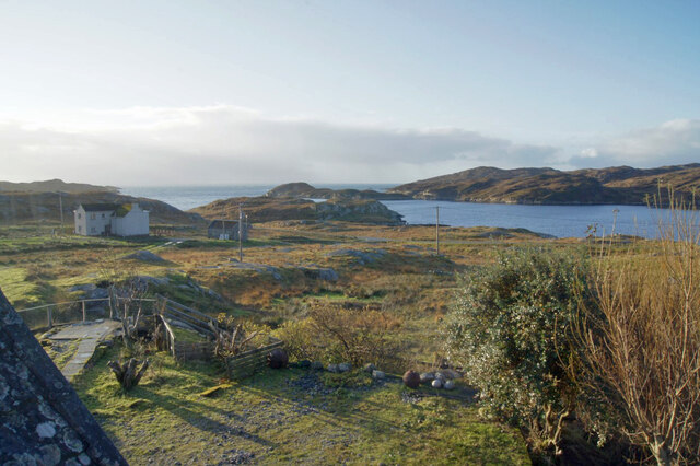
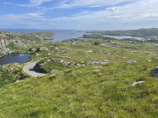
Access to Am Maoladh is relatively easy, with a well-maintained footpath that leads from the nearby village. The headland is a popular spot for hiking and walking, with several trails that wind their way along the cliffs, providing opportunities for both leisurely strolls and more challenging treks.

Overall, Am Maoladh in Inverness-shire is a captivating coastal feature that offers stunning views, diverse wildlife, and a chance to immerse oneself in the natural beauty of the Scottish coastline.

If you have any feedback on the listing, please let us know in the comments section below.
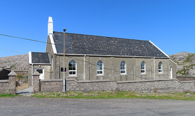
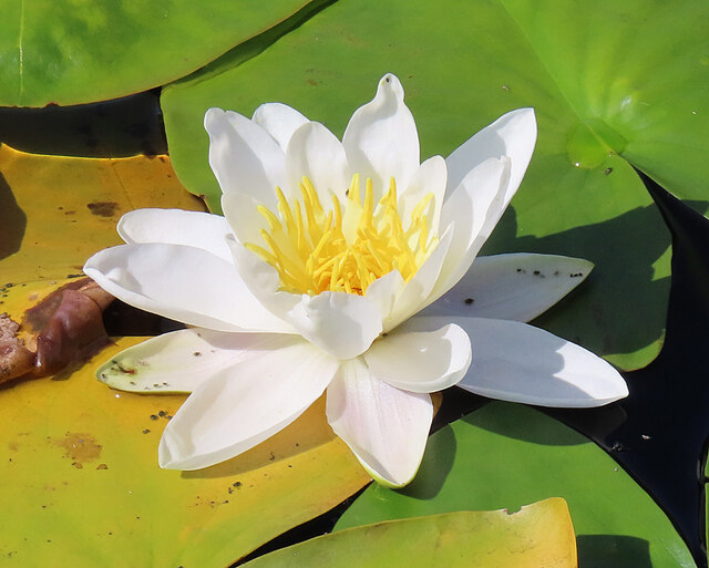
Am Maoladh Images

Images are sourced within 2km of 57.815694/-6.8349393 or Grid Reference NG1290. Thanks to Geograph Open Source API. All images are credited.
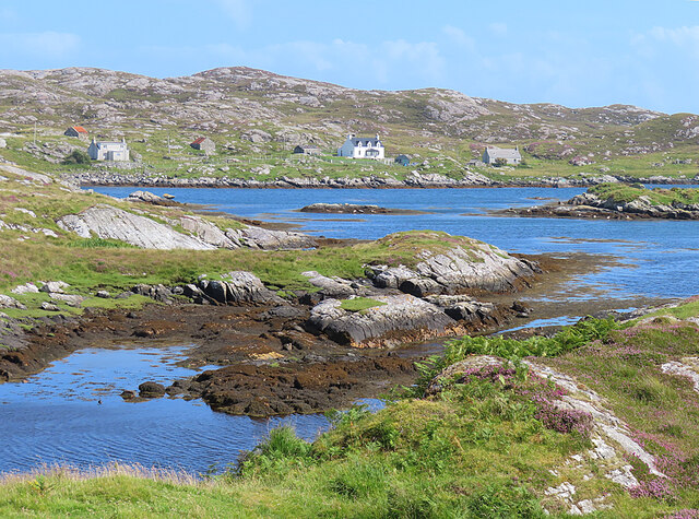
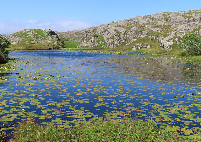
Loch Gheocrab One of the larger sea lochs on the east coast of Harris.
Loch Gheocrab
One of the larger sea lochs on the east coast of Harris.
View south over Leac a' Li Looking from a window of a house in Leac a' Li. 
A few sheep graze the poor vegetation between the exposed bedrock. 
The water is Loch Stocanais.
View south over Leac a' Li
Looking from a window of a house in Leac a' Li. A few sheep graze the poor vegetation between the exposed bedrock. The water is Loch Stocanais.
Landscape of Harris
Landscape of Harris
Loch Bheacrabhaig Loch Beacravik is an arm of the sea loch Loch Geocrab.
Loch Bheacrabhaig
Loch Beacravik is an arm of the sea loch Loch Geocrab.
Geocrab A dispersed settlement around the head of Loch Geocrab.
Geocrab
A dispersed settlement around the head of Loch Geocrab.
Bus Shelter The bus shelter is above the turning to Liceasto. I was pleasantly surprised to find a timetable suggesting that there are six buses a day from Roghadal via here to Tarbert.
Bus Shelter
The bus shelter is above the turning to Liceasto. I was pleasantly surprised to find a timetable suggesting that there are six buses a day from Roghadal via here to Tarbert.
Leac a' Li across Ob Liath Leac a' Li or Lackalee is on the shore of Loch Stockinish, and the head of the loch is Ob Liath, the 'grey bay'.
Leac a' Li across Ob Liath
Leac a' Li or Lackalee is on the shore of Loch Stockinish, and the head of the loch is Ob Liath, the 'grey bay'.
Unnamed Inlet The map suggests that this inlet dries at low tide. It opens into Ob Liath, and then into Loch Stocanais.
Unnamed Inlet
The map suggests that this inlet dries at low tide. It opens into Ob Liath, and then into Loch Stocanais.
Kirk at Stocanais The sign on the wall says that this is the Stockinish meeting house of the North Harris Free Presbyterian Church.
Kirk at Stocanais
The sign on the wall says that this is the Stockinish meeting house of the North Harris Free Presbyterian Church.
White Water-lily (Nymphaea alba) I always associate water-lilies with the lochans of eastern Harris, and was glad to find some still in flower in August, as I have only ever been to na h-Eileanan an Iar in spring and early summer before.
White Water-lily (Nymphaea alba)
I always associate water-lilies with the lochans of eastern Harris, and was glad to find some still in flower in August, as I have only ever been to na h-Eileanan an Iar in spring and early summer before.
Loch a' Chaolais This lochan is well covered with the floating leaves of the White Water-lily (Nymphaea alba).
Loch a' Chaolais
This lochan is well covered with the floating leaves of the White Water-lily (Nymphaea alba).
Loch Chliuthair This inlet opens in to Loch Cluer, another of the eastern Harris sea-lochs.
Loch Chliuthair
This inlet opens in to Loch Cluer, another of the eastern Harris sea-lochs.
Loch Cluer Loch Chliuthair in Gaelic takes its name from the village of Cliuthar, anglicised as Cluer.
Loch Cluer
Loch Chliuthair in Gaelic takes its name from the village of Cliuthar, anglicised as Cluer.
The road to Liceasto/Lickisto One of several turnings off into the rocky landscape of the Golden Road area of Harris.
The road to Liceasto/Lickisto
One of several turnings off into the rocky landscape of the Golden Road area of Harris.
Lickisto and Ãird Mhìghe With a tent of Lickisto Blackhouse Camping in the dip in the foreground.
Lickisto and Ãird Mhìghe
With a tent of Lickisto Blackhouse Camping in the dip in the foreground.
Bus stop at Liceasto/Lickisto With facilities.
Bus stop at Liceasto/Lickisto
With facilities.
Road at Caolas Stocinis/Kyles Stockinish Looking over a short causeway across the end of Loch a' Chaolais.
Road at Caolas Stocinis/Kyles Stockinish
Looking over a short causeway across the end of Loch a' Chaolais.
Loch a' Chaolais A small loch in the rocky landscape, with pond weed [Potomageton sp.].
Loch a' Chaolais
A small loch in the rocky landscape, with pond weed [Potomageton sp.].
Show me another place!

Am Maoladh is located at Grid Ref: NG1290 (Lat: 57.815694, Lng: -6.8349393)

Unitary Authority: Na h-Eileanan an Iar

Police Authority: Highlands and Islands

What 3 Words

///feelers.partly.internet. Near Tarbert, Na h-Eileanan Siar

Related Wikis

Stockinish Island

Stockinish Island (Scottish Gaelic: Eilean Stocainis) is an uninhabited island off Harris, in the Outer Hebrides. == Geography and geology == Stockinish...

Borsham

Borsham (Scottish Gaelic: Boirseam) is a village in the 'Bays' area of Harris in the Outer Hebrides, Scotland. Borsham is within the parish of Harris....

East Loch Tarbert

East Loch Tarbert (Scottish Gaelic: Loch an Tairbeairt) is a sea loch that lies to the east of Harris in the Outer Hebrides of Scotland. The loch contains...

Lingarabay

Lingarabay (also Lingerabay or Lingerbay; Scottish Gaelic: Lingreabhagh) is a small coastal settlement on Harris, in the Outer Hebrides of Scotland. It...

Harris Superquarry

The Harris Super Quarry was a super quarry at Lingerbay, Harris, Scotland proposed by Redland Aggregates in 1991. The plan was to surface mine aggregate...

Sgeotasaigh

Scotasay (Scottish Gaelic: Sgeotasaigh) is small island in the Outer Hebrides of Scotland. It lies 1 kilometre (0.6 miles) off the east coast of Harris...

Harris distillery

Harris distillery is a Scotch whisky and Gin distillery in Tarbert on the Isle of Harris, Scotland. The distillery was the first legal distillery ever...

Tarbert, Harris

Tarbert (Scottish Gaelic: An Tairbeart [ən̪ˠ ˈt̪ɛrʲɛbərˠʃt̪]) is the main community on Harris in the Western Isles of Scotland. The name means "isthmus...

Nearby Amenities

Located within 500m of 57.815694,-6.8349393
Created By: dmgroom_coastlines
Lat/Long: 57.81266/-6.82879
Passing Place
Lat/Long: 57.8188131/-6.8308979
Turning Circle
Lat/Long: 57.8175972/-6.8292488
Caolas Stocainis
Name En: Kyles Stockinish
Name Gd: Caolas Stocainis
Place: hamlet
Lat/Long: 57.8173826/-6.8282739
Material: wood
Power: pole
Lat/Long: 57.8165688/-6.8268945
Material: wood
Power: pole
Lat/Long: 57.816875/-6.827864
Material: wood
Power: pole
Lat/Long: 57.8170236/-6.8282702
Material: wood
Power: pole
Lat/Long: 57.8171075/-6.8286963
Power: pole
Lat/Long: 57.8172638/-6.8292359
Power: pole
Lat/Long: 57.8172545/-6.828796
Power: pole
Lat/Long: 57.8174145/-6.8289945
Power: pole
Lat/Long: 57.8175945/-6.8291581
Barrier: cattle_grid
Lat/Long: 57.8166418/-6.8272611
Passing Place
Lat/Long: 57.8194246/-6.831732
Barrier: cattle_grid
Lat/Long: 57.8169684/-6.8276845
Passing Place
Lat/Long: 57.8170942/-6.828411
Passing Place
Lat/Long: 57.817461/-6.8298148
Power: pole
Lat/Long: 57.8189076/-6.829529
Power: pole
Lat/Long: 57.8183762/-6.8288966
Power: pole
Lat/Long: 57.8177687/-6.8281657
Am Maoladh
Place: locality
Lat/Long: 57.81554/-6.8347931
Struparsaig
Place: locality
Lat/Long: 57.8162729/-6.8418983
The data included in this document is from www.openstreetmap.org. The data is made available under ODbL.

Have you been to Am Maoladh?

Leave your review of Am Maoladh below (or comments, questions and feedback).