Loch a' Chait
Lake, Pool, Pond, Freshwater Marsh in Inverness-shire
Scotland
Loch a' Chait

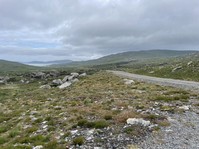
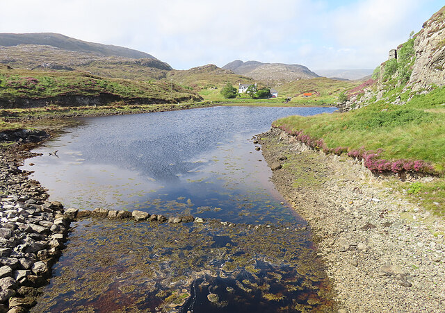
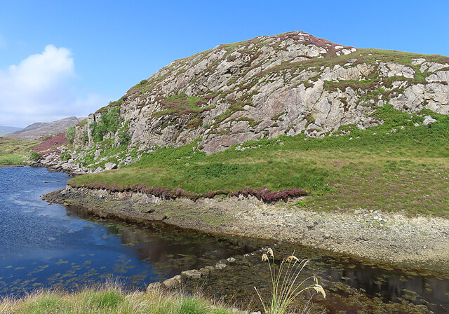
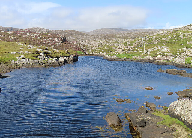
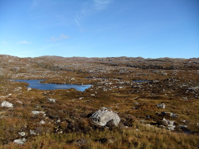
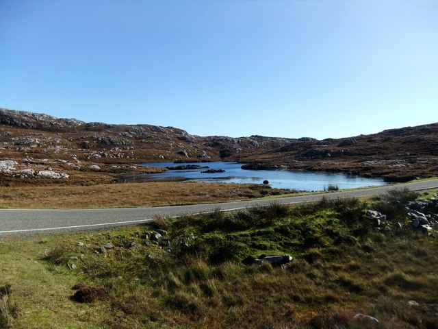
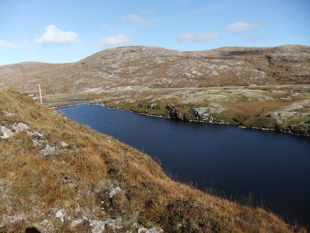
Loch a' Chait is a picturesque freshwater loch located in Inverness-shire, Scotland. Nestled amidst the stunning Scottish Highlands, the loch covers an area of approximately 20 acres, making it a small yet charming water body.
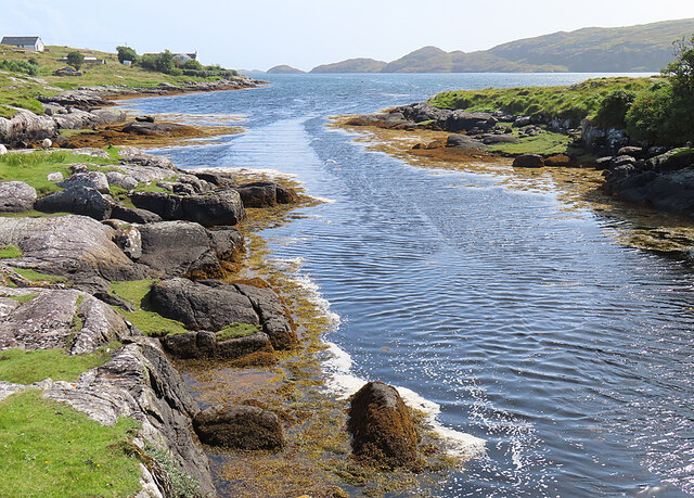
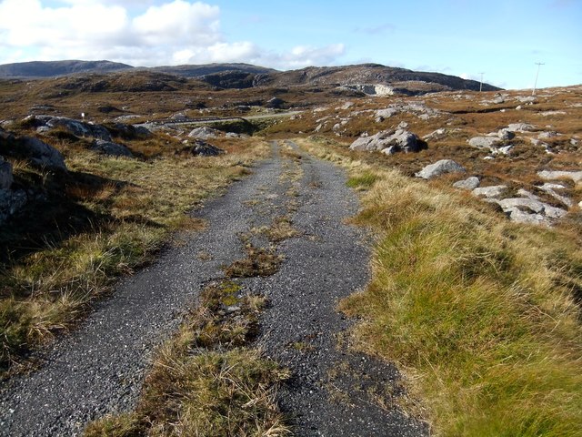
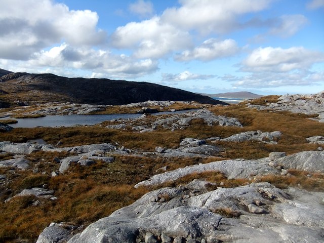
Surrounded by lush greenery and rolling hills, Loch a' Chait offers a tranquil setting for nature enthusiasts and visitors seeking solace in the lap of nature. The loch is situated in a remote and secluded location, making it an ideal spot for those seeking peace and quiet away from the bustling city life.
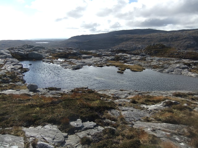
The water in Loch a' Chait is crystal clear and sustains a diverse ecosystem. It is home to various species of freshwater fish, including brown trout, which attracts fishing enthusiasts from far and wide. The loch's calm waters also make it a popular destination for kayaking and canoeing, allowing visitors to explore the beautiful surroundings from a different perspective.
The surrounding area of Loch a' Chait features an abundance of wildlife, including birds, deer, and otters. This makes it a haven for birdwatchers and wildlife photographers, who can capture the natural beauty of the region. The loch is also fringed with reeds and rushes, creating a freshwater marsh ecosystem that is rich in plant and animal life.
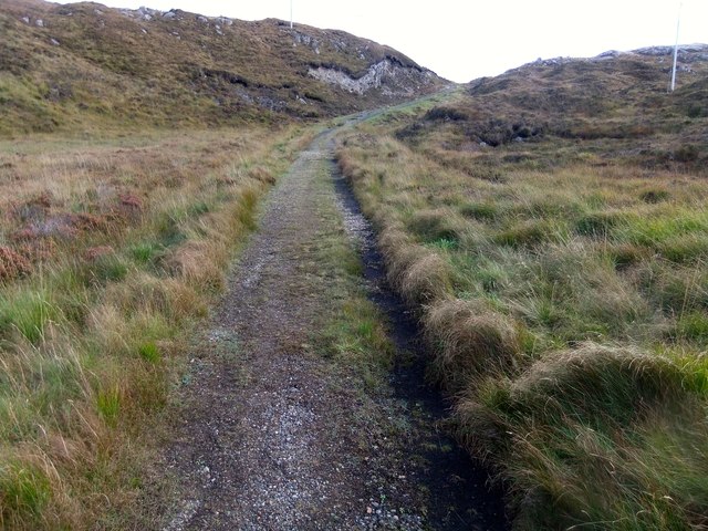
Visitors to Loch a' Chait can enjoy scenic walks along the loch's shoreline, taking in breathtaking views of the surrounding mountains and forests. The area is also dotted with picnic spots, allowing visitors to relax and soak in the serenity of this enchanting location.
In summary, Loch a' Chait is a small but captivating freshwater loch in Inverness-shire, Scotland. Its tranquil setting, diverse wildlife, and stunning natural surroundings make it a must-visit destination for nature lovers and those seeking a peaceful retreat in the heart of the Scottish Highlands.
If you have any feedback on the listing, please let us know in the comments section below.
Loch a' Chait Images
Images are sourced within 2km of 57.848538/-6.8525783 or Grid Reference NG1294. Thanks to Geograph Open Source API. All images are credited.


Loch a' Chait is located at Grid Ref: NG1294 (Lat: 57.848538, Lng: -6.8525783)
Unitary Authority: Na h-Eileanan an Iar
Police Authority: Highlands and Islands
What 3 Words
///cross.landlords.awakening. Near Tarbert, Na h-Eileanan Siar
Nearby Locations
Related Wikis

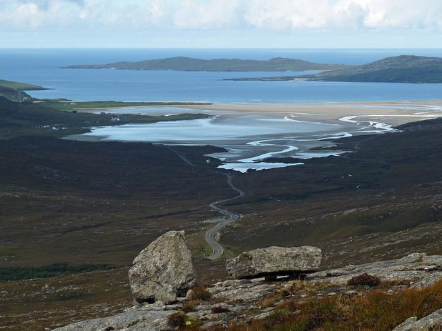
Stockinish Island
Stockinish Island (Scottish Gaelic: Eilean Stocainis) is an uninhabited island off Harris, in the Outer Hebrides. == Geography and geology == Stockinish...

Harris distillery
Harris distillery is a Scotch whisky and Gin distillery in Tarbert on the Isle of Harris, Scotland. The distillery was the first legal distillery ever...

Tarbert, Harris
Tarbert (Scottish Gaelic: An Tairbeart [ən̪ˠ ˈt̪ɛrʲɛbərˠʃt̪]) is the main community on Harris in the Western Isles of Scotland. The name means "isthmus...

East Loch Tarbert
East Loch Tarbert (Scottish Gaelic: Loch an Tairbeairt) is a sea loch that lies to the east of Harris in the Outer Hebrides of Scotland. The loch contains...
Nearby Amenities
Located within 500m of 57.848538,-6.8525783Have you been to Loch a' Chait?
Leave your review of Loch a' Chait below (or comments, questions and feedback).