Loch na Cailce
Lake, Pool, Pond, Freshwater Marsh in Inverness-shire
Scotland
Loch na Cailce

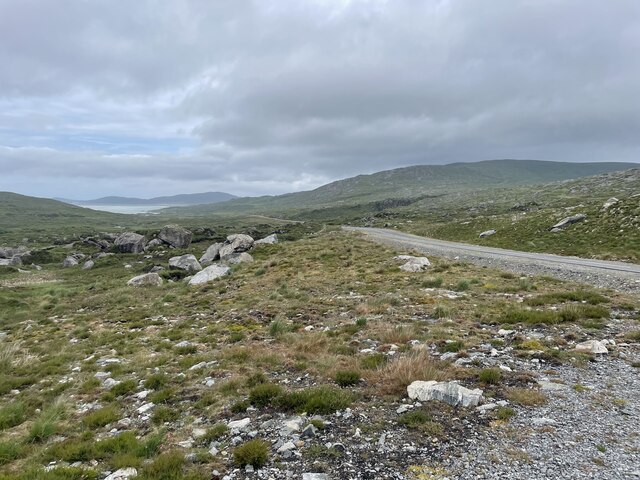
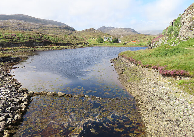
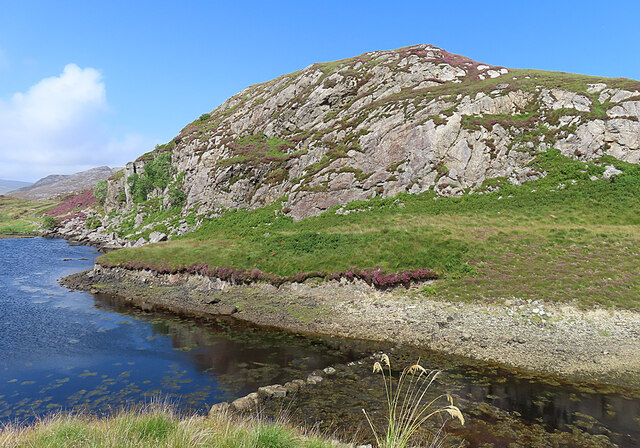
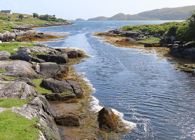
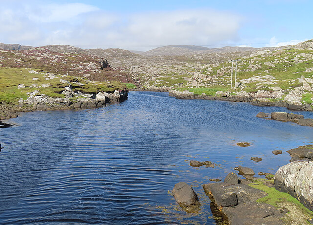
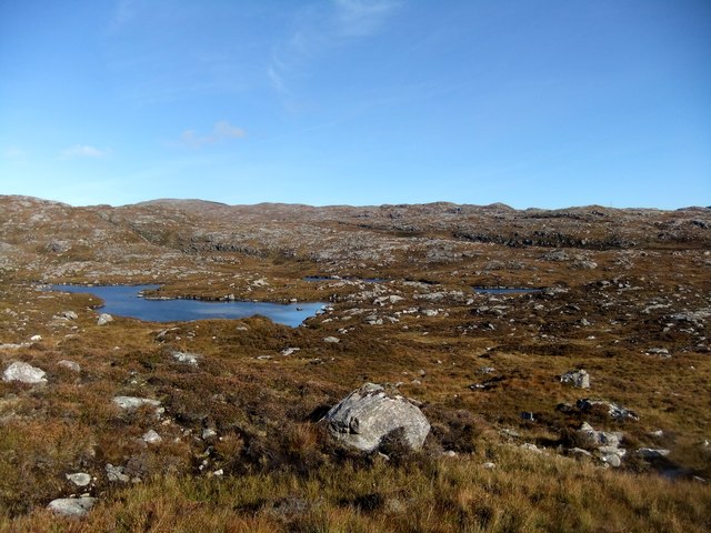
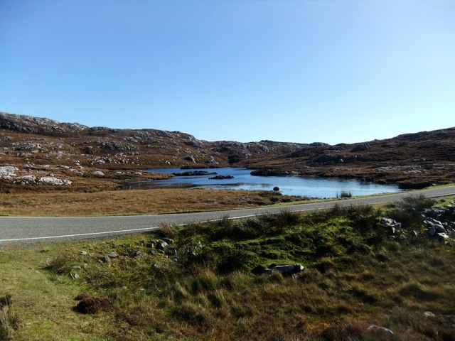
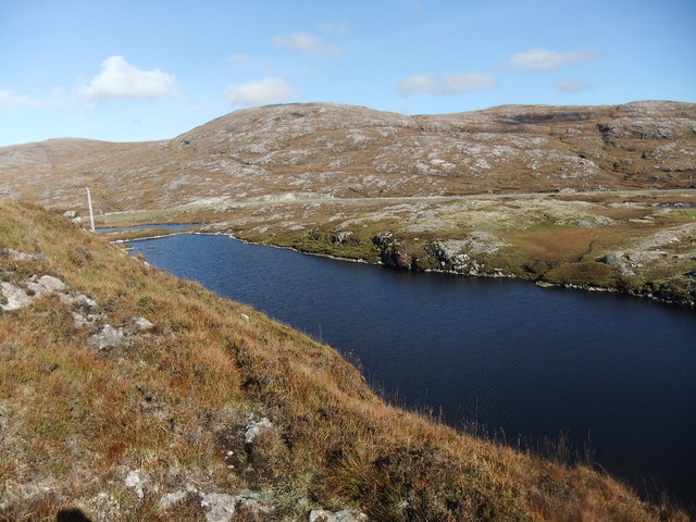
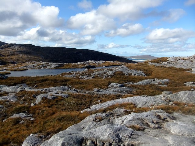
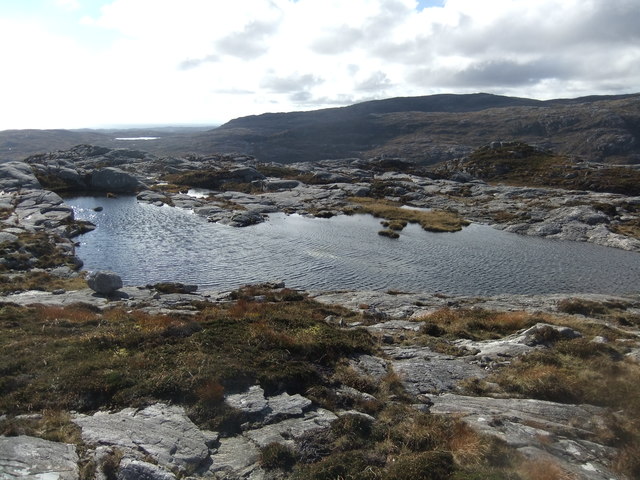
Loch na Cailce is a picturesque freshwater loch located in the county of Inverness-shire, Scotland. Spread over an area of approximately 50 acres, it is nestled amidst the scenic beauty of the Scottish Highlands. The loch is situated in a remote and tranquil location, surrounded by rolling hills and dense forests, providing a serene and untouched environment.
The water of Loch na Cailce is crystal clear and is fed by several small streams and springs that flow from the surrounding hills. It is a relatively shallow loch, with an average depth of around 10 feet, and its maximum depth reaching up to 20 feet. The banks of the loch are covered with lush vegetation, including reeds, grasses, and various aquatic plants.
The diverse ecosystem of Loch na Cailce supports a wide range of wildlife. The loch is home to various species of fish, including brown trout and pike, attracting anglers from near and far. It also serves as a habitat for numerous waterfowl species, such as ducks, swans, and herons, making it a popular spot for birdwatching enthusiasts.
Surrounding the loch is a freshwater marsh, characterized by its waterlogged and nutrient-rich soil. This marshland is home to a variety of unique plant species, including sedges, rushes, and bog mosses. The marsh provides an essential habitat for many amphibians, insects, and small mammals, contributing to the overall biodiversity of the area.
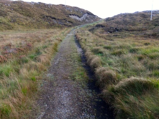
Loch na Cailce offers a peaceful and idyllic setting for outdoor activities like fishing, boating, and walking. Its scenic beauty and rich ecosystem make it a popular destination for nature lovers and those seeking a retreat from the hustle and bustle of urban life.
If you have any feedback on the listing, please let us know in the comments section below.
Loch na Cailce Images
Images are sourced within 2km of 57.848762/-6.8540089 or Grid Reference NG1294. Thanks to Geograph Open Source API. All images are credited.


Loch na Cailce is located at Grid Ref: NG1294 (Lat: 57.848762, Lng: -6.8540089)
Unitary Authority: Na h-Eileanan an Iar
Police Authority: Highlands and Islands
What 3 Words
///screen.forwarded.resurgent. Near Tarbert, Na h-Eileanan Siar
Nearby Locations
Related Wikis

Stockinish Island
Stockinish Island (Scottish Gaelic: Eilean Stocainis) is an uninhabited island off Harris, in the Outer Hebrides. == Geography and geology == Stockinish...

Harris distillery
Harris distillery is a Scotch whisky and Gin distillery in Tarbert on the Isle of Harris, Scotland. The distillery was the first legal distillery ever...

Tarbert, Harris
Tarbert (Scottish Gaelic: An Tairbeart [ən̪ˠ ˈt̪ɛrʲɛbərˠʃt̪]) is the main community on Harris in the Western Isles of Scotland. The name means "isthmus...

East Loch Tarbert
East Loch Tarbert (Scottish Gaelic: Loch an Tairbeairt) is a sea loch that lies to the east of Harris in the Outer Hebrides of Scotland. The loch contains...
Nearby Amenities
Located within 500m of 57.848762,-6.8540089Have you been to Loch na Cailce?
Leave your review of Loch na Cailce below (or comments, questions and feedback).