Loch na Muilne
Lake, Pool, Pond, Freshwater Marsh in Ross-shire
Scotland
Loch na Muilne

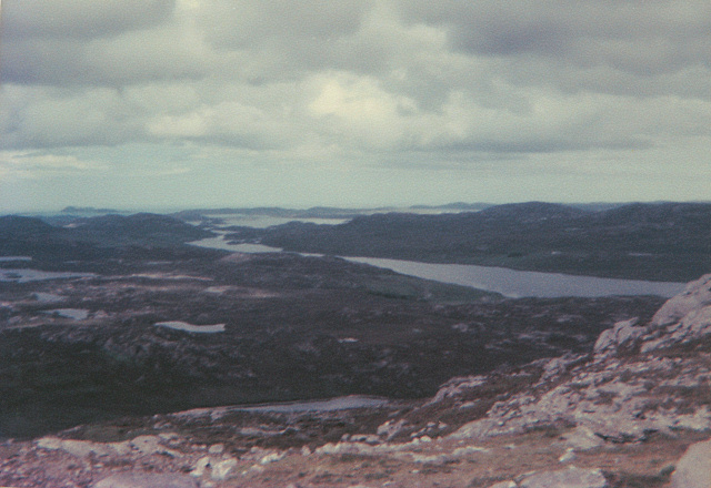
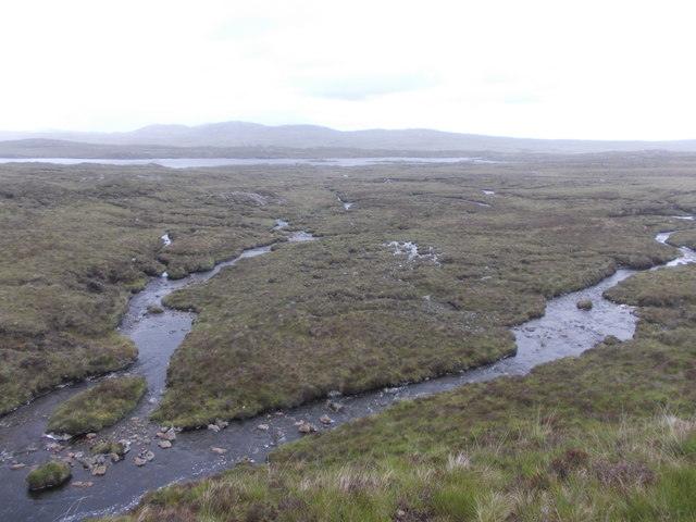
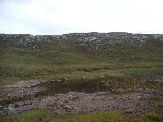
Loch na Muilne is a picturesque freshwater loch located in Ross-shire, Scotland. Nestled amidst the stunning Scottish Highlands, it covers an area of approximately 50 acres and is surrounded by lush greenery, rolling hills, and breathtaking landscapes. The loch is situated in a remote and tranquil location, providing visitors with a sense of peace and serenity.
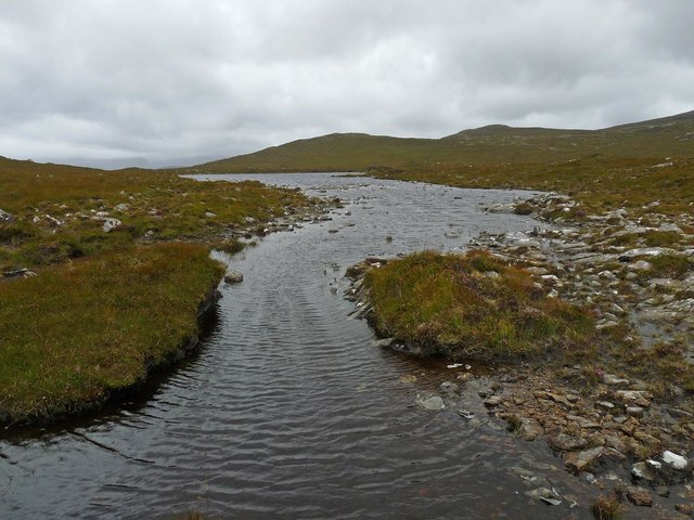
The water in Loch na Muilne is crystal clear and teeming with life. It is home to a diverse range of freshwater flora and fauna, including various species of fish, aquatic plants, and waterfowl. The loch's ecosystem is well-preserved and serves as a valuable habitat for both resident and migratory bird species, making it a popular spot for birdwatchers.
Surrounding the loch, there is a freshwater marsh that adds to the overall beauty and ecological significance of the area. The marshland is rich in vegetation, providing a habitat for numerous plant species, insects, and small mammals. It also acts as a natural filter, improving water quality and maintaining a healthy balance within the ecosystem.
Visitors to Loch na Muilne can enjoy a range of recreational activities. Fishing enthusiasts can cast their lines and try their luck at catching brown trout, which is abundant in the loch. The serene setting also offers opportunities for peaceful walks, nature photography, and simply soaking in the tranquility of the surrounding scenery.
Overall, Loch na Muilne is a hidden gem in Ross-shire, offering a peaceful retreat for nature lovers and a haven for wildlife. Its pristine waters, diverse flora and fauna, and stunning surroundings make it a must-visit destination for those seeking a true Scottish Highlands experience.
If you have any feedback on the listing, please let us know in the comments section below.
Loch na Muilne Images
Images are sourced within 2km of 58.119282/-6.889208 or Grid Reference NB1224. Thanks to Geograph Open Source API. All images are credited.


![Cairn Near Summit Of Codiunn Coduinn, Beinn a' Tuath, Beinn Mheadhanach and Sgeun with Jim Fothergill on a damp grey misty morning.
Name: Coduinn
Hill number: 4940
Height: 241m / 791ft
Parent (Ma/M): 1570 Beinn Mheadhanach [Beinn Mheadhonach]
Section: 24A: Lewis and Nearby Islands
County/UA: Na h-Eileanan Siar [Western Isles] (UA)
Island: Lewis and Harris
Class: HuMP, Tump (200-299m)
Grid ref: NB120232 (est)
Drop: 103m
Col: 138m NB116233](https://s3.geograph.org.uk/geophotos/04/18/40/4184007_c71070f9.jpg)


Loch na Muilne is located at Grid Ref: NB1224 (Lat: 58.119282, Lng: -6.889208)
Unitary Authority: Na h-Eileanan an Iar
Police Authority: Highlands and Islands
What 3 Words
///louder.cakewalk.casual. Near Carloway, Na h-Eileanan Siar
Related Wikis

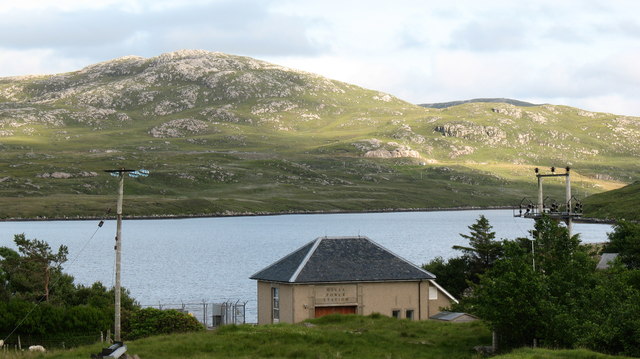
Gisla Hydro-Electric Scheme
Gisla Hydro-Electric Scheme was a small scheme promoted by the North of Scotland Hydro-Electric Board on the Isle of Lewis, Outer Hebrides, Scotland. It...

Fuaigh Beag
Fuaigh Beag or Vuia Be(a)g is an island in the Outer Hebrides. It is off the west coast of Lewis near Great Bernera in Loch Roag. Its name means "little...
Flodaigh, Lewis
Flodaigh is a small island in Loch Roag on the west coast of Lewis in the Outer Hebrides of Scotland. It is about 33 hectares (82 acres) in extent and...
Loch Ròg
Loch Ròg or Loch Roag is a large sea loch on the west coast of Lewis, Outer Hebrides. It is broadly divided into East Loch Roag and West Loch Roag with...
Nearby Amenities
Located within 500m of 58.119282,-6.889208Have you been to Loch na Muilne?
Leave your review of Loch na Muilne below (or comments, questions and feedback).