Munger Skerries
Island Group in Shetland
Scotland
Munger Skerries
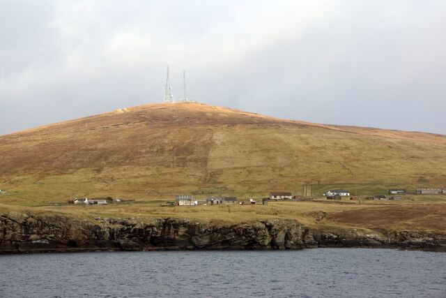
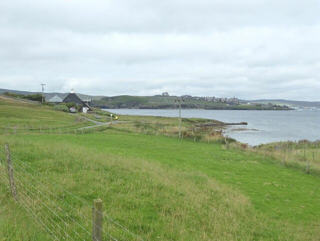
Munger Skerries is a group of small islands located in the Shetland archipelago, situated off the northeast coast of mainland Scotland. This island group is found about 28 kilometers northwest of the Shetland mainland and is part of the North Atlantic Ocean. Munger Skerries consists of several islets, skerries, and rocks that are scattered across an area of approximately 4 square kilometers.
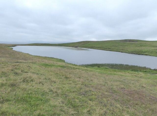
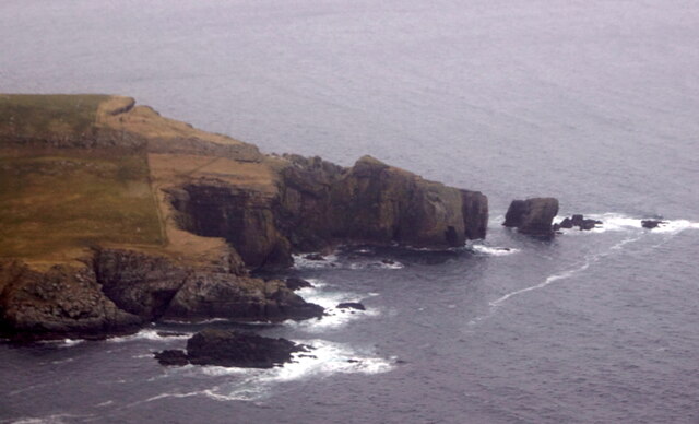
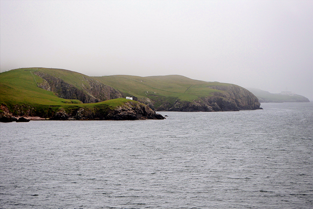
The islands are known for their rugged and rocky terrain, with many steep cliffs and outcrops. The highest point in the Munger Skerries reaches just 15 meters above sea level, offering stunning panoramic views of the surrounding ocean and neighboring islands. The area is characterized by its wild and untouched beauty, with abundant seabird colonies nesting on the cliffs, including puffins, guillemots, and razorbills.
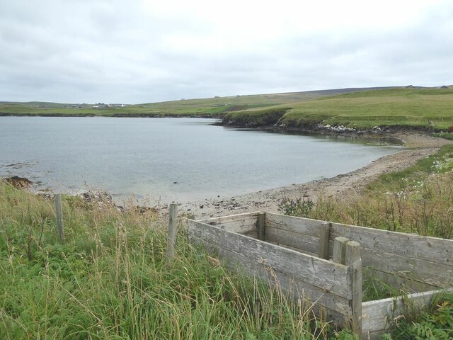
Due to its remote location and the absence of permanent human settlement, Munger Skerries has remained largely untouched by human activity. The islands are uninhabited and offer a haven for wildlife, including seals and otters that can often be spotted along the rocky shores. The surrounding waters are also home to a variety of marine life, making it a popular spot for divers and snorkelers.
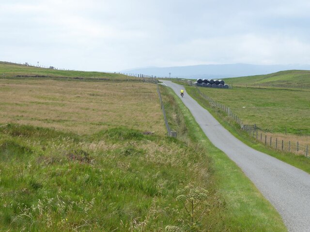
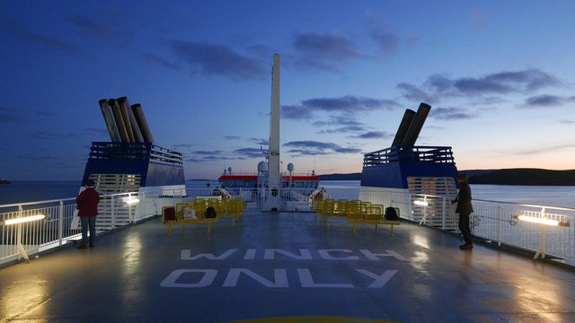
Access to Munger Skerries is primarily by boat, with private or chartered vessels being the most common means of transportation. Visitors can explore the islands, enjoy the breathtaking scenery, and experience the tranquility and isolation that this remote location provides. The untouched nature and abundant wildlife of Munger Skerries make it a must-visit destination for nature lovers and those seeking a unique and peaceful escape.
If you have any feedback on the listing, please let us know in the comments section below.
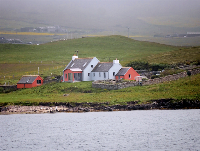
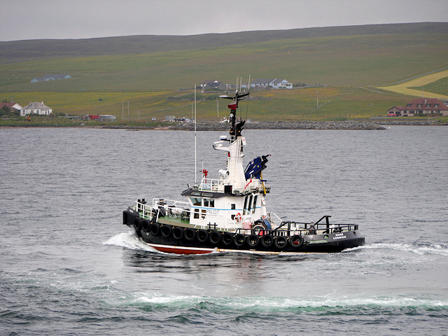
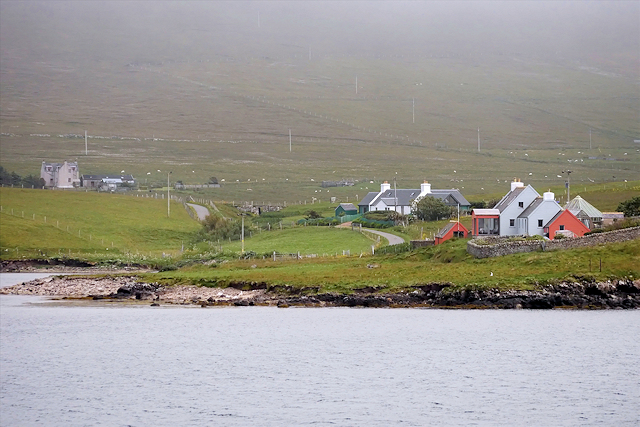
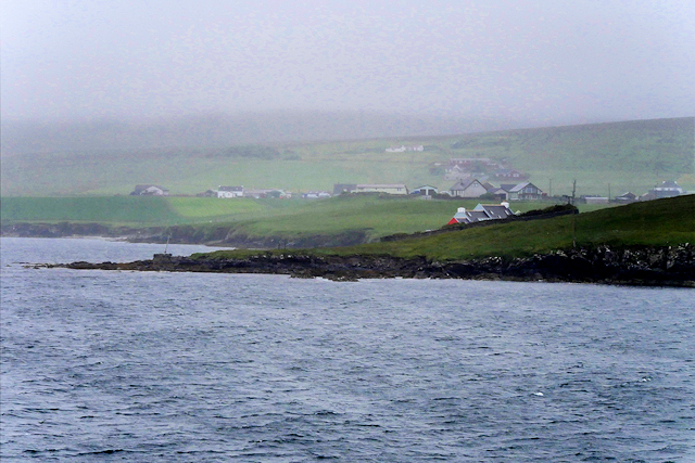
Munger Skerries Images
Images are sourced within 2km of 60.132573/-1.1518896 or Grid Reference HU4738. Thanks to Geograph Open Source API. All images are credited.


Munger Skerries is located at Grid Ref: HU4738 (Lat: 60.132573, Lng: -1.1518896)
Unitary Authority: Shetland Islands
Police Authority: Highlands and Islands
What 3 Words
///skate.satin.towel. Near Lerwick, Shetland Islands
Nearby Locations
Related Wikis
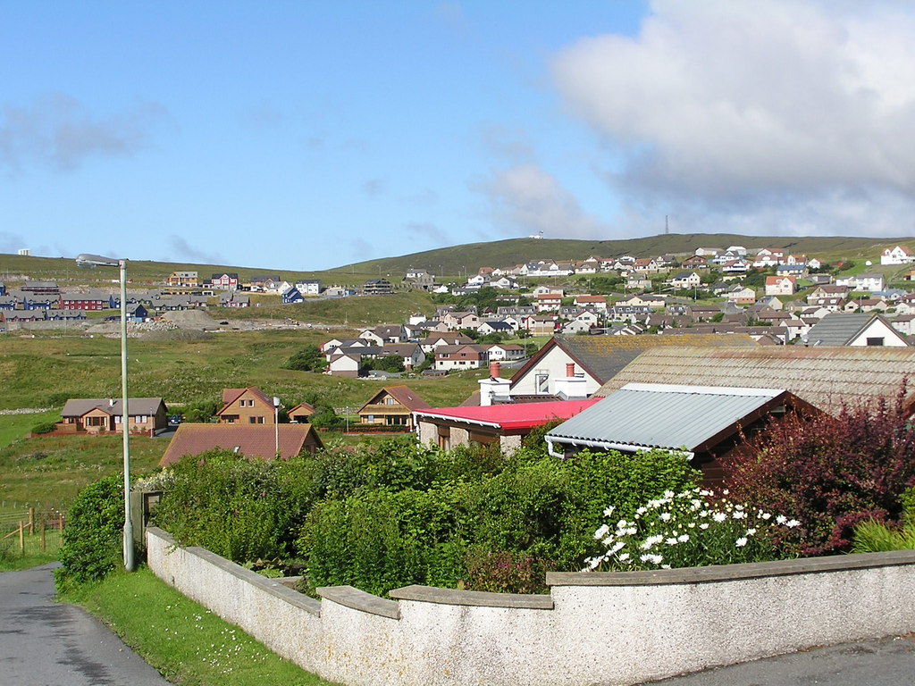
Sound, Lerwick
Sound is an area situated to the south-west of central Lerwick, the capital of Shetland, Scotland.Sound is home to a primary school, public hall, and gospel...

Lerwick Observatory
Lerwick Observatory (also known as Lerwick Magnetic Observatory) is a British meteorological observatory located near the port at Lerwick, Shetland Islands...
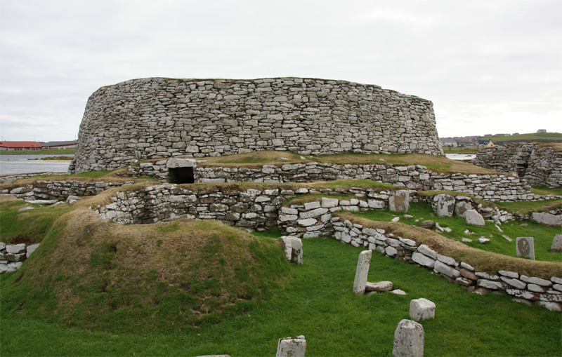
Broch of Clickimin
The Broch of Clickimin (also Clickimin or Clickhimin Broch) is a large, well-preserved but restored broch in Lerwick, Shetland, Scotland (grid reference...

Gilbert Bain Hospital
The Gilbert Bain Hospital is a rural general hospital in the burgh of Lerwick, Shetland, Scotland. It is managed by NHS Shetland. == History == The hospital...
Nearby Amenities
Located within 500m of 60.132573,-1.1518896Have you been to Munger Skerries?
Leave your review of Munger Skerries below (or comments, questions and feedback).