Shetland Islands

Island Group in Shetland

Scotland

Shetland Islands

Hoove, Weisdale
Hoove, Weisdale Credit: Mike Pennington

The Shetland Islands, located in the North Atlantic Ocean, are an archipelago in Scotland, United Kingdom. The island group, known as Shetland, consists of around 100 islands, of which only 15 are inhabited. The largest island, known as Mainland, is where the majority of the population resides.

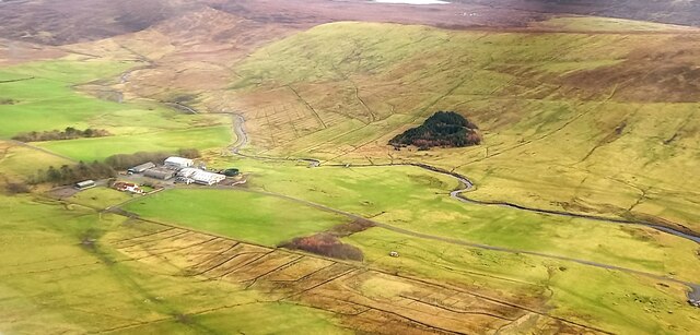
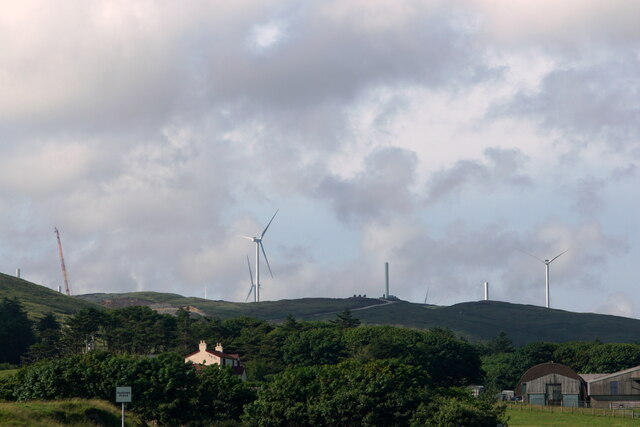
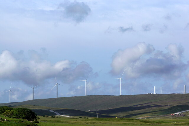
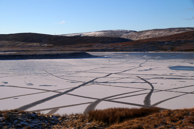
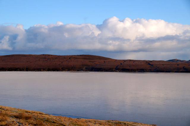
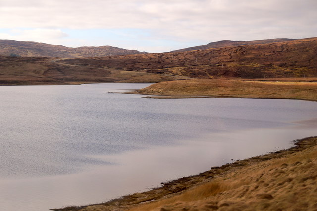
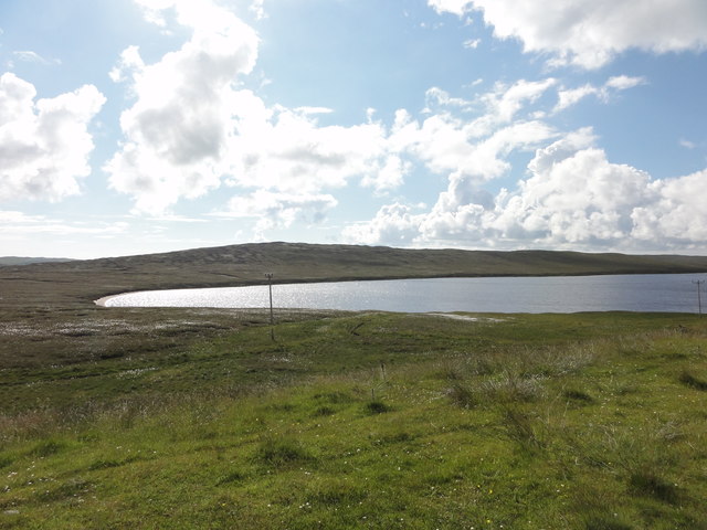
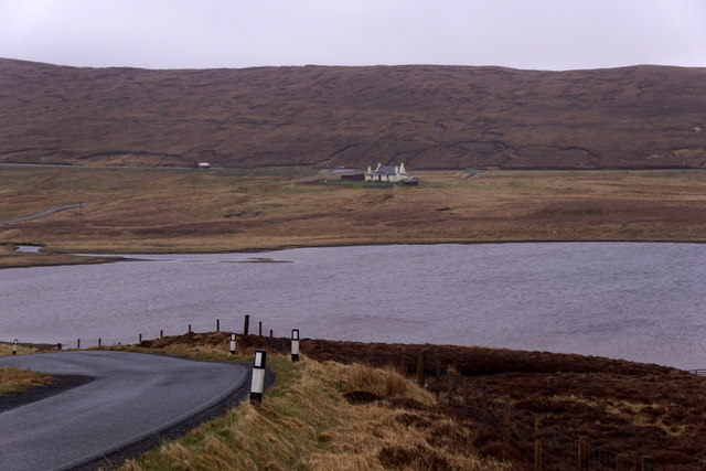
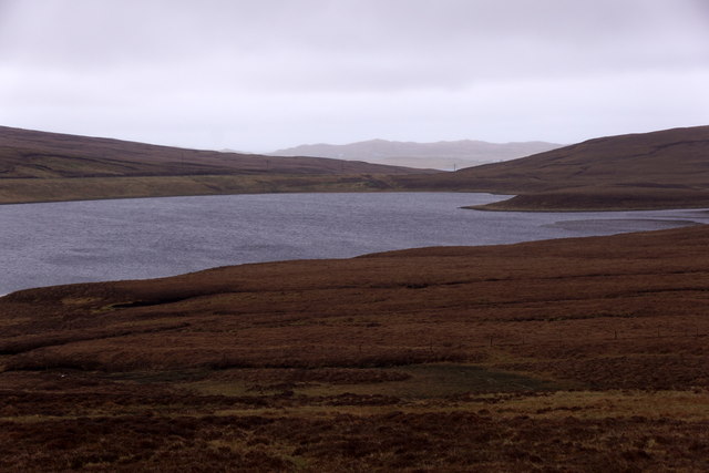
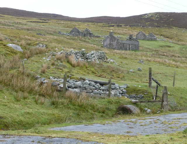
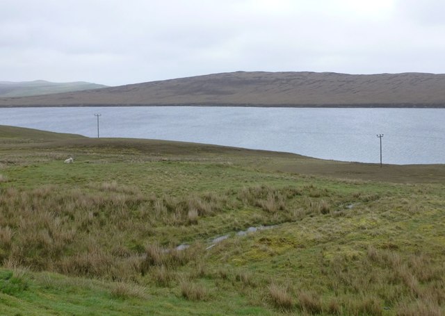
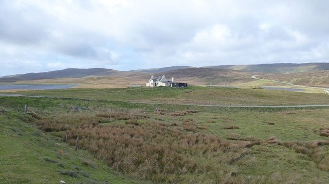
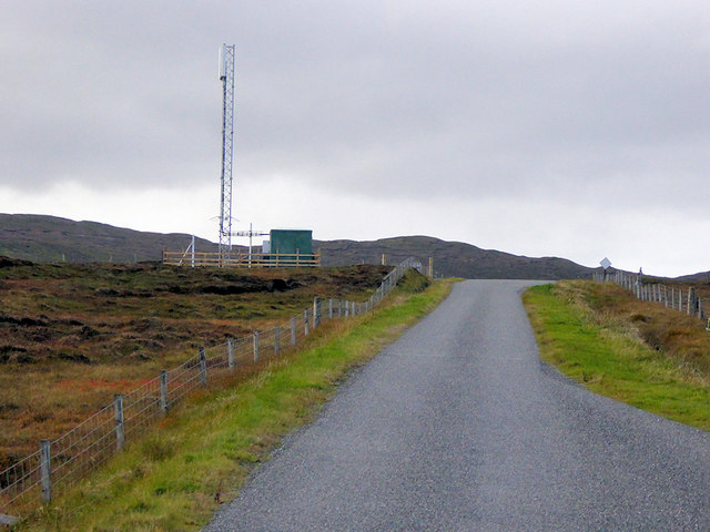
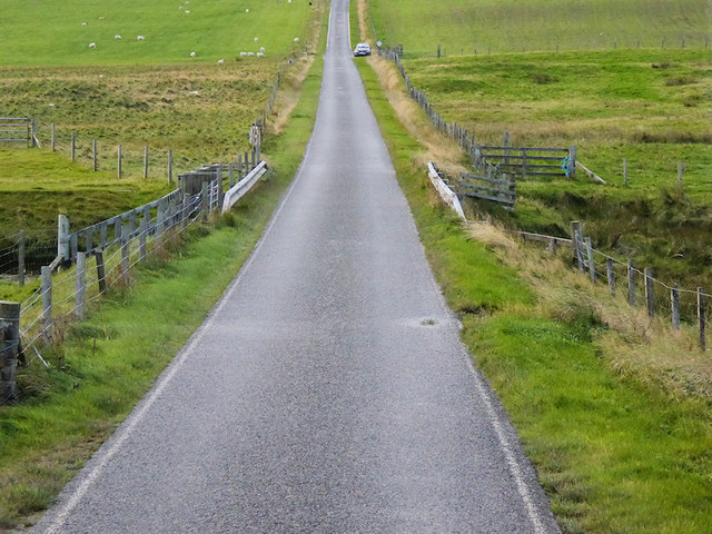
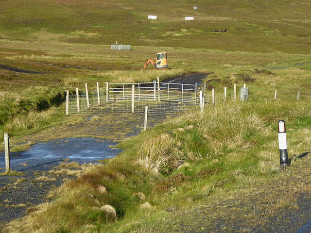
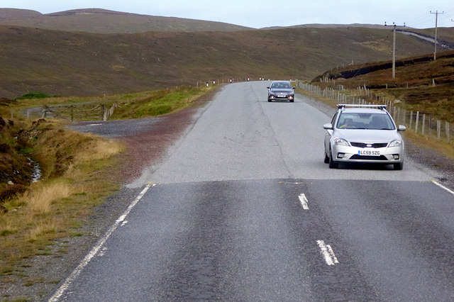
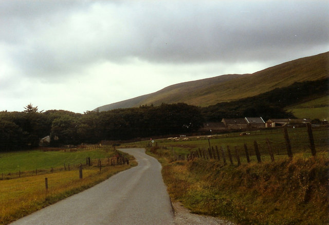
Shetland is renowned for its stunning natural beauty, characterized by rugged coastlines, sandy beaches, and dramatic cliffs. The landscape is dominated by rolling hills and moorlands, providing a picturesque backdrop for visitors and locals alike. The islands are also home to an abundance of wildlife, including seabirds, seals, and otters.

Historically, Shetland has strong Norse roots, as it was under Norse rule for about 500 years before becoming part of Scotland in the 15th century. This rich history is evident in the local culture and traditions, including the annual Up Helly Aa festival, where the islanders celebrate their Viking heritage with fire festivals and parades.

Shetland has a thriving fishing industry, with fishing and aquaculture being major contributors to the local economy. The islands are particularly famous for their high-quality seafood, including scallops, lobsters, and mussels.

Tourism is also an important industry in Shetland, attracting visitors with its unique landscapes, wildlife, and historical sites. The islands offer a range of activities, such as hiking, birdwatching, and exploring archaeological sites, including the ancient settlement of Jarlshof.

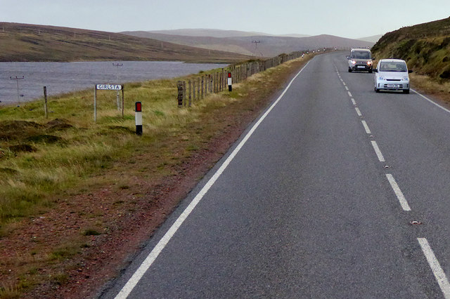
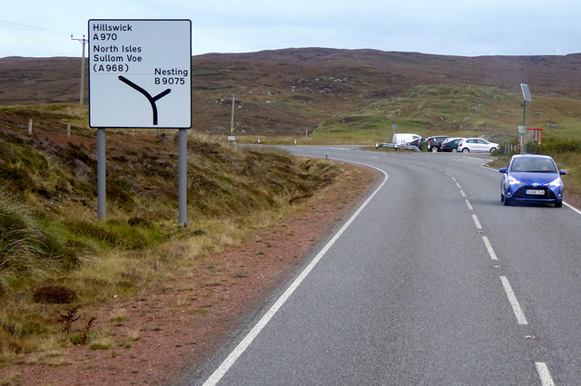
Transportation to and within the islands is facilitated by regular ferry services and flights from mainland Scotland. The Shetland Islands offer a tranquil and unspoiled destination, perfect for nature enthusiasts and those seeking a peaceful retreat amidst breathtaking scenery.

If you have any feedback on the listing, please let us know in the comments section below.

Shetland Islands Images

Images are sourced within 2km of 60.261486/-1.2549085 or Grid Reference HU4153. Thanks to Geograph Open Source API. All images are credited.

Hoove, Weisdale
Hoove, Weisdale
Kergord plantations and Viking Wind Farm
Viking Wind Farm from Weisdale
Frozen Sand Water The loch is frozen and covered in snow, but I'm not sure what the lines on the snow were caused by - possibly they are tracks left by sheep taking a short cut across the ice.
Frozen Sand Water
The loch is frozen and covered in snow, but I'm not sure what the lines on the snow were caused by - possibly they are tracks left by sheep taking a short cut across the ice.
Frozen Loch of Girlsta Girlsta is Shetland's deepest loch, and rarely freezes.
Frozen Loch of Girlsta
Girlsta is Shetland's deepest loch, and rarely freezes.
Sand Water The largest of the many Sand waters in Shetland.
Sand Water
The largest of the many Sand waters in Shetland.
Loch of Girlsta View from the A970 of the Loch of Girlsta
Loch of Girlsta
View from the A970 of the Loch of Girlsta
Sand Water, Tingwall
Deserted settlement of Bretto A familiar scene in many parts of Shetland.
Making a living off the land and sea must have been very hard, 
the weather did not help either!
Deserted settlement of Bretto
A familiar scene in many parts of Shetland. Making a living off the land and sea must have been very hard, the weather did not help either!
Soggy moorland Leading down to Loch of Girlsta.
Soggy moorland
Leading down to Loch of Girlsta.
Sandwater On Whiteness.
The B9075 skirts Sand Water on the right heading for Lamba Scord and Weisdale.
Sandwater
On Whiteness. The B9075 skirts Sand Water on the right heading for Lamba Scord and Weisdale.
Antenna, Lamba Scord Communications antenna on the moorland in the Upper Kergord area.
Antenna, Lamba Scord
Communications antenna on the moorland in the Upper Kergord area.
B9075 crossing the Burn of Weisdale
Southbound A970, Girlsta The loch at Girlsta is the deepest in Shetland, at about 65ft deep in places. The name "Girlsta" comes from the Old Norse "Geirhildastadr" - meaning "the place of Geirhilda". Geirhilda was a young Viking princess, daughter of the famous 9th century Viking explorer, Flóki Vilgerðarson. According to local folklore Geirhilda drowned in the loch after falling through the ice and she is buried on the small island within the loch. 
More information about the story at <span class="nowrap"><a title="https://www.shetlandwithlaurie.com/blog/geirhildrs-loch-a-viking-saga" rel="nofollow ugc noopener" href="https://www.shetlandwithlaurie.com/blog/geirhildrs-loch-a-viking-saga">Link</a><img style="margin-left:2px;" alt="External link" title="External link - shift click to open in new window" src="https://s1.geograph.org.uk/img/external.png" width="10" height="10"/></span> (Shetland with Laurie) and <span class="nowrap"><a title="https://madbassist.wixsite.com/hobbitpaw/folklore" rel="nofollow ugc noopener" href="https://madbassist.wixsite.com/hobbitpaw/folklore">Link</a><img style="margin-left:2px;" alt="External link" title="External link - shift click to open in new window" src="https://s1.geograph.org.uk/img/external.png" width="10" height="10"/></span> (Folklore and Shetland Stories)
Southbound A970, Girlsta
The loch at Girlsta is the deepest in Shetland, at about 65ft deep in places. The name "Girlsta" comes from the Old Norse "Geirhildastadr" - meaning "the place of Geirhilda". Geirhilda was a young Viking princess, daughter of the famous 9th century Viking explorer, Flóki Vilgerðarson. According to local folklore Geirhilda drowned in the loch after falling through the ice and she is buried on the small island within the loch. More information about the story at LinkExternal link (Shetland with Laurie) and LinkExternal link (Folklore and Shetland Stories)
Northbound A970 near Girlsta The A970 runs for 71 miles across most of the length of the "Mainland" in the Shetland Islands. It is a good-quality single-carriageway road for most of its route. Travelling from south to north, the road begins at Grutness near Sumburgh Airport and winds around the many hills and inlets passing close to a number of small villages without going through any large ones before Lerwick. After looping around Lerwick, a short spur runs to Scalloway whilst the main route continues northwards towards Brae where it crosses the narrow isthmus of Mavis Grind. At Sandy Lochs the road splits and a four-mile spur goes through Urafirth to Hillswick. The main route continuing to the right towards its northern terminus at Isbister. This last part of the route tends to be narrower with passing places.

<span class="nowrap"><a title="https://www.sabre-roads.org.uk/wiki/index.php?title=A970" rel="nofollow ugc noopener" href="https://www.sabre-roads.org.uk/wiki/index.php?title=A970">Link</a><img style="margin-left:2px;" alt="External link" title="External link - shift click to open in new window" src="https://s1.geograph.org.uk/img/external.png" width="10" height="10"/></span>  SABRE
Northbound A970 near Girlsta
The A970 runs for 71 miles across most of the length of the "Mainland" in the Shetland Islands. It is a good-quality single-carriageway road for most of its route. Travelling from south to north, the road begins at Grutness near Sumburgh Airport and winds around the many hills and inlets passing close to a number of small villages without going through any large ones before Lerwick. After looping around Lerwick, a short spur runs to Scalloway whilst the main route continues northwards towards Brae where it crosses the narrow isthmus of Mavis Grind. At Sandy Lochs the road splits and a four-mile spur goes through Urafirth to Hillswick. The main route continuing to the right towards its northern terminus at Isbister. This last part of the route tends to be narrower with passing places. LinkExternal link SABRE
Moorland near Catfirth A small section of the old (pre-1970s) road is just visible below the peat.
Moorland near Catfirth
A small section of the old (pre-1970s) road is just visible below the peat.
Northbound A970 near Catfirth The A970 runs for 71 miles across most of the length of the "Mainland" in the Shetland Islands. It is a good-quality single-carriageway road for most of its route. Travelling from south to north, the road begins at Grutness near Sumburgh Airport and winds around the many hills and inlets passing close to a number of small villages without going through any large ones before Lerwick. After looping around Lerwick, a short spur runs to Scalloway whilst the main route continues northwards towards Brae where it crosses the narrow isthmus of Mavis Grind. At Sandy Lochs the road splits and a four-mile spur goes through Urafirth to Hillswick. The main route continuing to the right towards its northern terminus at Isbister. This last part of the route tends to be narrower with passing places.

<span class="nowrap"><a title="https://www.sabre-roads.org.uk/wiki/index.php?title=A970" rel="nofollow ugc noopener" href="https://www.sabre-roads.org.uk/wiki/index.php?title=A970">Link</a><img style="margin-left:2px;" alt="External link" title="External link - shift click to open in new window" src="https://s1.geograph.org.uk/img/external.png" width="10" height="10"/></span>  SABRE
Northbound A970 near Catfirth
The A970 runs for 71 miles across most of the length of the "Mainland" in the Shetland Islands. It is a good-quality single-carriageway road for most of its route. Travelling from south to north, the road begins at Grutness near Sumburgh Airport and winds around the many hills and inlets passing close to a number of small villages without going through any large ones before Lerwick. After looping around Lerwick, a short spur runs to Scalloway whilst the main route continues northwards towards Brae where it crosses the narrow isthmus of Mavis Grind. At Sandy Lochs the road splits and a four-mile spur goes through Urafirth to Hillswick. The main route continuing to the right towards its northern terminus at Isbister. This last part of the route tends to be narrower with passing places. LinkExternal link SABRE
Show me another place!

Shetland Islands is located at Grid Ref: HU4153 (Lat: 60.261486, Lng: -1.2549085)

Unitary Authority: Shetland Islands

Police Authority: Highlands and Islands

What 3 Words

///valve.myth.simulator. Near Aith, Shetland Islands

Nearby Locations

Shetland Islands

Related Wikis

Have you been to Shetland Islands?

Leave your review of Shetland Islands below (or comments, questions and feedback).