Galtachan

Island Group in Ross-shire

Scotland

Galtachan

Galtachan
Galtachan Credit: Chris Wimbush

The requested URL returned error: 429 Too Many Requests

If you have any feedback on the listing, please let us know in the comments section below.
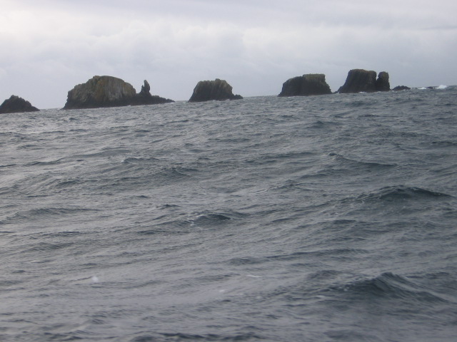
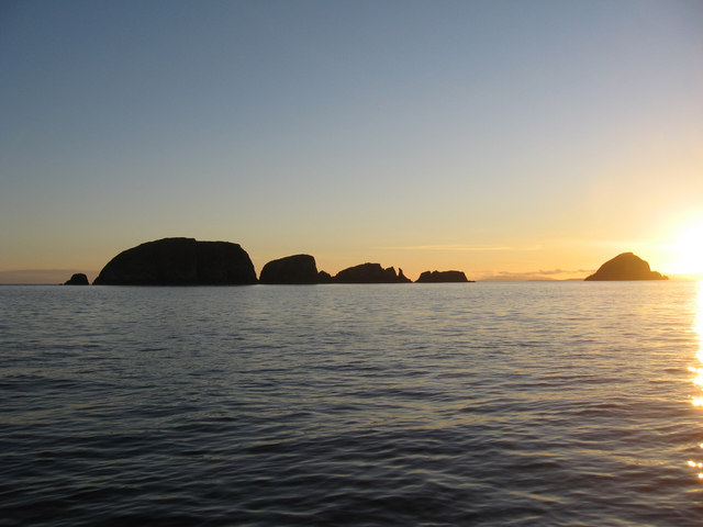
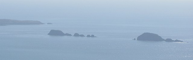
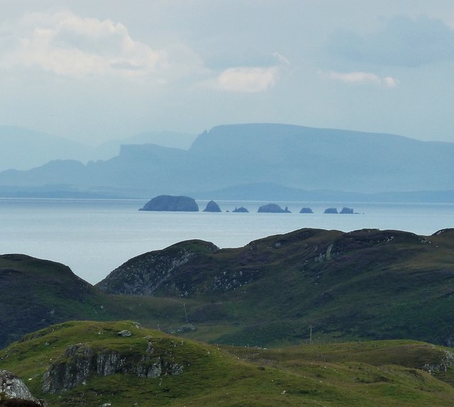
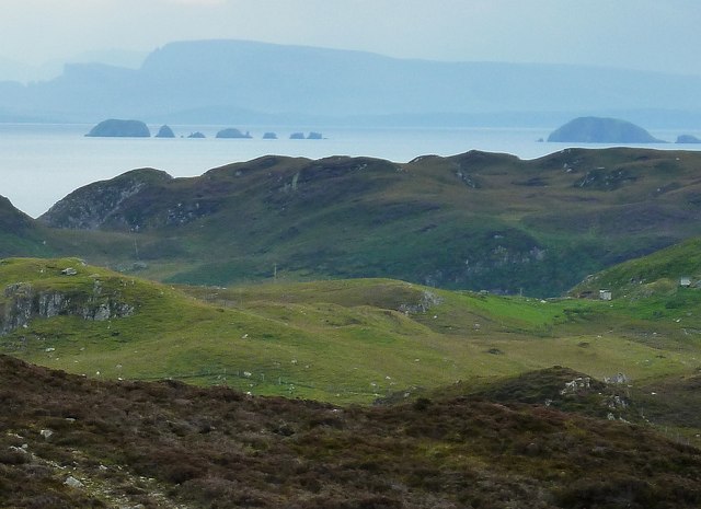
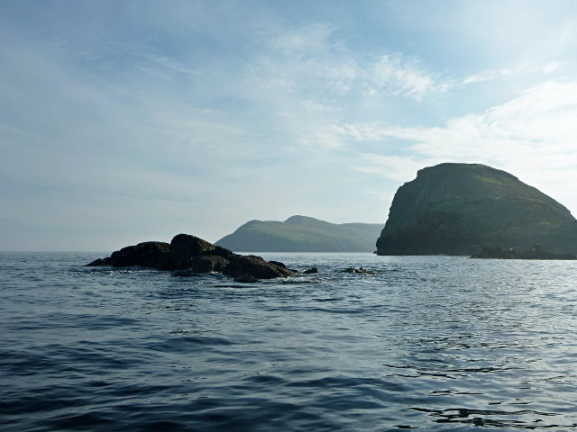
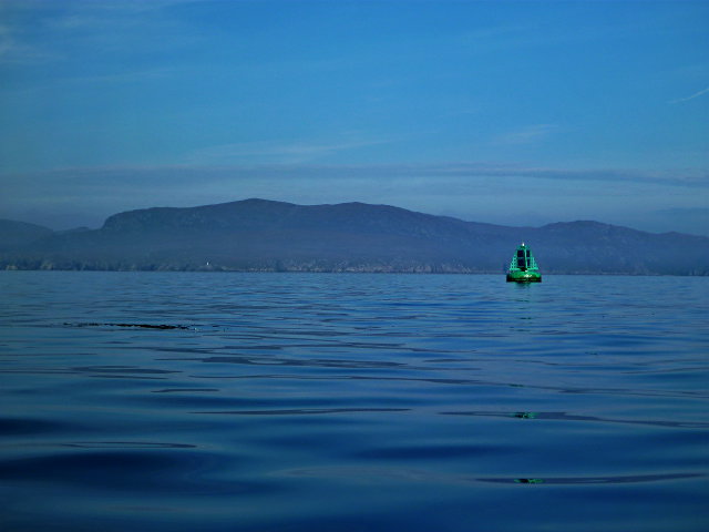
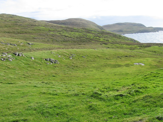
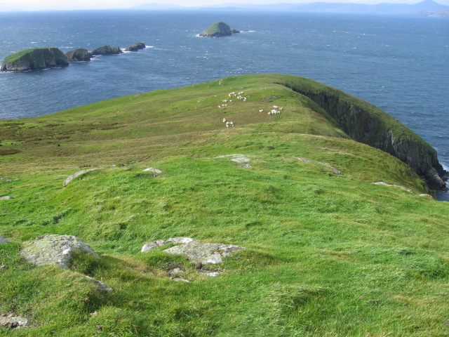
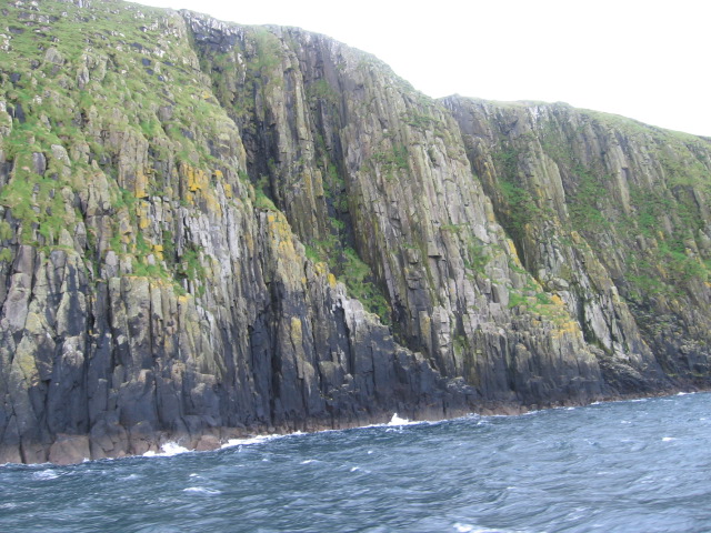
Galtachan Images

Images are sourced within 2km of 57.897974/-6.4029109 or Grid Reference NG3998. Thanks to Geograph Open Source API. All images are credited.

Galtachan
Galtachan
Galtachan After a trip from Lochmaddy to the Shiant Isles, we are heading towards Stornoway.
Galtachan
After a trip from Lochmaddy to the Shiant Isles, we are heading towards Stornoway.
Galtachan A line of skerries running west from the Shiant Islands. View from Uisinis, Pairc.
Galtachan
A line of skerries running west from the Shiant Islands. View from Uisinis, Pairc.
Eastern Galtachan from southeastern Lewis A zoomed view from the same position as <a href="https://www.geograph.org.uk/photo/2621888">NB3714 : The view across the Minch from south of Grabhair</a> focusing on the row of little islets to the west of the Shiant Islands that make up the eastern section of Galtachan - In order from left to right, the islets that comprise Galtachan are:
Galta Beag, Bodach and Staca Làidir with various rocks dotted about round them. The other two main islets of Galtachan - Galta Mòr and Sgeir Mhic a' Ghobha - can be seen in <a href="https://www.geograph.org.uk/photo/2621995">NG3998 : Galtachan from southeastern Lewis</a>
The mountains looming in the background are those of northern Skye.
Eastern Galtachan from southeastern Lewis
A zoomed view from the same position as NB3714 : The view across the Minch from south of Grabhair focusing on the row of little islets to the west of the Shiant Islands that make up the eastern section of Galtachan - In order from left to right, the islets that comprise Galtachan are: Galta Beag, Bodach and Staca Làidir with various rocks dotted about round them. The other two main islets of Galtachan - Galta Mòr and Sgeir Mhic a' Ghobha - can be seen in NG3998 : Galtachan from southeastern Lewis The mountains looming in the background are those of northern Skye.
Galtachan from southeastern Lewis This is rather a grainy view of the Galtachan archipelago to the west of the Shiant Isles, but it does show all the main islets of the chain rather than just the eastern ones seen in <a href="https://www.geograph.org.uk/photo/2621947">NG3998 : Eastern Galtachan from southeastern Lewis</a>.
Galtachan from southeastern Lewis
This is rather a grainy view of the Galtachan archipelago to the west of the Shiant Isles, but it does show all the main islets of the chain rather than just the eastern ones seen in NG3998 : Eastern Galtachan from southeastern Lewis.
Western end of the Galtachan Galta Mòr and a few tidal skerries to the west.  A theory for the etymology is that it derives from a Norse word that is the root of 'gable' in English.

There is another tidal rock further to the west, Damhag, but it was still underwater at this stage of the tide.
Western end of the Galtachan
Galta Mòr and a few tidal skerries to the west. A theory for the etymology is that it derives from a Norse word that is the root of 'gable' in English. There is another tidal rock further to the west, Damhag, but it was still underwater at this stage of the tide.
Shiants marker buoy Although a starboard-hand buoy, this one is normally passed to port, as it delineates the southbound shipping lane through the Little Minch.  Visible on Lewis behind is the lighthouse that marks the other side of the lane.

On days that are not quite so calm as this, it's probably a welcome sight after the treacherous waters of the Sound of Shiant.
Shiants marker buoy
Although a starboard-hand buoy, this one is normally passed to port, as it delineates the southbound shipping lane through the Little Minch. Visible on Lewis behind is the lighthouse that marks the other side of the lane. On days that are not quite so calm as this, it's probably a welcome sight after the treacherous waters of the Sound of Shiant.
Near Rubha Stocanis
Near Rubha Stocanis
NW point of Garbh Eilean, Shiant Isles In the distance is Harris and, to the left, the islet of Galta Mor
NW point of Garbh Eilean, Shiant Isles
In the distance is Harris and, to the left, the islet of Galta Mor
Galta Beag from Garbh Eileann
Tobhaichean Caola basalt cliffs on Garbh Eilean
Airighean na h-Annaid on Garbh Eilean, the Shiants
Show me another place!

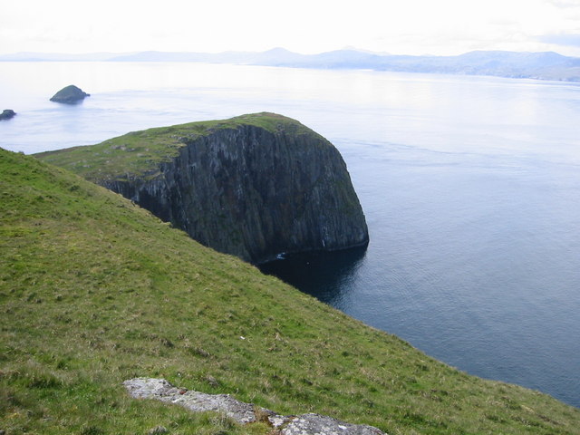
Galtachan is located at Grid Ref: NG3998 (Lat: 57.897974, Lng: -6.4029109)

Unitary Authority: Na h-Eileanan an Iar

Police Authority: Highlands and Islands

What 3 Words

///sling.nervy.skinning. Near Tarbert, Na h-Eileanan Siar

Related Wikis

Garbh Eilean, Shiant Islands

Garbh Eilean (Scottish Gaelic Rough Isle) is one of the Shiant Islands at the south end of the Minch on the west coast of Scotland. == Geology == In geological...

Shiant Islands

The Shiant Islands (; Scottish Gaelic: Na h-Eileanan Mòra [nə ˈhelanən ˈmoːɾə] or Na h-Eileanan Seunta [nə ˈhelanən ˈʃiant̪ə] ) or Shiant Isles are a privately...

Eilean an Taighe

"Eilean an Taighe", or "Eilean Taigh" is a fairly common island nameEilean an T(a)ighe, meaning "House Island" (lit. "Island of the House"), is one of...

Eilean Mhuire

Eilean Mhuire (meaning "Virgin Mary's island") is the most easterly of the Shiant Islands in the Outer Hebrides. Once populated, Eilean Mhuire is now used...

Have you been to Galtachan?

Leave your review of Galtachan below (or comments, questions and feedback).