Garvald

Settlement in East Lothian

Scotland

Garvald

Trees above Donolly The two trees above the Donolly Burn in very different conditions to those seen here. A January day with cold winds but no snow.
<a title="https://www.geograph.org.uk/photo/5702840" href="https://www.geograph.org.uk/photo/5702840">Link</a>
Trees above Donolly Credit: Adam Ward

Garvald is a charming village located in East Lothian, Scotland. Situated approximately 25 miles east of Edinburgh, it is nestled within the picturesque countryside, offering residents and visitors a tranquil and idyllic setting.

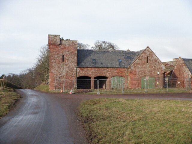
The village is known for its rich history, dating back to medieval times when it was a bustling market town. Today, it retains its traditional character with well-preserved historic buildings and a close-knit community. The centerpiece of Garvald is its beautiful church, built in the 12th century, which serves as a reminder of its historical significance.

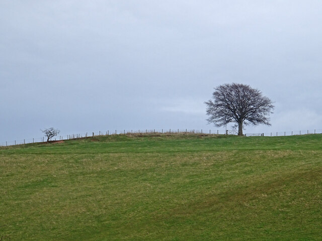
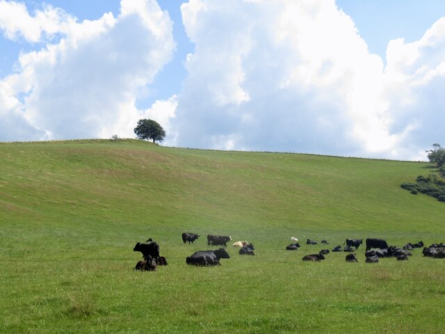
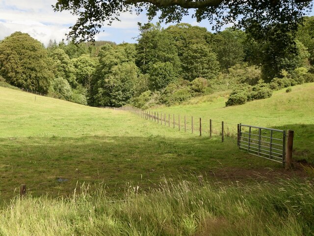
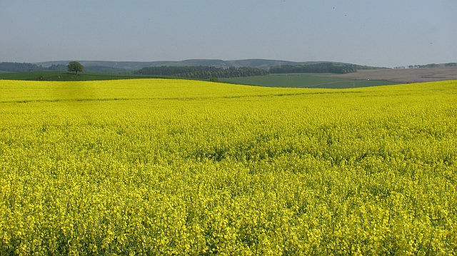
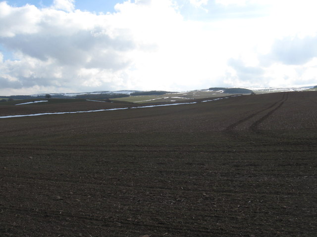
Surrounded by rolling hills and lush green fields, Garvald is a haven for nature lovers. The surrounding countryside provides ample opportunities for outdoor activities such as walking, cycling, and horse riding. The nearby Garvald Glen, a picturesque wooded area, is a popular spot for nature walks and bird watching.

Despite its rural setting, Garvald is well-connected to neighboring towns and cities. It is conveniently located near major road networks, making it easily accessible by car. Additionally, public transportation options are available, with regular bus services connecting the village to nearby towns and Edinburgh.

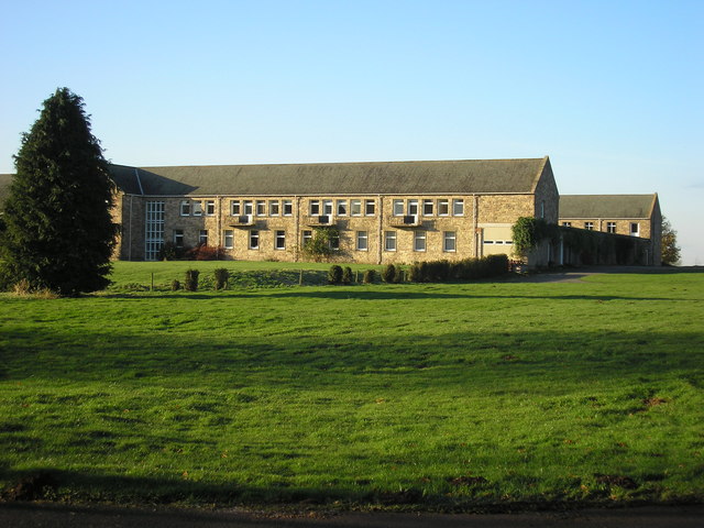
Garvald is home to a close-knit community, with a range of local amenities that cater to the needs of its residents. These include a village hall, where various community events and activities take place, as well as a primary school, ensuring that families have access to essential services.

Overall, Garvald offers a peaceful and picturesque lifestyle, making it a desirable place to live or visit for those seeking a slower pace of life and a connection to nature.

If you have any feedback on the listing, please let us know in the comments section below.

Garvald Images

Images are sourced within 2km of 55.928753/-2.661158 or Grid Reference NT5870. Thanks to Geograph Open Source API. All images are credited.

Trees above Donolly The two trees above the Donolly Burn in very different conditions to those seen here. A January day with cold winds but no snow.
<a title="https://www.geograph.org.uk/photo/5702840" href="https://www.geograph.org.uk/photo/5702840">Link</a>
Trees above Donolly
The two trees above the Donolly Burn in very different conditions to those seen here. A January day with cold winds but no snow. Link
Cattle, Garvald Mains
Road to Donolly Reservoir
Spring barley, Nunraw
Pasture, Nunraw
Pasture, Nunraw
Castle Moffat Empty steading, there was some work taking place on the roof.
Castle Moffat
Empty steading, there was some work taking place on the roof.
Castle Moffat The buildings of a former Glebe Farm for the nearby Sancta Maria Abbey that now belong to a college. Now surrounded by Heras fencing it is soon to be converted into some 60 apartments for students, according to the owner of the old farmhouse next door permission has been given for the shape of this listed building to be considerably altered.
Castle Moffat
The buildings of a former Glebe Farm for the nearby Sancta Maria Abbey that now belong to a college. Now surrounded by Heras fencing it is soon to be converted into some 60 apartments for students, according to the owner of the old farmhouse next door permission has been given for the shape of this listed building to be considerably altered.
Castle Moffat Part of the rather grand sandstone buildings at Castle Moffat farm.
Castle Moffat
Part of the rather grand sandstone buildings at Castle Moffat farm.
Farm buildings at Castle Moffat Made of Old Red Sandstone, the local East Lothian stone.
Farm buildings at Castle Moffat
Made of Old Red Sandstone, the local East Lothian stone.
Castle Moffat Not what it seems - a corner of some farm buildings, and nowhere near Moffat.
Castle Moffat
Not what it seems - a corner of some farm buildings, and nowhere near Moffat.
Part of the steading at Castle Moffat Rather grand red sandstone buildings.
Part of the steading at Castle Moffat
Rather grand red sandstone buildings.
View over the fields from Castle Moffat
Looking north from Broomy Brae A view over woods at Nunraw, towards Traprain Law [5 km away] and the Bass Rock [17 km].
Looking north from Broomy Brae
A view over woods at Nunraw, towards Traprain Law [5 km away] and the Bass Rock [17 km].
Nunraw Abbey across the fields Looking northwest from near Castle Moffat.
Nunraw Abbey across the fields
Looking northwest from near Castle Moffat.
Broomy Brae Country lane between Castle Moffat and Nunraw.
Broomy Brae
Country lane between Castle Moffat and Nunraw.
Winter cereals, Carfrae
Oil seed rape, Carfrae Yellow peril in May.
Oil seed rape, Carfrae
Yellow peril in May.
Recently tilled field near Carfrae Farm in East Lothian With the Lammermuirs in the background.
Recently tilled field near Carfrae Farm in East Lothian
With the Lammermuirs in the background.
Show me another place!

Garvald is located at Grid Ref: NT5870 (Lat: 55.928753, Lng: -2.661158)

Unitary Authority: East Lothian

Police Authority: The Lothians and Scottish Borders

What 3 Words

///lightbulb.dabbling.battling. Near East Linton, East Lothian

Nearby Locations

Sled Wood Garvald

Related Wikis

Garvald, East Lothian

Garvald is a village south-east of Haddington in East Lothian, Scotland. It lies on the Papana Water south of the B6370, east of Gifford. The combined...
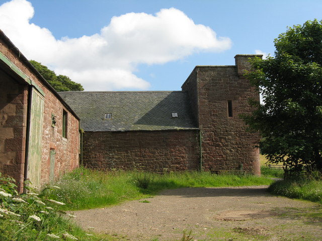
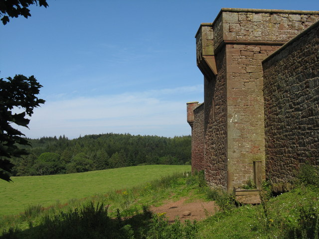
Stoneypath Tower

Stoneypath Tower, is an L-plan tower house dating from the late sixteenth century, about 3.5 miles (5.6 km) south of East Linton, and east of the Whittinghame...

Sancta Maria Abbey, Nunraw

Nunraw Abbey or Sancta Maria Abbey, Nunraw is a working Trappist (Ordo Cisterciensis Strictioris Observantiae) monastery. It was the first Cistercian house...

Bara, East Lothian

Bara, anciently spelt Baro, is an agricultural parish in East Lothian, Scotland, which adjoins the parish of Garvald to the east, and Lauder across the...

Nearby Amenities

Located within 500m of 55.928753,-2.661158
Garvald
Is In: East Lothian, Scotland
Name Gd: An Garbh-Allt
Place: village
Lat/Long: 55.9288198/-2.6610585
Bus Stop
Garvald
Naptan AtcoCode: 627009050410
Naptan Bearing: W
Naptan CommonName: Garvald
Naptan Indicator: at Hotel
Naptan NaptanCode: 58234354
Naptan Street: Minor Road C100
Naptan Verified: no
Source: naptan_import
Lat/Long: 55.9285528/-2.6616669
Post Box
Operator: Royal Mail
Post Box Mounting: wooden_post
Post Box Type: lamp
Ref: EH41 306
Royal Cypher: scottish_crown
Lat/Long: 55.928804/-2.6606282
Garvald Grange
Place: farm
Lat/Long: 55.9324414/-2.659918
Nunraw Barns
Place: locality
Lat/Long: 55.9250604/-2.6596391
Bench
Lat/Long: 55.9276972/-2.6617304
Tourism: picnic_site
Lat/Long: 55.927722/-2.6620777
Fixme: continue
Lat/Long: 55.9280977/-2.6632512
Power: pole
Source: EsriWorldImageryClarity
Lat/Long: 55.9270043/-2.657668
Power: pole
Lat/Long: 55.9263377/-2.6595599
Power: pole
Lat/Long: 55.926005/-2.660508
Power: pole
Lat/Long: 55.9254318/-2.6614603
Power: pole
Lat/Long: 55.9248504/-2.6624167
Power: pole
Source: EsriWorldImageryClarity
Lat/Long: 55.9280152/-2.6547883
Power: pole
Source: EsriWorldImageryClarity
Lat/Long: 55.9283631/-2.6538277
Power: pole
Source: EsriWorldImageryClarity
Lat/Long: 55.9276826/-2.6557447
Power: pole
Lat/Long: 55.9266751/-2.6585973
Power: pole
Source: EsriWorldImageryClarity
Lat/Long: 55.9268551/-2.6550222
Power: pole
Lat/Long: 55.9273382/-2.656722
Power: pole
Lat/Long: 55.9248166/-2.6606476
Power: pole
Lat/Long: 55.9327407/-2.6647146
Power: pole
Lat/Long: 55.9329258/-2.6634302
Power: pole
Lat/Long: 55.9330655/-2.6625091
Power: pole
Lat/Long: 55.9332506/-2.6613276
Defibrillator
Defibrillator Location: outside public toilets opposite play area in Garvald
Emergency: defibrillator
Indoor: no
Ref GB The Circuit: 88FE717B-778C-430E-BC8A-2070536F719E
Lat/Long: 55.9283657/-2.6629141
Telephone
Booth: K6
Covered: booth
Note: phone box has lots of books as well as a telephone inside
Lat/Long: 55.9281959/-2.6629642
The data included in this document is from www.openstreetmap.org. The data is made available under ODbL.

Have you been to Garvald?

Leave your review of Garvald below (or comments, questions and feedback).