Sled Wood

Wood, Forest in East Lothian

Scotland

Sled Wood

Trees above Donolly The two trees above the Donolly Burn in very different conditions to those seen here. A January day with cold winds but no snow.
<a title="https://www.geograph.org.uk/photo/5702840" href="https://www.geograph.org.uk/photo/5702840">Link</a>
Trees above Donolly Credit: Adam Ward

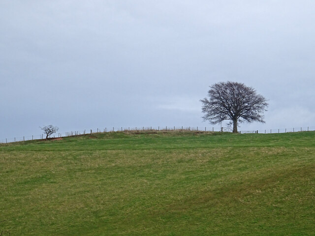
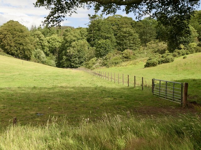
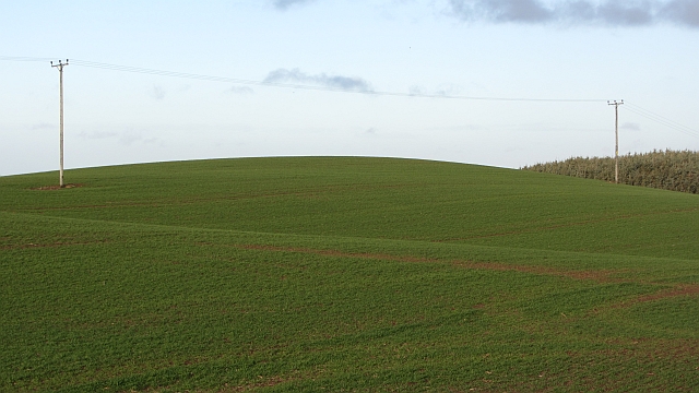
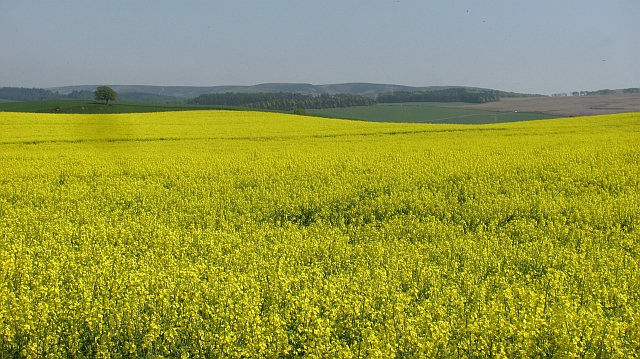
Sled Wood is a picturesque forest located in East Lothian, Scotland. Covering an area of approximately 150 hectares, this enchanting woodland offers a tranquil escape from the hustle and bustle of daily life. The wood is situated near the village of East Saltoun, just a short drive from the town of Haddington.

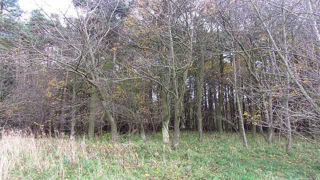
Sled Wood boasts a diverse range of tree species, including oak, birch, beech, and pine, creating a rich and varied landscape. The forest is renowned for its stunning display of bluebells that carpet the forest floor during the spring months, attracting visitors from far and wide.

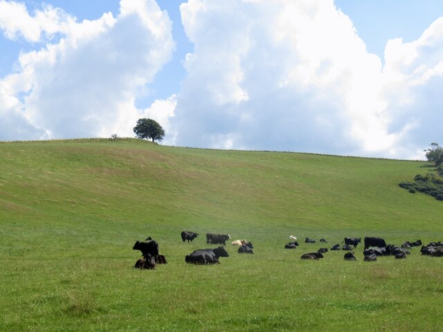
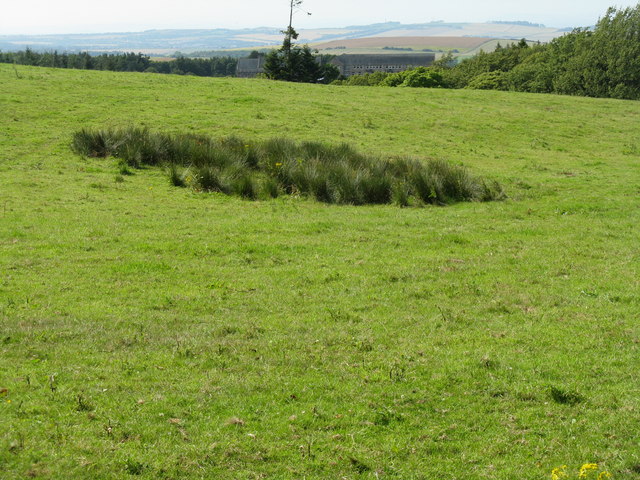
The wood is a haven for wildlife, providing a habitat for numerous species. Birdwatchers can spot a variety of birds, including woodpeckers, owls, and various songbirds. Red squirrels can also be seen darting through the branches, while deer and foxes roam the forest floor.

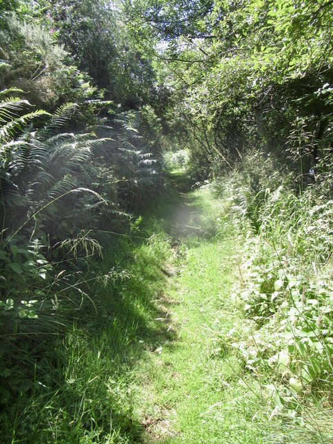
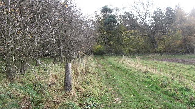
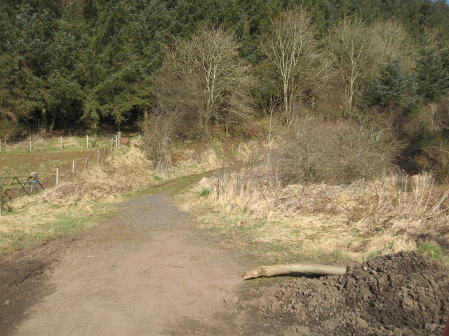
Visitors to Sled Wood can enjoy a network of well-maintained trails, suitable for walking, hiking, and cycling. The paths wind their way through the woodland, offering breathtaking views and a chance to immerse oneself in nature. There are also picnic areas and benches scattered throughout the wood, providing the perfect spot to rest and appreciate the peaceful surroundings.

Sled Wood is a popular destination for nature enthusiasts, families, and photographers seeking to capture the beauty of this ancient forest. With its stunning scenery, abundant wildlife, and tranquil atmosphere, Sled Wood is a true gem of East Lothian and a must-visit for anyone looking to reconnect with nature.

If you have any feedback on the listing, please let us know in the comments section below.

Sled Wood Images

Images are sourced within 2km of 55.92337/-2.6716239 or Grid Reference NT5870. Thanks to Geograph Open Source API. All images are credited.

Trees above Donolly The two trees above the Donolly Burn in very different conditions to those seen here. A January day with cold winds but no snow.
<a title="https://www.geograph.org.uk/photo/5702840" href="https://www.geograph.org.uk/photo/5702840">Link</a>
Trees above Donolly
The two trees above the Donolly Burn in very different conditions to those seen here. A January day with cold winds but no snow. Link
Cattle, Garvald Mains
Road to Donolly Reservoir
Path, Donolly Reservoir A little overgrown in places and I came home with some alarming looking dermatitis on one leg, so there may be some hogweed of some description lurking here or alongside the Danskine Loch.
Path, Donolly Reservoir
A little overgrown in places and I came home with some alarming looking dermatitis on one leg, so there may be some hogweed of some description lurking here or alongside the Danskine Loch.
Donolly Reservoir As usual in Summer, rather green looking.
Donolly Reservoir
As usual in Summer, rather green looking.
Spring barley, Nunraw
Pasture, Nunraw
Pasture, Nunraw
Looking north from Broomy Brae A view over woods at Nunraw, towards Traprain Law [5 km away] and the Bass Rock [17 km].
Looking north from Broomy Brae
A view over woods at Nunraw, towards Traprain Law [5 km away] and the Bass Rock [17 km].
Nunraw Abbey across the fields Looking northwest from near Castle Moffat.
Nunraw Abbey across the fields
Looking northwest from near Castle Moffat.
Broomy Brae Country lane between Castle Moffat and Nunraw.
Broomy Brae
Country lane between Castle Moffat and Nunraw.
Baro Wood Mixed woodland at Baro.
Baro Wood
Mixed woodland at Baro.
Track into Baro Wood A field edge track heads into Baro Wood.
Track into Baro Wood
A field edge track heads into Baro Wood.
Stubble, Carfrae A vast amalgamated field which has yet to be ploughed and was rich in birdlife.
Stubble, Carfrae
A vast amalgamated field which has yet to be ploughed and was rich in birdlife.
Winter cereals, Carfrae
Oil seed rape, Carfrae Yellow peril in May.
Oil seed rape, Carfrae
Yellow peril in May.
Recently tilled field near Carfrae Farm in East Lothian With the Lammermuirs in the background.
Recently tilled field near Carfrae Farm in East Lothian
With the Lammermuirs in the background.
Hill road to Garvald in East Lothian Running away from Carfrae.
Hill road to Garvald in East Lothian
Running away from Carfrae.
Footpath near Garvald Mains Leading ultiamtely to Chesters near Baro.
Footpath near Garvald Mains
Leading ultiamtely to Chesters near Baro.
Show me another place!

Sled Wood is located at Grid Ref: NT5870 (Lat: 55.92337, Lng: -2.6716239)

Unitary Authority: East Lothian

Police Authority: The Lothians and Scottish Borders

What 3 Words

///skim.reform.drags. Near East Linton, East Lothian

Nearby Locations

Garvald Sled Wood

Related Wikis

Garvald, East Lothian

Garvald is a village south-east of Haddington in East Lothian, Scotland. It lies on the Papana Water south of the B6370, east of Gifford. The combined...

Sancta Maria Abbey, Nunraw

Nunraw Abbey or Sancta Maria Abbey, Nunraw is a working Trappist (Ordo Cisterciensis Strictioris Observantiae) monastery. It was the first Cistercian house...

Bara, East Lothian

Bara, anciently spelt Baro, is an agricultural parish in East Lothian, Scotland, which adjoins the parish of Garvald to the east, and Lauder across the...

Stoneypath Tower

Stoneypath Tower, is an L-plan tower house dating from the late sixteenth century, about 3.5 miles (5.6 km) south of East Linton, and east of the Whittinghame...

Nearby Amenities

Located within 500m of 55.92337,-2.6716239
Fort
Historic: archaeological_site
Lat/Long: 55.9194522/-2.6682297
Sled Hill
Natural: peak
Lat/Long: 55.9221103/-2.6780473
Power: pole
Lat/Long: 55.9236982/-2.6643399
Power: pole
Lat/Long: 55.923265/-2.6650671
Power: pole
Lat/Long: 55.9228307/-2.6661048
Power: pole
Lat/Long: 55.9223789/-2.6672195
Power: pole
Lat/Long: 55.9218652/-2.6682906
Power: pole
Lat/Long: 55.9215453/-2.6690178
Power: pole
Lat/Long: 55.9211716/-2.669895
Power: pole
Lat/Long: 55.9208891/-2.6705451
Power: pole
Lat/Long: 55.920533/-2.6713577
Power: pole
Lat/Long: 55.9200811/-2.6724037
Power: pole
Lat/Long: 55.9197203/-2.6732289
Power: pole
Lat/Long: 55.9194039/-2.6739936
Power: pole
Lat/Long: 55.9214612/-2.6677592
Power: pole
Lat/Long: 55.9210631/-2.66723
Power: pole
Lat/Long: 55.9206708/-2.6667278
The data included in this document is from www.openstreetmap.org. The data is made available under ODbL.

Have you been to Sled Wood?

Leave your review of Sled Wood below (or comments, questions and feedback).