Back Braes Wood

Wood, Forest in Berwickshire

Scotland

Back Braes Wood

Trees by the Brunta Burn Looking west over upland pasture.
Trees by the Brunta Burn Credit: M J Richardson

Back Braes Wood is a picturesque woodland located in Berwickshire, Scotland. Situated on the east coast of the country, the wood covers an area of approximately 100 acres, making it a significant natural feature in the region. The woodland is nestled between the villages of Coldingham and St. Abbs, offering visitors a tranquil and scenic environment to explore.

Back Braes Wood boasts a diverse range of tree species, including oak, beech, ash, and birch, creating a beautiful and varied landscape. The wood is known for its dense canopy, which provides shelter and habitat for a wide array of wildlife, including various bird species, mammals, and insects.

Visitors to Back Braes Wood can enjoy a network of well-maintained walking trails that wind through the forest, enabling them to immerse themselves in the natural beauty of the area. The trails vary in difficulty, catering to both casual strollers and experienced hikers. The wood also offers several viewpoints that provide breathtaking vistas of the surrounding countryside and coastline, making it a popular destination for photographers and nature enthusiasts.

In addition to its natural beauty, Back Braes Wood holds historical significance. The remains of an Iron Age fort can be found within the woodland, serving as a reminder of the area's rich cultural heritage.

Overall, Back Braes Wood in Berwickshire is a captivating destination for those seeking tranquility, natural beauty, and a connection to Scotland's past. Whether it's a leisurely walk, birdwatching, or simply enjoying the serene atmosphere, this woodland offers something for everyone.

If you have any feedback on the listing, please let us know in the comments section below.

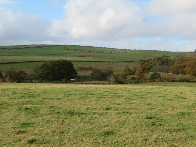
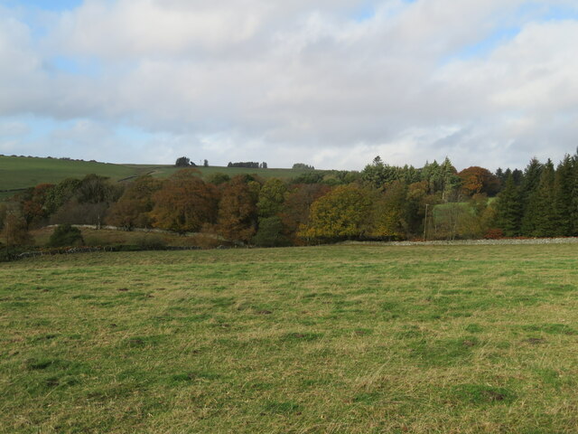
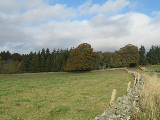
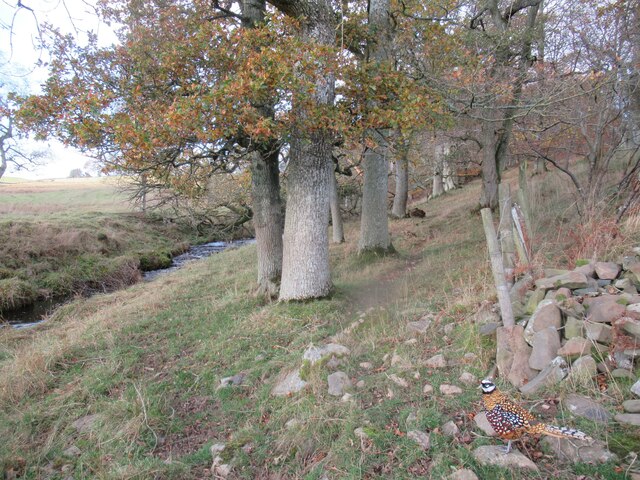
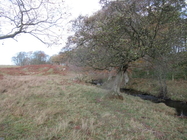
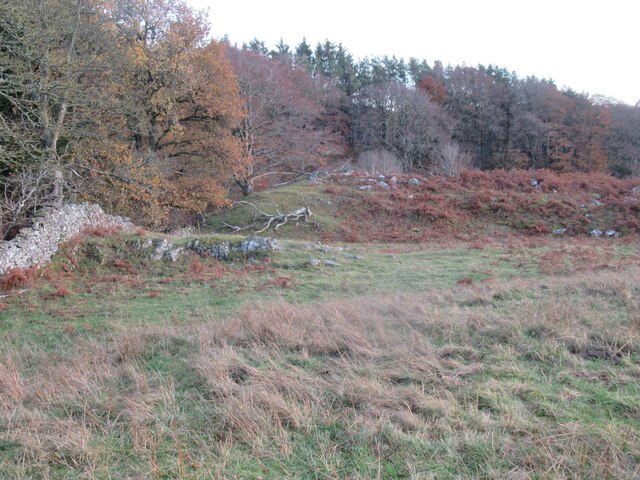
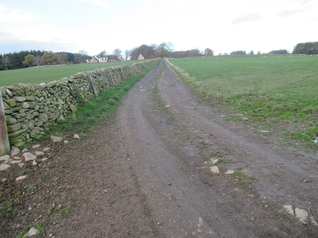
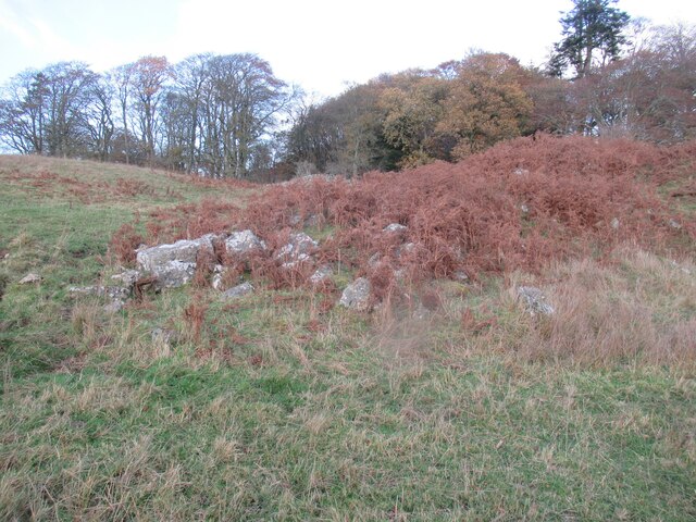
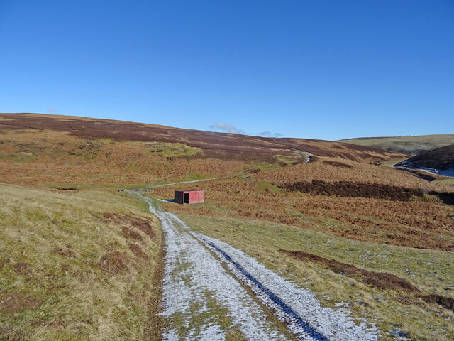
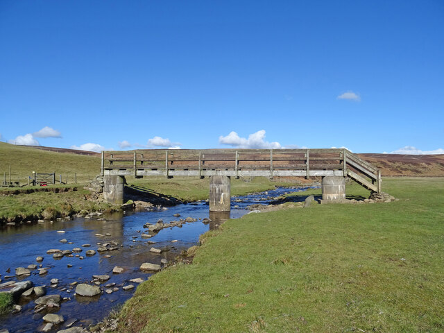
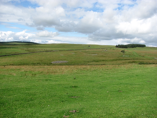
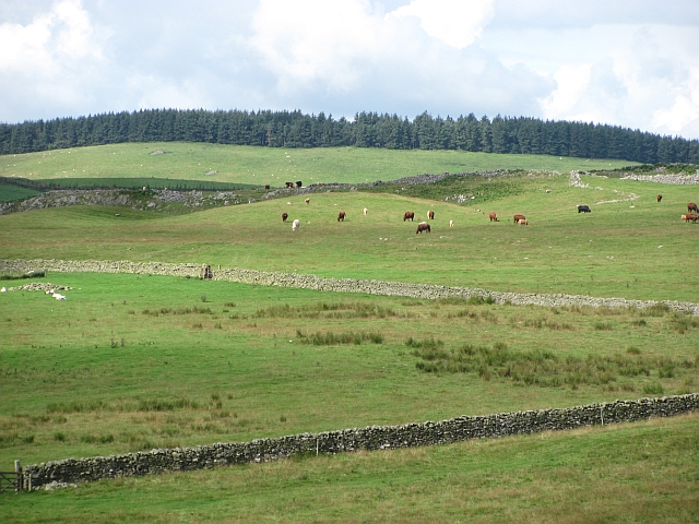
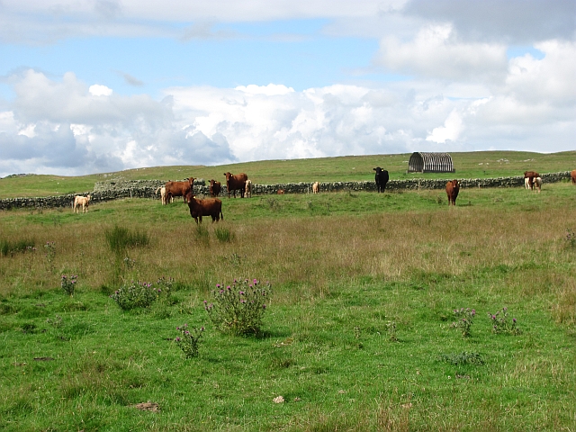
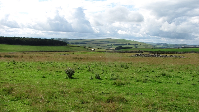
Back Braes Wood Images

Images are sourced within 2km of 55.73921/-2.6682335 or Grid Reference NT5849. Thanks to Geograph Open Source API. All images are credited.

Trees by the Brunta Burn Looking west over upland pasture.
Trees by the Brunta Burn
Looking west over upland pasture.
Woodland at Bruntaburn Looking across pasture, from the Cambridge to Raecleugh Road near Spottiswoode.
Woodland at Bruntaburn
Looking across pasture, from the Cambridge to Raecleugh Road near Spottiswoode.
Woodland at Bruntaburn Looking along the wall separating the Cambridge to Raecleugh Road from a pasture field.
Woodland at Bruntaburn
Looking along the wall separating the Cambridge to Raecleugh Road from a pasture field.
Cromwells near Pyatshaw in The Scottish Borders A hard rock sill which the Brunta Burn has either managed to punch through or otherwise obviate. The feature's continuation can be spotted on the far bank much obscured by the roots of mature trees.
Cromwells near Pyatshaw in The Scottish Borders
A hard rock sill which the Brunta Burn has either managed to punch through or otherwise obviate. The feature's continuation can be spotted on the far bank much obscured by the roots of mature trees.
'Bod Ban' laird of hereabouts who accompanied me throughout my visit drawing the line, however, at crossing the Brunta Burn
Tributary to Brunta Burn near Pyatshaw in The Scottish Borders
Field track west of Cromwells near Pyatshaw in The Scottish Borders
Mature oaks by Brunta Burn near Pyatshaw in The Scottish Borders Choosing to ignore human boundaries.
Mature oaks by Brunta Burn near Pyatshaw in The Scottish Borders
Choosing to ignore human boundaries.
Burnside approach to Cromwells near Pyatshaw in The Scottish Borders
Another view of Cromwells near Pyatshaw in The Scottish Borders
Track to 'Brunty' and moors beyond in The Lammermuirs
Loose blocks of bedrock at the western end of Cromwells near Pyatshaw
Red Sheep Shelter Looking north above the valley of the Blythe Water on a track leading to Braidshawrig is this red open doored shelter, presumably for the many sheep in these parts. These little buildings are in abundance in the southern Lammermuirs.
Red Sheep Shelter
Looking north above the valley of the Blythe Water on a track leading to Braidshawrig is this red open doored shelter, presumably for the many sheep in these parts. These little buildings are in abundance in the southern Lammermuirs.
Bridge over the Blythe Water Footbridge over the Blythe Water on the Southern Upland Way on an early spring day.
Bridge over the Blythe Water
Footbridge over the Blythe Water on the Southern Upland Way on an early spring day.
Grazing, Blythe Grassland won from the moor through great effort, the piles of cleared stones are visible all over the picture. Blythe is a big cattle farm.
Grazing, Blythe
Grassland won from the moor through great effort, the piles of cleared stones are visible all over the picture. Blythe is a big cattle farm.
Hill fort and rocky ground This area is unusually rocky for the Lammermuir Hills. The stones have been put to use in building dykes, now backed up with electric fences. There are the remains of a hill fort on the spur in the middle of the picture.
Hill fort and rocky ground
This area is unusually rocky for the Lammermuir Hills. The stones have been put to use in building dykes, now backed up with electric fences. There are the remains of a hill fort on the spur in the middle of the picture.
Cattle, Blythe This part of the Lammermuir Hills is covered with grass rather than heather. The grazing supports a large herd of cattle.
Cattle, Blythe
This part of the Lammermuir Hills is covered with grass rather than heather. The grazing supports a large herd of cattle.
Roaring bull The Charolais bull was away from the cows and bellowing - he seemed to be interested in what was happening in the next field.
Roaring bull
The Charolais bull was away from the cows and bellowing - he seemed to be interested in what was happening in the next field.
Show me another place!

Back Braes Wood is located at Grid Ref: NT5849 (Lat: 55.73921, Lng: -2.6682335)

Unitary Authority: The Scottish Borders

Police Authority: The Lothians and Scottish Borders

What 3 Words

///stint.thrones.overjoyed. Near Lauder, Scottish Borders

Related Wikis

Boon Farm

Boon is a farm and former barony located near Lauder, Scotland. == History == === Name origins === Boon (aka "Boune" or "Bounn"), derives from the Breton...

Thirlestane Castle

Thirlestane Castle is a castle set in extensive parklands near Lauder in the Borders of Scotland. The site is aptly named Castle Hill, as it stands upon...

Lauderdale

Lauderdale is the valley of the Leader Water (a tributary of the Tweed) in the Scottish Borders. It contains the town of Lauder, as well as Earlston. The...

Westruther

Westruther is a village on the B6465, in the Scottish Borders area of Scotland, on the lower slopes of the Lammermuir Hills, in the former Berwickshire...

Nearby Amenities

Located within 500m of 55.73921,-2.6682335
Barrier: cattle_grid
Lat/Long: 55.7424822/-2.6659025
Noexit: yes
Lat/Long: 55.7402103/-2.6637742
Noexit: yes
Lat/Long: 55.7401346/-2.6639747
Power: pole
Lat/Long: 55.7377785/-2.6611037
Power: pole
Lat/Long: 55.7376281/-2.6626512
Power: pole
Lat/Long: 55.7375636/-2.6637303
Power: pole
Lat/Long: 55.7383015/-2.661768
Power: pole
Lat/Long: 55.7384405/-2.6612234
Power: pole
Lat/Long: 55.7385394/-2.6608136
Power: pole
Lat/Long: 55.738601/-2.6604598
The data included in this document is from www.openstreetmap.org. The data is made available under ODbL.

Have you been to Back Braes Wood?

Leave your review of Back Braes Wood below (or comments, questions and feedback).