Strone Wood
Wood, Forest in Aberdeenshire
Scotland
Strone Wood

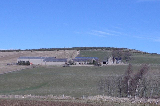
Strone Wood is a picturesque forest located in Aberdeenshire, Scotland. Spanning approximately 150 acres, this enchanting woodland is nestled amidst the stunning landscape of the Grampian Mountains. The forest is easily accessible, situated just a short distance from the village of Strachan.
Strone Wood is renowned for its diverse range of tree species, including majestic oak, beech, and birch trees that blanket the forest floor. These ancient trees provide a dense canopy, creating a serene and peaceful atmosphere within the woodland. The forest is also home to vibrant flora, with bluebells and wildflowers carpeting the forest floor during the spring and summer months.
Exploring Strone Wood offers a range of activities for nature enthusiasts and outdoor lovers. The forest boasts a network of well-maintained trails, inviting visitors to wander through its enchanting landscape. These paths cater to different skill levels, from leisurely strolls to more challenging hikes, ensuring there is something for everyone.
The forest is also a haven for wildlife, providing a habitat for a variety of species. Birdwatchers can delight in the opportunity to spot woodpeckers, owls, and various other feathered creatures. Deer are also frequently seen roaming through the woodland, adding to the charm and natural beauty of the area.
Strone Wood is a popular destination for families, offering picnic areas and designated spots for barbecues. There are also several play areas for children to enjoy, making it an ideal location for a day out in nature.
In summary, Strone Wood is a captivating forest in Aberdeenshire, Scotland, offering visitors a chance to immerse themselves in the tranquility of nature. With its diverse range of tree species, well-maintained trails, and abundant wildlife, it is a must-visit destination for anyone seeking solace in the great outdoors.
If you have any feedback on the listing, please let us know in the comments section below.
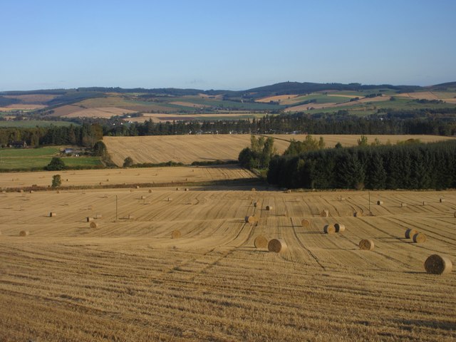
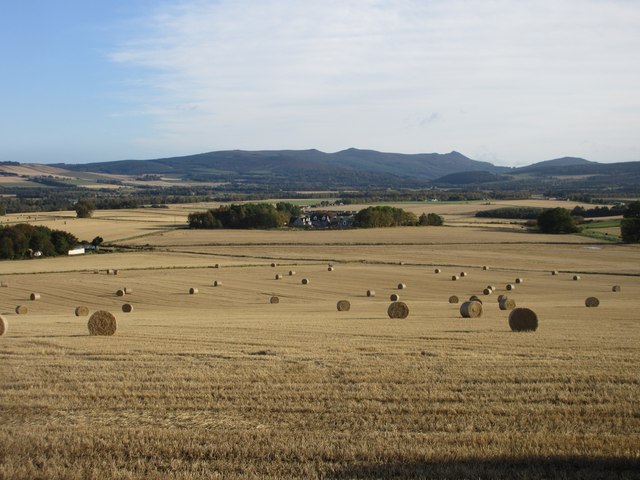
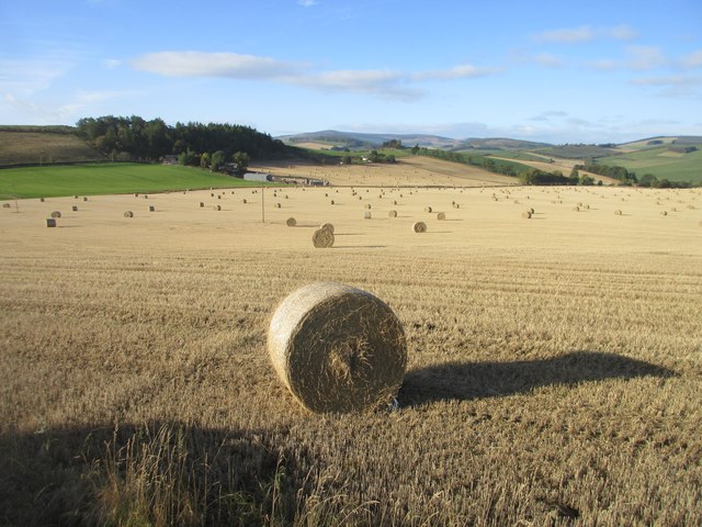
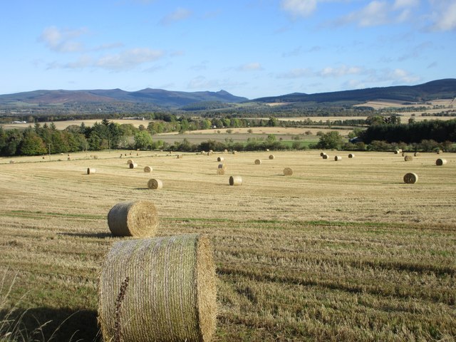
Strone Wood Images
Images are sourced within 2km of 57.213307/-2.6944246 or Grid Reference NJ5813. Thanks to Geograph Open Source API. All images are credited.


Strone Wood is located at Grid Ref: NJ5813 (Lat: 57.213307, Lng: -2.6944246)
Unitary Authority: Aberdeenshire
Police Authority: North East
What 3 Words
///decompose.unwind.postage. Near Alford, Aberdeenshire
Nearby Locations
Related Wikis

Balfluig Castle
Balfluig Castle is an L-plan tower house, dating from the mid-16th century, a mile south of Alford, in the Howe of Alford, Aberdeenshire, Scotland. The...
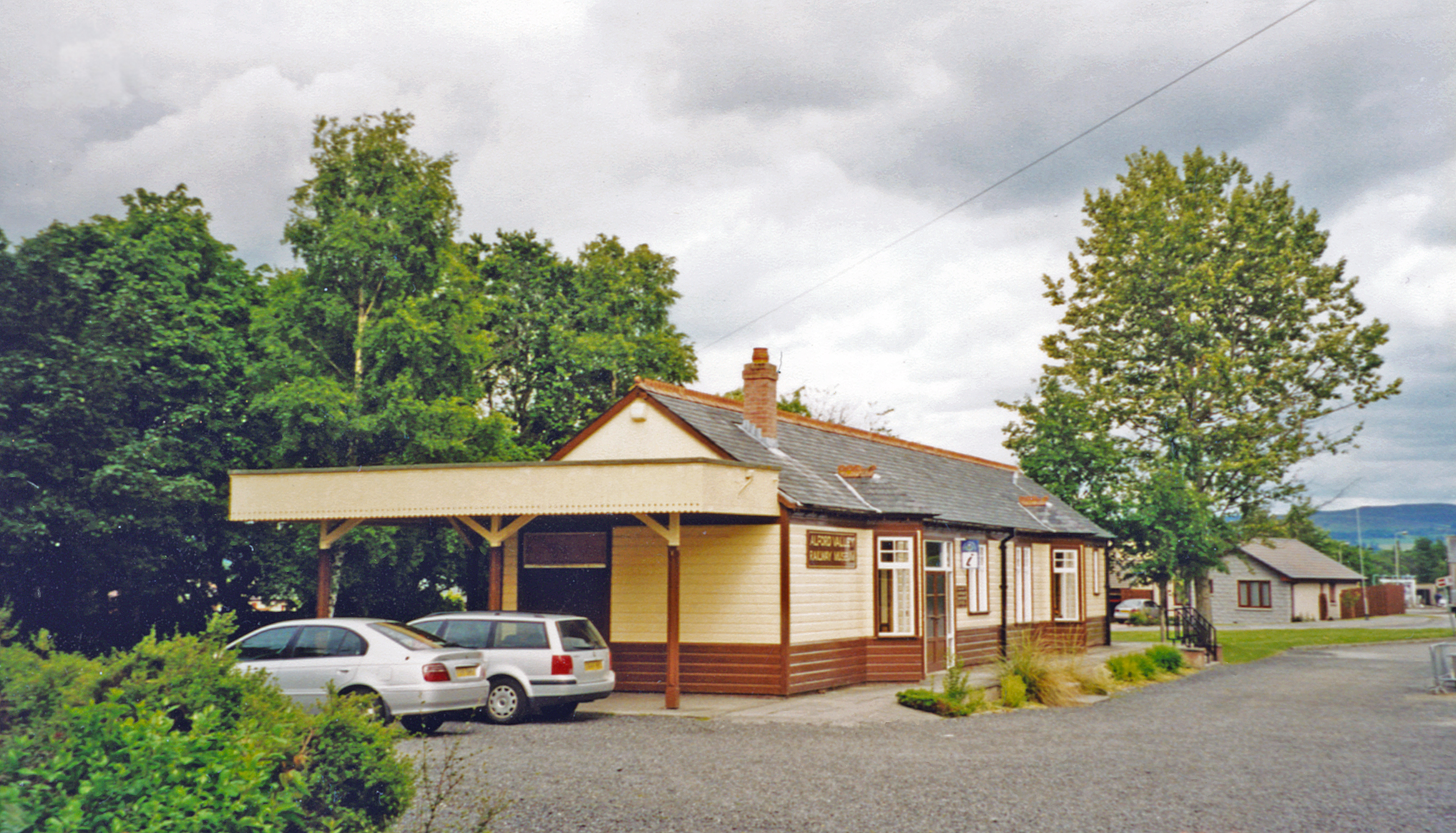
Alford railway station
Alford railway station is a former railway station in Alford, Aberdeenshire which now serves as a terminus for tourist narrow gauge railway, the Alford...
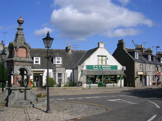
Alford, Aberdeenshire
Alford (pronounced Scots: Aaford or Awfort, Scottish Gaelic: Athfort) is a large village in Aberdeenshire, north-east Scotland, lying just south of...

Alford Valley Railway
The Alford Valley Railway is a 2 ft (610 mm) narrow gauge railway in the Howe of Alford, Aberdeenshire, Scotland. It is located at what used to be the...
Have you been to Strone Wood?
Leave your review of Strone Wood below (or comments, questions and feedback).