Garvard

Settlement in Argyllshire

Scotland

Garvard

The summit of Beinn Oronsay A substantial and well-built cairn for a hill only 93m high.  But Oronsay is a popular island to visit. It is tidal, and can be easily walked to from Colonsay except near low tide. There are the ruins of an Augustinian priory nearby. And the hill is low, and an easy walk!

Just left of the cairn is Beinn Eibhne on the mainland of Colonsay.
The summit of Beinn Oronsay Credit: Michael Earnshaw

Garvard is a small village located in the scenic region of Argyllshire, in the western part of Scotland. Situated amidst breathtaking landscapes, this tranquil village offers a peaceful retreat away from the hustle and bustle of city life.

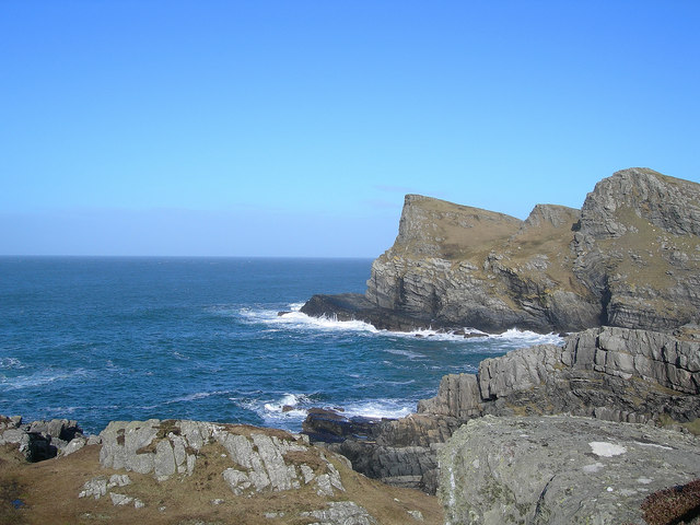
The village is nestled on the shores of Loch Fyne, one of Scotland's longest sea lochs, known for its stunning views and diverse marine life. Visitors to Garvard can indulge in a range of outdoor activities, including fishing, sailing, and kayaking, while enjoying the idyllic surroundings. The loch also offers opportunities for birdwatching, with a variety of seabirds and waders frequenting the area.

Garvard itself is a quaint village, with a small population that adds to its charm. The local community is warm and friendly, welcoming tourists and providing a glimpse into the traditional Scottish way of life. The village is known for its traditional stone cottages, which are typical of the region, and add to the picturesque atmosphere.

While the village is relatively secluded, it is within easy reach of nearby towns such as Inveraray and Tarbert, where visitors can explore historical landmarks, visit local shops and restaurants, or simply soak up the authentic Scottish culture.

In summary, Garvard presents an ideal destination for those seeking a peaceful retreat in the heart of Scotland's stunning natural beauty, offering a chance to immerse oneself in the tranquility of Loch Fyne and experience the warm hospitality of the local community.

If you have any feedback on the listing, please let us know in the comments section below.
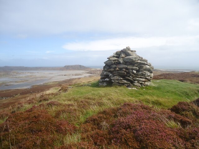
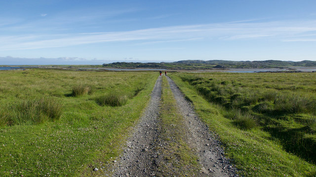
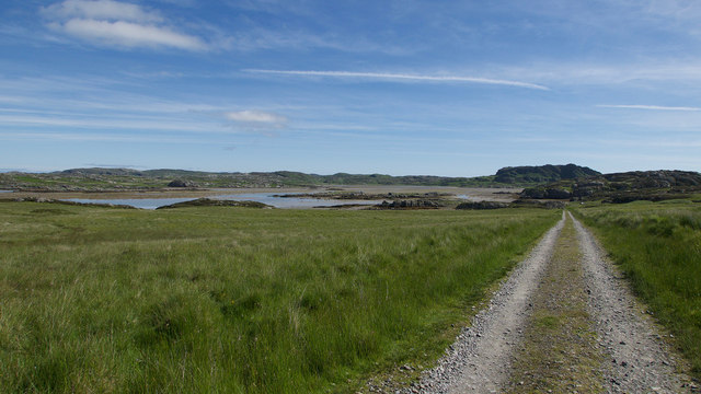
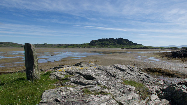
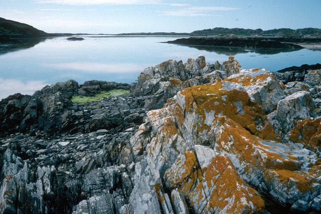
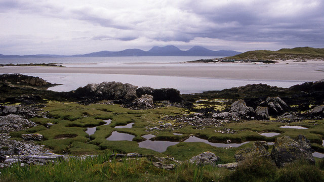
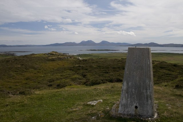
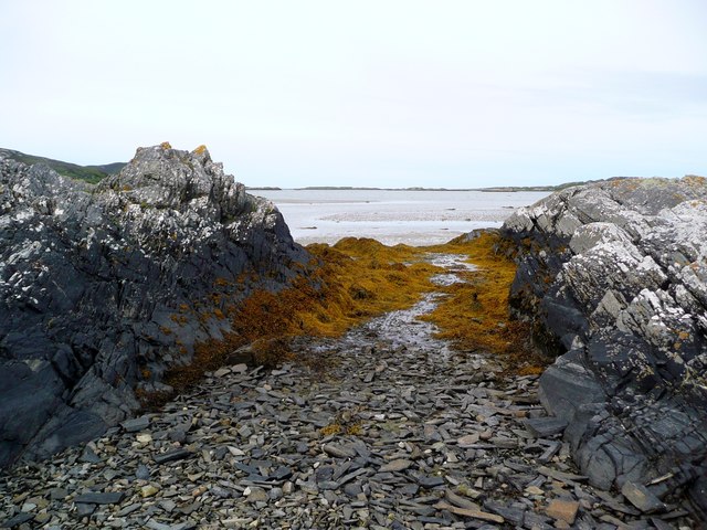
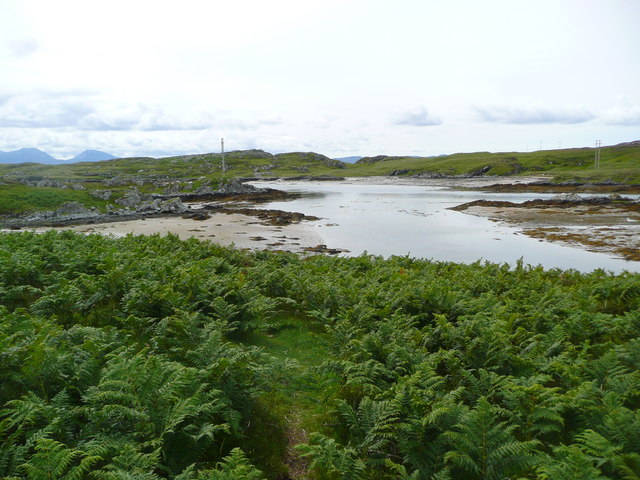
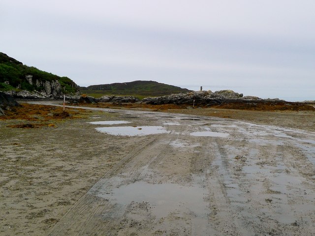
Garvard Images

Images are sourced within 2km of 56.038874/-6.240117 or Grid Reference NR3691. Thanks to Geograph Open Source API. All images are credited.
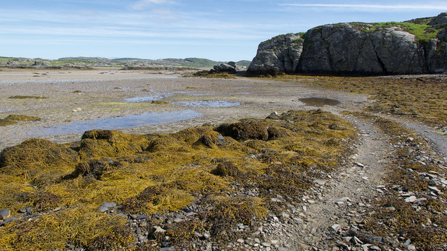
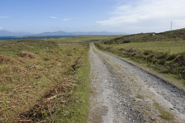
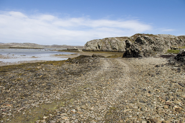
The summit of Beinn Oronsay A substantial and well-built cairn for a hill only 93m high.  But Oronsay is a popular island to visit. It is tidal, and can be easily walked to from Colonsay except near low tide. There are the ruins of an Augustinian priory nearby. And the hill is low, and an easy walk!

Just left of the cairn is Beinn Eibhne on the mainland of Colonsay.
The summit of Beinn Oronsay
A substantial and well-built cairn for a hill only 93m high. But Oronsay is a popular island to visit. It is tidal, and can be easily walked to from Colonsay except near low tide. There are the ruins of an Augustinian priory nearby. And the hill is low, and an easy walk! Just left of the cairn is Beinn Eibhne on the mainland of Colonsay.
Track to Oronsay Priory An excellent track connects the farmland of Oronsay with the tidal route across the Strand.
Track to Oronsay Priory
An excellent track connects the farmland of Oronsay with the tidal route across the Strand.
Descent to the Strand A straight evenly falling path back to sea level.
Descent to the Strand
A straight evenly falling path back to sea level.
Land Rover track by the Strand, Oronsay Having crossed the Strand, the track hugs the coast before heading inland.
Land Rover track by the Strand, Oronsay
Having crossed the Strand, the track hugs the coast before heading inland.
Landfall markers for the Strand crossing, Oronsay An older standing stone on a prominent hillock and a newer marker at sea level show where the best route for crossing the Strand makes landfall.
Landfall markers for the Strand crossing, Oronsay
An older standing stone on a prominent hillock and a newer marker at sea level show where the best route for crossing the Strand makes landfall.
The Strand between Colonsay and Oronsay After low tide the Strand fills with water and the oysters are happy while those on Oronsay must await the next low water to cross back to the shop or their ferry.  Yellow lichens are a feature of Colonsay.
The Strand between Colonsay and Oronsay
After low tide the Strand fills with water and the oysters are happy while those on Oronsay must await the next low water to cross back to the shop or their ferry. Yellow lichens are a feature of Colonsay.
The East end of the Strand The Strand is the area of tidal sands separating Colonsay and Oronsay.
Looking SE from Rubha Bagh nan Capull, Colonsay. The sand dunes on the right are Rubha Ban, Oronsay.
Jura is in the distance.
The East end of the Strand
The Strand is the area of tidal sands separating Colonsay and Oronsay. Looking SE from Rubha Bagh nan Capull, Colonsay. The sand dunes on the right are Rubha Ban, Oronsay. Jura is in the distance.
Road to Oronsay Priory
Oyster Farm on Rubha Bagh nan Capull It looks disused but all the machinery was well oiled and covered up.
Oyster Farm on Rubha Bagh nan Capull
It looks disused but all the machinery was well oiled and covered up.
The Colonsay to Oronsay Road
Tidal road, Oronsay The post on the right acts as a marker for those heading from Colonsay to Oronsay. The photographer couldn't wait for the tide, so paddled across.
Tidal road, Oronsay
The post on the right acts as a marker for those heading from Colonsay to Oronsay. The photographer couldn't wait for the tide, so paddled across.
The Oronsay road Clear track through the seaweed on the Oronsay side of the Strand. Most vehicles [of which there are very few] seem to take the alternative route to the right.
The Oronsay road
Clear track through the seaweed on the Oronsay side of the Strand. Most vehicles [of which there are very few] seem to take the alternative route to the right.
On firm ground Hard surfaced track on Oronsay, looking back towards the tidal sands and Colonsay.
On firm ground
Hard surfaced track on Oronsay, looking back towards the tidal sands and Colonsay.
Oronsay - the north side Rough grassland sloping gently down to the tidal channel separating Oronsay from Colonsay. The Ardkenish peninsula beyond.
Oronsay - the north side
Rough grassland sloping gently down to the tidal channel separating Oronsay from Colonsay. The Ardkenish peninsula beyond.
Trigpoint, Beinn Oronsay Looking across to the Paps of Jura.
Trigpoint, Beinn Oronsay
Looking across to the Paps of Jura.
Tidal rocks at Rubha Bagh nan Capull The strand beyond, just drying about a couple of hours before low tide.  Having arrived a little early for the crossing to Oronsay from Colonsay, we waited here for the sands to dry and permit us across - but we still got wet feet!
Tidal rocks at Rubha Bagh nan Capull
The strand beyond, just drying about a couple of hours before low tide. Having arrived a little early for the crossing to Oronsay from Colonsay, we waited here for the sands to dry and permit us across - but we still got wet feet!
Bagh nan Capull Looking over to Oronsay.
Bagh nan Capull
Looking over to Oronsay.
Leaving The Strand for Oronsay The end of the route over The Strand.  Here it is well marked by vehicle tracks as a wedding procession of cars and tractors have just carried a wedding party across for the ceremony at the Priory ruins.
Leaving The Strand for Oronsay
The end of the route over The Strand. Here it is well marked by vehicle tracks as a wedding procession of cars and tractors have just carried a wedding party across for the ceremony at the Priory ruins.
Show me another place!

Garvard is located at Grid Ref: NR3691 (Lat: 56.038874, Lng: -6.240117)

Unitary Authority: Argyll and Bute

Police Authority: Argyll and West Dunbartonshire

What 3 Words

///filled.shuffle.baker. Near Scalasaig, Argyll & Bute

Nearby Locations

Cnoc Eibrigin Garvard

Related Wikis

Ardskenish

Ardskenish is a hamlet on the island of Colonsay, in the civil parish of Colonsay and Oronsay, in the council area of Argyll and Bute, Scotland. ��2�...

Dùn Cholla

Dùn Cholla is a hill fort located on the Inner Hebridean island of Colonsay, Scotland. The site is located at grid reference NR37759150.According to tradition...

Colonsay Airport

Colonsay Airport (Scottish Gaelic: Port-adhair Colbhasaigh) (IATA: CSA, ICAO: EGEY) is located on the island of Colonsay, Argyll and Bute, Scotland. Located...

Dùn Galláin

Dùn Galláin (English: Fort of the Strangers) is a promontory fort located on the Inner Hebridean island of Colonsay, Scotland. The site is located at grid...

Oronsay, Colonsay

Oronsay (Scottish Gaelic: Orasaigh), also sometimes spelt and pronounced Oransay by the local community, is a small tidal island south of Colonsay in the...

Oronsay Priory

Oronsay Priory was a monastery of canons regular on the island of Oronsay, Inner Hebrides, Argyll, off the coast of Scotland. It was in existence by 1353...

Colonsay Group

The Colonsay Group is an estimated 5,000 m thick sequence of mildly metamorphosed Neoproterozoic sedimentary rocks that outcrop on the islands of Colonsay...

Colonsay

Colonsay (; Scottish Gaelic: Colbhasa; Scots: Colonsay) is an island in the Inner Hebrides of Scotland, located north of Islay and south of Mull. The ancestral...

Nearby Amenities

Located within 500m of 56.038874,-6.240117
Power: pole
Lat/Long: 56.0425756/-6.2364904
Power: pole
Lat/Long: 56.0430794/-6.2395374
Power: pole
Lat/Long: 56.0428481/-6.2381386
Ford: yes
Lat/Long: 56.0423231/-6.2398403
The data included in this document is from www.openstreetmap.org. The data is made available under ODbL.

Have you been to Garvard?

Leave your review of Garvard below (or comments, questions and feedback).