Ness of Brough
Coastal Feature, Headland, Point in Shetland
Scotland
Ness of Brough
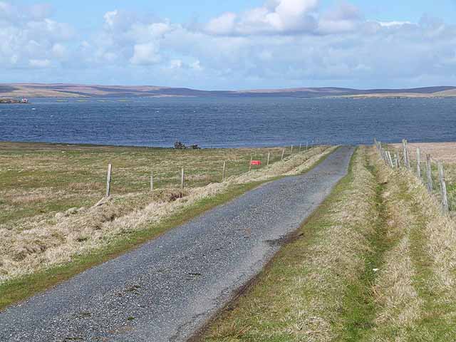
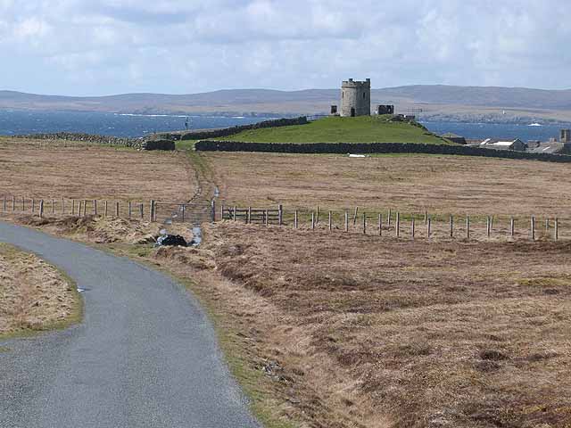
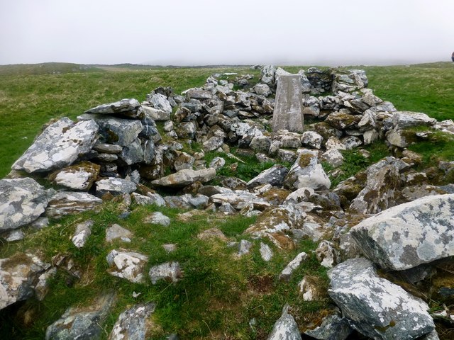
Ness of Brough is a prominent coastal feature located in the Shetland Islands, off the northeast coast of Scotland. This headland is situated on the western side of the island of Unst, the northernmost inhabited island in the British Isles.
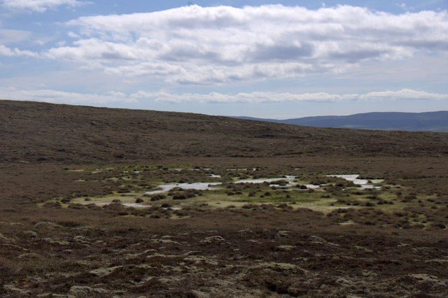
Rising to an elevation of approximately 30 meters (98 feet), Ness of Brough offers breathtaking views of the surrounding North Sea. Its strategic position on the island provides a vantage point for observing nearby cliffs, rugged offshore rocks, and the vast expanse of the ocean.
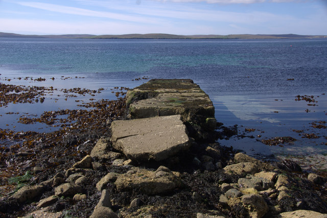
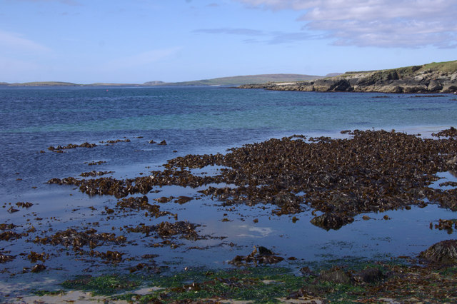
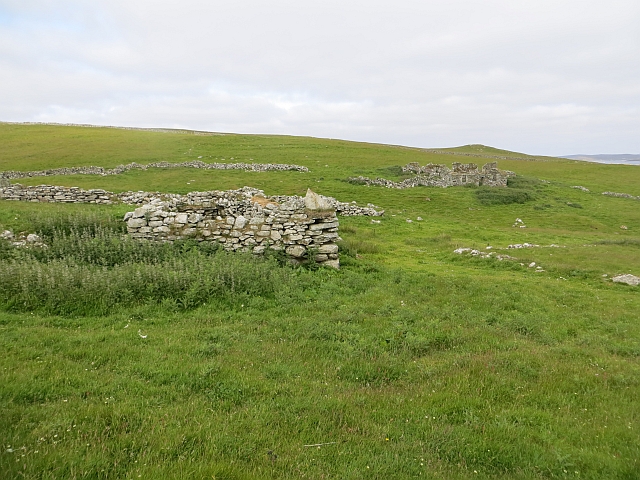
The headland is characterized by its steep and rocky cliffs, which have been shaped by the relentless forces of wind and waves over thousands of years. These cliffs are composed of sedimentary rocks, such as sandstone and shale, which display striking layers and patterns.
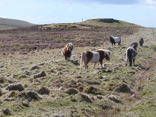
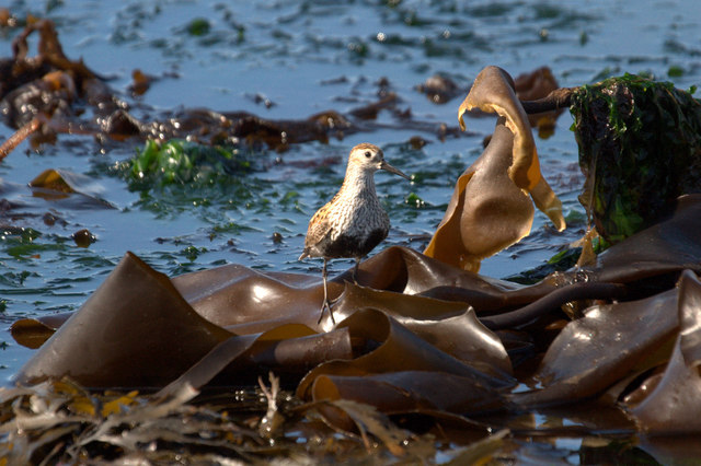
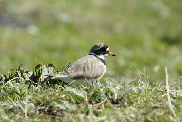
Ness of Brough offers a habitat for a variety of seabird species, including gannets, puffins, and fulmars. The surrounding waters are also home to seals and other marine wildlife.
Visitors to Ness of Brough can enjoy a walk along the coastline, taking in the awe-inspiring natural beauty and the sound of crashing waves. The headland is accessible by a footpath that leads from the nearby village of Haroldswick, providing a convenient starting point for exploration.
Overall, Ness of Brough is a captivating coastal feature that showcases the raw power of nature and offers visitors a chance to connect with the stunning landscapes of the Shetland Islands.
If you have any feedback on the listing, please let us know in the comments section below.
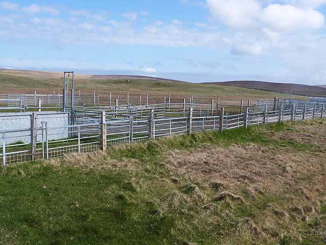
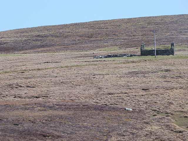
Ness of Brough Images
Images are sourced within 2km of 60.611945/-0.94623807 or Grid Reference HU5792. Thanks to Geograph Open Source API. All images are credited.
Ness of Brough is located at Grid Ref: HU5792 (Lat: 60.611945, Lng: -0.94623807)
Unitary Authority: Shetland Islands
Police Authority: Highlands and Islands
What 3 Words
///grin.ooze.braced. Near Houbie, Shetland Islands
Nearby Locations
Related Wikis

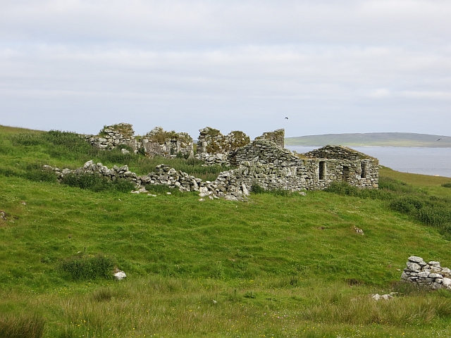
Brough Lodge
Brough Lodge is a 19th-century Gothic mansion on Fetlar, one of the Shetland Islands, in northern Scotland. Built by the Nicolson family, who were responsible...

Hascosay
Hascosay (Scots: Hascosay; Old Norse "Hafskotsey") is a small island lying between Yell and Fetlar in the Shetland Islands, Scotland. == Geography and... ==

Hamars Ness
Hamars Ness is a headland on the island of Fetlar in Shetland, Scotland. The name is from the Old Norse Hamarsnes meaning "craggy headland". A ro-ro ferry...

Urie Lingey
For other islands with similar names, see Linga (disambiguation) Urie Lingey is one of the Shetland Islands. It is between Fetlar and Unst, and Yell is...

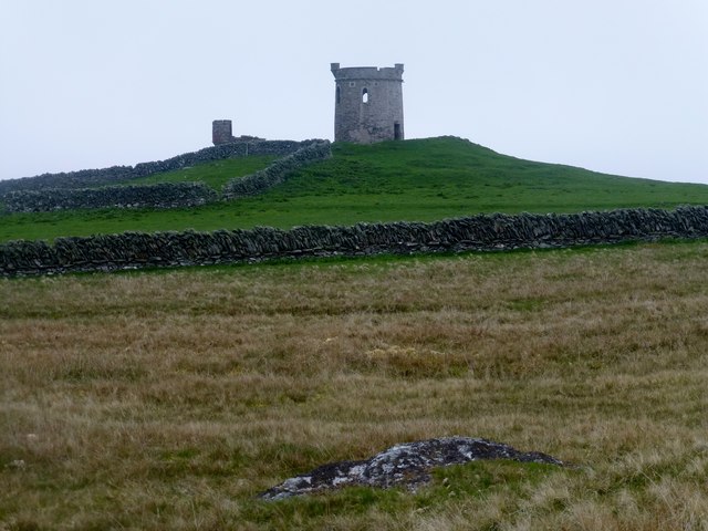
Burra Ness Broch
Burra Ness Broch is an iron-age broch located on the east coast of the island of Yell, Shetland, Scotland. == Location == Burra Ness Broch (grid reference...

Sound Gruney
For other islands with similar names, see Gruney (disambiguation) Sound Gruney is one of the Shetland islands. It lies about 1.5 kilometres (0.93 mi)...

Fetlar
Fetlar (Scots: Fetlar) is one of the North Isles of Shetland, Scotland, with a usually resident population of 61 at the time of the 2011 census. Its main...

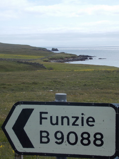
Funzie Girt
Funzie Girt (; Scots: Funyie Girt "Finns' dyke") is an ancient dividing wall that was erected from north to south across the island of Fetlar in Shetland...
Nearby Amenities
Located within 500m of 60.611945,-0.94623807Have you been to Ness of Brough?
Leave your review of Ness of Brough below (or comments, questions and feedback).