Greff
Coastal Feature, Headland, Point in Shetland
Scotland
Greff
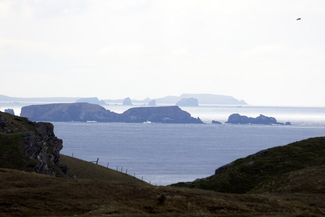
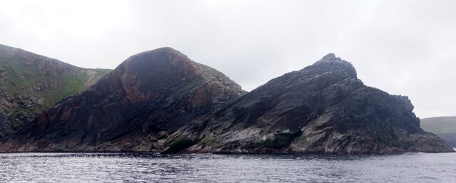
Greff is a prominent coastal feature located in the Shetland Islands, off the northern coast of Scotland. This headland, also known as Greff Ness, is situated on the eastern edge of the island of Yell. It is a rugged and rocky point that juts out into the North Sea, offering breathtaking views of the surrounding landscape.
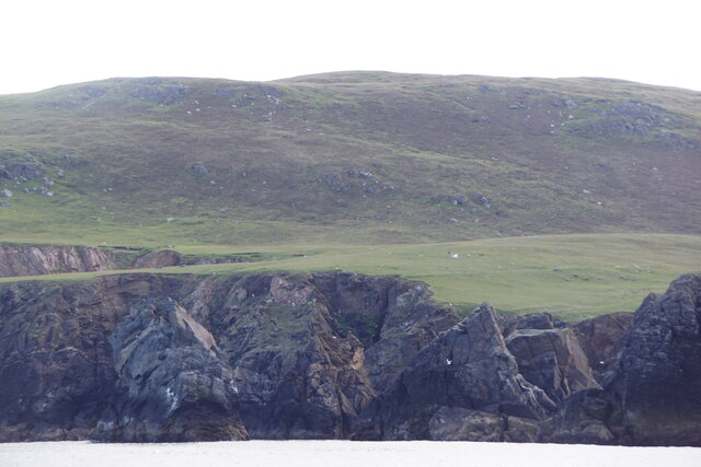
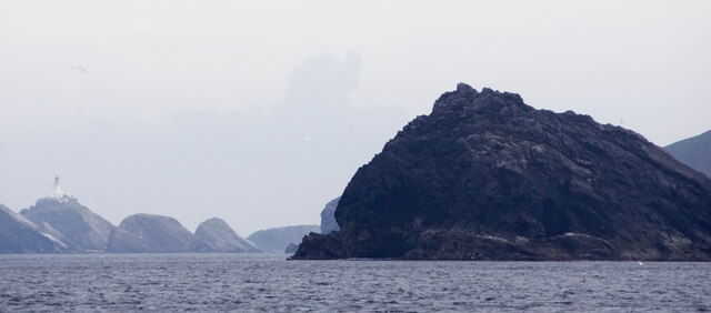
Greff is characterized by its sheer cliffs, which rise dramatically from the sea to a height of approximately 80 meters (262 feet). These cliffs are composed of layers of sedimentary rock, displaying the geological history of the area. The headland is also adorned with unique rock formations, including sea stacks and caves, which are a result of years of erosion by the relentless waves.
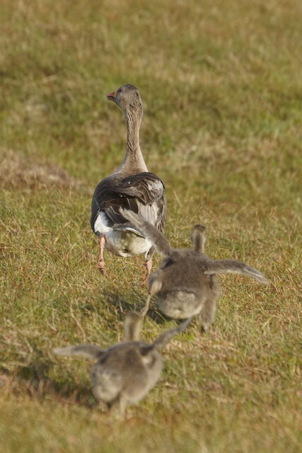
The coastal area surrounding Greff is teeming with diverse marine life, making it a popular spot for birdwatchers and wildlife enthusiasts. Visitors may catch sight of various seabirds, such as puffins, guillemots, and fulmars, nesting on the cliffs. The waters around the headland are home to seals, dolphins, and even occasional sightings of whales.
Due to its exposed location, Greff can experience harsh weather conditions, with strong winds and rough seas being common. However, this wild and untamed environment only adds to the allure of the area, attracting adventurous explorers and photographers looking to capture the beauty of the rugged Scottish coastline.
Greff is easily accessible by road, with a nearby car park providing convenient access to the headland. There are also walking trails in the area, allowing visitors to explore the stunning coastal scenery on foot.
If you have any feedback on the listing, please let us know in the comments section below.
Greff Images
Images are sourced within 2km of 60.800391/-0.94255211 or Grid Reference HP5713. Thanks to Geograph Open Source API. All images are credited.


Greff is located at Grid Ref: HP5713 (Lat: 60.800391, Lng: -0.94255211)
Unitary Authority: Shetland Islands
Police Authority: Highlands and Islands
What 3 Words
///blip.levels.blanket. Near Haroldswick, Shetland Islands
Nearby Locations
Related Wikis

Burrafirth
Burrafirth links (Old Norse: Borgarfjorðr, meaning "the fjord with a castle") is a strip of land with a few houses on the island of Unst, Shetland, Scotland...

Hermaness
Hermaness is the northernmost headland of Unst, the most northerly inhabited island of Shetland, Scotland. It consists of huge sea cliffs and moorland...

Haroldswick
Haroldswick or Harold's Wick (Old Norse: Haraldsvík, 'Harald's bay'), is on Unst, Shetland Islands, Scotland, and is one of the most northerly settlements...

RAF Saxa Vord
Remote Radar Head Saxa Vord or RRH Saxa Vord (aka RAF Saxa Vord), is a Royal Air Force radar station located on the island of Unst, the most northern of...

Unst
Unst (; Scots: Unst; Norn: Ønst) is one of the North Isles of the Shetland Islands, Scotland. It is the northernmost of the inhabited British Isles and...

1992 New Year's Day Storm
The New Year's Day Storm (Norwegian: Nyttårsorkanen), known in Scotland as the 'Hogmanay Hurricane', was an intense European windstorm that affected much...

Baltasound
Baltasound (or Baltasund) is the largest settlement on the island of Unst in Shetland, Scotland. It comes from the Old Norse man's name Balti (Baltisund...

Valhalla Brewery
The Valhalla Brewery in Unst, Shetland, Scotland, was the northernmost brewery in the United Kingdom. It was opened by the husband and wife team Sonny...
Have you been to Greff?
Leave your review of Greff below (or comments, questions and feedback).