Grut Ness

Coastal Feature, Headland, Point in Shetland

Scotland

Grut Ness

East Loch of Skaw, Whalsay An airstrip, now almost never used, is just to the right of this photo.
East Loch of Skaw, Whalsay Credit: David Purchase

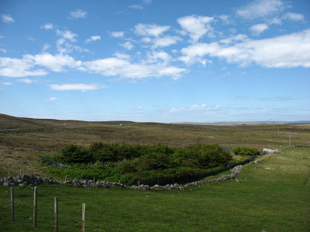
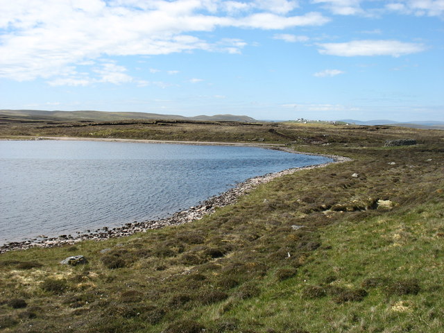
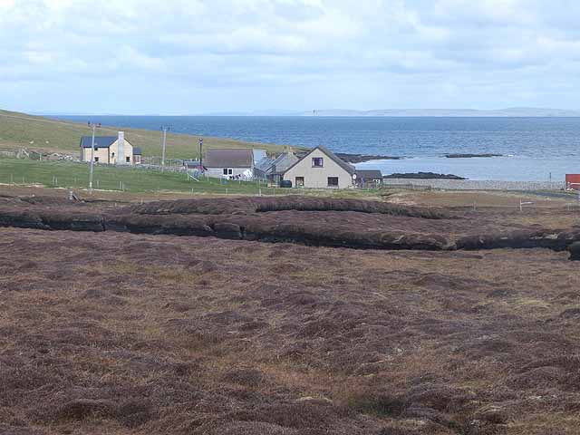
Grut Ness is a prominent coastal feature located in the Shetland Islands, an archipelago in Scotland. It is a headland that juts out into the North Sea, forming a distinctive point on the eastern coast of the mainland. Grut Ness is situated in the southern part of the Shetland Islands, near the town of Lerwick.

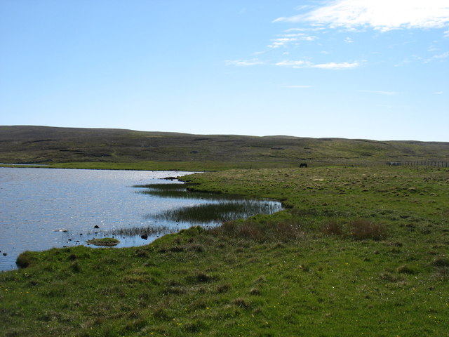
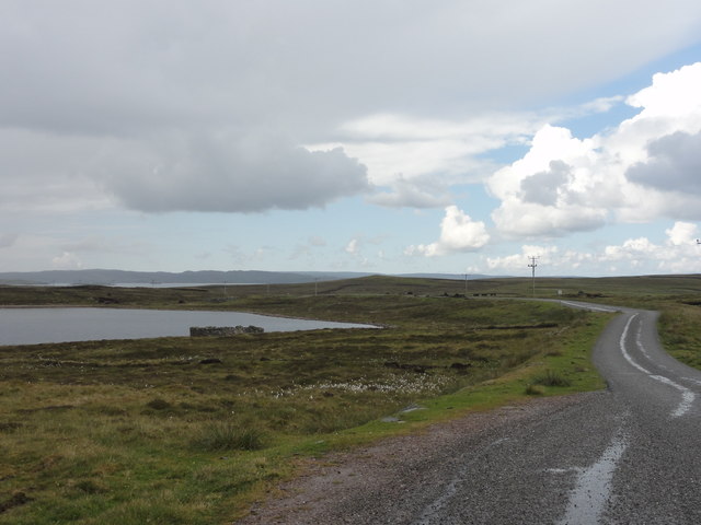
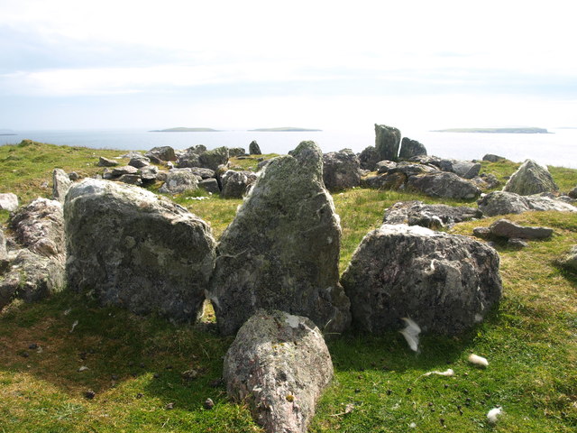
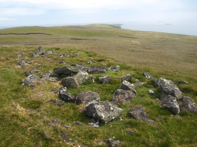
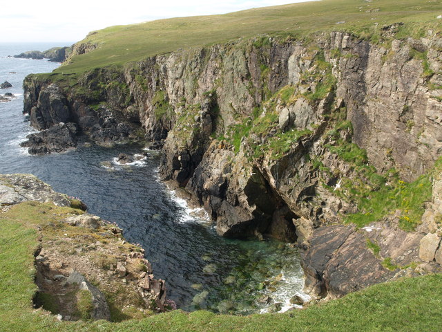
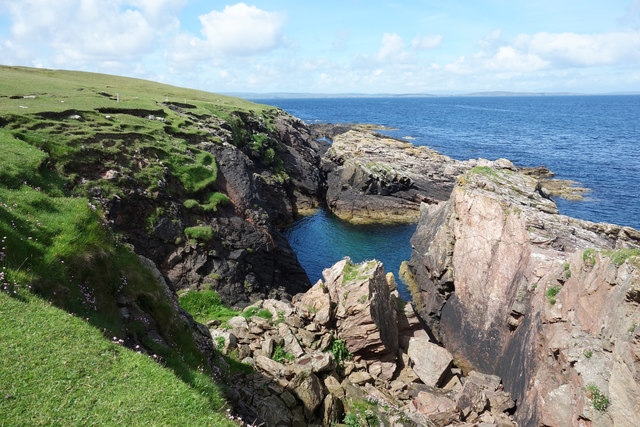
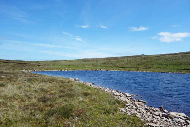
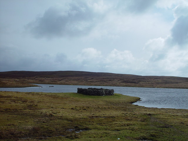
This headland is characterized by its rugged and rocky terrain, with steep cliffs that rise dramatically from the sea. The cliffs, made of sedimentary rock, show layers of different geological formations, providing a glimpse into the region's geological history. Grut Ness is known for its striking views, offering visitors a panoramic vista of the surrounding ocean and the nearby islands.

The area surrounding Grut Ness is rich in biodiversity, with various seabird colonies inhabiting the cliffs. Species such as puffins, guillemots, and razorbills can be seen nesting in the crevices. The coastal waters around the headland are also home to a diverse range of marine life, including seals, dolphins, and various species of fish.

Grut Ness is a popular spot for outdoor activities such as hiking and birdwatching. The headland is accessible via a coastal path that offers stunning vistas and opportunities to observe wildlife. The site is also of historical significance, as archaeological remains have been discovered in the area, including Iron Age settlements and Viking artifacts.

Overall, Grut Ness is a captivating coastal feature in the Shetland Islands, boasting breathtaking views, diverse wildlife, and a rich historical heritage. It serves as a testament to the region's natural beauty and cultural significance.

If you have any feedback on the listing, please let us know in the comments section below.

Grut Ness Images

Images are sourced within 2km of 60.379643/-0.95256918 or Grid Reference HU5766. Thanks to Geograph Open Source API. All images are credited.

East Loch of Skaw, Whalsay An airstrip, now almost never used, is just to the right of this photo.
East Loch of Skaw, Whalsay
An airstrip, now almost never used, is just to the right of this photo.
Whalsay Golf Club Britain's most northerly Golf Club. It looked like the sort of course where you wouldn't have to book tee times, or hang around behind hundreds of slow players!

I have seen a reference to a golf course (though perhaps not a Club) in the north of Unst, but in 2016 I could find no trace of it.
Whalsay Golf Club
Britain's most northerly Golf Club. It looked like the sort of course where you wouldn't have to book tee times, or hang around behind hundreds of slow players! I have seen a reference to a golf course (though perhaps not a Club) in the north of Unst, but in 2016 I could find no trace of it.
Country near Skaw, Whalsay The foreground is, perhaps, not very interesting. But this gave me my best view on my trip of the Out Skerries (<a href="https://www.geograph.org.uk/gridref/HU6871">HU6871</a> and nearby squares), which I did not manage to visit.
Country near Skaw, Whalsay
The foreground is, perhaps, not very interesting. But this gave me my best view on my trip of the Out Skerries (HU6871 and nearby squares), which I did not manage to visit.
Country near Skaw, Whalsay
West Loch of Skaw, Whalsay
Loch Vats-houll, Whalsay
The west shore of Loch Vats-houll, Whalsay
Whalsay Airstrip The airstrip on Whalsay
Whalsay Airstrip
The airstrip on Whalsay
West Loch of Skaw West Loch of Skaw on Whalsay
West Loch of Skaw
West Loch of Skaw on Whalsay
Standing Stones of Yoxie Standing Stones of Yoxie, Pettigarths Fields, Mid Breck, Whalsay.
Standing Stones of Yoxie
Standing Stones of Yoxie, Pettigarths Fields, Mid Breck, Whalsay.
Chambered Cairn Chambered Cairn & Cyst (north end), Pettigarths Field, Mid Breck, Whalsay.
Skaw (Taing) in the distance.
Chambered Cairn
Chambered Cairn & Cyst (north end), Pettigarths Field, Mid Breck, Whalsay. Skaw (Taing) in the distance.
Boat House Boat House at Skaw, Whalsay.
Boat House
Boat House at Skaw, Whalsay.
Golf Course Hole 17 of Whalsay Golf Course
Golf Course
Hole 17 of Whalsay Golf Course
Yoxie Geo Cliffs Cliffs on the east side of Whalsay, near the Standing Stones of Yoxie.
Yoxie Geo Cliffs
Cliffs on the east side of Whalsay, near the Standing Stones of Yoxie.
Lost Ball on the Golf Course I don't play golf, but I would guess this is quite a tricky course. Rocks and sea on three sides, numerous pools and boggy bits, muddy ditches like here, and a ruined house in the middle of it all.
These guys were from the Netherlands. I taught them "Oyster Catcher" because they asked what the English name was. It's "Scholekster" in Dutch, by the way.
Lost Ball on the Golf Course
I don't play golf, but I would guess this is quite a tricky course. Rocks and sea on three sides, numerous pools and boggy bits, muddy ditches like here, and a ruined house in the middle of it all. These guys were from the Netherlands. I taught them "Oyster Catcher" because they asked what the English name was. It's "Scholekster" in Dutch, by the way.
Ruined House on the Golf Course There can't be many golf courses with one of these in the middle.
Ruined House on the Golf Course
There can't be many golf courses with one of these in the middle.
Cross Geo One of several along here.
Cross Geo
One of several along here.
West Loch of Skaw We had a picnic on the shore here. Very pleasant. Shetland's lack of midges should be made a lot more of by the tourist people.
West Loch of Skaw
We had a picnic on the shore here. Very pleasant. Shetland's lack of midges should be made a lot more of by the tourist people.
Show me another place!

Grut Ness is located at Grid Ref: HU5766 (Lat: 60.379643, Lng: -0.95256918)

Unitary Authority: Shetland Islands

Police Authority: Highlands and Islands

What 3 Words

///improves.argued.cuddled. Near Symbister, Shetland Islands

Related Wikis

Vaivoe

Vaivoe is a hamlet in the northwestern Whalsay in the parish of Nesting in the Shetland Islands of Scotland. It overlooks the bay of Vai Voe, just to the...

West Loch of Skaw

West Loch of Skaw is a loch of northern-central Whalsay, Shetland Islands, Scotland, to the southwest of the village of Skaw, Whalsay. == References ==

Vats-houll

Vats-houll is a settlement in northwestern Whalsay in the parish of Nesting in the Shetland islands of Scotland. The village overlooks the loch of the...

Skaw, Whalsay

Skaw is a village in the extreme northeast of Whalsay in the parish of Nesting in the Shetland Islands of Scotland. It is mainly a crofting area. Whalsay...

Whalsay Airstrip

Whalsay Airstrip is located at the village of Skaw in the northern end of the island of Whalsay, Shetland, Scotland. It is the only airfield serving the...

Pettigarths Field Cairns

The Pettigarths Field Cairns is a Neolithic site in the parish of Nesting, northeastern Whalsay, in the Shetland islands of Scotland. It is located approximately...

Benie Hoose

Benie Hoose, also Bunyie Hoose, is a Neolithic site in the parish of Nesting, northeastern Whalsay, in the Shetland Islands of Scotland. It is located...

Standing Stones of Yoxie

The Standing Stones of Yoxie is a Neolithic site in the parish of Nesting on the northeastern coast of Whalsay, in the Shetland islands of Scotland. It...

Nearby Amenities

Located within 500m of 60.379643,-0.95256918
Barrier: cattle_grid
Lat/Long: 60.3767513/-0.9571781
Passing Place
Lat/Long: 60.3756833/-0.9498194
Scad Skerry
Harbour: yes
Lat/Long: 60.3786946/-0.9524206
Vaivoe
Place: hamlet
Lat/Long: 60.3784372/-0.9581287
Power: pole
Lat/Long: 60.3759548/-0.9475006
Power: pole
Lat/Long: 60.3760526/-0.9488279
Power: pole
Lat/Long: 60.3761588/-0.9501608
Power: pole
Lat/Long: 60.3762649/-0.951516
Power: pole
Lat/Long: 60.3763627/-0.9528824
Power: pole
Lat/Long: 60.3764579/-0.9542432
Power: pole
Lat/Long: 60.3761905/-0.955657
Power: pole
Lat/Long: 60.3759327/-0.9569648
Power: pole
Lat/Long: 60.3769543/-0.9582422
Power: pole
Lat/Long: 60.3775614/-0.9581586
Power: pole
Lat/Long: 60.3781575/-0.9580639
The data included in this document is from www.openstreetmap.org. The data is made available under ODbL.

Have you been to Grut Ness?

Leave your review of Grut Ness below (or comments, questions and feedback).