Buda Taing
Coastal Feature, Headland, Point in Shetland
Scotland
Buda Taing
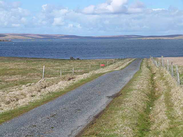
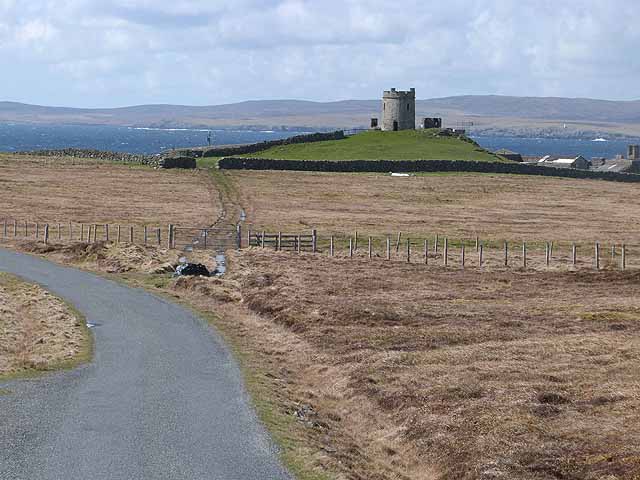
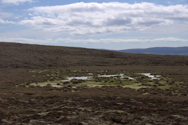
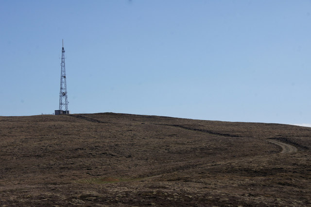
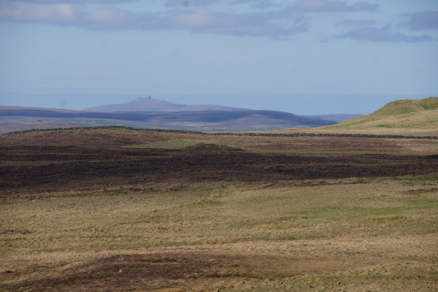
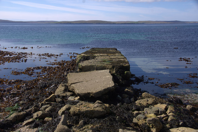
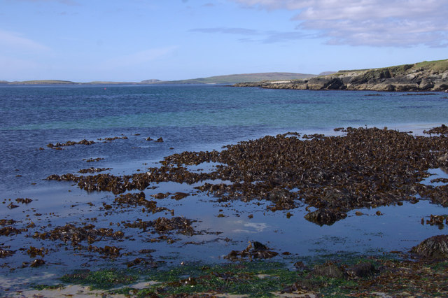
Buda Taing is a prominent coastal feature located in the Shetland Islands, Scotland. It is a headland or point that extends out into the North Sea, offering breathtaking views and unique geological formations. Situated on the western coast of Shetland, Buda Taing is known for its rugged cliffs, dramatic coastline, and diverse wildlife.
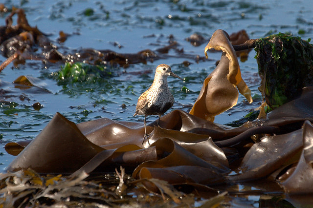
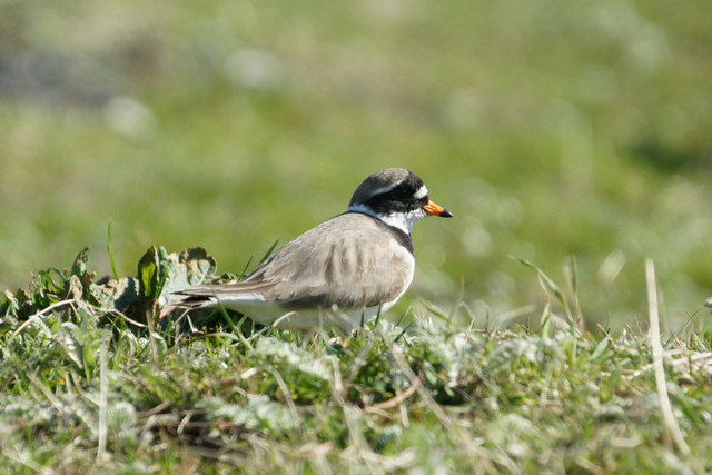
The headland is made up of a mixture of rock types, including sandstone and granite, which have been shaped by erosion over millions of years. The cliffs at Buda Taing rise to impressive heights, creating a stunning visual spectacle against the backdrop of the sea. These cliffs are also home to various bird species, including puffins, guillemots, and fulmars, making it a popular spot for birdwatching enthusiasts.
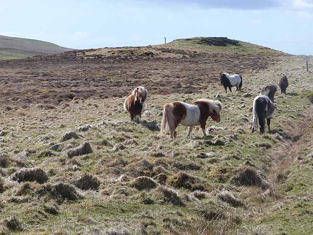
The coastal area surrounding Buda Taing is rich in marine life. Seals can often be spotted basking on the rocks, while dolphins and porpoises can be seen swimming in the waters offshore. The diverse ecosystems and abundance of marine life in this area make it a haven for nature lovers and wildlife photographers.
Buda Taing is easily accessible by both land and sea. Visitors can enjoy scenic walks along the coastal paths, taking in the breathtaking views and immersing themselves in the natural beauty of the area. The headland also offers opportunities for fishing and boating, allowing visitors to explore the surrounding waters and experience the tranquility of the North Sea.
Overall, Buda Taing is a captivating coastal feature in Shetland, with its rugged cliffs, diverse wildlife, and stunning views making it a must-visit destination for nature enthusiasts and those seeking a slice of Scotland's untamed coastline.
If you have any feedback on the listing, please let us know in the comments section below.
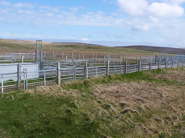
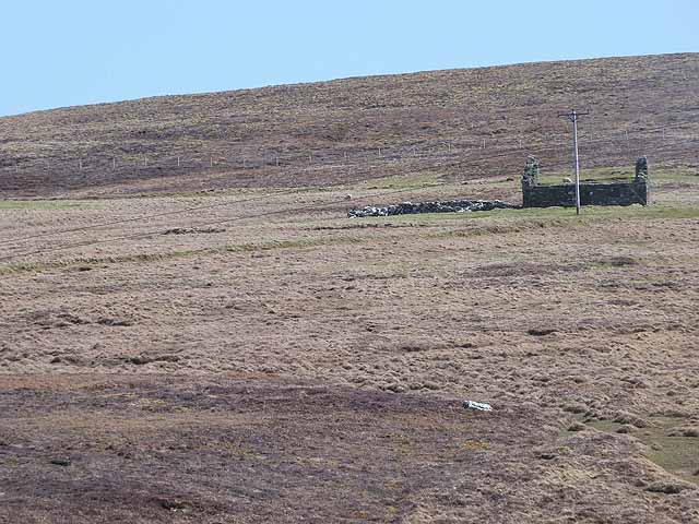
Buda Taing Images
Images are sourced within 2km of 60.610318/-0.94714965 or Grid Reference HU5792. Thanks to Geograph Open Source API. All images are credited.


Buda Taing is located at Grid Ref: HU5792 (Lat: 60.610318, Lng: -0.94714965)
Unitary Authority: Shetland Islands
Police Authority: Highlands and Islands
What 3 Words
///keepers.decoded.tensions. Near Houbie, Shetland Islands
Nearby Locations
Related Wikis

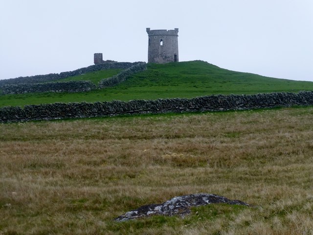
Brough Lodge
Brough Lodge is a 19th-century Gothic mansion on Fetlar, one of the Shetland Islands, in northern Scotland. Built by the Nicolson family, who were responsible...

Hascosay
Hascosay (Scots: Hascosay; Old Norse "Hafskotsey") is a small island lying between Yell and Fetlar in the Shetland Islands, Scotland. == Geography and... ==

Hamars Ness
Hamars Ness is a headland on the island of Fetlar in Shetland, Scotland. The name is from the Old Norse Hamarsnes meaning "craggy headland". A ro-ro ferry...

Urie Lingey
For other islands with similar names, see Linga (disambiguation) Urie Lingey is one of the Shetland Islands. It is between Fetlar and Unst, and Yell is...

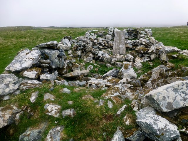
Burra Ness Broch
Burra Ness Broch is an iron-age broch located on the east coast of the island of Yell, Shetland, Scotland. == Location == Burra Ness Broch (grid reference...

Fetlar
Fetlar (Scots: Fetlar) is one of the North Isles of Shetland, Scotland, with a usually resident population of 61 at the time of the 2011 census. Its main...

Sound Gruney
For other islands with similar names, see Gruney (disambiguation) Sound Gruney is one of the Shetland islands. It lies about 1.5 kilometres (0.93 mi)...

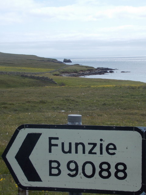
Funzie Girt
Funzie Girt (; Scots: Funyie Girt "Finns' dyke") is an ancient dividing wall that was erected from north to south across the island of Fetlar in Shetland...
Nearby Amenities
Located within 500m of 60.610318,-0.94714965Have you been to Buda Taing?
Leave your review of Buda Taing below (or comments, questions and feedback).