Scamagarth

Coastal Feature, Headland, Point in Shetland

Scotland

Scamagarth

The Houll, Whalsay Probably usually very damp.
The Houll, Whalsay Credit: David Purchase

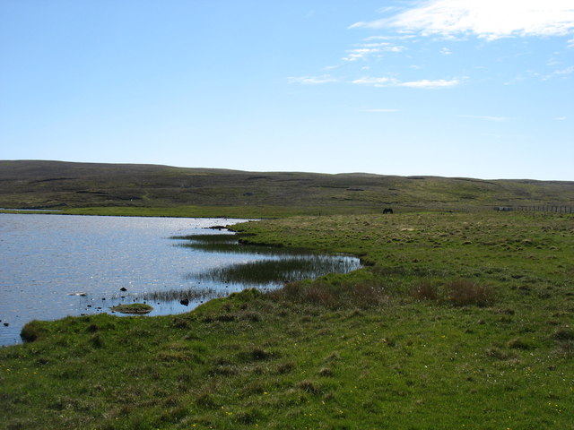
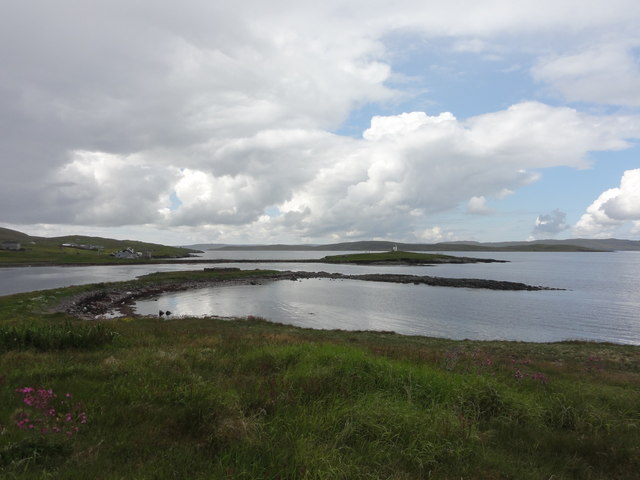
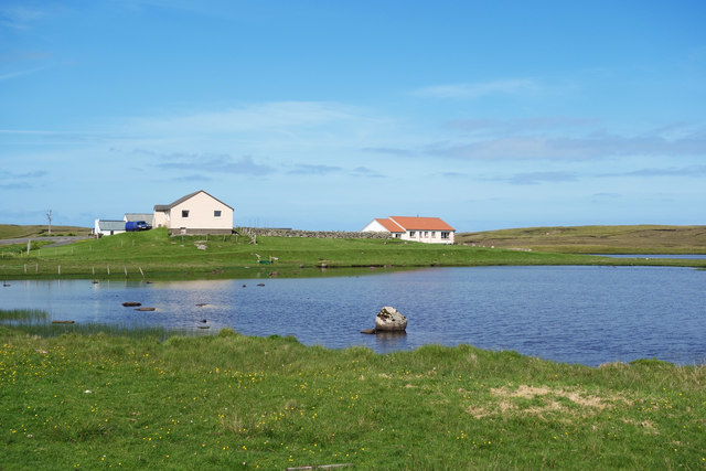
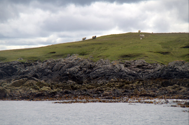
Scamagarth is a prominent coastal feature located on the Shetland Islands, Scotland. It is a headland or point that stretches out into the North Atlantic Ocean. The name "Scamagarth" is derived from Old Norse and translates to "rocky garden," which accurately describes the rugged and rocky terrain of this area.

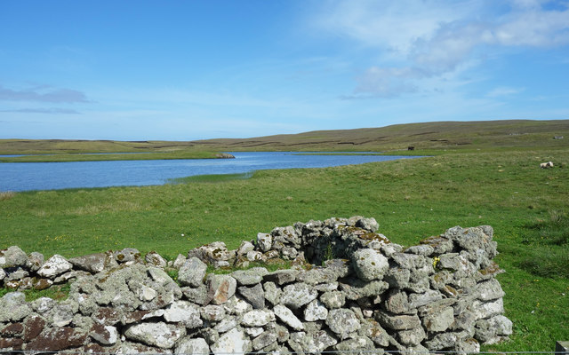
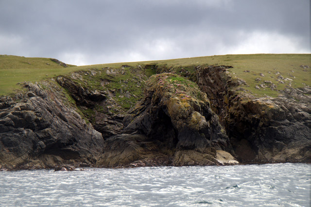
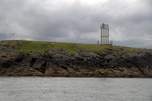
Situated on the western coast of the Shetland Islands, Scamagarth offers breathtaking panoramic views of the surrounding landscape. The headland is characterized by steep cliffs that tower above the crashing waves below. These cliffs are composed of layered rocks, showcasing the geologic history of the region.

Scamagarth is a popular spot for nature enthusiasts and outdoor adventurers. The headland provides an excellent vantage point for birdwatching, as it is home to various seabird species such as puffins, gannets, and fulmars. Visitors can also witness the dramatic coastal erosion processes and the power of the ocean firsthand.

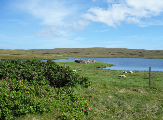
In addition to its natural beauty, Scamagarth holds historical significance. The area has remnants of ancient settlements, including stone structures and artifacts, suggesting human occupation dating back thousands of years. These archaeological sites provide valuable insights into the island's past and its early inhabitants.

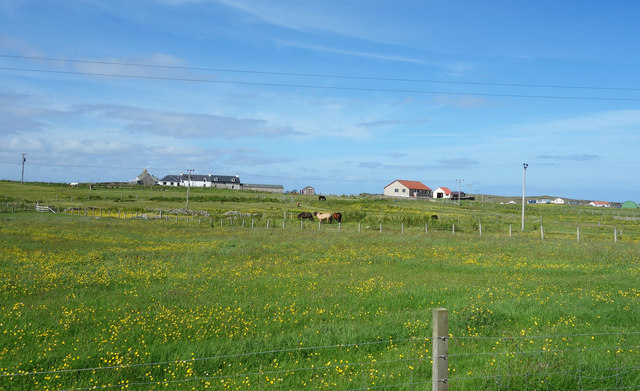
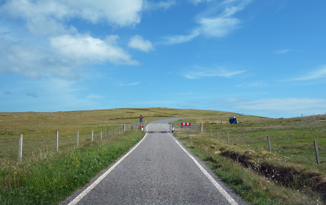
Access to Scamagarth is relatively easy, with a well-maintained footpath leading to the headland. However, caution is advised when approaching the cliff edges due to their steepness and potential instability. Visitors are encouraged to embrace the stunning scenery while respecting the fragile and delicate ecosystem of Scamagarth.

If you have any feedback on the listing, please let us know in the comments section below.

Scamagarth Images

Images are sourced within 2km of 60.369201/-0.99812458 or Grid Reference HU5565. Thanks to Geograph Open Source API. All images are credited.

The Houll, Whalsay Probably usually very damp.
The Houll, Whalsay
Probably usually very damp.
Loch Vats-houll, Whalsay
The west shore of Loch Vats-houll, Whalsay
Whalsay Kirk and graveyard The Kirk stands on Kirk Ness, a small islet joined to Whalsay by one of Shetland's splendid tombolas. Though actually I think this one has needed a bit of protection from time to time.
Whalsay Kirk and graveyard
The Kirk stands on Kirk Ness, a small islet joined to Whalsay by one of Shetland's splendid tombolas. Though actually I think this one has needed a bit of protection from time to time.
Houb and Suther Ness, Whalsay Suther Ness, with its beacon, is connected to the mainland of Whalsay. But you can't walk there direct from here, you have to approach from the left. Houb (on the left) would, I imagine, make a fine natural harbour were it not for the fact that the channel ahead which prevents a direct approach to Suther Ness is too shallow for all but the smallest craft (such as the little one seen here).
Houb and Suther Ness, Whalsay
Suther Ness, with its beacon, is connected to the mainland of Whalsay. But you can't walk there direct from here, you have to approach from the left. Houb (on the left) would, I imagine, make a fine natural harbour were it not for the fact that the channel ahead which prevents a direct approach to Suther Ness is too shallow for all but the smallest craft (such as the little one seen here).
The road to Brough, Whalsay
Approaching Symbister, Whalsay A rare stretch of road on Whalsay which does not need passing places!
Approaching Symbister, Whalsay
A rare stretch of road on Whalsay which does not need passing places!
Kirk Ness View from Kick Ness
Kirk Ness
View from Kick Ness
Loch Vats-houll
Loch Vats-houll
Overlooking Loch Vats-houll Houses with a nice view over the Loch. The one on the left can probably see the sea as well.
Overlooking Loch Vats-houll
Houses with a nice view over the Loch. The one on the left can probably see the sea as well.
Old Walls by Loch Vats-houll
Fields and Houses at Challister
Road to Isbister This road runs through the centre of Whalsay  in a NW to SE direction.
Road to Isbister
This road runs through the centre of Whalsay in a NW to SE direction.
Rooi Geo, West Linga, Whalsay
Beacon on Wether Holm, Whalsay
MV Filla passing Wether Holm, Whalsay The Filla is the ferry for Out Skerries and operates between there, Vidlin, Whalsay and Lerwick.
MV Filla passing Wether Holm, Whalsay
The Filla is the ferry for Out Skerries and operates between there, Vidlin, Whalsay and Lerwick.
MV Filla passing Marrister, Whalsay
Sheep on West Linga
Sheep on West Linga
Show me another place!

Scamagarth is located at Grid Ref: HU5565 (Lat: 60.369201, Lng: -0.99812458)

Unitary Authority: Shetland Islands

Police Authority: Highlands and Islands

What 3 Words

///subplot.tinkle.spoons. Near Symbister, Shetland Islands

Related Wikis

Whalsay Parish Church

Whalsay Parish Church or Whalsay Kirk is a Church of Scotland parish church on the island of Whalsay, Shetland Islands, Scotland. It lies to the north...

Brough, Shetland

Brough is a settlement in western Whalsay in the parish of Nesting in the Shetland islands of Scotland. It lies to the southwest of Challister, northeast...

Tripwell

Tripwell is a hamlet in western Whalsay in the parish of Nesting in the Shetland islands of Scotland. It is located to the south of the village of Brough...

Linga Sound, Shetland

Linga Sound is the strait between the islands of Whalsay and West Linga in the Shetland islands of Scotland. The sound has a depth of 11 to 12 fathoms...

Nearby Amenities

Located within 500m of 60.369201,-0.99812458
Barrier: cattle_grid
Lat/Long: 60.3667834/-1.0018987
Brough
Is In: Shetland
Place: hamlet
Lat/Long: 60.3649442/-0.9954372
Seamark Light 1 Character: Fl
Seamark Light 1 Colour: white
Seamark Light 1 Height: 8
Seamark Light 1 Period: 3
Seamark Light 1 Range: 10
Seamark Light 1 Sector End: 38
Seamark Light 1 Sector Start: 20
Seamark Light 1 Sequence: 0.5+(2.5)
Seamark Light 2 Character: Fl
Seamark Light 2 Colour: red
Seamark Light 2 Height: 8
Seamark Light 2 Period: 3
Seamark Light 2 Range: 8
Seamark Light 2 Sector End: 135
Seamark Light 2 Sector Start: 38
Seamark Light 2 Sequence: 0.5+(2.5)
Seamark Light 3 Character: Fl
Seamark Light 3 Colour: white
Seamark Light 3 Height: 8
Seamark Light 3 Period: 3
Seamark Light 3 Range: 10
Seamark Light 3 Sector End: 143
Seamark Light 3 Sector Start: 135
Seamark Light 3 Sequence: 0.5+(2.5)
Seamark Light 4 Character: Fl
Seamark Light 4 Colour: green
Seamark Light 4 Height: 8
Seamark Light 4 Period: 3
Seamark Light 4 Range: 7
Seamark Light 4 Sector End: 158
Seamark Light 4 Sector Start: 143
Seamark Light 4 Sequence: 0.5+(2.5)
Seamark Light 5 Character: Fl
Seamark Light 5 Colour: red
Seamark Light 5 Height: 8
Seamark Light 5 Period: 3
Seamark Light 5 Range: 8
Seamark Light 5 Sector End: 173
Seamark Light 5 Sector Start: 158
Seamark Light 5 Sequence: 0.5+(2.5)
Seamark Light 6 Character: Fl
Seamark Light 6 Colour: white
Seamark Light 6 Height: 8
Seamark Light 6 Period: 3
Seamark Light 6 Range: 10
Seamark Light 6 Sector End: 206
Seamark Light 6 Sector Start: 173
Seamark Light 6 Sequence: 0.5+(2.5)
Seamark Light 7 Character: Fl
Seamark Light 7 Colour: green
Seamark Light 7 Height: 8
Seamark Light 7 Period: 3
Seamark Light 7 Range: 7
Seamark Light 7 Sector End: 240
Seamark Light 7 Sector Start: 206
Seamark Light 7 Sequence: 0.5+(2.5)
Seamark Light Reference: A 3804
Seamark Name: Suther Ness
Seamark Type: light_major
Source: US NGA Pub. 114. 2011-05-26.
Lat/Long: 60.3686027/-1.0028242
Bench
Lat/Long: 60.366698/-0.9946426
Power: pole
Lat/Long: 60.3653334/-1.0023176
Power: pole
Lat/Long: 60.3658918/-1.0020416
Power: pole
Lat/Long: 60.3667131/-1.0016137
Power: pole
Lat/Long: 60.3670273/-1.0002793
Power: pole
Lat/Long: 60.3673428/-0.9989145
Power: pole
Lat/Long: 60.367592/-0.9978789
Power: pole
Lat/Long: 60.3678486/-0.9967927
Power: pole
Lat/Long: 60.3682066/-0.9952734
Power: pole
Lat/Long: 60.368611/-0.9954684
Power: pole
Lat/Long: 60.3689978/-0.9956507
Power: pole
Lat/Long: 60.3656602/-1.0025936
Power: pole
Lat/Long: 60.3661585/-1.0030139
Power: pole
Lat/Long: 60.3651963/-0.9950595
Power: pole
Lat/Long: 60.3663294/-0.9911348
Power: pole
Lat/Long: 60.3666499/-0.990793
Power: pole
Lat/Long: 60.3669503/-0.9904891
The data included in this document is from www.openstreetmap.org. The data is made available under ODbL.

Have you been to Scamagarth?

Leave your review of Scamagarth below (or comments, questions and feedback).