Hraan Geo
Coastal Feature, Headland, Point in Shetland
Scotland
Hraan Geo

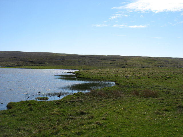
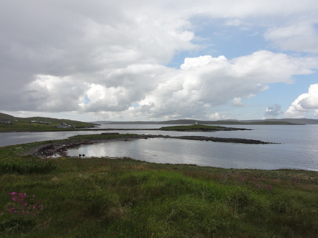
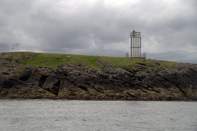
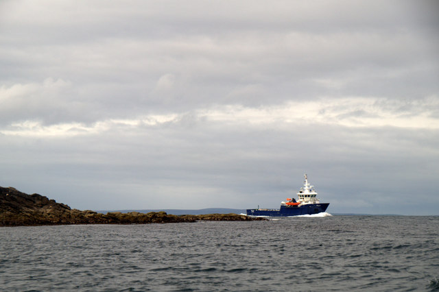
Hraan Geo is a prominent coastal feature located in the Shetland Islands, off the northeastern coast of Scotland. It is a headland or point that juts out into the North Sea, offering stunning views of the surrounding landscape and ocean.
Situated on the mainland of Shetland, Hraan Geo is characterized by its rugged cliffs and rocky terrain. The headland is formed from layers of sedimentary rocks, such as sandstone and shale, which have been eroded over time by the relentless force of the sea. This erosion has resulted in the creation of steep cliffs that reach heights of up to 100 meters (328 feet) in some areas.
Hraan Geo is a popular spot for nature enthusiasts and photographers due to its dramatic scenery. The headland provides a vantage point for observing various marine wildlife, including seabirds like puffins, guillemots, and razorbills. It is also home to a diverse array of plant species that have adapted to the challenging coastal conditions, such as sea pink and sea campion.
The name "Hraan Geo" is derived from the Old Norse language and translates to "sloping inlet" or "narrow cove." This name accurately reflects the geography of the area, as the headland features a steep slope leading down to a small, rocky inlet that is partially sheltered from the open sea.
Overall, Hraan Geo is a striking coastal feature in the Shetland Islands, offering visitors the chance to experience the rugged beauty of the region's landscape and witness the power of the North Sea.
If you have any feedback on the listing, please let us know in the comments section below.
Hraan Geo Images
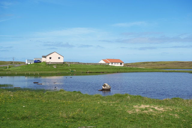
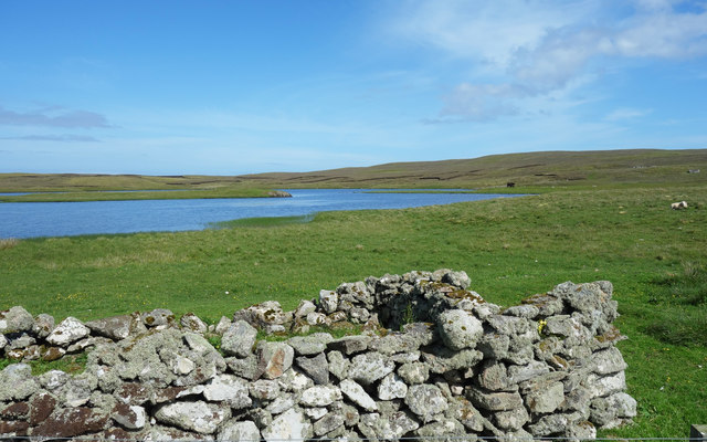
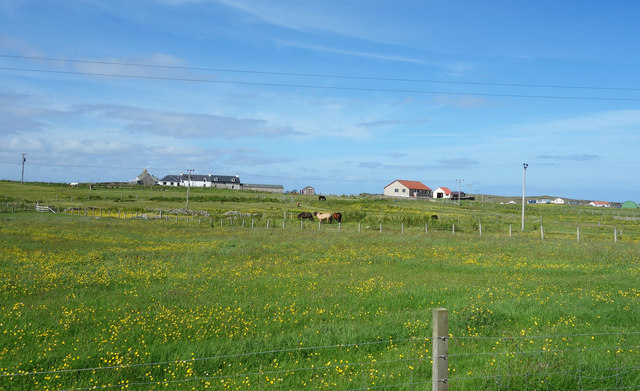
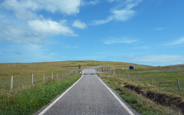
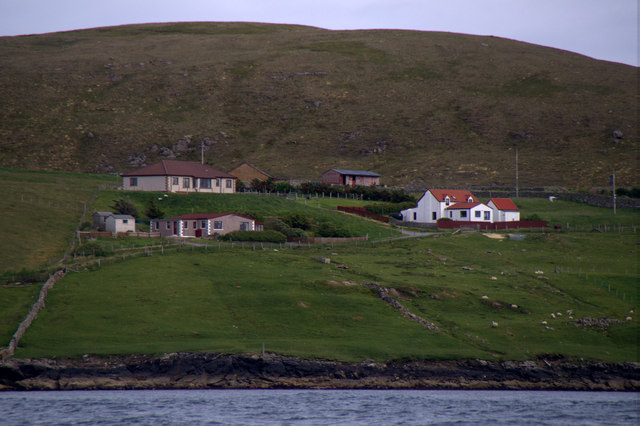
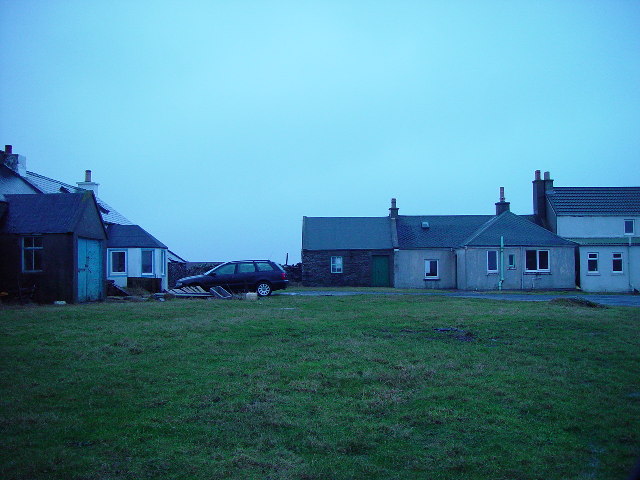
Images are sourced within 2km of 60.368834/-0.9888888 or Grid Reference HU5565. Thanks to Geograph Open Source API. All images are credited.


Hraan Geo is located at Grid Ref: HU5565 (Lat: 60.368834, Lng: -0.9888888)
Unitary Authority: Shetland Islands
Police Authority: Highlands and Islands
What 3 Words
///doll.pirate.confronts. Near Symbister, Shetland Islands
Nearby Locations
Related Wikis

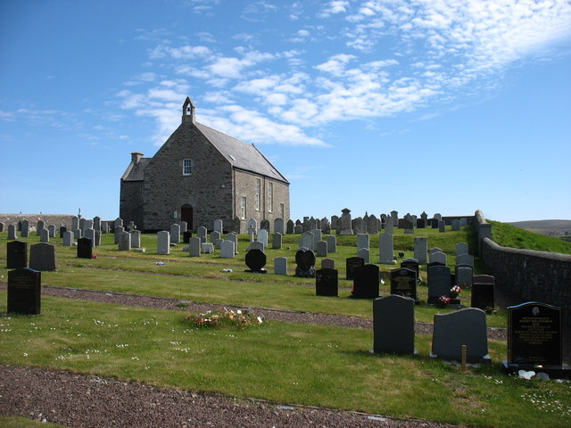
Whalsay Parish Church
Whalsay Parish Church or Whalsay Kirk is a Church of Scotland parish church on the island of Whalsay, Shetland Islands, Scotland. It lies to the north...

Brough, Shetland
Brough is a settlement in western Whalsay in the parish of Nesting in the Shetland islands of Scotland. It lies to the southwest of Challister, northeast...
Challister
Challister is a crofting township and ward in northwestern Whalsay in the parish of Nesting in the Shetland islands of Scotland. Loch Vats-houll is in...

Tripwell
Tripwell is a hamlet in western Whalsay in the parish of Nesting in the Shetland islands of Scotland. It is located to the south of the village of Brough...
Nearby Amenities
Located within 500m of 60.368834,-0.9888888Have you been to Hraan Geo?
Leave your review of Hraan Geo below (or comments, questions and feedback).