South Voe of Brough
Sea, Estuary, Creek in Shetland
Scotland
South Voe of Brough

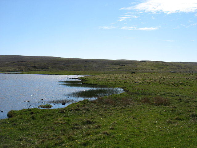
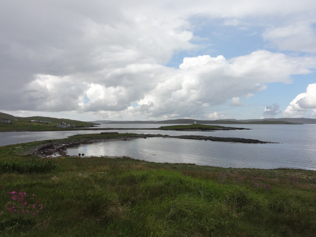
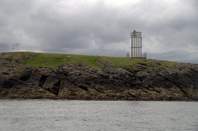
South Voe of Brough is a picturesque coastal feature located in the Shetland Islands, Scotland. It is a sea inlet commonly referred to as a voe, which is a term used locally to describe a narrow, deep inlet of water. The South Voe of Brough is situated on the eastern side of the mainland of Shetland, near the village of Cunningsburgh.
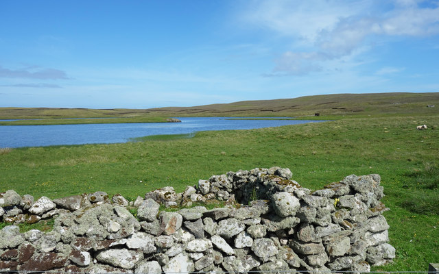
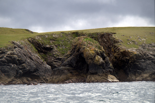
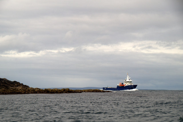
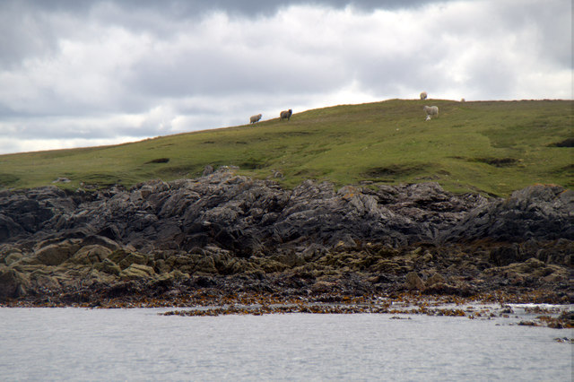
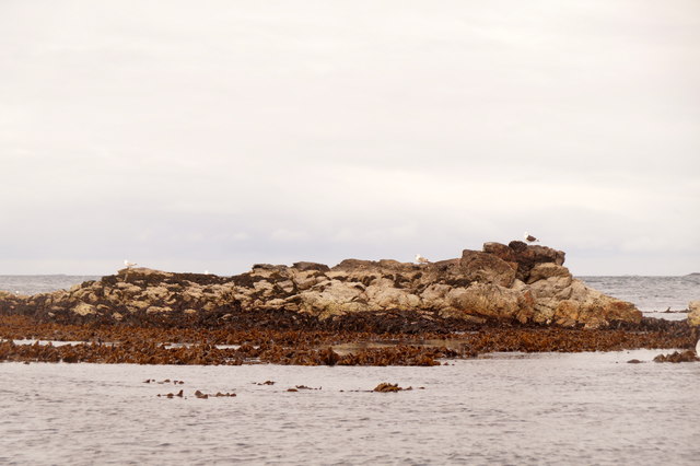
This voe extends inland for approximately 2 kilometers, creating a natural harbor-like formation. It is surrounded by rugged cliffs on either side, which provide stunning views and make it an ideal location for nature enthusiasts and photographers. The water within the voe is influenced by the tides of the North Sea, resulting in a mix of saltwater and freshwater, creating a unique habitat for marine life.
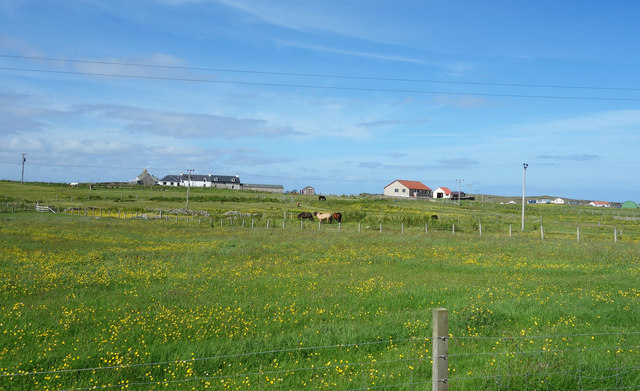
The South Voe of Brough is also a popular spot for birdwatching, as it attracts a variety of seabirds and waders. Visitors can often spot species such as puffins, guillemots, and oystercatchers along the shores. The area is also known for its rich fishing grounds, particularly for herring and mackerel.
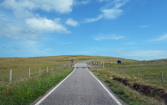
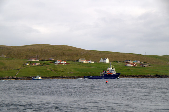
Access to the South Voe of Brough is relatively easy, with a road leading to the voe and a small parking area nearby. From there, visitors can take leisurely walks along the shoreline, enjoying the tranquility and natural beauty of the surrounding landscape.
Overall, the South Voe of Brough is a stunning coastal feature that offers a diverse range of wildlife and natural beauty, making it a must-visit destination for nature lovers and those seeking a peaceful retreat in the Shetland Islands.
If you have any feedback on the listing, please let us know in the comments section below.
South Voe of Brough Images
Images are sourced within 2km of 60.367642/-1.0022156 or Grid Reference HU5565. Thanks to Geograph Open Source API. All images are credited.


South Voe of Brough is located at Grid Ref: HU5565 (Lat: 60.367642, Lng: -1.0022156)
Unitary Authority: Shetland Islands
Police Authority: Highlands and Islands
What 3 Words
///dimes.homework.venturing. Near Symbister, Shetland Islands
Nearby Locations
Related Wikis

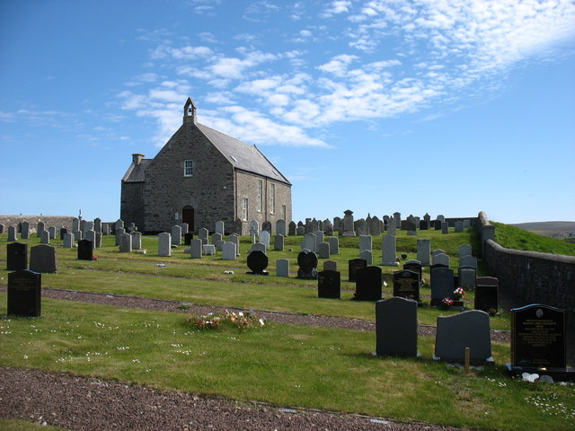
Whalsay Parish Church
Whalsay Parish Church or Whalsay Kirk is a Church of Scotland parish church on the island of Whalsay, Shetland Islands, Scotland. It lies to the north...

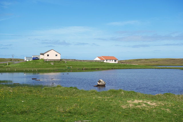
Brough, Shetland
Brough is a settlement in western Whalsay in the parish of Nesting in the Shetland islands of Scotland. It lies to the southwest of Challister, northeast...

Tripwell
Tripwell is a hamlet in western Whalsay in the parish of Nesting in the Shetland islands of Scotland. It is located to the south of the village of Brough...

Linga Sound, Shetland
Linga Sound is the strait between the islands of Whalsay and West Linga in the Shetland islands of Scotland. The sound has a depth of 11 to 12 fathoms...
Nearby Amenities
Located within 500m of 60.367642,-1.0022156Have you been to South Voe of Brough?
Leave your review of South Voe of Brough below (or comments, questions and feedback).