Andooing Skerry
Island in Shetland
Scotland
Andooing Skerry

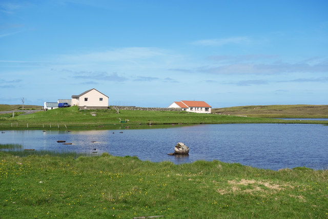
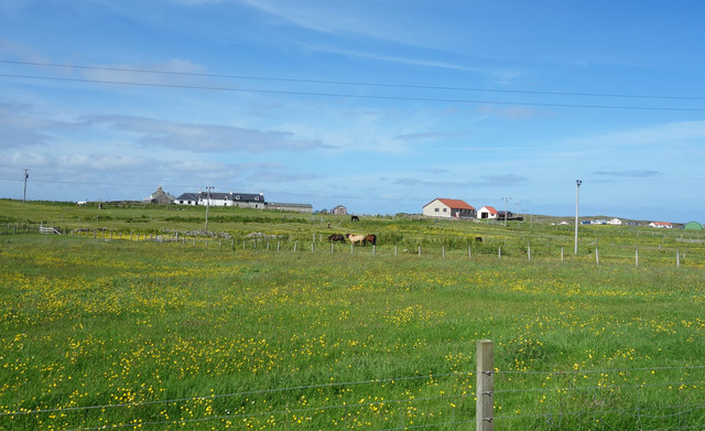
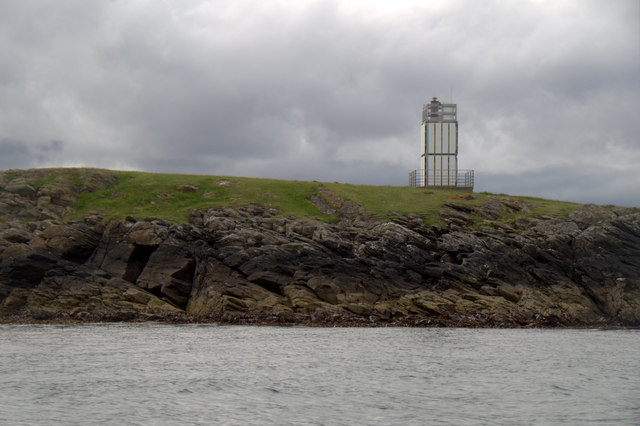
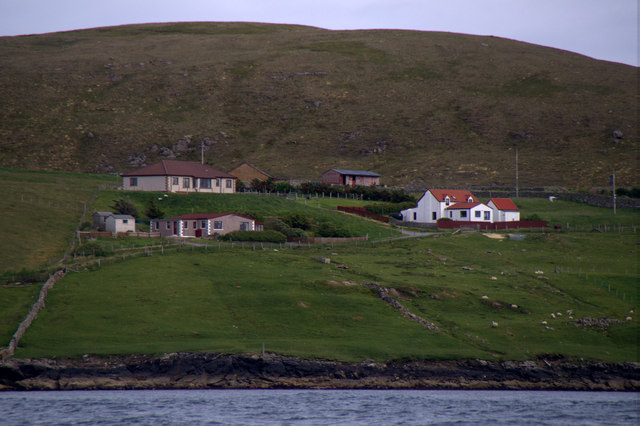
Andooing Skerry is a small island located off the coast of Shetland, an archipelago in Scotland. It lies in the North Atlantic Ocean, about 10 miles northeast of the mainland. The island is uninhabited and covers an area of approximately 15 acres.
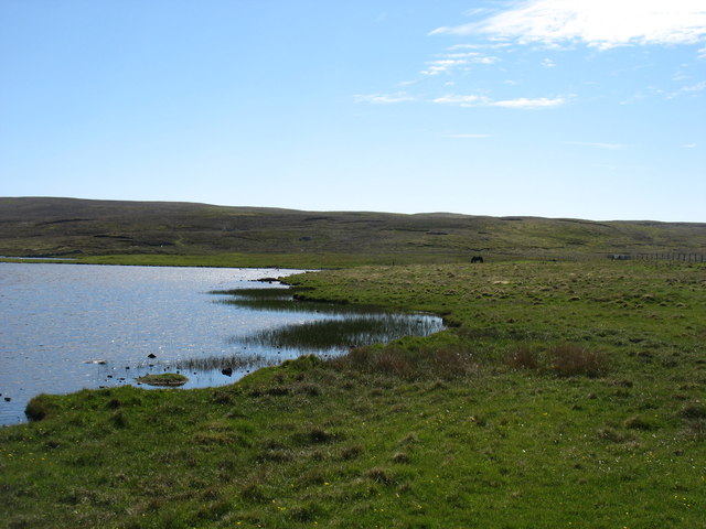
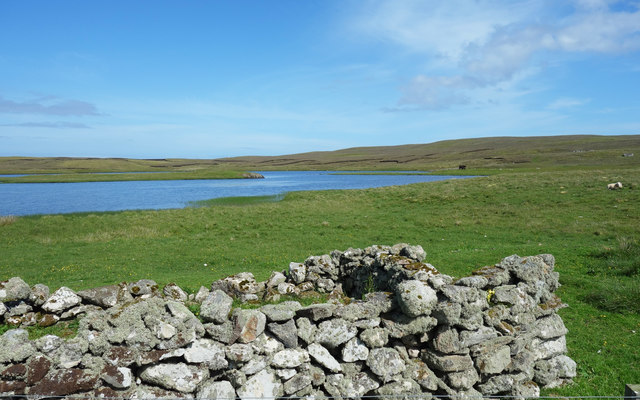
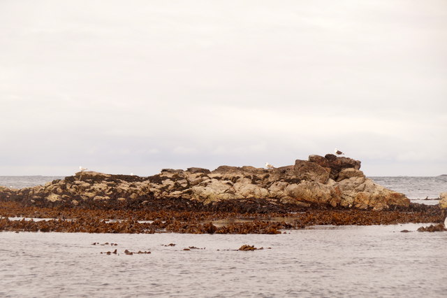
Andooing Skerry is characterized by its rugged and rocky terrain, with steep cliffs rising from the sea. The island's coastline is jagged and dotted with rocky outcrops, providing a habitat for various seabirds such as puffins, guillemots, and razorbills. These birds use the island as a nesting site during the breeding season.
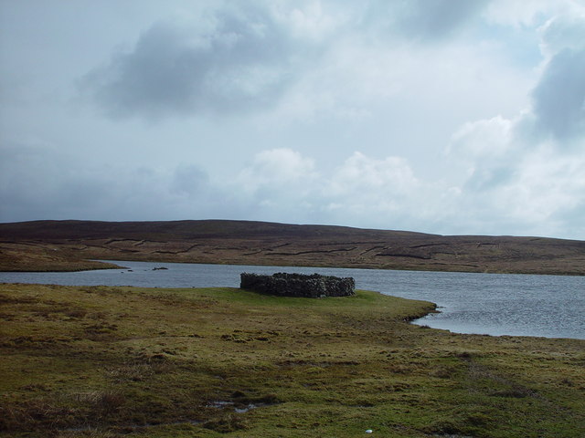
The vegetation on Andooing Skerry is sparse, consisting mainly of grasses, mosses, and lichens that cling to the rocky surfaces. Due to its exposure to strong winds and harsh weather conditions, the island's flora is adapted to survive in this challenging environment.
The surrounding waters of Andooing Skerry are known for their rich marine life. Seals and otters can often be spotted swimming or basking on the rocks, while various fish species, including cod and haddock, thrive in the cold Atlantic waters.
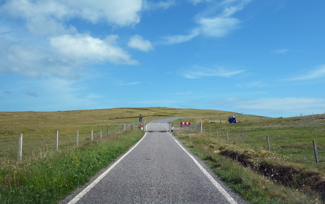
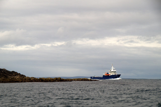
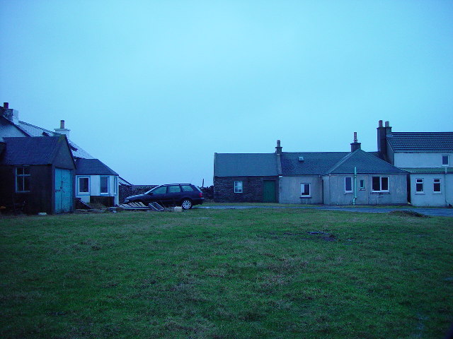
Although the island is not accessible to the public, it can be admired from a distance during boat trips or from viewpoints along the coast of Shetland. Andooing Skerry provides a glimpse into the wild and untouched beauty of the Shetland Isles, showcasing the unique ecosystem and natural wonders that make this region a haven for wildlife enthusiasts and nature lovers.
If you have any feedback on the listing, please let us know in the comments section below.
Andooing Skerry Images
Images are sourced within 2km of 60.371233/-0.99264051 or Grid Reference HU5565. Thanks to Geograph Open Source API. All images are credited.


Andooing Skerry is located at Grid Ref: HU5565 (Lat: 60.371233, Lng: -0.99264051)
Unitary Authority: Shetland Islands
Police Authority: Highlands and Islands
What 3 Words
///ticked.relished.port. Near Symbister, Shetland Islands
Nearby Locations
Related Wikis

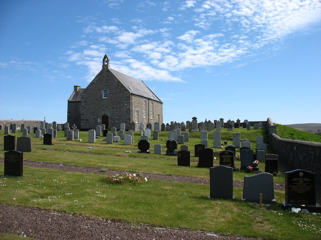
Whalsay Parish Church
Whalsay Parish Church or Whalsay Kirk is a Church of Scotland parish church on the island of Whalsay, Shetland Islands, Scotland. It lies to the north...

Brough, Shetland
Brough is a settlement in western Whalsay in the parish of Nesting in the Shetland islands of Scotland. It lies to the southwest of Challister, northeast...
Challister
Challister is a crofting township and ward in northwestern Whalsay in the parish of Nesting in the Shetland islands of Scotland. Loch Vats-houll is in...

Tripwell
Tripwell is a hamlet in western Whalsay in the parish of Nesting in the Shetland islands of Scotland. It is located to the south of the village of Brough...
Vats-houll
Vats-houll is a settlement in northwestern Whalsay in the parish of Nesting in the Shetland islands of Scotland. The village overlooks the loch of the...

Loch of Houll
Loch of Houll is a loch on Whalsay, one of the Shetland islands of Scotland. It is located to the southeast of Brough and on the eastern side of Setter...

Linga Sound, Shetland
Linga Sound is the strait between the islands of Whalsay and West Linga in the Shetland islands of Scotland. The sound has a depth of 11 to 12 fathoms...

Scarfmoor Burn
Scarfmoor Burn is a burn (stream) in western Whalsay, Shetland Islands, Scotland. The source of the stream is on the southeastern side of Setter Hill....
Nearby Amenities
Located within 500m of 60.371233,-0.99264051Have you been to Andooing Skerry?
Leave your review of Andooing Skerry below (or comments, questions and feedback).