Suther Ness
Coastal Feature, Headland, Point in Shetland
Scotland
Suther Ness

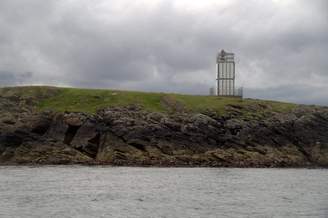
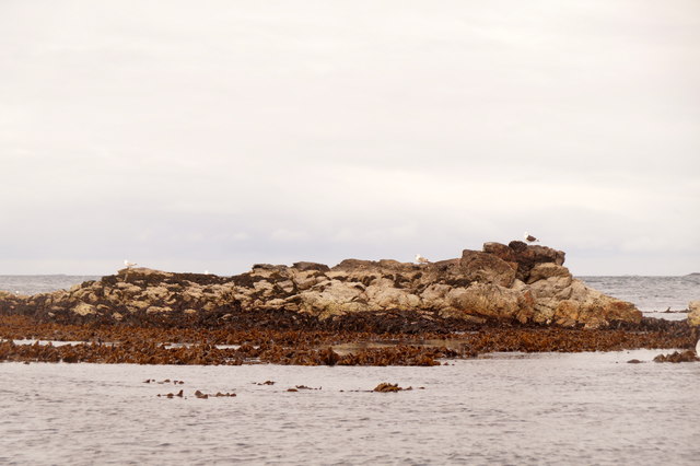
Suther Ness is a prominent coastal feature located in the Shetland Islands, Scotland. It is a headland or a point that extends into the North Sea, marking the southernmost tip of the mainland of Shetland. The name "Suther Ness" is derived from the Old Norse language, meaning "southern point."
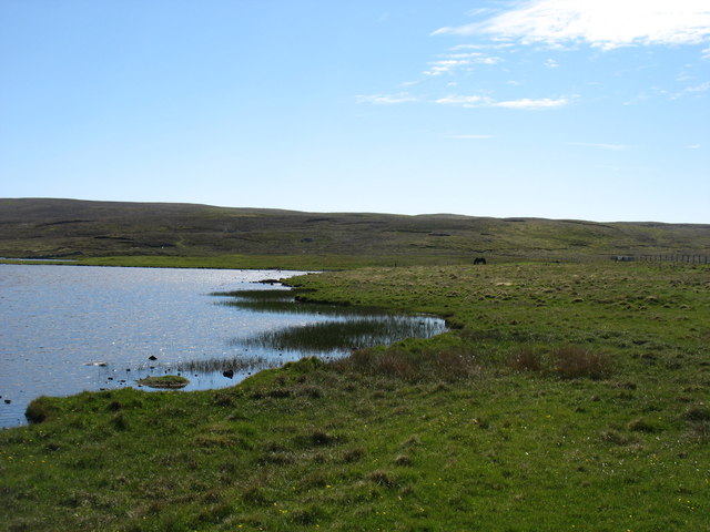
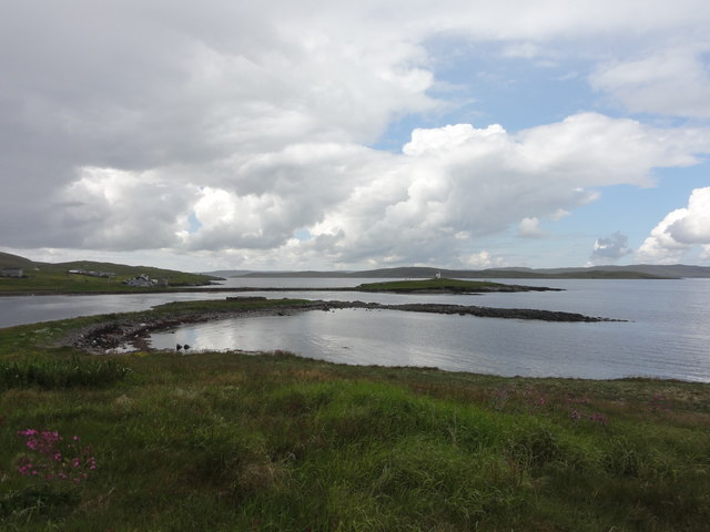
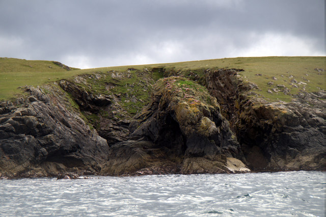
This geographical landmark is characterized by its rugged and rocky terrain, consisting of steep cliffs that rise dramatically from the sea below. The headland is predominantly composed of sedimentary rocks, such as sandstone and limestone, which have been shaped over thousands of years by the powerful forces of wind and waves. These cliffs provide nesting sites for various seabird species, including puffins, razorbills, and guillemots.
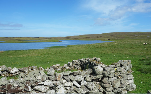
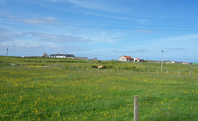
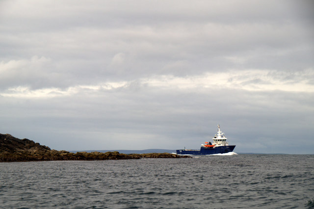
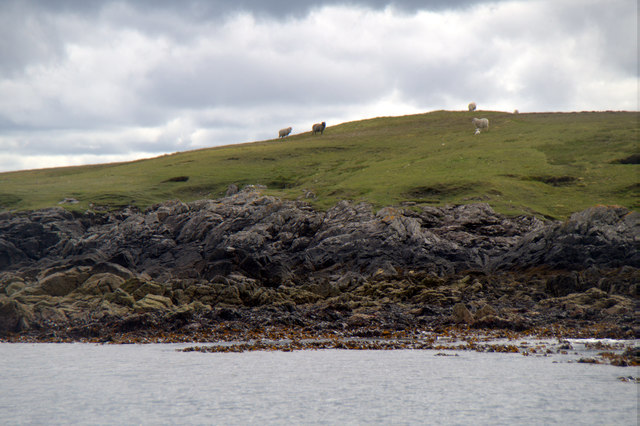
The area surrounding Suther Ness is known for its stunning natural beauty. The coastal landscape offers breathtaking views of the open sea, with its deep blue waters contrasting against the striking cliffs. The headland is also home to a diverse range of flora and fauna, including wildflowers, grasses, and heather, which flourish in the relatively mild climate of the Shetland Islands.
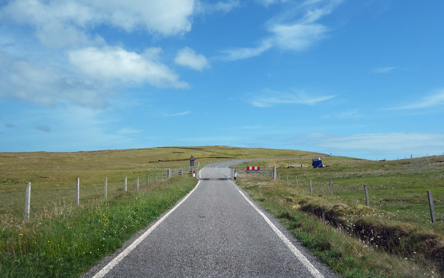
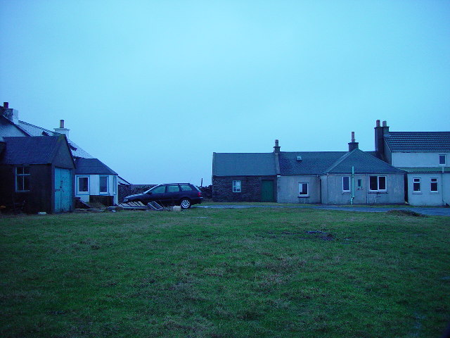
Suther Ness is a popular destination for outdoor enthusiasts and nature lovers who come to explore its picturesque scenery and observe the abundant wildlife. The headland is easily accessible by road, with a car park and walking paths providing visitors with the opportunity to hike along the cliff tops and take in the panoramic vistas. Additionally, the area offers opportunities for fishing, birdwatching, and photography, making it a haven for those seeking a peaceful and immersive coastal experience.
If you have any feedback on the listing, please let us know in the comments section below.
Suther Ness Images
Images are sourced within 2km of 60.368779/-1.0018 or Grid Reference HU5565. Thanks to Geograph Open Source API. All images are credited.


Suther Ness is located at Grid Ref: HU5565 (Lat: 60.368779, Lng: -1.0018)
Unitary Authority: Shetland Islands
Police Authority: Highlands and Islands
What 3 Words
///upholding.extensive.carriage. Near Symbister, Shetland Islands
Nearby Locations
Related Wikis

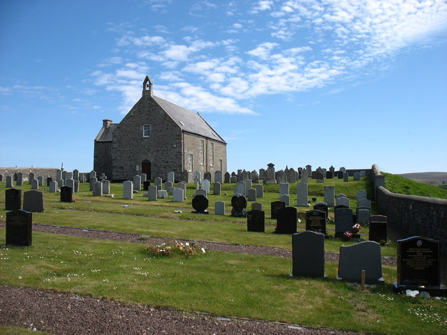
Whalsay Parish Church
Whalsay Parish Church or Whalsay Kirk is a Church of Scotland parish church on the island of Whalsay, Shetland Islands, Scotland. It lies to the north...

Brough, Shetland
Brough is a settlement in western Whalsay in the parish of Nesting in the Shetland islands of Scotland. It lies to the southwest of Challister, northeast...

Linga Sound, Shetland
Linga Sound is the strait between the islands of Whalsay and West Linga in the Shetland islands of Scotland. The sound has a depth of 11 to 12 fathoms...

Tripwell
Tripwell is a hamlet in western Whalsay in the parish of Nesting in the Shetland islands of Scotland. It is located to the south of the village of Brough...

Loch of Houll
Loch of Houll is a loch on Whalsay, one of the Shetland islands of Scotland. It is located to the southeast of Brough and on the eastern side of Setter...

Scarfmoor Burn
Scarfmoor Burn is a burn (stream) in western Whalsay, Shetland Islands, Scotland. The source of the stream is on the southeastern side of Setter Hill....
Challister
Challister is a crofting township and ward in northwestern Whalsay in the parish of Nesting in the Shetland islands of Scotland. Loch Vats-houll is in...

Marrister
Marrister is a settlement on the west coast of Whalsay in the parish of Nesting in the Shetland islands of Scotland. It looks across Linga Sound to the...
Nearby Amenities
Located within 500m of 60.368779,-1.0018Have you been to Suther Ness?
Leave your review of Suther Ness below (or comments, questions and feedback).