Mooa Geo
Coastal Feature, Headland, Point in Shetland
Scotland
Mooa Geo

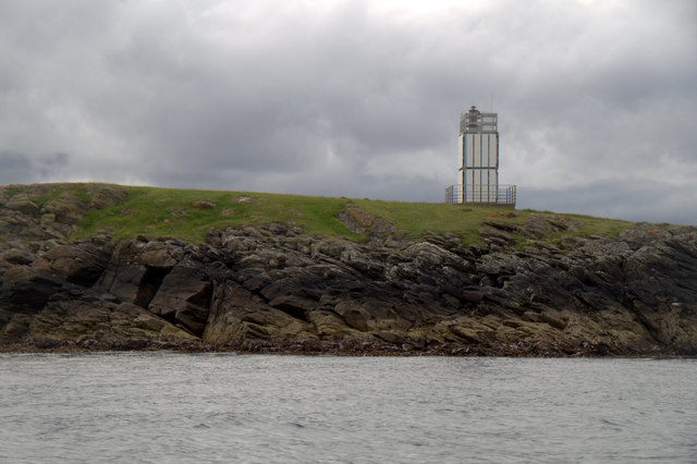
Mooa Geo is a prominent coastal feature located in the Shetland Islands, which are part of Scotland. It is classified as a headland or point and is situated on the southwestern coast of the main island, known as the Mainland. Mooa Geo is surrounded by rugged cliffs and is characterized by its stunning natural beauty and unique geological formations.
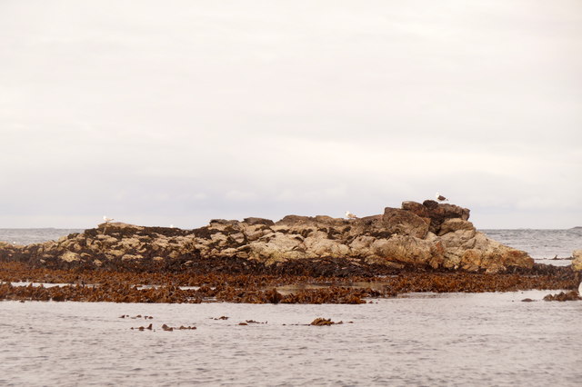
The coastal feature's name, "Mooa Geo," combines the Shetland dialect word "mooa," meaning "mouth," with "geo," which refers to a narrow, steep-sided inlet or cleft in the coastline. This name accurately describes the physical characteristics of Mooa Geo, as it is a narrow and deep inlet that cuts into the rocky shoreline.
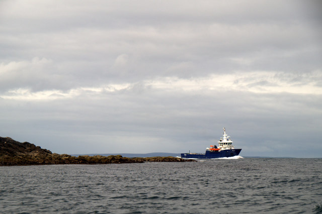
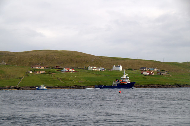
Mooa Geo offers breathtaking views of the North Atlantic Ocean and is a popular spot for tourists and locals alike. The surrounding cliffs provide a dramatic backdrop, with their jagged edges and various shades of gray and brown. The area is home to an array of seabirds, including puffins, guillemots, and fulmars, which can often be seen nesting on the cliffs or soaring above the water.
Visitors to Mooa Geo can explore the area by foot, taking in the panoramic views and experiencing the wild beauty of the Shetland coastline. It is advisable to exercise caution when venturing close to the edge of the cliffs, as they can be unstable and dangerous.
Overall, Mooa Geo is a captivating coastal feature that showcases the natural splendor of the Shetland Islands. Its rugged cliffs, stunning views, and abundant wildlife make it a must-visit destination for nature enthusiasts and those seeking a true Scottish coastal experience.
If you have any feedback on the listing, please let us know in the comments section below.
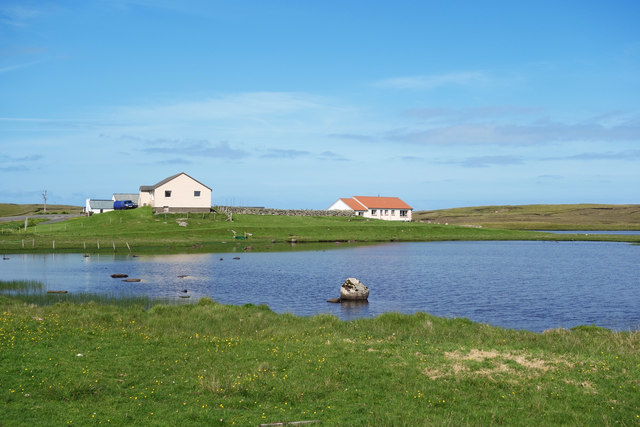
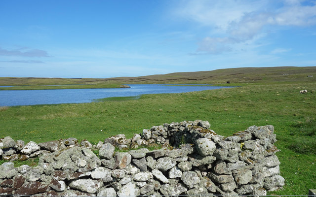
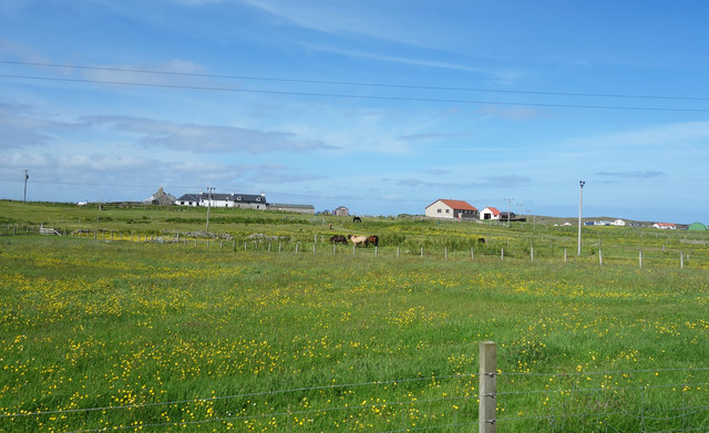
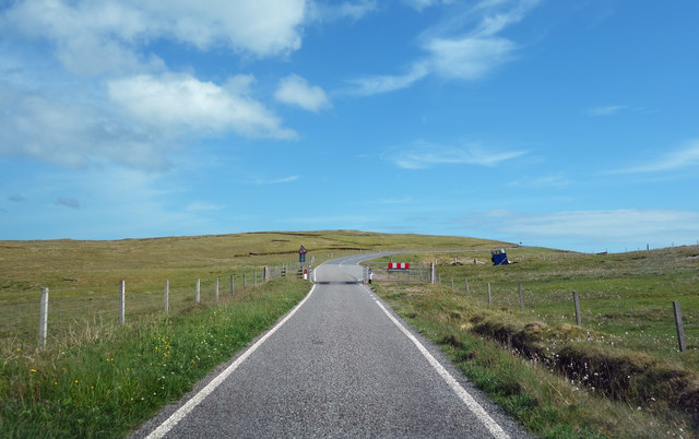
Mooa Geo Images
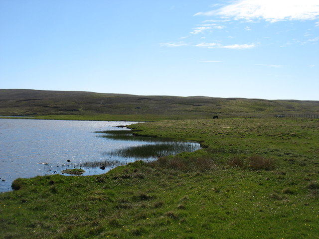
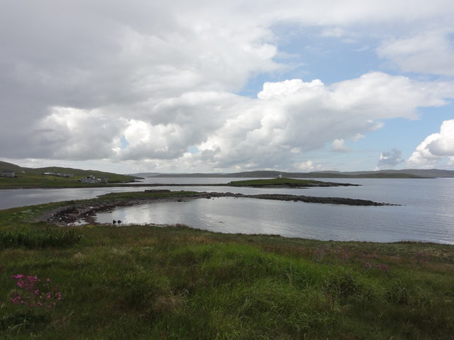
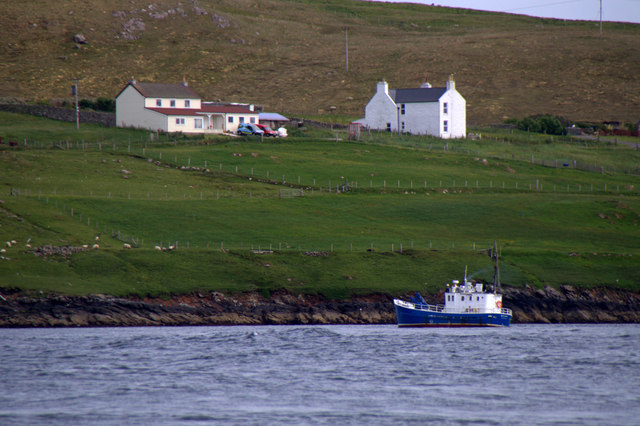
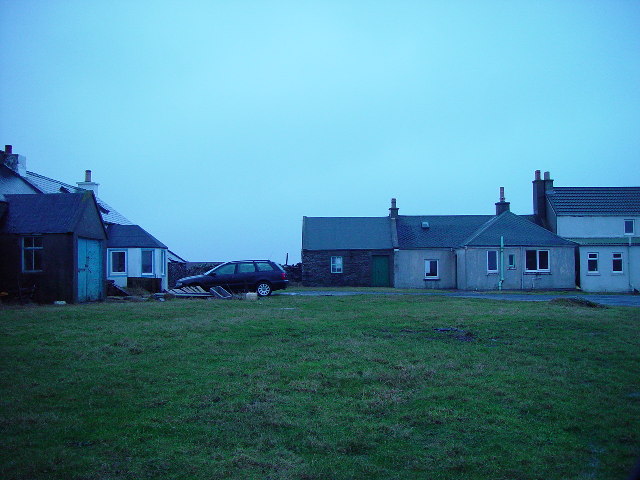
Images are sourced within 2km of 60.369793/-0.99335583 or Grid Reference HU5565. Thanks to Geograph Open Source API. All images are credited.


Mooa Geo is located at Grid Ref: HU5565 (Lat: 60.369793, Lng: -0.99335583)
Unitary Authority: Shetland Islands
Police Authority: Highlands and Islands
What 3 Words
///dares.wagers.attention. Near Symbister, Shetland Islands
Nearby Locations
Related Wikis

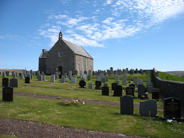
Whalsay Parish Church
Whalsay Parish Church or Whalsay Kirk is a Church of Scotland parish church on the island of Whalsay, Shetland Islands, Scotland. It lies to the north...

Brough, Shetland
Brough is a settlement in western Whalsay in the parish of Nesting in the Shetland islands of Scotland. It lies to the southwest of Challister, northeast...
Challister
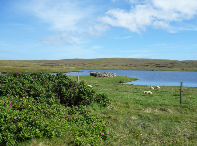
Challister is a crofting township and ward in northwestern Whalsay in the parish of Nesting in the Shetland islands of Scotland. Loch Vats-houll is in...

Tripwell
Tripwell is a hamlet in western Whalsay in the parish of Nesting in the Shetland islands of Scotland. It is located to the south of the village of Brough...
Nearby Amenities
Located within 500m of 60.369793,-0.99335583Have you been to Mooa Geo?
Leave your review of Mooa Geo below (or comments, questions and feedback).