Quee Ness

Coastal Feature, Headland, Point in Shetland

Scotland

Quee Ness

Village store and filling station The trading premises of John I Herculson of Vidlin.
Village store and filling station Credit: Oliver Dixon

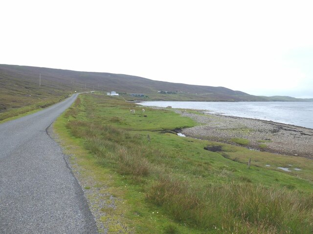
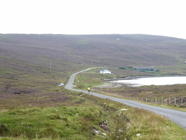
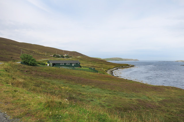
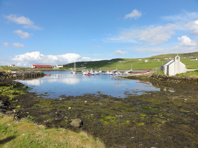
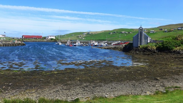
Quee Ness is a prominent coastal feature situated on the Shetland Islands, located off the northeast coast of Scotland. It is characterized as a headland, jutting out into the North Atlantic Ocean, and is known for its captivating beauty and rugged landscape.

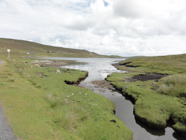
The headland of Quee Ness is formed by a combination of sedimentary rocks, including sandstone and shale, which have been eroded over centuries by the powerful forces of the ocean. This erosion has resulted in the creation of steep cliffs that provide stunning panoramic views of the surrounding coastline.

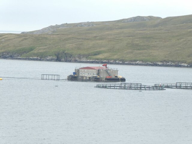
At the tip of Quee Ness, there is a point that extends further into the sea. This point is a popular spot for birdwatchers, as it serves as a nesting site for a variety of seabirds, including puffins, gannets, and guillemots. The area is also home to a diverse range of marine life, with seals often seen basking on the rocks below.

Quee Ness is a place of historical significance, with archaeological remains indicating human occupation dating back to prehistoric times. It is believed that the headland served as a strategic lookout point for early settlers, due to its commanding position overlooking the ocean.

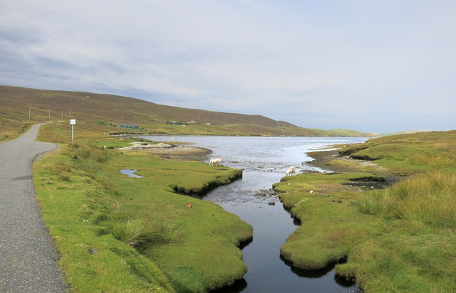
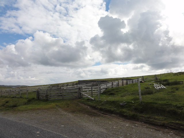
Visitors to Quee Ness can explore the headland by following a network of walking trails that wind through the surrounding countryside. These trails offer breathtaking views of the coastline and provide opportunities for nature enthusiasts to observe the diverse flora and fauna that thrive in this rugged coastal environment.

In summary, Quee Ness is a captivating headland on the Shetland Islands, boasting stunning cliffs, diverse wildlife, and a rich historical heritage. It is a must-visit destination for anyone seeking to experience the untamed beauty of the Scottish coast.

If you have any feedback on the listing, please let us know in the comments section below.
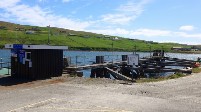
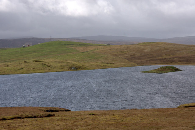
Quee Ness Images

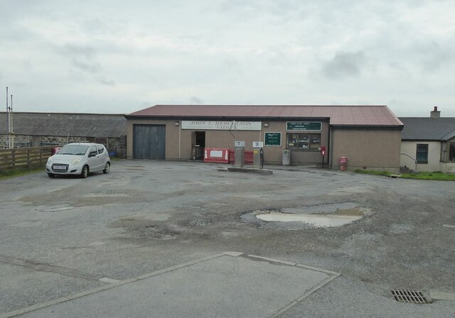
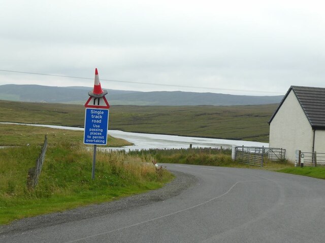
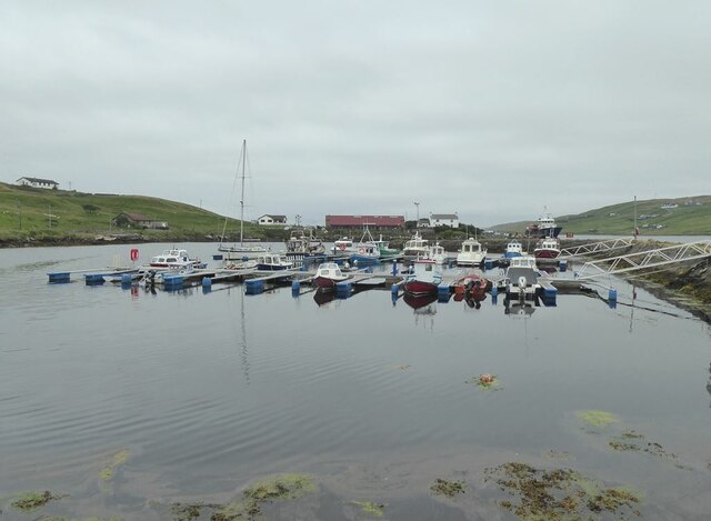
Images are sourced within 2km of 60.372916/-1.1307114 or Grid Reference HU4865. Thanks to Geograph Open Source API. All images are credited.

Village store and filling station The trading premises of John I Herculson of Vidlin.
Village store and filling station
The trading premises of John I Herculson of Vidlin.
The road to Laxo B9071 at Vidlin. Kirkhouse Loch in the background.
The road to Laxo
B9071 at Vidlin. Kirkhouse Loch in the background.
Vidlin Marina The most distant boat, moored outside the Marina in Vidlin Voe, appears to be the Out Skerries ferry.
Vidlin Marina
The most distant boat, moored outside the Marina in Vidlin Voe, appears to be the Out Skerries ferry.
The road past Grunna Voe
Fish farm in Vidlin Voe The fish farm in Vidlin Voe appears to include a very substantial building.
Fish farm in Vidlin Voe
The fish farm in Vidlin Voe appears to include a very substantial building.
Causeway to Gillsbreck Road linking Vidlin with Gillsbreck and other townships on the east side of Vilin Voe.
Causeway to Gillsbreck
Road linking Vidlin with Gillsbreck and other townships on the east side of Vilin Voe.
MV Filla at Quee Ness The Outskerries ferry moored at Vidlin.
MV Filla at Quee Ness
The Outskerries ferry moored at Vidlin.
Grunna Voe
Grunna Voe
Stream flowing into Grunna Voe
Vidlin Public Hall The year 1910 is on the wall above the left hand window.
Vidlin Public Hall
The year 1910 is on the wall above the left hand window.
Vidlin road bridge Small bridge over the estuary at Vidlin
Vidlin road bridge
Small bridge over the estuary at Vidlin
Harbour at Vidlin Harbour at Vidlin with the Church and Marina.
Harbour at Vidlin
Harbour at Vidlin with the Church and Marina.
Sheep pens Sheep pens at Vidlin
Sheep pens
Sheep pens at Vidlin
Grunna Voe View from the road across Grunna Voe
Grunna Voe
View from the road across Grunna Voe
The marina at Vidlin Shetlanders are described as 'fishermen with crofts' whereas Orkadians are 'farmers with a boat'.  On Shetland there are boats everywhere and there has been heavy investment in marinas and safe harbours.  There must be more boats per head of population in Shetland than anywhere else in the UK.
The marina at Vidlin
Shetlanders are described as 'fishermen with crofts' whereas Orkadians are 'farmers with a boat'. On Shetland there are boats everywhere and there has been heavy investment in marinas and safe harbours. There must be more boats per head of population in Shetland than anywhere else in the UK.
Quee Ness Pier This is the Shetland Mainland base for the daily ferry to Out Skerries;  another ferry runs twice a week to Out Skerries from Lerwick.
Quee Ness Pier
This is the Shetland Mainland base for the daily ferry to Out Skerries; another ferry runs twice a week to Out Skerries from Lerwick.
Burga Water, Vidlin The island has a broch on it.
Burga Water, Vidlin
The island has a broch on it.
Show me another place!

Quee Ness is located at Grid Ref: HU4865 (Lat: 60.372916, Lng: -1.1307114)

Unitary Authority: Shetland Islands

Police Authority: Highlands and Islands

What 3 Words

///emotional.entertainer.situates. Near Vidlin, Shetland Islands

Related Wikis

Vidlin

Vidlin (from Old Norse: VaĆ°ill meaning a ford) is a small village located on Mainland, Shetland, Scotland. The settlement is within the parish of Nesting...

Lunna House

Lunna House is a 17th-century laird's house on Lunna Ness in the Shetland Islands. Lunna House is noted for having "the best historic designed landscape...

Laxo

Laxo is a small settlement at the end of Laxo Voe in Vidlin, Shetland, Scotland. A ferry from the Mainland to Symbister in Whalsay operates from the nearby...

Little Linga

Little Linga is a small island in the Shetland Islands. It is near West Linga and Vidlin on Mainland, Shetland. It is 20 metres (66 ft) at its highest...

West Linga

West Linga is an uninhabited island located between Mainland and Whalsay in Shetland, Scotland. == Geography and geology == West Linga is a long narrow...

Billister

Billister is a settlement in the parish of Nesting, on the island of Mainland, in Shetland, Scotland. It is on Lax Firth. Billister was formerly the terminal...

Lunna Ness

Lunna Ness is a peninsula in the north east of Mainland, Shetland, Scotland , in the parish of Lunnasting near Vidlin. The island of Lunna Holm is nearby...

Skate of Marrister

The Skate of Marrister is a flat ledge that extends about 300 yards (270 m) from the western shore of Whalsay, in the Shetland islands of Scotland. It...

Nearby Amenities

Located within 500m of 60.372916,-1.1307114
Vidlin
Place: village
Lat/Long: 60.3696333/-1.1367636
Ferry Terminal
Lat/Long: 60.3728202/-1.1294243
Leisure: slipway
Lat/Long: 60.3706173/-1.1324207
Generator Source: wind
Power: generator
Lat/Long: 60.3728021/-1.1303426
Toilets
Lat/Long: 60.3729352/-1.1298169
Turning Circle
Lat/Long: 60.3735729/-1.1339039
Barrier: cattle_grid
Lat/Long: 60.3730844/-1.1386884
Johnson Marine
Office: company
Lat/Long: 60.3693706/-1.1289031
Grading Systems (UK) ltd
Office: company
Lat/Long: 60.3693291/-1.1286526
Power: pole
Lat/Long: 60.3765198/-1.1345767
Power: pole
Lat/Long: 60.3758167/-1.1350198
Power: pole
Lat/Long: 60.3751354/-1.1354434
Power: pole
Lat/Long: 60.3744952/-1.13584
Power: pole
Lat/Long: 60.373884/-1.1350517
Power: pole
Lat/Long: 60.3733067/-1.1343319
Power: pole
Lat/Long: 60.3726895/-1.1336856
Power: pole
Lat/Long: 60.3721836/-1.1340528
Power: pole
Lat/Long: 60.3716051/-1.1344861
Power: pole
Lat/Long: 60.3710507/-1.1348876
Power: pole
Lat/Long: 60.3705145/-1.1352916
Power: pole
Lat/Long: 60.3699832/-1.1362366
Power: pole
Lat/Long: 60.3720795/-1.1336464
Power: pole
Lat/Long: 60.3719161/-1.1329756
Power: pole
Lat/Long: 60.3712795/-1.1341042
The data included in this document is from www.openstreetmap.org. The data is made available under ODbL.

Have you been to Quee Ness?

Leave your review of Quee Ness below (or comments, questions and feedback).