Ness of Setter
Coastal Feature, Headland, Point in Shetland
Scotland
Ness of Setter
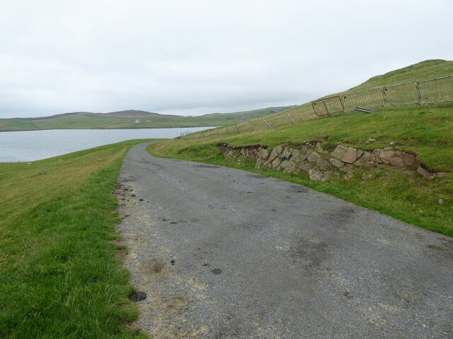
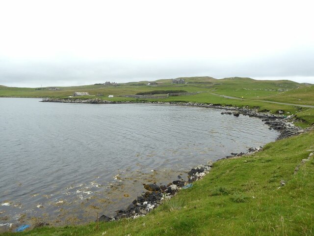
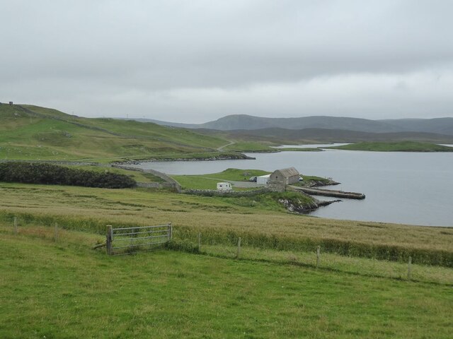
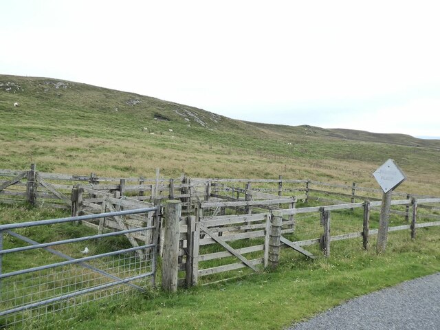
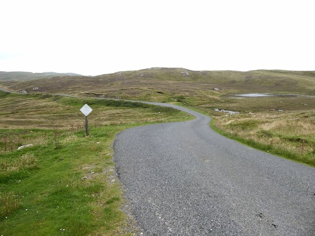
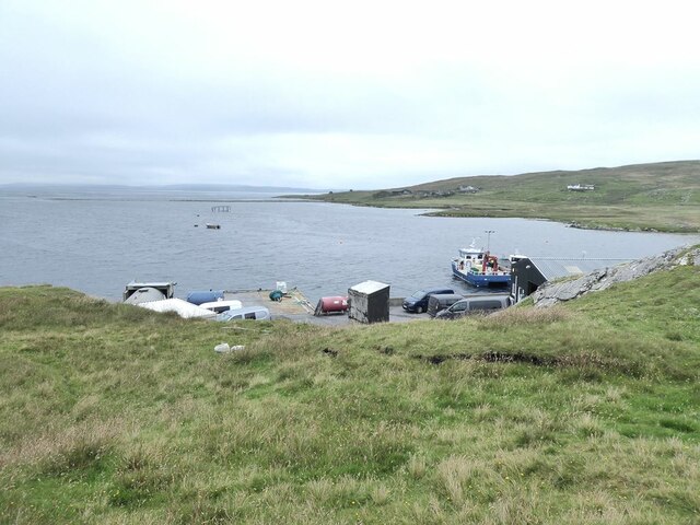
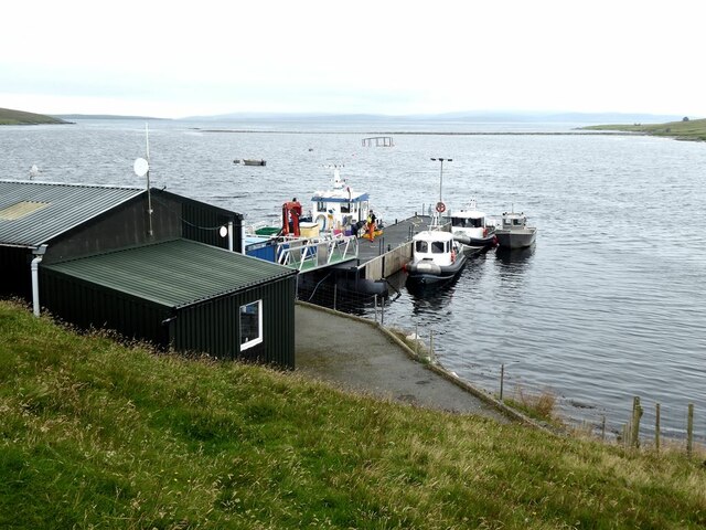
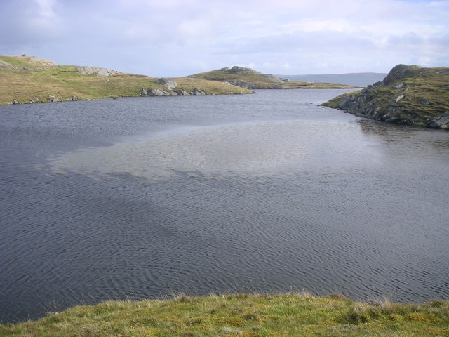
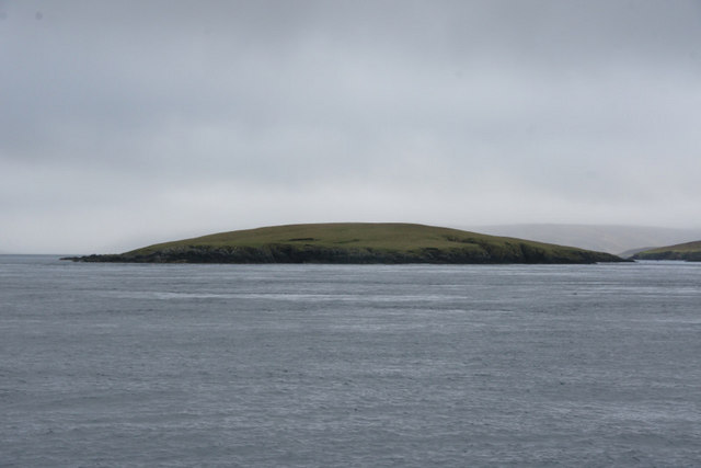
Ness of Setter is a prominent coastal feature located in the Shetland Islands, Scotland. It is a headland that extends into the North Sea, forming a distinctive point along the rugged coastline. The headland is situated on the western side of the island of Unst, which is the northernmost inhabited island in the United Kingdom.
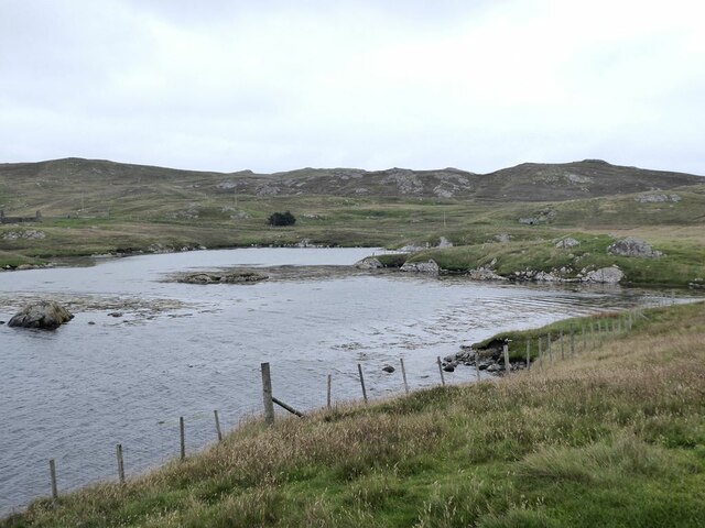
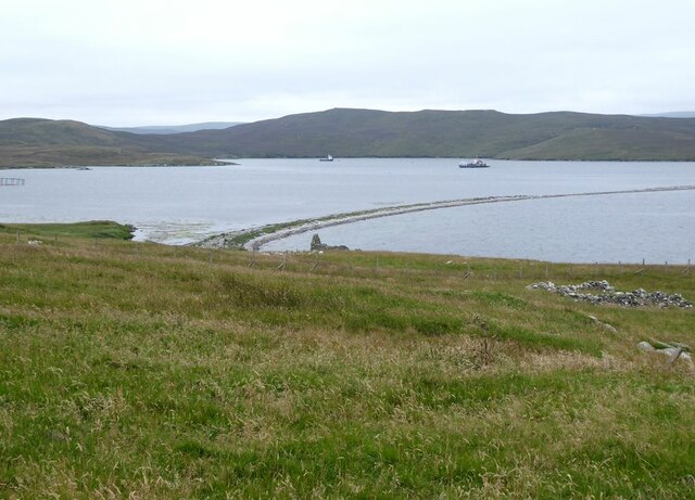
Ness of Setter is characterized by its dramatic cliffs, which rise sharply from the sea, reaching heights of up to 100 meters (330 feet). The cliffs are composed of sedimentary rocks, primarily sandstone and shale, which display stunning layers and colors. The headland offers breathtaking panoramic views of the surrounding seascape, with the North Sea stretching out as far as the eye can see.
The area surrounding Ness of Setter is rich in biodiversity, attracting a diverse array of bird species. The headland serves as an important nesting site for seabirds such as puffins, razorbills, and guillemots. During the nesting season, the cliffs are teeming with activity as these birds gather in large numbers.
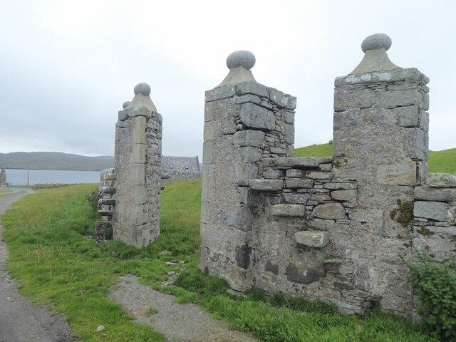
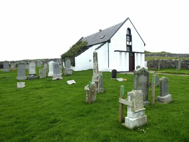
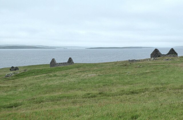
Ness of Setter is also home to several archaeological sites, including a prehistoric fort known as the "Broch of Setter." This ancient structure, estimated to be over 2,000 years old, provides a glimpse into the island's history and the lives of its early inhabitants.
Overall, Ness of Setter is a captivating coastal feature that offers both stunning natural beauty and historical significance. It is a must-visit destination for nature lovers, birdwatchers, and those interested in exploring the rich heritage of the Shetland Islands.
If you have any feedback on the listing, please let us know in the comments section below.
Ness of Setter Images
Images are sourced within 2km of 60.414564/-1.1230462 or Grid Reference HU4870. Thanks to Geograph Open Source API. All images are credited.

Ness of Setter is located at Grid Ref: HU4870 (Lat: 60.414564, Lng: -1.1230462)
Unitary Authority: Shetland Islands
Police Authority: Highlands and Islands
What 3 Words
///revolting.string.wizards. Near Vidlin, Shetland Islands
Nearby Locations
Related Wikis

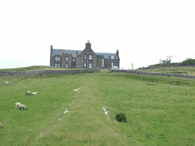
Lunna House
Lunna House is a 17th-century laird's house on Lunna Ness in the Shetland Islands. Lunna House is noted for having "the best historic designed landscape...

Lunna Ness
Lunna Ness is a peninsula in the north east of Mainland, Shetland, Scotland , in the parish of Lunnasting near Vidlin. The island of Lunna Holm is nearby...
Linga, Yell Sound
Linga is one of the Shetland Islands, in Yell Sound. == Geography and geology == Linga is an extremely common name in Shetland, meaning heather island...
Fish Holm
Fish Holm is a small island, 1.5 miles (2.4 km) east of Mainland, Shetland. It is near the village of Mossbank. It is 20 metres (66 ft) at its highest...

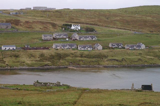
Vidlin
Vidlin (from Old Norse: Vaðill meaning a ford) is a small village located on Mainland, Shetland, Scotland. The settlement is within the parish of Nesting...
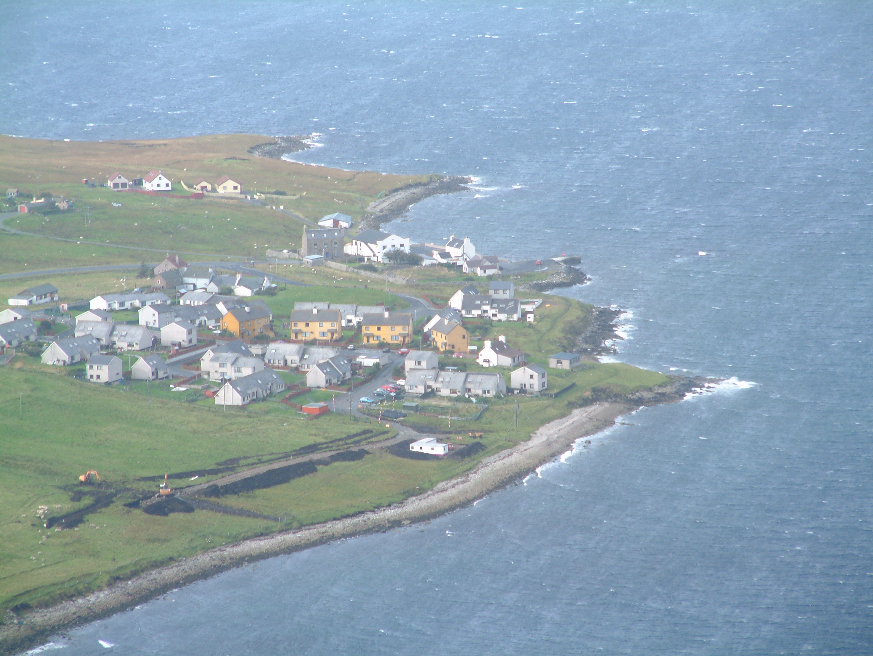
Firth, Shetland
Note: "Firth" is a common name for sounds in ShetlandFirth is a village in the north east of Mainland, Shetland, Scotland, in the parish of Delting, not...
Mossbank, Shetland
Mossbank is a village in the north east of the Mainland of Shetland, Scotland. Originally served by an inter island ferry steamer from Lerwick, this ceased...

Samphrey
Samphrey (Scots: Samphrey; Old Norse: Sandfriðarey) is an uninhabited island in the Shetland Islands, Scotland. One of Fair Isle's old names is "Friðarey...
Have you been to Ness of Setter?
Leave your review of Ness of Setter below (or comments, questions and feedback).