Lunnasting

Settlement in Shetland

Scotland

Lunnasting

Village store and filling station The trading premises of John I Herculson of Vidlin.
Village store and filling station Credit: Oliver Dixon

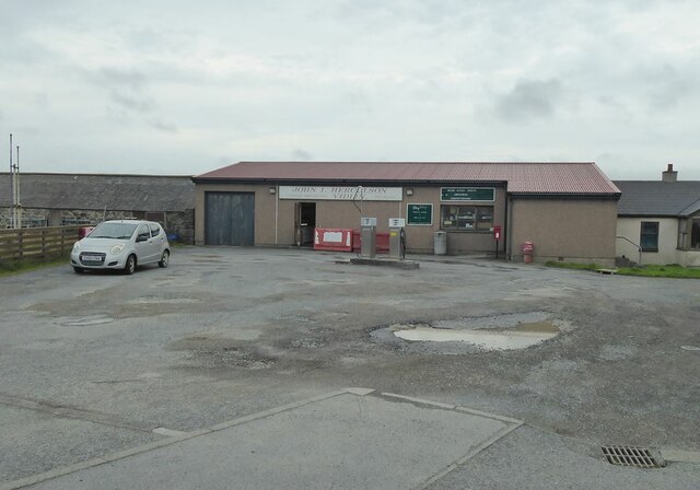
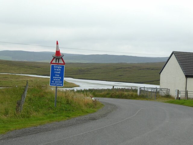
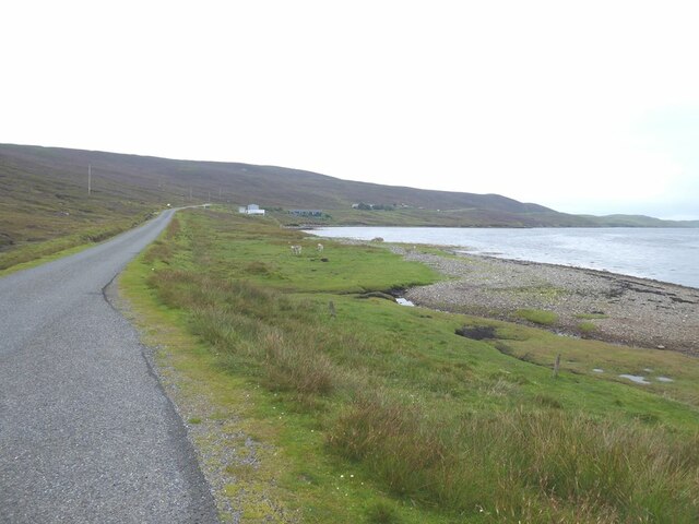
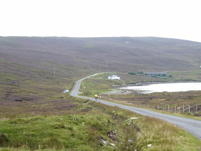
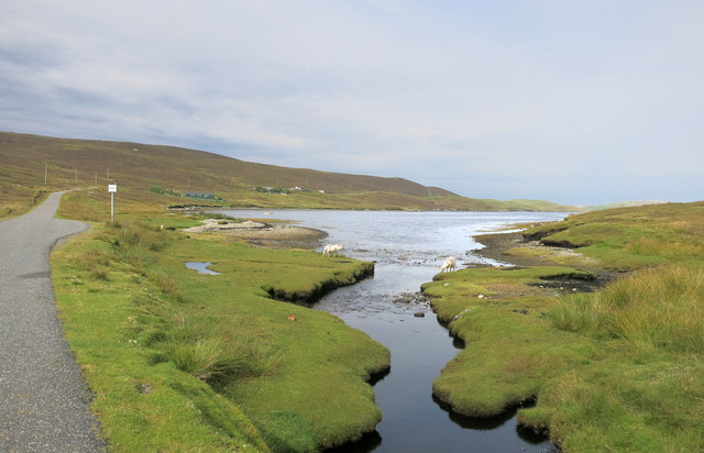
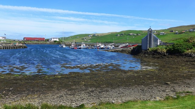
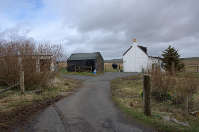
Lunnasting is a small rural settlement located in the parish of Nesting, within the Shetland Islands of Scotland. Situated on the eastern coast of the mainland, Lunnasting offers picturesque views of rugged cliffs, rolling hills, and the North Sea.

The village is home to a tight-knit community, with a population of around 200 people. Lunnasting has a rich history, with archaeological evidence suggesting human activity in the area dating back thousands of years. The remains of ancient settlements, including brochs and iron age villages, can still be found in the surrounding countryside.

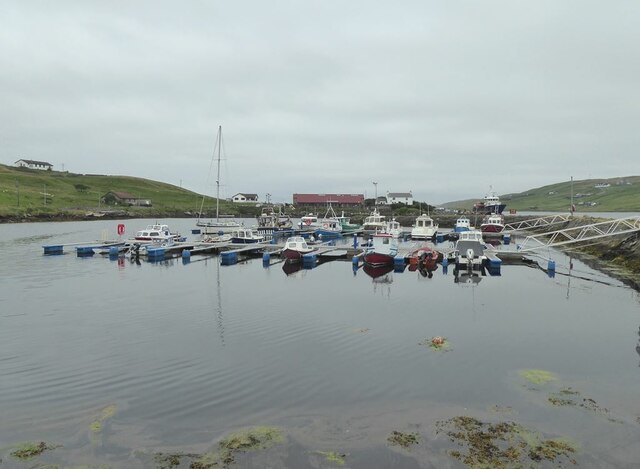
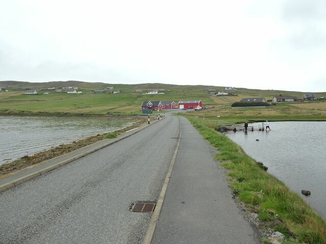
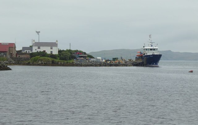
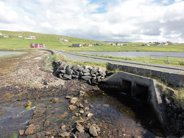
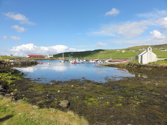
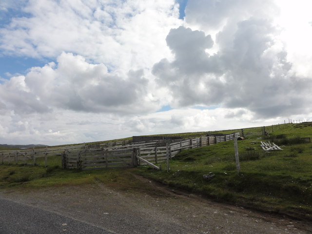
The economy of Lunnasting is primarily based on agriculture and fishing. The fertile land allows for the cultivation of crops, and sheep farming is also common in the area. The waters around Lunnasting are abundant with various species of fish, making it an ideal location for fishermen.

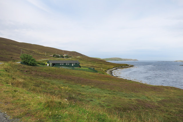
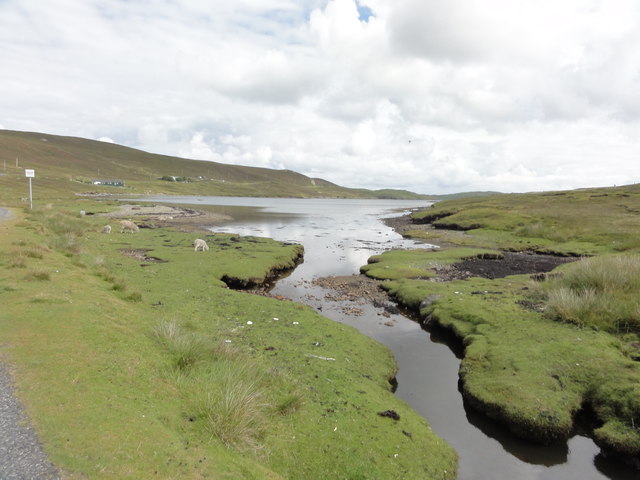
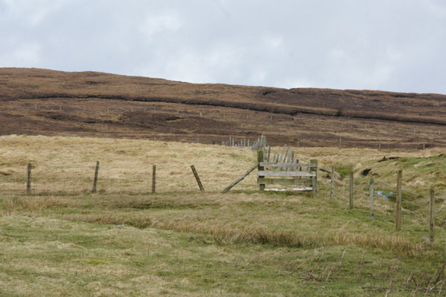
Lunnasting offers a tranquil and peaceful environment, attracting nature lovers and outdoor enthusiasts. The surrounding landscape provides ample opportunities for hiking, birdwatching, and wildlife spotting. The nearby Loch of Lunnasting is a popular spot for fishing, as well as a haven for birdlife.

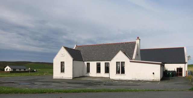
Although small, Lunnasting has a strong sense of community spirit, with various local events and gatherings throughout the year. The village is served by a primary school and a community hall, which hosts social events and activities.

Overall, Lunnasting is a charming village that offers a glimpse into the rich history, natural beauty, and close-knit community of the Shetland Islands.

If you have any feedback on the listing, please let us know in the comments section below.

Lunnasting Images

Images are sourced within 2km of 60.366143/-1.131635 or Grid Reference HU4865. Thanks to Geograph Open Source API. All images are credited.

Village store and filling station The trading premises of John I Herculson of Vidlin.
Village store and filling station
The trading premises of John I Herculson of Vidlin.
The road to Laxo B9071 at Vidlin. Kirkhouse Loch in the background.
The road to Laxo
B9071 at Vidlin. Kirkhouse Loch in the background.
Vidlin Marina The most distant boat, moored outside the Marina in Vidlin Voe, appears to be the Out Skerries ferry.
Vidlin Marina
The most distant boat, moored outside the Marina in Vidlin Voe, appears to be the Out Skerries ferry.
The road past Grunna Voe
Causeway to Gillsbreck Road linking Vidlin with Gillsbreck and other townships on the east side of Vilin Voe.
Causeway to Gillsbreck
Road linking Vidlin with Gillsbreck and other townships on the east side of Vilin Voe.
MV Filla at Quee Ness The Outskerries ferry moored at Vidlin.
MV Filla at Quee Ness
The Outskerries ferry moored at Vidlin.
Grunna Voe
Grunna Voe
Stream flowing into Grunna Voe
Vidlin Public Hall The year 1910 is on the wall above the left hand window.
Vidlin Public Hall
The year 1910 is on the wall above the left hand window.
Vidlin road bridge Small bridge over the estuary at Vidlin
Vidlin road bridge
Small bridge over the estuary at Vidlin
Harbour at Vidlin Harbour at Vidlin with the Church and Marina.
Harbour at Vidlin
Harbour at Vidlin with the Church and Marina.
Sheep pens Sheep pens at Vidlin
Sheep pens
Sheep pens at Vidlin
Grunna Voe View from the road across Grunna Voe
Grunna Voe
View from the road across Grunna Voe
The marina at Vidlin Shetlanders are described as 'fishermen with crofts' whereas Orkadians are 'farmers with a boat'.  On Shetland there are boats everywhere and there has been heavy investment in marinas and safe harbours.  There must be more boats per head of population in Shetland than anywhere else in the UK.
The marina at Vidlin
Shetlanders are described as 'fishermen with crofts' whereas Orkadians are 'farmers with a boat'. On Shetland there are boats everywhere and there has been heavy investment in marinas and safe harbours. There must be more boats per head of population in Shetland than anywhere else in the UK.
Quee Ness Pier This is the Shetland Mainland base for the daily ferry to Out Skerries;  another ferry runs twice a week to Out Skerries from Lerwick.
Quee Ness Pier
This is the Shetland Mainland base for the daily ferry to Out Skerries; another ferry runs twice a week to Out Skerries from Lerwick.
Moren, near Vidlin
Moren, near Vidlin
Slopes of the Hill of Vidlin From the house at Moren.
Slopes of the Hill of Vidlin
From the house at Moren.
Show me another place!

Lunnasting is located at Grid Ref: HU4865 (Lat: 60.366143, Lng: -1.131635)

Unitary Authority: Shetland Islands

Police Authority: Highlands and Islands

What 3 Words

///sway.buzzards.campfires. Near Vidlin, Shetland Islands

Related Wikis

Vidlin

Vidlin (from Old Norse: VaĆ°ill meaning a ford) is a small village located on Mainland, Shetland, Scotland. The settlement is within the parish of Nesting...

Laxo

Laxo is a small settlement at the end of Laxo Voe in Vidlin, Shetland, Scotland. A ferry from the Mainland to Symbister in Whalsay operates from the nearby...

Lunna House

Lunna House is a 17th-century laird's house on Lunna Ness in the Shetland Islands. Lunna House is noted for having "the best historic designed landscape...

Little Linga

Little Linga is a small island in the Shetland Islands. It is near West Linga and Vidlin on Mainland, Shetland. It is 20 metres (66 ft) at its highest...

Billister

Billister is a settlement in the parish of Nesting, on the island of Mainland, in Shetland, Scotland. It is on Lax Firth. Billister was formerly the terminal...

West Linga

West Linga is an uninhabited island located between Mainland and Whalsay in Shetland, Scotland. == Geography and geology == West Linga is a long narrow...

Skate of Marrister

The Skate of Marrister is a flat ledge that extends about 300 yards (270 m) from the western shore of Whalsay, in the Shetland islands of Scotland. It...

Linga Sound, Shetland

Linga Sound is the strait between the islands of Whalsay and West Linga in the Shetland islands of Scotland. The sound has a depth of 11 to 12 fathoms...

Nearby Amenities

Located within 500m of 60.366143,-1.131635
Barrier: cattle_grid
Lat/Long: 60.3620902/-1.1277944
Vidlin
Place: village
Lat/Long: 60.3696333/-1.1367636
Leisure: slipway
Lat/Long: 60.3706173/-1.1324207
Generator Source: wind
Power: generator
Lat/Long: 60.3662407/-1.1396921
Johnson Marine
Office: company
Lat/Long: 60.3693706/-1.1289031
Grading Systems (UK) ltd
Office: company
Lat/Long: 60.3693291/-1.1286526
Bus Stop
Bus: yes
Public Transport: platform
Shelter: yes
Lat/Long: 60.3654756/-1.1295874
Turning Circle
Lat/Long: 60.368538/-1.1281317
Power: pole
Lat/Long: 60.3634513/-1.138298
Power: pole
Lat/Long: 60.3636171/-1.1368511
Power: pole
Lat/Long: 60.3637358/-1.1358057
Power: pole
Lat/Long: 60.3638714/-1.134611
Power: pole
Lat/Long: 60.3640021/-1.1333893
Power: pole
Lat/Long: 60.364151/-1.1320355
Power: pole
Lat/Long: 60.3642745/-1.1308848
Power: pole
Lat/Long: 60.3644137/-1.1296485
Power: pole
Lat/Long: 60.3645868/-1.1281355
Power: pole
Lat/Long: 60.3649585/-1.1276948
Power: pole
Lat/Long: 60.3654149/-1.1271709
Power: pole
Lat/Long: 60.3658591/-1.126669
Power: pole
Lat/Long: 60.3663349/-1.1261231
Power: pole
Lat/Long: 60.3669123/-1.1254571
Power: pole
Lat/Long: 60.3673977/-1.124899
Power: pole
Lat/Long: 60.3677572/-1.1244852
Power: pole
Lat/Long: 60.3675599/-1.1261647
Power: pole
Lat/Long: 60.3677366/-1.1275381
Power: pole
Lat/Long: 60.3666992/-1.1405895
Power: pole
Lat/Long: 60.3673021/-1.1403325
Power: pole
Lat/Long: 60.3683624/-1.1392381
Power: pole
Lat/Long: 60.3689555/-1.1381756
Power: pole
Lat/Long: 60.3699832/-1.1362366
Power: pole
Lat/Long: 60.3694518/-1.1372306
The data included in this document is from www.openstreetmap.org. The data is made available under ODbL.

Have you been to Lunnasting?

Leave your review of Lunnasting below (or comments, questions and feedback).