Northern Ness
Coastal Feature, Headland, Point in Shetland
Scotland
Northern Ness

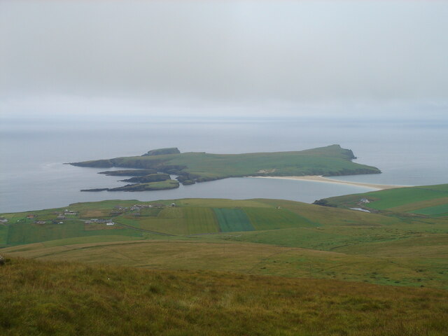
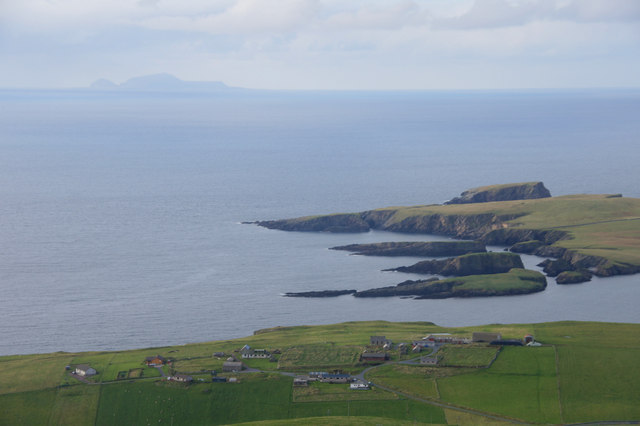
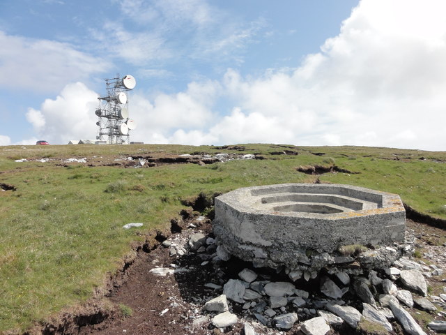
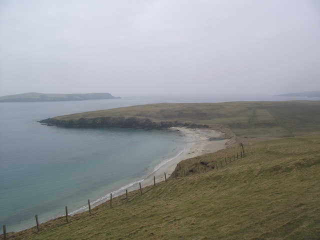
Northern Ness is a prominent coastal feature located in the Shetland Islands, Scotland. It is classified as a headland, also known as a point, due to its distinctive geographical characteristics and its position extending out into the sea. Situated at the northernmost tip of the Shetland mainland, Northern Ness is surrounded by the North Atlantic Ocean, offering breathtaking views of the open water.
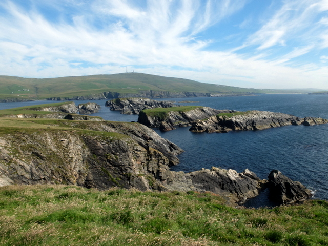
The headland is characterized by its rugged and rocky terrain, with cliff faces that rise steeply from the crashing waves below. The coastline is indented with small coves and natural arches, adding to its dramatic beauty. The cliffs are formed by layers of sedimentary rock, showcasing the geological history of the area.
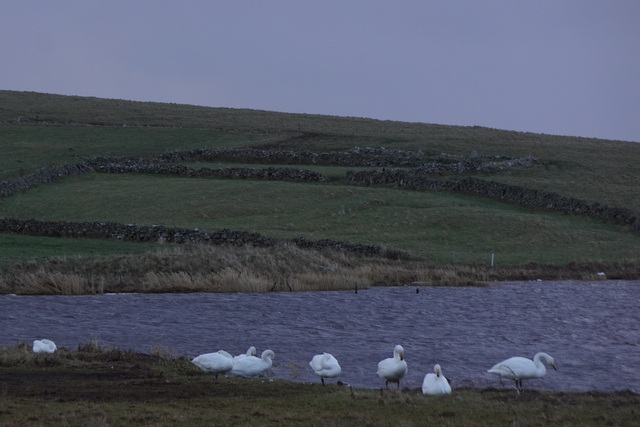
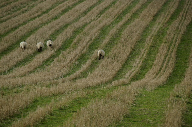
Northern Ness is a haven for wildlife, attracting numerous seabirds including puffins, guillemots, and razorbills. The surrounding waters are home to seals, dolphins, and occasionally even orcas. Birdwatchers and nature enthusiasts flock to this area to observe the diverse range of fauna that thrives in this unique ecosystem.
The headland is a popular destination for outdoor activities such as hiking and photography. There are well-marked trails that lead visitors along the clifftops, offering breathtaking panoramic views of the surrounding landscape. The rugged coastal scenery and the crashing waves make it a popular spot for photographers seeking to capture the dramatic beauty of Northern Ness.
Overall, Northern Ness is a striking and captivating headland in the Shetland Islands, offering visitors a unique blend of dramatic coastal landscapes, diverse wildlife, and opportunities for outdoor exploration.
If you have any feedback on the listing, please let us know in the comments section below.
Northern Ness Images
Images are sourced within 2km of 59.947686/-1.3422772 or Grid Reference HU3618. Thanks to Geograph Open Source API. All images are credited.


Northern Ness is located at Grid Ref: HU3618 (Lat: 59.947686, Lng: -1.3422772)
Unitary Authority: Shetland Islands
Police Authority: Highlands and Islands
What 3 Words
///dragon.discloses.actors. Near Sandwick, Shetland Islands
Nearby Locations
Related Wikis

Colsay
Colsay is an uninhabited island off the South West coast of Mainland, Shetland. Fora Ness lies to the south, across the Muckle Sound. The highest elevation...

Scousburgh
Scousburgh is a small community in the parish of Dunrossness, in the South Mainland of Shetland, Scotland, overlooking the picturesque Scousburgh Sand...

Lochs of Spiggie and Brow
The Lochs of Spiggie and Brow are located west of Boddam in the parish of Dunrossness, in the South Mainland of Shetland, Scotland, about 6 km north of...

Dunrossness
Dunrossness, (Old Norse: Dynrastarnes meaning "headland of the loud tide-race", referring to the noise of Sumburgh Roost) is the southernmost parish of...

St Ninian's Isle
St Ninian's Isle is a small tied island connected by the largest tombolo in the UK to the south-western coast of the Mainland, Shetland, in Scotland. It...

Bigton
Bigton is a small settlement on South Mainland, Shetland, UK. Bigton is within the civil parish of Dunrossness.Bigton lies on the Atlantic coast of the...

Clumlie Broch
Clumlie Broch is an Iron Age broch located on Mainland, Shetland, in Scotland (grid reference HU40451811). == Location == Clumlie Broch is located in Dunrossness...

Boddam, Shetland
Boddam is a village on the island of Mainland, in Shetland, Scotland. Boddam is an area of Dunrossness in the South Mainland of Shetland. Although Boddam...
Related Videos
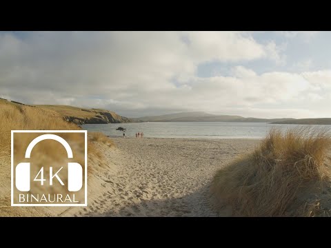
Beach walk in Shetland at St Ninians - Largest Tombolo in the UK
A walk on the largest tombolo in the UK around golden hour. It connects the South-Western coast of Shetland to St Ninian's isle.
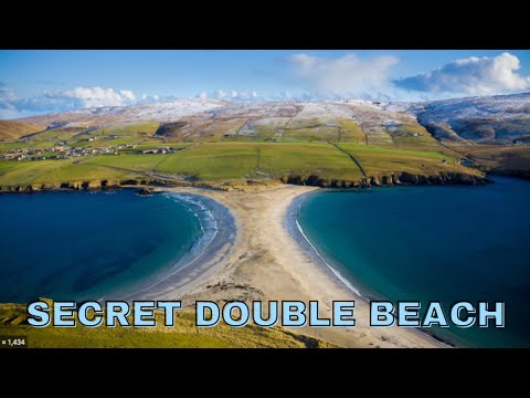
Touring Shetlands St. Ninions Isles Beach 2022 | Double Beach.
Visiting St. Ninion Isles Double beach, out of this world spot, Enjoy! Mankind Malik give you a fresher look at the world of travel win ...

Sammy’s Beach Day
A lot of people don't believe me when I tell them I do pretty much the same things when I'm not working as when I'm out on tour.

Spiggie Beach
SFA20200004.8 Synopsis: Most of this footage was recorded by John Irvine, with some additional filming by his brother Derek.
Have you been to Northern Ness?
Leave your review of Northern Ness below (or comments, questions and feedback).