Grobs Ness
Coastal Feature, Headland, Point in Shetland
Scotland
Grobs Ness
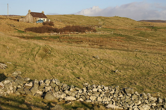
Grobs Ness is a prominent coastal feature located on the island of Shetland, Scotland. It is classified as a headland, also known as a point or promontory, which is a narrow strip of land that juts out into the sea.
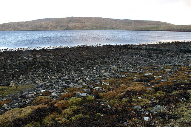
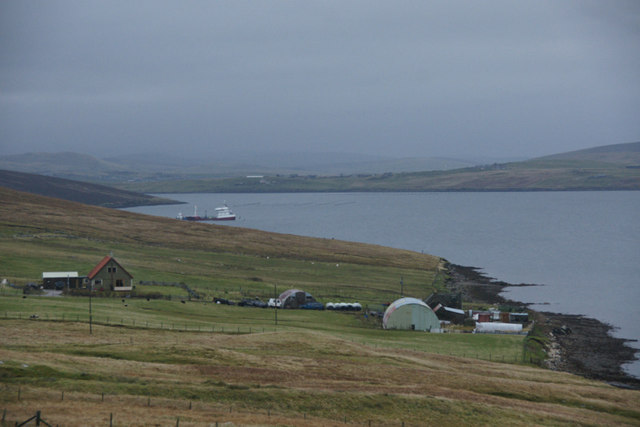
Situated on the eastern coast of Shetland, Grobs Ness is known for its rugged and dramatic cliffs that overlook the North Sea. The headland stretches approximately 2 kilometers (1.2 miles) in length and is composed of sedimentary rocks, primarily sandstone and shale. These rocks have been shaped and eroded by the relentless action of the waves, creating stunning geological formations and sea caves along the coastline.
The landscape at Grobs Ness is characterized by steep cliffs that rise up to 50 meters (164 feet) in height. These cliffs provide nesting sites for various seabird species, including puffins, guillemots, and razorbills. The headland also serves as an important stopover point for migratory birds during their journeys.
In addition to its natural beauty, Grobs Ness has historical significance. Ruins of an ancient settlement dating back to the Iron Age can be found on the headland, indicating human occupation in the area for thousands of years. These archaeological remains offer insights into the lives and activities of the people who once called Grobs Ness home.
Overall, Grobs Ness is a captivating coastal feature that combines stunning natural scenery with a rich historical heritage. It is a popular destination for nature enthusiasts, birdwatchers, and those interested in exploring Shetland's ancient past.
If you have any feedback on the listing, please let us know in the comments section below.
Grobs Ness Images
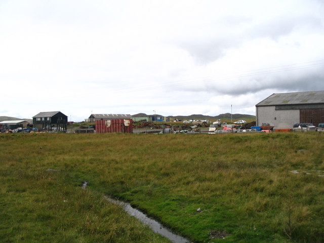
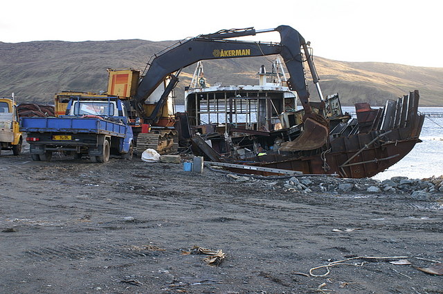
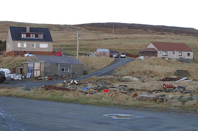
Images are sourced within 2km of 60.356627/-1.3346777 or Grid Reference HU3663. Thanks to Geograph Open Source API. All images are credited.


Grobs Ness is located at Grid Ref: HU3663 (Lat: 60.356627, Lng: -1.3346777)
Unitary Authority: Shetland Islands
Police Authority: Highlands and Islands
What 3 Words
///ballparks.funds.opened. Near Brae, Shetland Islands
Nearby Locations
Related Wikis

Linga, Busta Voe
Linga is a small, uninhabited island, 1 km (0.62 mi) east of Muckle Roe in the Shetland Islands. The island is roughly circular in shape and its highest...

Shetland
Shetland, also called the Shetland Islands and formerly Zetland, is an archipelago in Scotland lying between Orkney, the Faroe Islands, and Norway. It...
Busta Voe
Busta Voe, (HU665350), in the north central Mainland, Shetland, is a sea inlet lying between the village of Brae and the island of Muckle Roe. At the head...
Voe, Delting
Voe is a village in Delting parish on Mainland, Shetland, Scotland. It is one of the three main settlements in Delting. It is at the junction of the A968...
Papa Little
Papa Little (Scots: Papa Little; Old Norse: Papey Litla, meaning "the little island of the priests") is an island in St Magnus Bay, Shetland, Scotland...

Brae
"Brae" is also the Lowland Scots language word for the slope or brow of a hill.Brae (Old Norse: Breiðeið, meaning "the wide isthmus") is a village on the...

Muckle Roe
Muckle Roe is an island in Shetland, Scotland, in St. Magnus Bay, to the west of Mainland. It has a population of around 130 people, who mainly croft and...

Mavis Grind
Mavis Grind (Old Norse: Mæfeiðs grind or Mæveiðs grind, meaning "gate of the narrow isthmus") is a narrow isthmus joining the Northmavine peninsula to...
Nearby Amenities
Located within 500m of 60.356627,-1.3346777Have you been to Grobs Ness?
Leave your review of Grobs Ness below (or comments, questions and feedback).