Garth
Settlement in Caernarfonshire
Wales
Garth

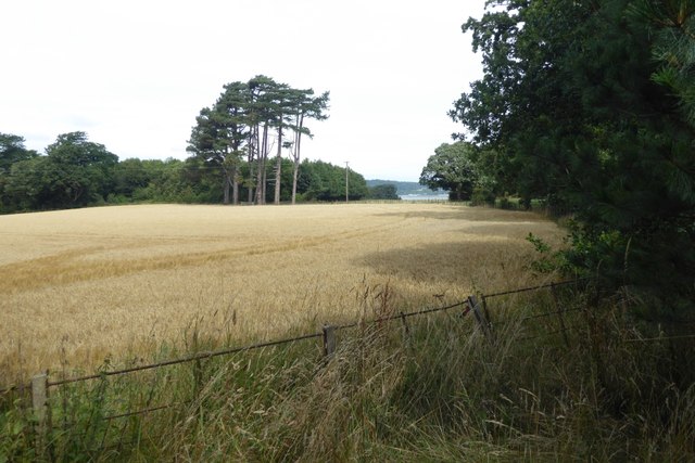
Garth is a small village located in the county of Caernarfonshire, in northwestern Wales. Situated near the Snowdonia National Park, Garth is known for its picturesque landscapes and rural charm. The village is surrounded by rolling hills and lush green fields, providing a tranquil setting for residents and visitors alike.
Garth is home to a close-knit community of approximately 500 people, who take pride in their village and its heritage. The architecture in Garth is predominantly traditional Welsh, with many stone cottages and farmhouses dotting the landscape. The village also boasts a number of historic buildings, including a medieval church and a local pub that has been serving residents for generations.
Despite its small size, Garth offers a range of amenities for residents, including a primary school, village hall, and a few small shops and businesses. The village is well-connected to the surrounding area by road, making it easy for residents to access nearby towns and cities for work and leisure activities. Overall, Garth is a charming and peaceful village that offers a taste of traditional Welsh life in a beautiful rural setting.
If you have any feedback on the listing, please let us know in the comments section below.
Garth Images
Images are sourced within 2km of 53.235791/-4.124016 or Grid Reference SH5873. Thanks to Geograph Open Source API. All images are credited.


Garth is located at Grid Ref: SH5873 (Lat: 53.235791, Lng: -4.124016)
Unitary Authority: Gwynedd
Police Authority: North Wales
What 3 Words
///roughness.hello.mammoth. Near Bangor, Gwynedd
Nearby Locations
Related Wikis

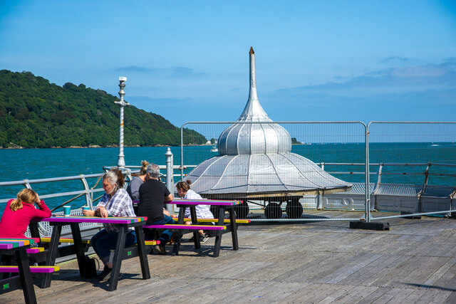
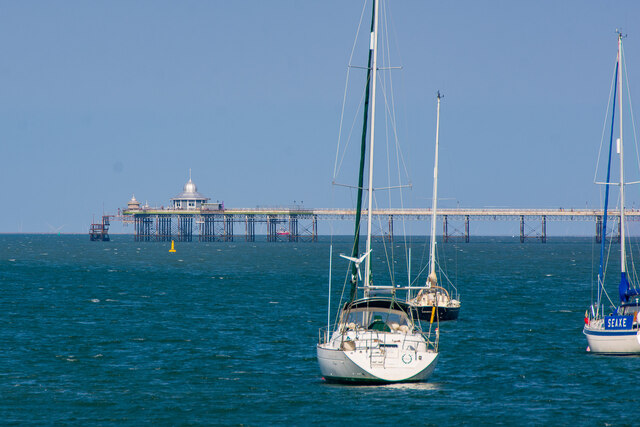
Garth Pier
Garth Pier (Welsh: Pier y Garth; also known as Bangor Pier) is a Grade II listed structure in Bangor, Wales. At 1,500 feet (460 m) in length, it is the...

Bangor Normal College
The Normal College, Bangor (Welsh: Y Coleg Normal) was an independent teacher training college, founded in 1858. It was created through the efforts of...

Port Penrhyn
Port Penrhyn (Welsh: Porth Penrhyn) is a harbour located just east of Bangor in north Wales at the confluence of the River Cegin with the Menai Strait...

Bangor University
Bangor University (Welsh: Prifysgol Bangor) is a public university in Bangor, Wales. It received its Royal Charter in 1885 and was one of the founding...
Nearby Amenities
Located within 500m of 53.235791,-4.124016Have you been to Garth?
Leave your review of Garth below (or comments, questions and feedback).