Garth, Upper

Settlement in Caernarfonshire

Wales

Garth, Upper

Washout valve marker on Siliwen Road, Bangor
Washout valve marker on Siliwen Road, Bangor Credit: Meirion

Garth is a small village located in the county of Upper Caernarfonshire in northwestern Wales. Situated amidst stunning natural beauty, Garth is nestled in the Snowdonia National Park, making it a popular destination for outdoor enthusiasts and nature lovers.

The village is characterized by its picturesque surroundings, with rolling hills, lush greenery, and charming countryside views. It is located just a few miles away from the town of Caernarfon, which offers a range of amenities and services.

Garth is known for its tranquility and peaceful atmosphere, making it an ideal place for those seeking a quiet and idyllic lifestyle. The community is tight-knit and friendly, with a population of around 500 residents. The locals take great pride in preserving the village's heritage and maintaining its natural beauty.

The village is home to a number of historic buildings, including the 12th-century St. Garmon's Church, which stands as a testament to the area's rich history. There are also several traditional cottages and farmhouses that add to the village's charm.

For outdoor activities, Garth offers a range of options. The surrounding area provides numerous walking and hiking trails, allowing visitors to explore the breathtaking landscapes. Additionally, the nearby Snowdonia National Park offers opportunities for mountain climbing, cycling, and birdwatching.

Overall, Garth is a serene and picturesque village that offers a peaceful escape from the hustle and bustle of city life. With its stunning natural surroundings and strong sense of community, it is a place that truly embodies the beauty of rural Wales.

If you have any feedback on the listing, please let us know in the comments section below.
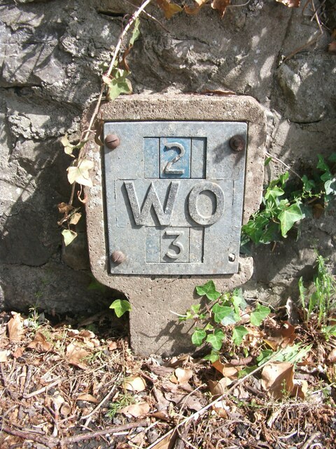
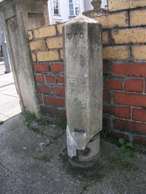
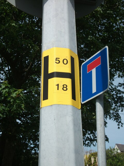
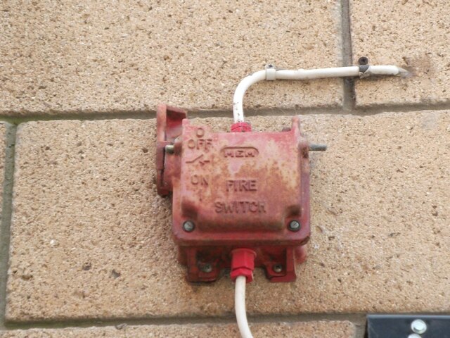
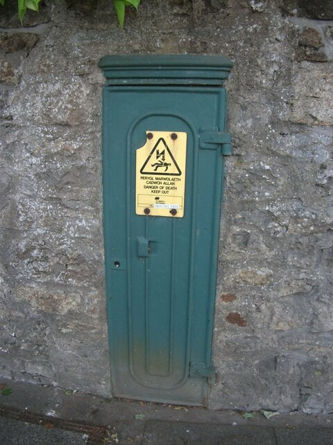
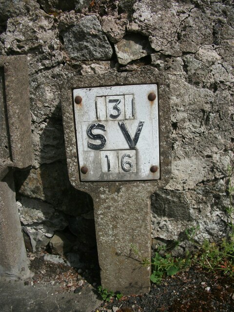
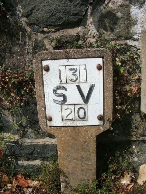
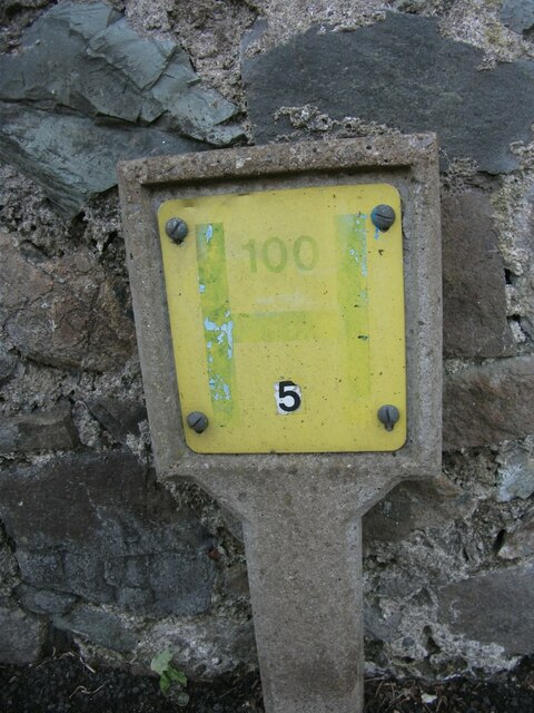
Garth, Upper Images

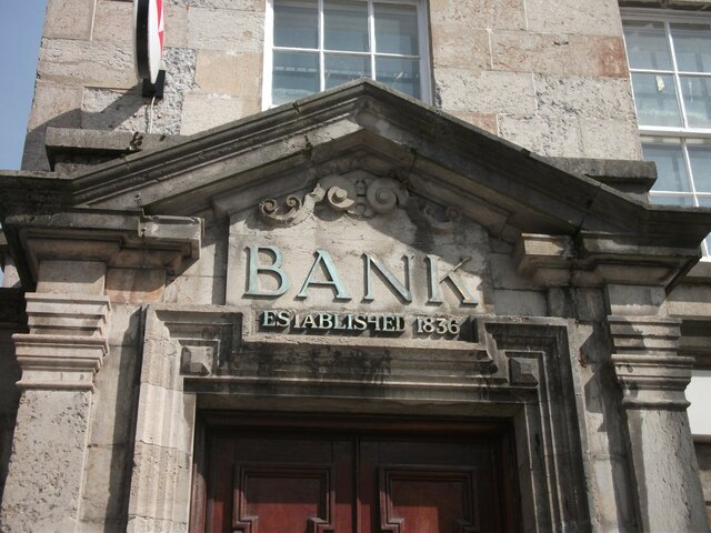
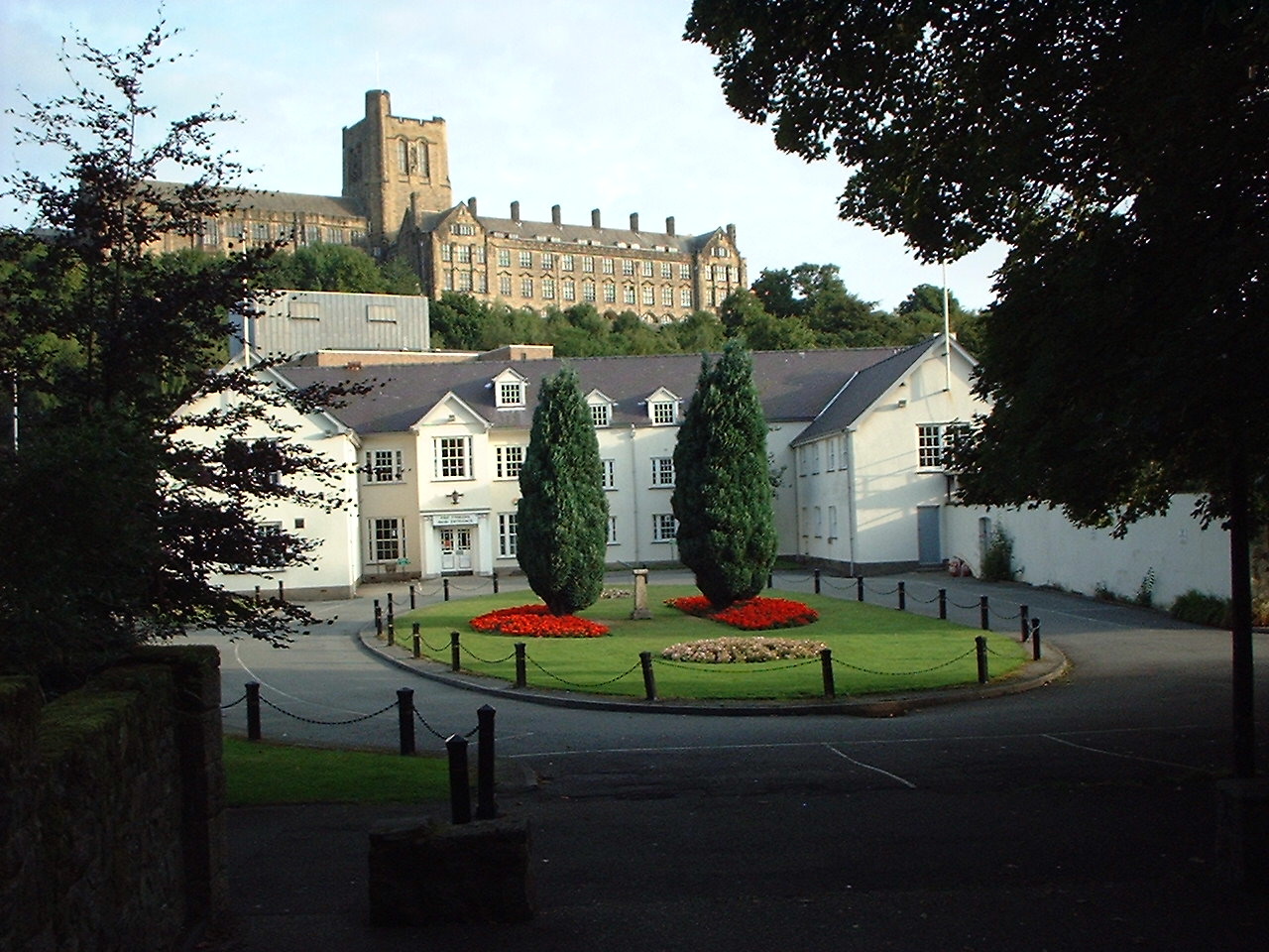
Images are sourced within 2km of 53.234991/-4.1290204 or Grid Reference SH5873. Thanks to Geograph Open Source API. All images are credited.

Washout valve marker on Siliwen Road, Bangor
Damaged GPO Cross Connection Pillar on College Road, Bangor <span class="nowrap"><a title="http://www.ringbell.co.uk/nostalgia/AAS.htm" rel="nofollow ugc noopener" href="http://www.ringbell.co.uk/nostalgia/AAS.htm">Link</a><img style="margin-left:2px;" alt="External link" title="External link - shift click to open in new window" src="https://s1.geograph.org.uk/img/external.png" width="10" height="10"/></span>
Damaged GPO Cross Connection Pillar on College Road, Bangor
Hydrant sticker on Siliwen Road, Bangor
Fire switch on Waterloo Street, Bangor
Old electrical cabinet on Holyhead Road, Bangor
Sluice valve marker on Siliwen Road, Bangor
Hydrant sign on Siliwen Road, Bangor
Hydrant marker on Siliwen Road, Bangor
Bryn y Mor substation on Siliwen Road, Bangor See also: <a href="https://www.geograph.org.uk/photo/6925871">SH5772 : Signs at Bryn y Mor substation on Siliwen Road, Bangor</a>
Bryn y Mor substation on Siliwen Road, Bangor
Signs at Bryn y Mor substation on Siliwen Road, Bangor See also: <a href="https://www.geograph.org.uk/photo/6925870">SH5772 : Bryn y Mor substation on Siliwen Road, Bangor</a>
Signs at Bryn y Mor substation on Siliwen Road, Bangor
Fire switch on Plasllwyd Terrace, Bangor
Hydrant sign on Glanrafon Hill, Bangor
Hydrant sticker on Glanrafon Hill, Bangor
Abandoned Concrete Boat I'm surprised this thing ever floated.
Abandoned Concrete Boat
I'm surprised this thing ever floated.
Hydrant marker on Hill Street, Bangor
King's Arms on the High Street, Bangor
Above the entrance door of the HSBC bank on the High Street, Bangor Established 1836
Above the entrance door of the HSBC bank on the High Street, Bangor
Established 1836
Show me another place!

Garth, Upper is located at Grid Ref: SH5873 (Lat: 53.234991, Lng: -4.1290204)

Unitary Authority: Gwynedd

Police Authority: North Wales

What 3 Words

///escapes.spun.intestine. Near Bangor, Gwynedd

Related Wikis

Garth Pier

Garth Pier (Welsh: Pier y Garth; also known as Bangor Pier) is a Grade II listed structure in Bangor, Wales. At 1,500 feet (460 m) in length, it is the...

Bangor Normal College

The Normal College, Bangor (Welsh: Y Coleg Normal) was an independent teacher training college, founded in 1858. It was created through the efforts of...

Bangor University

Bangor University (Welsh: Prifysgol Bangor) is a public university in Bangor, Wales. It received its Royal Charter in 1885 and was one of the founding...

Bangor, Gwynedd

Bangor (English: ; Welsh: [ˈbaŋɡɔr] ) is a cathedral city and community in Gwynedd, North Wales. It is the oldest city in Wales. Historically part of Caernarfonshire...

Bangor Town Hall

Bangor Town Hall (Welsh: Neuadd y Dref Bangor), formerly The Bishop's Palace (Welsh: Plas yr Esgob), is a municipal building on Ffordd Deiniol, in Bangor...

Bala-Bangor Theological Seminary

Bala-Bangor was a theological seminary belonging to the Welsh Independents (Undeb yr Annibynwyr Cymraeg), an association of Welsh congregationalists....

Bangor Cathedral

Bangor Cathedral (Welsh: Eglwys Gadeiriol Bangor) is the cathedral church of Bangor, Gwynedd, Wales. It is dedicated to its founder, Saint Deiniol. The...

Deiniol (electoral ward)

Deiniol is one of eight electoral wards in the city of Bangor, Gwynedd, Wales, electing councillors to the city and county councils. == Description... ==

Nearby Amenities

Located within 500m of 53.234991,-4.1290204
Source: PGS
Lat/Long: 53.2370498/-4.1223777
Source: PGS
Lat/Long: 53.2370304/-4.1224717
Source: PGS
Lat/Long: 53.2368579/-4.1229884
Source: PGS
Lat/Long: 53.2366035/-4.1240703
Source: PGS
Lat/Long: 53.2364578/-4.124456
Source: PGS
Lat/Long: 53.2359128/-4.1261876
Source: PGS
Lat/Long: 53.2353307/-4.1277928
Source: PGS
Lat/Long: 53.2352541/-4.1280918
Source: PGS
Lat/Long: 53.2350318/-4.1284028
Source: PGS
Lat/Long: 53.2346768/-4.1289578
Source: PGS
Lat/Long: 53.2345487/-4.1294044
Source: PGS
Lat/Long: 53.2343011/-4.1296336
Source: PGS
Lat/Long: 53.2340059/-4.1316051
Source: PGS
Lat/Long: 53.2339179/-4.131843
Source: PGS
Lat/Long: 53.2337967/-4.1320536
Source: PGS
Lat/Long: 53.2336736/-4.1321461
Source: PGS
Lat/Long: 53.2334137/-4.1321626
Source: PGS
Lat/Long: 53.2332643/-4.1322186
Source: PGS
Lat/Long: 53.2322753/-4.1341255
Source: PGS
Lat/Long: 53.2320115/-4.1345985
Gorsedd Stones
Archaeological Site: megalith
Historic: archaeological_site
Megalith Type: stone_circle
Wheelchair: limited
Lat/Long: 53.2328375/-4.1311318
Roman Camp (hill fort)
Historic: archaeological_site
Wheelchair: no
Lat/Long: 53.2325854/-4.1275894
Man Made: mast
Lat/Long: 53.2329278/-4.1278689
Pub
Ship Launch
Lat/Long: 53.2359552/-4.1220966
Bus Stop
Bench: no
Bin: no
Bus: yes
Public Transport: platform
Shelter: no
Lat/Long: 53.2334922/-4.1232218
Noexit: yes
Lat/Long: 53.2344132/-4.1231605
Barrier: yes
Lat/Long: 53.2349513/-4.1236232
Post Box
Collection Times: Mo-Fr 09:00; Sa 07:00
Operator: Royal Mail
Operator Wikidata: Q638098
Post Box Type: pillar
Ref: LL57 86
Royal Cypher: EIIR
Royal Cypher Wikidata: Q33102113
Lat/Long: 53.2346431/-4.1224706
Bus Stop
Bay: yes
Bench: no
Bin: no
Bus: yes
Naptan AtcoCode: 5400AWF80921
Naptan NaptanCode: gwngawg
Public Transport: platform
Shelter: yes
Time: y
Lat/Long: 53.2334129/-4.1230534
Source: Bing
Lat/Long: 53.2329255/-4.1230351
Crossing
Crossing: unmarked
Crossing Island: yes
Crossing Markings: no
Kerb: flush
Tactile Paving: yes
Lat/Long: 53.2338078/-4.1229247
Source: Bing
Lat/Long: 53.233293/-4.1226065
Source: Bing
Lat/Long: 53.233171/-4.1223225
Source: Bing
Lat/Long: 53.2352862/-4.1226176
Source: Bing
Lat/Long: 53.2353911/-4.1226174
Source: Bing
Lat/Long: 53.2352859/-4.1223212
Source: Bing
Lat/Long: 53.235337/-4.1223211
Source: Bing
Lat/Long: 53.2353371/-4.1223705
Source: Bing
Lat/Long: 53.2353951/-4.1223704
Source: Bing
Lat/Long: 53.2353951/-4.1224152
Source: Bing
Lat/Long: 53.2353484/-4.1224153
Source: Bing
Lat/Long: 53.2353484/-4.122455
Source: Bing
Lat/Long: 53.2353914/-4.1224549
Source: Bing
Lat/Long: 53.2353914/-4.1225012
Source: Bing
Lat/Long: 53.2353446/-4.1225014
Source: Bing
Lat/Long: 53.2353446/-4.1225459
Source: Bing
Lat/Long: 53.235391/-4.1225457
Source: Bing
Lat/Long: 53.2352861/-4.122498
Source: Bing
Lat/Long: 53.2329111/-4.1230523
Source: Bing
Lat/Long: 53.2327931/-4.1227777
Source: Bing
Lat/Long: 53.2329674/-4.1231326
Source: Bing
Lat/Long: 53.2331031/-4.1228344
Source: Bing
Lat/Long: 53.2334302/-4.1220769
Source: Bing
Lat/Long: 53.2333434/-4.1221819
Source: Bing
Lat/Long: 53.2329998/-4.1225279
Source: Bing
Lat/Long: 53.2329357/-4.1223786
Source: Bing
Lat/Long: 53.2334961/-4.121935
Source: Bing
Lat/Long: 53.23363/-4.1220785
Source: Bing
Lat/Long: 53.2336813/-4.122197
Source: Bing
Lat/Long: 53.2336573/-4.1222261
Source: Bing
Lat/Long: 53.2337016/-4.1223283
Source: Bing
Lat/Long: 53.233595/-4.1224572
Source: Bing
Lat/Long: 53.233577/-4.1218896
Source: Bing
Lat/Long: 53.2353282/-4.1227347
Source: Bing
Lat/Long: 53.2353645/-4.1228327
Source: Bing
Lat/Long: 53.2355143/-4.1226782
Source: Bing
Lat/Long: 53.235478/-4.1225801
Source: Bing
Lat/Long: 53.2347538/-4.1226975
Source: Bing
Lat/Long: 53.2348301/-4.1226483
Source: Bing
Lat/Long: 53.2346996/-4.1224631
Source: Bing
Lat/Long: 53.2348051/-4.1225402
University
University of Bangor, College Road Site
Lat/Long: 53.2310651/-4.1271415
Bus Stop
Bench: no
Bin: no
Bus: yes
Public Transport: platform
Shelter: no
Lat/Long: 53.2312789/-4.1251542
Garth
Is In: Bangor
Is In Country: United Kingdom
Is In County: Gwynedd
Place: suburb
Lat/Long: 53.2354765/-4.122497
Barrier: lift_gate
Lat/Long: 53.2308216/-4.1296384
Source: Bing
Lat/Long: 53.2335267/-4.1220055
Source: Bing
Lat/Long: 53.2307345/-4.1276461
Source: Bing
Lat/Long: 53.2306452/-4.128062
Source: Bing
Lat/Long: 53.2307356/-4.127751
Source: Bing
Lat/Long: 53.2305968/-4.1276811
Source: Bing
Lat/Long: 53.2306849/-4.1281348
Source: Bing
Lat/Long: 53.2306328/-4.1277528
Source: Bing
Lat/Long: 53.230618/-4.1277735
Source: Bing
Lat/Long: 53.2307159/-4.1279547
Source: Bing
Lat/Long: 53.2307681/-4.1278157
Source: Bing
Lat/Long: 53.230758/-4.1280238
Source: Bing
Lat/Long: 53.2306599/-4.1278569
Source: Bing
Lat/Long: 53.2308173/-4.1277468
Source: Bing
Lat/Long: 53.2307989/-4.1309642
Source: Bing
Lat/Long: 53.2316128/-4.1304149
Source: Bing
Lat/Long: 53.2306369/-4.1305073
Source: Bing
Lat/Long: 53.2313647/-4.1301442
Source: Bing
Lat/Long: 53.2309064/-4.1306424
Source: Bing
Lat/Long: 53.2311147/-4.128114
Source: Bing
Lat/Long: 53.2307014/-4.1304922
Source: Bing
Lat/Long: 53.2315612/-4.1302719
Source: Bing
Lat/Long: 53.2311582/-4.1269729
Source: Bing
Lat/Long: 53.2311097/-4.1306299
Source: Bing
Lat/Long: 53.2307623/-4.1306285
Source: Bing
Lat/Long: 53.2310525/-4.130909
Source: Bing
Lat/Long: 53.2308388/-4.1272299
Source: Bing
Lat/Long: 53.2310128/-4.1307725
Source: Bing
Lat/Long: 53.2312863/-4.1285176
Source: Bing
Lat/Long: 53.2312496/-4.1301099
Source: Bing
Lat/Long: 53.2308729/-4.1308719
Source: Bing
Lat/Long: 53.2312521/-4.1283668
Source: Bing
Lat/Long: 53.2309122/-4.1301268
Source: Bing
Lat/Long: 53.2312555/-4.130744
Source: Bing
Lat/Long: 53.230819/-4.1307515
Source: Bing
Lat/Long: 53.2312214/-4.1283989
Source: Bing
Lat/Long: 53.2311892/-4.1270825
Source: Bing
Lat/Long: 53.2312006/-4.1305559
Source: Bing
Lat/Long: 53.2308507/-4.1305181
Source: Bing
Lat/Long: 53.2310526/-4.1281788
Source: Bing
Lat/Long: 53.2306285/-4.1305832
Source: Bing
Lat/Long: 53.231415/-4.1306143
Source: Bing
Lat/Long: 53.2311248/-4.1306815
Source: Bing
Lat/Long: 53.231373/-4.1287492
Source: Bing
Lat/Long: 53.2312895/-4.1302201
Source: Bing
Lat/Long: 53.2312388/-4.1297966
Source: Bing
Lat/Long: 53.2313645/-4.1304746
Source: Bing
Lat/Long: 53.230675/-4.130462
Source: Bing
Lat/Long: 53.2313023/-4.1285009
Source: Bing
Lat/Long: 53.2309982/-4.1303641
Source: Bing
Lat/Long: 53.2312963/-4.1288294
Source: Bing
Lat/Long: 53.2314487/-4.1264305
Source: Bing
Lat/Long: 53.2318057/-4.1262939
Source: Bing
Lat/Long: 53.2310911/-4.1267012
Source: Bing
Lat/Long: 53.2315103/-4.1266802
Source: Bing
Lat/Long: 53.231475/-4.12653
Source: Bing
Lat/Long: 53.2315436/-4.1268117
Source: Bing
Lat/Long: 53.2310708/-4.1266282
Source: Bing
Lat/Long: 53.2318378/-4.1264281
Source: Bing
Lat/Long: 53.2307401/-4.1268866
School of Creative Studies and Media
Name Cy: Ysgol Astudiaethau Creadigol a'r Cyfryngau
Operator: Bangor University
Phone: +44 1248 388560
Website: https://www.bangor.ac.uk/creative_industries/
Lat/Long: 53.231144/-4.1300879
John Phillips Hall
Name Cy: Neuadd John Phillips
Operator: Bangor University
Lat/Long: 53.2311888/-4.1299699
Barrier: kissing_gate
Lat/Long: 53.2327378/-4.1234421
Source: Bing
Lat/Long: 53.2328977/-4.1224241
Source: Bing
Lat/Long: 53.2329571/-4.1225624
Source: Bing
Lat/Long: 53.2330652/-4.1229432
Source: Bing
Lat/Long: 53.2330856/-4.1229908
Source: Bing
Lat/Long: 53.233121/-4.1228762
Source: Bing
Lat/Long: 53.2335829/-4.1221354
Give Way
Direction: forward
Lat/Long: 53.2340599/-4.1226559
Source: PGS
Lat/Long: 53.2322268/-4.1339942
Source: PGS
Lat/Long: 53.2324996/-4.133478
Source: PGS
Lat/Long: 53.2326387/-4.1332218
Source: PGS
Lat/Long: 53.2328655/-4.132784
Source: PGS
Lat/Long: 53.2327878/-4.1329453
Source: PGS
Lat/Long: 53.2330021/-4.1324245
Source: PGS
Lat/Long: 53.2332149/-4.1322043
Source: PGS
Lat/Long: 53.2335382/-4.1316254
Source: PGS
Lat/Long: 53.23403/-4.1300968
Source: PGS
Lat/Long: 53.2343136/-4.129451
Source: PGS
Lat/Long: 53.2345878/-4.1291535
Source: PGS
Lat/Long: 53.2348581/-4.1288719
Source: PGS
Lat/Long: 53.2350843/-4.1285635
Source: Bing
Lat/Long: 53.2352852/-4.1280641
Source: Bing
Lat/Long: 53.2353148/-4.1279701
Source: Bing
Lat/Long: 53.2353854/-4.1281519
Source: Bing
Lat/Long: 53.2354149/-4.1280578
Source: PGS
Lat/Long: 53.23541/-4.1281569
Source: PGS
Lat/Long: 53.2357121/-4.1277454
Source: Bing
Lat/Long: 53.231311/-4.1281056
Source: Bing
Lat/Long: 53.2313658/-4.1279728
Source: Bing
Lat/Long: 53.2313693/-4.128275
Source: Bing
Lat/Long: 53.2313699/-4.127888
Source: Bing
Lat/Long: 53.2313871/-4.1280289
Source: Bing
Lat/Long: 53.2314714/-4.1279785
Source: Bing
Lat/Long: 53.2314885/-4.1279693
Source: Bing
Lat/Long: 53.2315097/-4.128038
Source: Bing
Lat/Long: 53.2315221/-4.1281433
Source: Bing
Lat/Long: 53.2315611/-4.1277415
Source: Bing
Lat/Long: 53.231568/-4.1277678
Source: Bing
Lat/Long: 53.2315783/-4.1277415
Source: Bing
Lat/Long: 53.2315824/-4.1277586
Source: Bing
Lat/Long: 53.2316071/-4.1279315
Source: Bing
Lat/Long: 53.2316139/-4.127951
Source: Bing
Lat/Long: 53.2316585/-4.1276785
Source: Bing
Lat/Long: 53.2317071/-4.1278422
Source: Bing
Lat/Long: 53.2318053/-4.1283719
Source: Bing
Lat/Long: 53.2318295/-4.1298651
Source: Bing
Lat/Long: 53.2318627/-4.1282012
Source: Bing
Lat/Long: 53.2318373/-4.1299071
Source: Bing
Lat/Long: 53.2318769/-4.1284391
Source: Bing
Lat/Long: 53.2318704/-4.1300831
Source: Bing
Lat/Long: 53.2318823/-4.1298374
Source: Bing
Lat/Long: 53.2318908/-4.1298826
Source: Bing
Lat/Long: 53.2319343/-4.1282684
Source: Bing
Lat/Long: 53.2319379/-4.1298579
Source: Bing
Lat/Long: 53.231958/-4.1300084
Source: Bing
Lat/Long: 53.231963/-4.1300346
Source: Bing
Lat/Long: 53.2319654/-4.1300045
Source: Bing
Lat/Long: 53.2320018/-4.1284836
Source: Bing
Lat/Long: 53.2320064/-4.1283543
Source: Bing
Lat/Long: 53.2320167/-4.1299439
Source: Bing
Lat/Long: 53.2320431/-4.1300655
Source: Bing
Lat/Long: 53.2320619/-4.1298421
Source: Bing
Lat/Long: 53.2320762/-4.1299079
Source: Bing
Lat/Long: 53.2320948/-4.1284927
Source: Bing
Lat/Long: 53.2320993/-4.1283634
Source: Bing
Lat/Long: 53.2320979/-4.1298202
Source: Bing
Lat/Long: 53.2321386/-4.1300076
Source: Bing
Lat/Long: 53.2321495/-4.1283495
Source: Bing
Lat/Long: 53.2321528/-4.1282119
Source: Bing
Lat/Long: 53.2321547/-4.1298714
Source: Bing
Lat/Long: 53.2321808/-4.1300112
Source: Bing
Lat/Long: 53.2322039/-4.1289281
Source: Bing
Lat/Long: 53.2322186/-4.1287728
Source: Bing
Lat/Long: 53.2322368/-4.1283553
Source: Bing
Lat/Long: 53.2322401/-4.1282177
Source: Bing
Lat/Long: 53.2322939/-4.1282866
Source: Bing
Lat/Long: 53.2322915/-4.1298
Source: Bing
Lat/Long: 53.2323032/-4.1281492
Source: Bing
Lat/Long: 53.2323191/-4.1288542
Source: Bing
Lat/Long: 53.2323176/-4.1299399
Source: Bing
Lat/Long: 53.2323242/-4.1288006
Source: Bing
Lat/Long: 53.2323321/-4.1297424
Source: Bing
Lat/Long: 53.2323569/-4.1298777
Source: Bing
Lat/Long: 53.2323793/-4.1283027
Source: Bing
Lat/Long: 53.2323799/-4.1289744
Source: Bing
Lat/Long: 53.2323886/-4.1281652
Source: Bing
Lat/Long: 53.2323894/-4.1288727
Source: Bing
Lat/Long: 53.2324265/-4.1283588
Source: Bing
Lat/Long: 53.2324438/-4.1282114
Source: Bing
Lat/Long: 53.2324572/-4.1287558
Source: Bing
Lat/Long: 53.2324712/-4.1296713
Source: Bing
Lat/Long: 53.2324927/-4.1288807
Source: Bing
Lat/Long: 53.2324959/-4.1298065
Source: Bing
Lat/Long: 53.2325191/-4.128389
Source: Bing
Lat/Long: 53.2325173/-4.1296001
Source: Bing
Lat/Long: 53.2325363/-4.1282416
Source: Bing
Lat/Long: 53.2325398/-4.1297445
Source: Bing
Lat/Long: 53.2325448/-4.1286864
Source: Bing
Lat/Long: 53.2325803/-4.1288113
Source: Bing
Lat/Long: 53.2326097/-4.1286457
Source: Bing
Lat/Long: 53.2326564/-4.1287637
Source: Bing
Lat/Long: 53.232657/-4.1295393
Source: Bing
Lat/Long: 53.2326795/-4.1296837
Source: Bing
Lat/Long: 53.2326847/-4.1285629
Source: Bing
Lat/Long: 53.2326969/-4.1294999
Source: Bing
Lat/Long: 53.2327202/-4.129632
Source: Bing
Lat/Long: 53.2327239/-4.1284495
Source: Bing
Lat/Long: 53.2327314/-4.128681
Source: Bing
Lat/Long: 53.2327761/-4.1285547
Source: Bing
Lat/Long: 53.2327833/-4.1294574
Source: Bing
Lat/Long: 53.2327918/-4.1283554
Source: Bing
Lat/Long: 53.2328066/-4.1295896
Source: Bing
Lat/Long: 53.2328174/-4.1294446
Source: Bing
Lat/Long: 53.2328395/-4.1295498
Source: Bing
Lat/Long: 53.232844/-4.1284606
Source: Bing
Lat/Long: 53.2328886/-4.1295209
Source: Bing
Lat/Long: 53.2328946/-4.1295494
Source: Bing
Lat/Long: 53.2329085/-4.1293912
Source: Bing
Lat/Long: 53.2329366/-4.1295248
Source: Bing
Lat/Long: 53.2329454/-4.1293799
Source: Bing
Lat/Long: 53.2329639/-4.1294666
Source: Bing
Lat/Long: 53.2330179/-4.1294344
Source: Bing
Lat/Long: 53.2330306/-4.1294938
Source: Bing
Lat/Long: 53.2330354/-4.1293263
Source: Bing
Lat/Long: 53.2330666/-4.1294724
Source: Bing
Lat/Long: 53.2332108/-4.1293486
Source: Bing
Lat/Long: 53.2332278/-4.1291977
Source: Bing
Lat/Long: 53.2333374/-4.1293884
Source: Bing
Lat/Long: 53.2333544/-4.1292375
Source: Bing
Lat/Long: 53.2336022/-4.1313873
Source: Bing
Lat/Long: 53.2336903/-4.1313063
Source: Bing
Lat/Long: 53.2337211/-4.1315134
Source: Bing
Lat/Long: 53.2337684/-4.131389
Source: Bing
Lat/Long: 53.2340812/-4.1229229
Source: Bing
Lat/Long: 53.2341644/-4.1233024
Source: Bing
Lat/Long: 53.2341849/-4.122991
Source: Bing
Lat/Long: 53.2342167/-4.1231361
Source: Bing
Lat/Long: 53.2342303/-4.1231278
Source: Bing
Lat/Long: 53.2342563/-4.1232462
Source: Bing
Lat/Long: 53.2343133/-4.122781
Source: Bing
Lat/Long: 53.2343387/-4.1228969
Source: Bing
Lat/Long: 53.2348534/-4.1223638
Source: Bing
Lat/Long: 53.2348826/-4.1224902
Source: Bing
Lat/Long: 53.2355614/-4.1218903
Source: Bing
Lat/Long: 53.2355694/-4.1225661
Source: Bing
Lat/Long: 53.2355718/-4.1224533
Source: Bing
Lat/Long: 53.2356034/-4.1225681
Source: Bing
Lat/Long: 53.2356058/-4.1224553
Source: Bing
Lat/Long: 53.2356339/-4.1225075
Source: Bing
Lat/Long: 53.235634/-4.1224293
Source: Bing
Lat/Long: 53.2356492/-4.1218874
Source: Bing
Lat/Long: 53.2356634/-4.1225076
Source: Bing
Lat/Long: 53.2356635/-4.1224294
Source: Bing
Lat/Long: 53.2356652/-4.123
Source: Bing
Lat/Long: 53.23567/-4.1225161
Source: Bing
Lat/Long: 53.2356719/-4.1224337
Source: Bing
Lat/Long: 53.2356813/-4.1230701
Source: Bing
Lat/Long: 53.2356962/-4.1225178
Source: Bing
Lat/Long: 53.2356981/-4.1224354
Source: Bing
Lat/Long: 53.2357175/-4.1229665
Source: Bing
Lat/Long: 53.2357336/-4.1230366
Siliwen
Place: locality
Source: OS OpenData StreetView
Lat/Long: 53.233824/-4.1312776
Bus Stop
Bench: no
Bin: no
Bus: yes
Public Transport: platform
Shelter: no
Timetable: yes
Lat/Long: 53.2315346/-4.1247282
Old Phone: +44 1248 362341
Operator: BT plc
Removed Amenity: telephone
Lat/Long: 53.2363709/-4.1219038
Roman Camp
Fixme: location approximate
Information: board
Source: survey
Tourism: information
Lat/Long: 53.2321152/-4.1265314
Addr City: Bangor
Addr Housenumber: 43
Addr Postcode: LL57 2SS
Addr Street: Upper Garth Road
Source: survey
Lat/Long: 53.2348797/-4.1235993
Addr Housenumber: 29
Source: survey
Lat/Long: 53.235178/-4.1231711
Addr Housenumber: 3
Addr Postcode: LL57 2SR
Addr Street: Upper Garth Road
Source: survey
Lat/Long: 53.23606/-4.1224043
Addr Housenumber: 41
Source: survey
Lat/Long: 53.2349886/-4.123539
Addr Housenumber: 5
Addr Postcode: LL57 2SR
Addr Street: Upper Garth Road
Source: survey
Lat/Long: 53.2360223/-4.122411
Addr Housename: Glenshire
Addr Housenumber: 18
Source: survey
Lat/Long: 53.2353865/-4.1232814
Addr Housenumber: 25
Source: survey
Lat/Long: 53.2353609/-4.1227718
Addr Housenumber: 11
Source: survey
Lat/Long: 53.2358681/-4.1224137
Addr Housenumber: 12
Source: survey
Lat/Long: 53.2355825/-4.1230158
Addr Housenumber: 33
Source: survey
Lat/Long: 53.2351008/-4.1233214
Addr Housenumber: 15
Source: survey
Lat/Long: 53.2357823/-4.1224298
Addr Housenumber: 17
Addr Postcode: LL57 2SR
Source: survey
Lat/Long: 53.2357558/-4.1224419
Addr Housenumber: 19
Source: survey
Lat/Long: 53.2354845/-4.1226537
Addr Housenumber: 23
Source: survey
Lat/Long: 53.2353978/-4.1227396
Addr Housename: Woodlands
Addr Housenumber: 20
Source: survey
Lat/Long: 53.2353143/-4.1234343
Addr Housenumber: 21
Source: survey
Lat/Long: 53.2354348/-4.1227074
Addr Housenumber: 6
Addr Postcode: LL57 2SR
Addr Street: Upper Garth Road
Source: survey
Lat/Long: 53.2358425/-4.1228361
Addr Housenumber: 8
Addr Postcode: LL57 2SR
Source: survey
Lat/Long: 53.2357188/-4.1228469
Addr Housenumber: 39
Source: survey
Lat/Long: 53.2350286/-4.1234826
Addr Housenumber: 16
Source: survey
Lat/Long: 53.2354332/-4.1231929
Addr Housenumber: 10
Source: survey
Lat/Long: 53.2356675/-4.1228844
Addr Housenumber: 35
Source: survey
Lat/Long: 53.2350752/-4.123386
Addr Housenumber: 13
Source: survey
Lat/Long: 53.2358224/-4.1224204
Addr Housename: Glyncoed
Addr Housenumber: 14
Source: survey
Lat/Long: 53.2355182/-4.1230802
Addr Housenumber: 7
Source: survey
Lat/Long: 53.235983/-4.122407
Addr Housenumber: 1
Addr Postcode: LL57 2SR
Source: survey
Lat/Long: 53.2361017/-4.1224096
Addr Housenumber: 4
Addr Postcode: LL57 2SR
Addr Street: Upper Garth Road
Source: survey
Lat/Long: 53.2359018/-4.1228227
Addr Housenumber: 37
Source: survey
Lat/Long: 53.2350528/-4.1234343
Addr Housenumber: 31
Source: survey
Lat/Long: 53.2351449/-4.1232489
Addr Housenumber: 9
Source: survey
Lat/Long: 53.2359339/-4.1224084
Addr Housename: Uplands
Addr Housenumber: 22
Source: survey
Lat/Long: 53.235279/-4.123504
Addr Housenumber: 27
Source: survey
Lat/Long: 53.2352291/-4.1230133
Addr City: Bangor
Addr Housenumber: 47
Addr Postcode: LL57 2SS
Addr Street: Upper Garth Road
Source: survey
Lat/Long: 53.2348136/-4.1237105
Addr Housenumber: 71
Addr Postcode: LL57 2SS
Addr Street: Upper Garth Road
Source: survey
Lat/Long: 53.2330459/-4.1247563
Addr Housenumber: 61
Addr Postcode: LL57 2SS
Addr Street: Upper Garth Road
Source: survey
Lat/Long: 53.2334778/-4.1244211
Addr Housenumber: 67
Addr Postcode: LL57 2SS
Addr Street: Upper Garth Road
Source: survey
Lat/Long: 53.2332386/-4.1245874
Addr Housenumber: 75
Addr Postcode: LL57 2SS
Addr Street: Upper Garth Road
Source: survey
Lat/Long: 53.2329063/-4.1250004
Addr Housenumber: 65
Addr Postcode: LL57 2SS
Addr Street: Upper Garth Road
Source: survey
Lat/Long: 53.2332916/-4.1245364
Addr Housenumber: 73
Addr Postcode: LL57 2SS
Addr Street: Upper Garth Road
Source: survey
Lat/Long: 53.232948/-4.124936
Addr Housename: Teg Annedd
Addr Housenumber: 63
Addr Postcode: LL57 2SS
Addr Street: Upper Garth Road
Source: survey
Lat/Long: 53.2334072/-4.1244452
Addr Housenumber: 32
Source: survey
Lat/Long: 53.2347172/-4.124236
Addr City: Bangor
Addr Housenumber: 45
Addr Postcode: LL57 2SS
Addr Street: Upper Garth Road
Source: survey
Lat/Long: 53.2348553/-4.1236998
Addr Housenumber: 91
Addr Postcode: LL57 2SS
Addr Street: Upper Garth Road
Source: survey
Lat/Long: 53.2323443/-4.1259203
Addr Housenumber: 83
Addr Postcode: LL57 2SS
Addr Street: Upper Garth Road
Source: survey
Lat/Long: 53.2326413/-4.1254537
Addr Housenumber: 77
Addr Postcode: LL57 2SS
Addr Street: Upper Garth Road
Source: survey
Lat/Long: 53.2328132/-4.1251587
Addr Housenumber: 81
Addr Postcode: LL57 2SS
Addr Street: Upper Garth Road
Source: survey
Lat/Long: 53.2326799/-4.1253893
Addr Housenumber: 85
Addr Postcode: LL57 2SS
Addr Street: Upper Garth Road
Source: survey
Lat/Long: 53.2325772/-4.1255919
Addr Housenumber: 87
Addr Postcode: LL57 2SS
Addr Street: Upper Garth Road
Source: survey
Lat/Long: 53.2325074/-4.1256978
Addr Housenumber: 89
Addr Postcode: LL57 2SS
Addr Street: Upper Garth Road
Source: survey
Lat/Long: 53.232435/-4.1258051
Addr Housenumber: 69
Addr Postcode: LL57 2SS
Addr Street: Upper Garth Road
Source: survey
Lat/Long: 53.2330989/-4.1247027
Addr Housenumber: 79
Addr Postcode: LL57 2SS
Addr Street: Upper Garth Road
Source: survey
Lat/Long: 53.2327618/-4.1252311
Garth Point
Place: locality
Lat/Long: 53.2369828/-4.123139
Addr Housenumber: 78
Addr Postcode: LL57 2SS
Addr Street: Upper Garth Road
Source: survey
Lat/Long: 53.2326929/-4.1265525
Addr Housenumber: 64
Addr Postcode: LL57 2SS
Addr Street: Upper Garth Road
Source: survey
Lat/Long: 53.2334809/-4.1260493
Post Box
Collection Times: Mo-Fr 17:00; Sa 11:30
Fixme: collection times probably out of data
Operator: Royal Mail
Operator Wikidata: Q638098
Post Box Type: wall
Ref: LL57 3
Source: survey
Lat/Long: 53.2321244/-4.1265585
Source: survey
Traffic Calming: hump
Lat/Long: 53.2311902/-4.1278599
Bench
Backrest: yes
Material: metal
Lat/Long: 53.2346847/-4.1277332
Bench
Backrest: yes
Material: metal
Lat/Long: 53.2346036/-4.1278857
Tourism: viewpoint
Lat/Long: 53.2346464/-4.1277955
Bench
Lat/Long: 53.2337243/-4.1283453
Power: substation
Lat/Long: 53.234232/-4.123464
Restaurant
Voltaire
Addr City: Bangor
Addr Housenumber: 25
Addr Postcode: LL57 2SE
Addr Street: Ffordd Garth
Addr Street En: Garth Road
Check Date: 2024-03-01
Diet Vegan: only
Diet Vegetarian: yes
Fhrs Id: 878095
Fhrs Local Authority Id: 24805
Level: 0
Lat/Long: 53.2347697/-4.1224825
Bench
Lat/Long: 53.2365825/-4.1225923
Waste Basket
Lat/Long: 53.2366724/-4.1223128
Bench
Lat/Long: 53.236687/-4.1224074
Bench
Lat/Long: 53.2366187/-4.1226689
Bench
Lat/Long: 53.23658/-4.1228031
Bench
Lat/Long: 53.2365976/-4.1227406
Bench
Lat/Long: 53.2365595/-4.1222815
Bench
Lat/Long: 53.2364617/-4.1222331
Bench
Lat/Long: 53.2364559/-4.1228097
Barrier: lift_gate
Lat/Long: 53.2367718/-4.1222655
Bench
Backrest: yes
Inscription: "Happy memories of Physics at Bangor U.C.N.W. - GDM"
Lat/Long: 53.2373495/-4.122932
Bench
Backrest: yes
Lat/Long: 53.2375234/-4.1230966
Bench
Backrest: yes
Lat/Long: 53.2375402/-4.123116
Bench
Backrest: yes
Lat/Long: 53.2374075/-4.1229841
Bench
Backrest: yes
Lat/Long: 53.237379/-4.1229612
Bench
Backrest: yes
Lat/Long: 53.2374654/-4.1230399
Direction: 215
Generator Method: photovoltaic
Generator Output Electricity: yes
Generator Solar Modules: 6
Generator Source: solar
Generator Type: solar_photovoltaic_panel
Location: roof
Power: generator
Lat/Long: 53.2350249/-4.1240016
Direction: 35
Generator Method: photovoltaic
Generator Output Electricity: yes
Generator Solar Modules: 4
Generator Source: solar
Generator Type: solar_photovoltaic_panel
Location: roof
Power: generator
Lat/Long: 53.2350566/-4.1239715
Direction: 125
Generator Method: photovoltaic
Generator Output Electricity: yes
Generator Solar Modules: 6
Generator Source: solar
Generator Type: solar_photovoltaic_panel
Location: roof
Power: generator
Lat/Long: 53.2350895/-4.1240291
Direction: 100
Generator Method: photovoltaic
Generator Output Electricity: yes
Generator Solar Modules: 10
Generator Source: solar
Generator Type: solar_photovoltaic_panel
Location: roof
Power: generator
Lat/Long: 53.2317004/-4.1257833
Direction: 195
Generator Method: photovoltaic
Generator Output Electricity: yes
Generator Solar Modules: 4
Generator Source: solar
Generator Type: solar_photovoltaic_panel
Location: roof
Power: generator
Lat/Long: 53.2330193/-4.1294589
Direction: 105
Generator Method: photovoltaic
Generator Output Electricity: yes
Generator Solar Modules: 8
Generator Source: solar
Generator Type: solar_photovoltaic_panel
Location: roof
Power: generator
Lat/Long: 53.2329818/-4.1293667
Benchmark: yes
Direction: 110
Man Made: survey_point
Mapillary: 496698625559090
Survey Date: 2022-06-13
Survey Point Structure: cut
Lat/Long: 53.2342914/-4.1227944
Historic: memorial
Inscription: Péiriannydd H. Iorys Hughes 1902-1977 Engineer
Memorial: plaque
Lat/Long: 53.2335006/-4.123354
Benchmark: yes
Historic: yes
Man Made: survey_point
Survey Date: 2022-06-13
Survey Point Purpose: both
Survey Point Structure: cut
Lat/Long: 53.2323202/-4.1240526
Addr City: Bangor
Information: qr_code
Mapillary: 733161084666541
Title En: Novelist's former home
Tourism: information
Website: https://historypoints.org/
Lat/Long: 53.2332118/-4.1234306
Waste Basket
Waste: trash
Lat/Long: 53.2369449/-4.1226762
Noexit: yes
Lat/Long: 53.2342592/-4.1233794
Barrier: kerb
Lat/Long: 53.2340334/-4.1228063
Noexit: yes
Lat/Long: 53.2342114/-4.123657
Crossing
Crossing: unmarked
Crossing Island: no
Crossing Markings: no
Kerb: lowered
Tactile Paving: yes
Lat/Long: 53.2318096/-4.1243245
Give Way
Direction: forward
Lat/Long: 53.2318591/-4.1244272
Source: Bing
Lat/Long: 53.2305732/-4.1276535
Source: PGS
Lat/Long: 53.2366343/-4.1240782
Pier Roman Camp
Ele: 60
Natural: peak
Lat/Long: 53.2335341/-4.1273639
Bubbleid: 1038445582
Image: https://s0.geograph.org.uk/geophotos/06/15/81/6158100_a3ae49ea_1024x1024.jpg
Man Made: sewer_vent
Manufacturer: Adams Hydraulics York
Manufacturer Wikidata: Q120669564
Lat/Long: 53.2319095/-4.1306914
Addr Postcode: LL57 2RT
Addr Street: Garth Road
Email: contact@ygarth.co.uk
Phone: 01248362277
Tourism: guest_house
Website: https://www.ygarth.co.uk/
Lat/Long: 53.2328423/-4.1239243
The data included in this document is from www.openstreetmap.org. The data is made available under ODbL.

Have you been to Garth, Upper?

Leave your review of Garth, Upper below (or comments, questions and feedback).