Garth

Settlement in Flintshire

Wales

Garth

North Lodge, Gyrn Castle
North Lodge, Gyrn Castle Credit: Chris Andrews

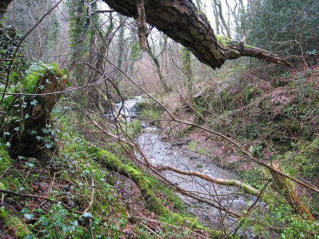
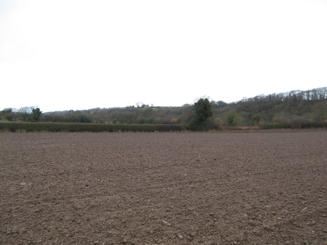
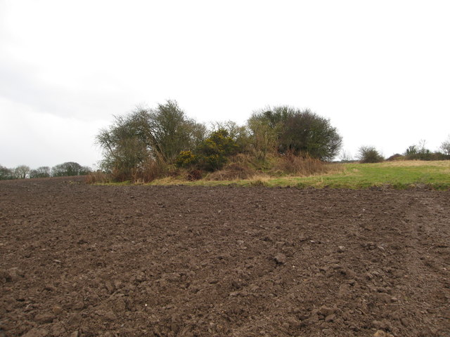
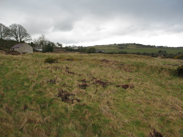
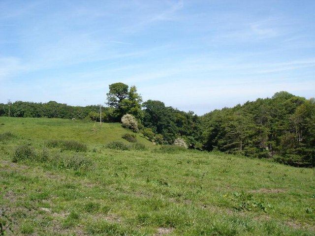
Garth is a small village located in Flintshire, Wales. It is situated near the border with England and has a population of around 1,000 residents. The village is known for its picturesque countryside, with rolling hills and lush green fields surrounding the area.

Garth has a rich history, with evidence of human habitation dating back to the Bronze Age. The village was once a thriving mining community, with coal mining being the main industry in the area. However, in recent years, the mining industry has declined, and Garth has become more of a residential area.

Despite its small size, Garth has a strong sense of community, with a village hall, primary school, and several local shops and pubs. The village is well-connected to the surrounding areas, with regular bus services and easy access to the nearby towns of Mold and Wrexham.

Overall, Garth is a charming village with a close-knit community and beautiful countryside, making it a popular choice for those looking for a peaceful and picturesque place to live.

If you have any feedback on the listing, please let us know in the comments section below.
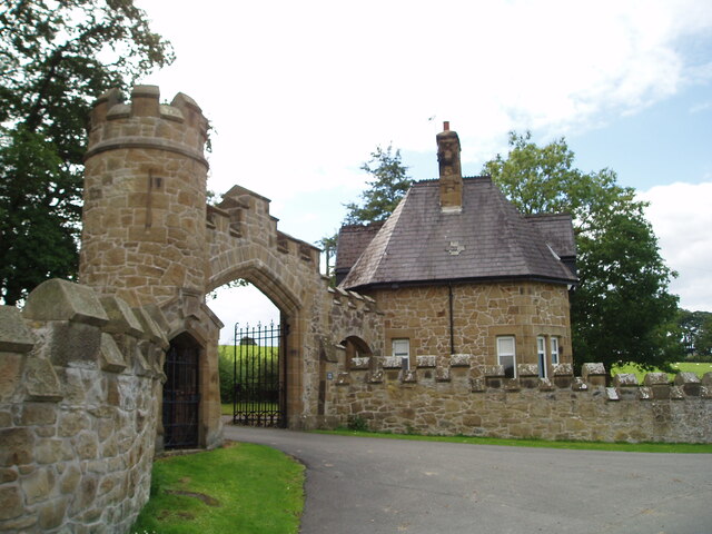
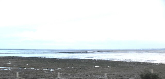
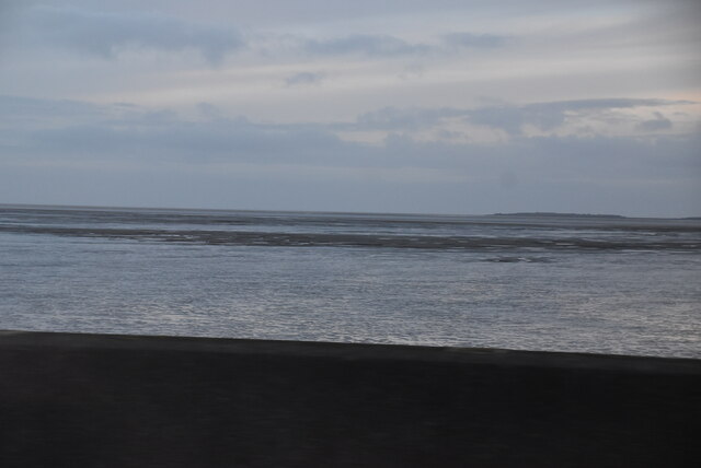
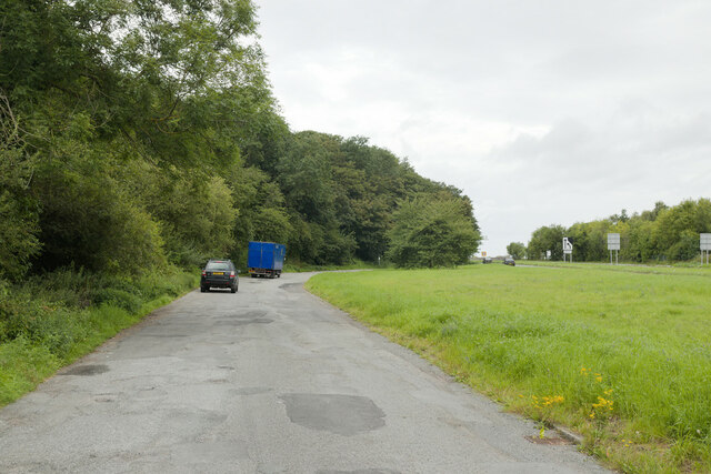
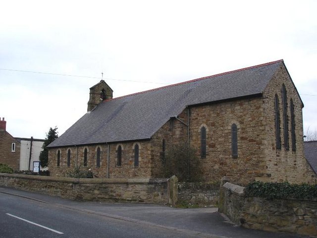
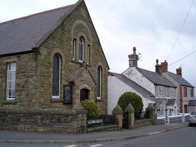
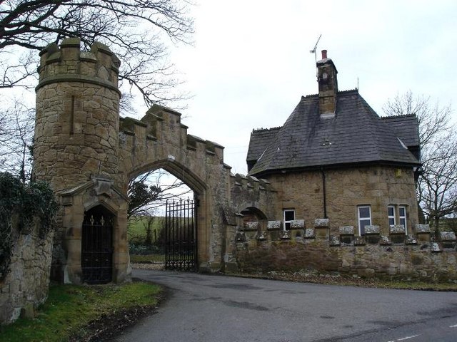
Garth Images

Images are sourced within 2km of 53.318752/-3.3074661 or Grid Reference SJ1381. Thanks to Geograph Open Source API. All images are credited.

North Lodge, Gyrn Castle
A548 at Tan Lan
A548 at Tan Lan
Dee estuary
Dee estuary
Dee Estuary
Dee Estuary
Guidepost at road junction, Trelogan WHITFORD
HOLYWELL
GLANRAFON
Guidepost at road junction, Trelogan
WHITFORD HOLYWELL GLANRAFON
Damaged benchmark on derelict building, Trelogan For more details see: <span class="nowrap"><a title="https://www.bench-marks.org.uk/bm180728" rel="nofollow ugc noopener" href="https://www.bench-marks.org.uk/bm180728">Link</a><img style="margin-left:2px;" alt="External link" title="External link - shift click to open in new window" src="https://s1.geograph.org.uk/img/external.png" width="10" height="10"/></span>
Damaged benchmark on derelict building, Trelogan
For more details see: LinkExternal link
Lay-by off the A548
Lay-by off the A548
Mud, cockleshells and the North Wales mainline railway At the edge of the Dee Estuary, looking S.E. towards Mostyn Dock. The railway is up on the very substantial embankment
Mud, cockleshells and the North Wales mainline railway
At the edge of the Dee Estuary, looking S.E. towards Mostyn Dock. The railway is up on the very substantial embankment
Ford and foot bridge over Afon y Garth Leading past Garth Mill, once a mill grinding corn for pit ponies, then a country inn and now converted into private dwelling.
Ford and foot bridge over Afon y Garth
Leading past Garth Mill, once a mill grinding corn for pit ponies, then a country inn and now converted into private dwelling.
Afon-y-Garth in Coed-y-Garth Wood This river runs through delightful ancient woodland owned and managed by the Woodland Trust.  Nearby is a stone lined adit dating back to 1780 - driven to drain water from the former Trelogan lead mine.
Afon-y-Garth in Coed-y-Garth Wood
This river runs through delightful ancient woodland owned and managed by the Woodland Trust. Nearby is a stone lined adit dating back to 1780 - driven to drain water from the former Trelogan lead mine.
Ploughed field McWalters'Dingle to Right and Gyrn Dingle centre/left
Ploughed field
McWalters'Dingle to Right and Gyrn Dingle centre/left
Disused Mineshaft A bit of the field that the farmer cannot plough - this mound hides a mineshaft from the former Trelogan lead and zinc mine which operated from the 18th until the early 20th century.
Disused Mineshaft
A bit of the field that the farmer cannot plough - this mound hides a mineshaft from the former Trelogan lead and zinc mine which operated from the 18th until the early 20th century.
Fields north of Trelogan Whilst the field in the forefront is not currently in agricultural use, it contrasts with the remainder of the land seen.
Fields north of Trelogan
Whilst the field in the forefront is not currently in agricultural use, it contrasts with the remainder of the land seen.
Fields surrounding Trelogan Farm and Berth-y-Maen
Footpath through agricultural land surrounding Wern Farm
Footpath through deciduous woodland Leading south from the A548 coast road between Ffynnongroyw and Tan-Lan in SJ4293
Footpath through deciduous woodland
Leading south from the A548 coast road between Ffynnongroyw and Tan-Lan in SJ4293
Pastureland on the hillside south of Tan-Lan Through the trees Glasdir can be seen left of centre and houses on the road into Pen-y-ffordd right of centre.  Far left there are views across the Dee estuary to the Wirral
Pastureland on the hillside south of Tan-Lan
Through the trees Glasdir can be seen left of centre and houses on the road into Pen-y-ffordd right of centre. Far left there are views across the Dee estuary to the Wirral
Footpath through ploughed field near Picton Leading to the road down to Tan-lan.  In the distance to the north you can see the gas terminal at Talacre and Liverpool Bay
Footpath through ploughed field near Picton
Leading to the road down to Tan-lan. In the distance to the north you can see the gas terminal at Talacre and Liverpool Bay
Show me another place!

Garth is located at Grid Ref: SJ1381 (Lat: 53.318752, Lng: -3.3074661)

Unitary Authority: Flintshire

Police Authority: North Wales

What 3 Words

///musician.framework.impulsive. Near Mostyn, Flintshire

Nearby Locations

Saunders' Dingle Garth

Related Wikis

Trelogan

Trelogan is a village in Flintshire, north east Wales. It is located between Mostyn and Trelawnyd and is almost contiguous with Berthengam. Trelogan had...

Ffynnongroew

Ffynnongroyw (sometimes spelled Ffynnongroew) is a village in Flintshire, north Wales. It is situated on the A548 road, near the Dee Estuary coast, near...

Pen-y-ffordd

Pen-y-ffordd is a hamlet in Flintshire, Wales. It is located between Holywell and Prestatyn, to the north west of Mostyn. The actor and writer Emlyn Williams...

Gyrn Castle

Gyrn Castle is a Grade II-listed castellated mansion in Llanasa in Flintshire. == History == It was built between 1817 and 1824 by John Douglas, who incorporated...

Nearby Amenities

Located within 500m of 53.318752,-3.3074661
Waterway: waterfall
Lat/Long: 53.3219977/-3.3028165
The data included in this document is from www.openstreetmap.org. The data is made available under ODbL.

Have you been to Garth?

Leave your review of Garth below (or comments, questions and feedback).