Ness of Bixter
Coastal Feature, Headland, Point in Shetland
Scotland
Ness of Bixter
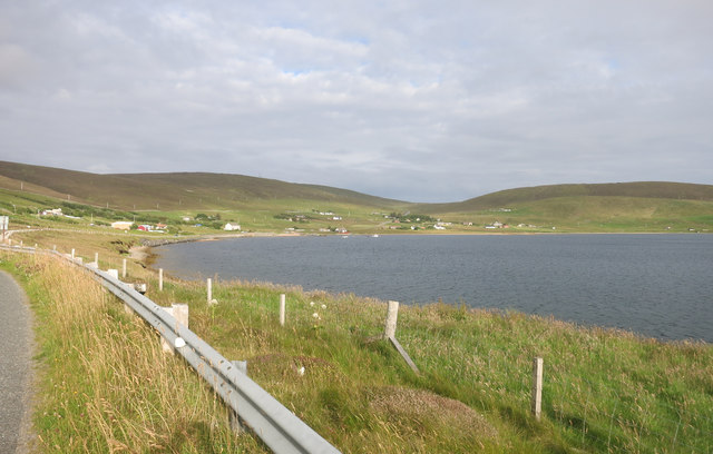
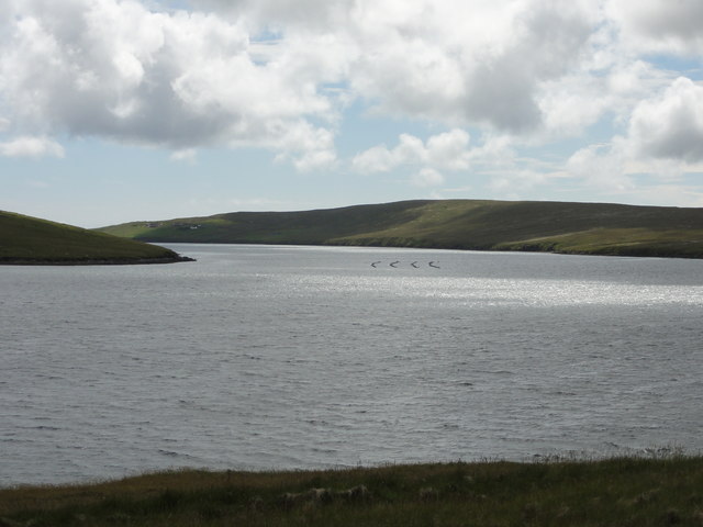
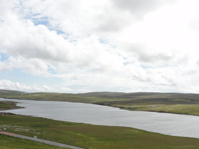
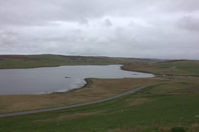
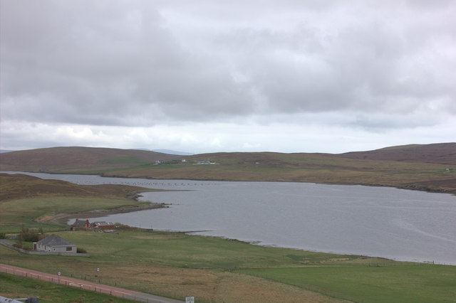
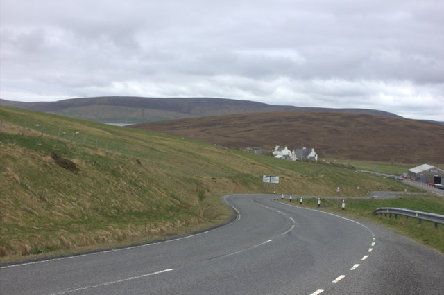
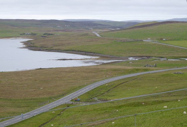
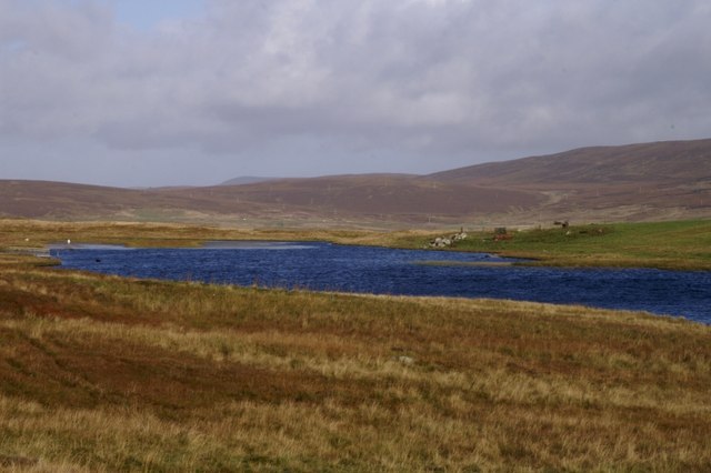
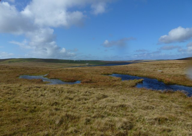
Ness of Bixter is a prominent coastal feature located on the west coast of the Shetland Islands in Scotland. This headland, also known as a point, juts out into the North Atlantic Ocean and is a notable landmark in the region.
With its rugged cliffs and stunning views, Ness of Bixter offers visitors a picturesque and dramatic coastal experience. Rising to an elevation of approximately 100 meters (330 feet), the headland provides a vantage point for observing the surrounding coastline and the vast ocean beyond. On clear days, it is even possible to catch glimpses of the nearby islands of Foula and Vaila.
The geology of Ness of Bixter is characterized by its steep cliffs, which are composed primarily of rugged sandstone. These cliffs have been shaped by the relentless force of the ocean waves, resulting in impressive sea stacks and caves that add to the area's natural beauty.
Ness of Bixter is also renowned for its diverse wildlife. The headland is home to various bird species, including puffins, fulmars, and guillemots, making it a popular spot for birdwatching enthusiasts. Seals can often be spotted basking on the rocks, while whales and dolphins occasionally grace the waters offshore.
In addition to its natural wonders, Ness of Bixter holds historical significance as well. The remains of an Iron Age broch, an ancient stone tower, can be found on the headland, providing a glimpse into the area's past.
Overall, Ness of Bixter is a captivating coastal feature that combines stunning natural beauty, abundant wildlife, and a touch of history. Its rugged cliffs, panoramic views, and diverse ecosystem make it a must-visit destination for nature lovers and explorers alike.
If you have any feedback on the listing, please let us know in the comments section below.
Ness of Bixter Images
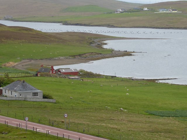
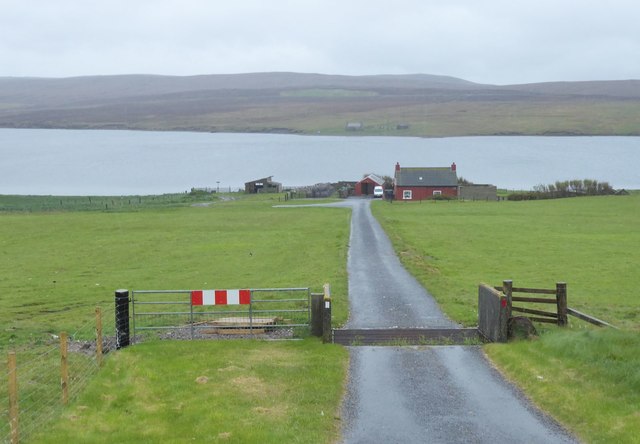
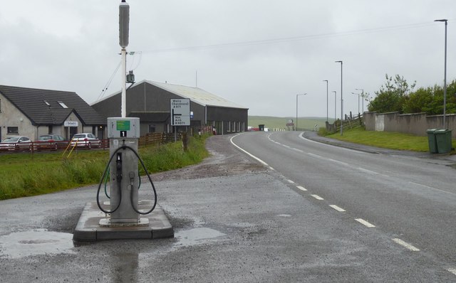
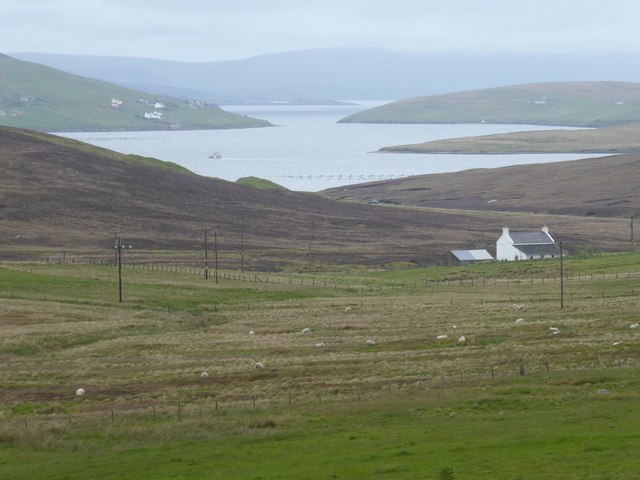
Images are sourced within 2km of 60.24759/-1.3894363 or Grid Reference HU3351. Thanks to Geograph Open Source API. All images are credited.
Ness of Bixter is located at Grid Ref: HU3351 (Lat: 60.24759, Lng: -1.3894363)
Unitary Authority: Shetland Islands
Police Authority: Highlands and Islands
What 3 Words
///parent.officials.serves. Near Aith, Shetland Islands
Nearby Locations
Related Wikis

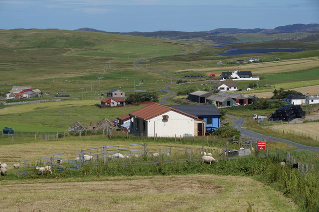
Bixter
Bixter is a village on the west side of the Shetland Islands, located more than 160 km (99 mi) off the north coast of mainland Scotland. Bixter is a group...

Westerfield, Shetland
Westerfield is a coastal community on Mainland, in Shetland, Scotland. The community is within the parish of Sandsting.It lies to the west of Tresta on...
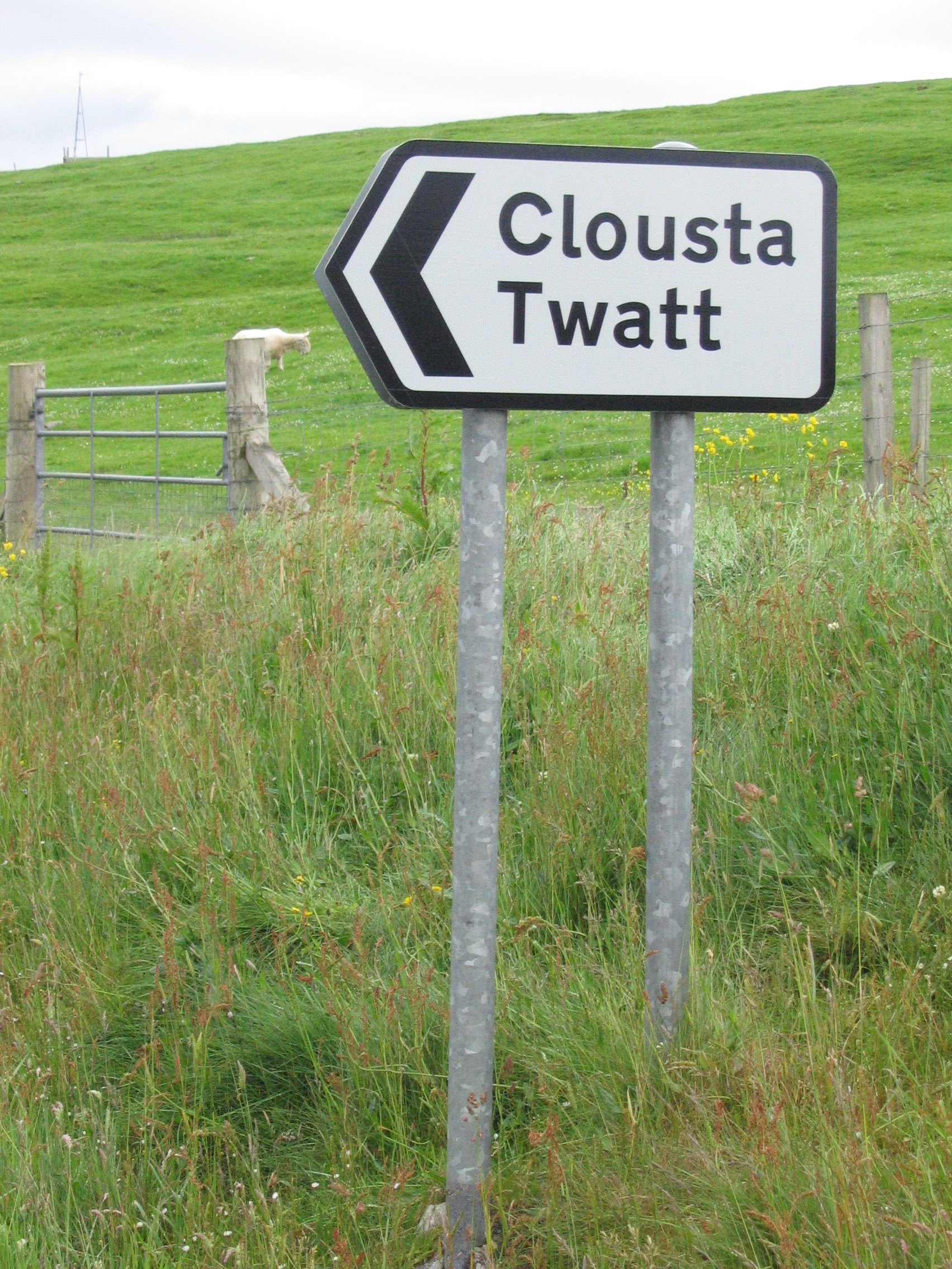
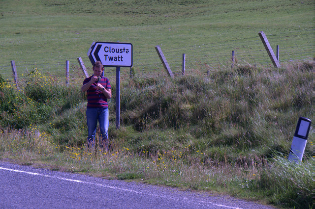
Twatt, Shetland
Twatt is a settlement in the Shetland Islands of Scotland. It is located on the Shetland Mainland on a minor road that leads from the A971 road to Clousta...
Park Hall, Shetland
Park Hall is a derelict laird's house situated west of the village of Bixter, in the parish of Sandsting on the Mainland of Shetland, Scotland. It has...
Nearby Amenities
Located within 500m of 60.24759,-1.3894363Have you been to Ness of Bixter?
Leave your review of Ness of Bixter below (or comments, questions and feedback).