Whal Ness
Coastal Marsh, Saltings in Shetland
Scotland
Whal Ness
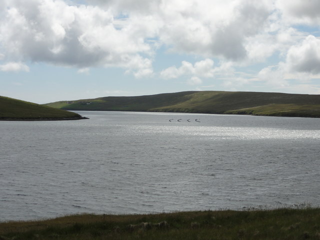
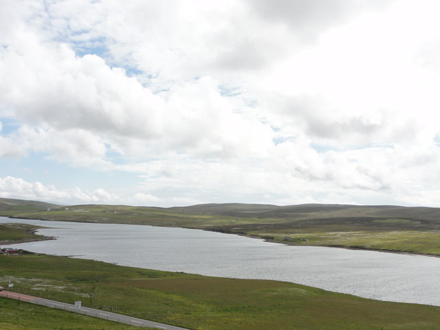
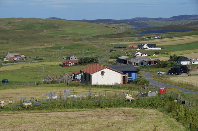
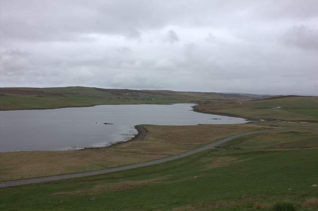
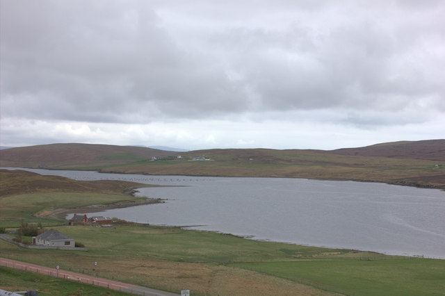
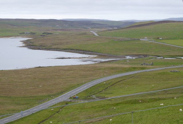
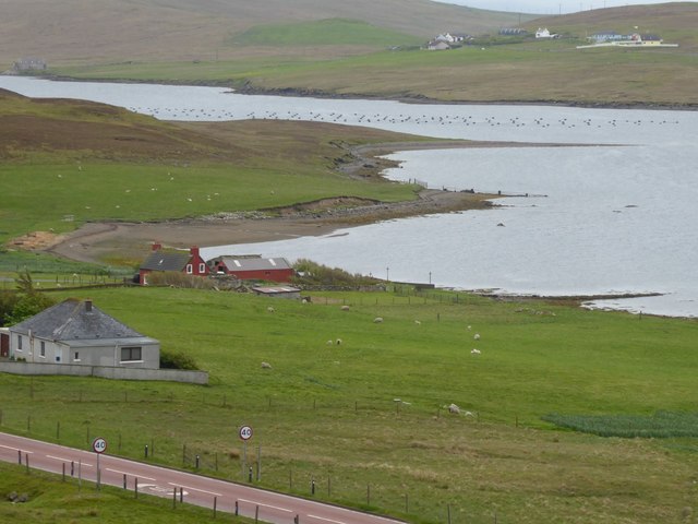
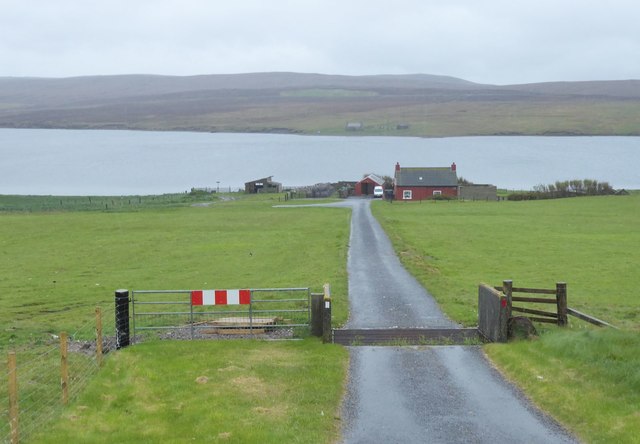
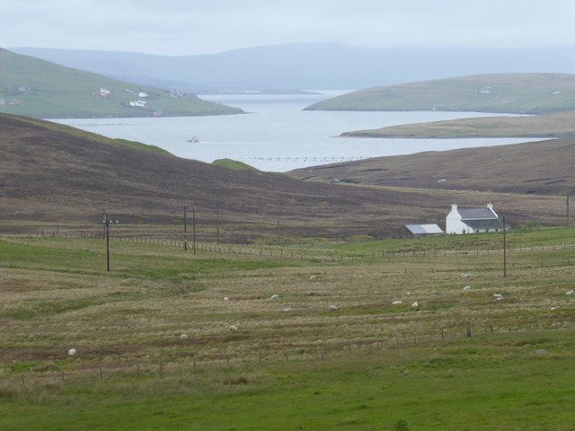
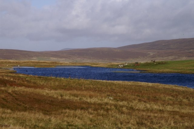
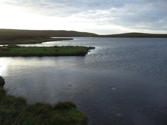
Whal Ness is a coastal marsh located in the Shetland Islands, an archipelago in the North Atlantic Ocean. Situated on the eastern coast of the mainland, this area is characterized by its unique geological features and diverse wildlife.
The marsh is primarily composed of salt marshes and saltings, which are low-lying coastal areas that are flooded and drained by the tides. These tidal mudflats and salt pans provide an important habitat for various species of birds, insects, and plants. The nutrient-rich mud supports a rich biodiversity, attracting migratory birds and serving as a feeding ground for wading birds like sandpipers, dunlins, and redshanks.
Whal Ness is also home to a wide range of plant species that are adapted to the harsh coastal environment. Common reed, sea aster, and sea lavender thrive in the salty soil, while saltmarsh grasses and rushes dominate the marshy areas.
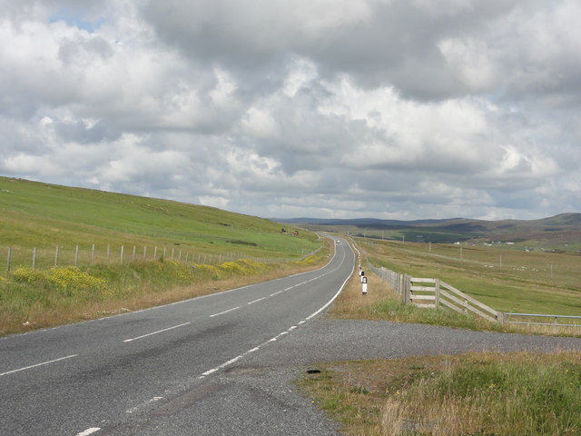
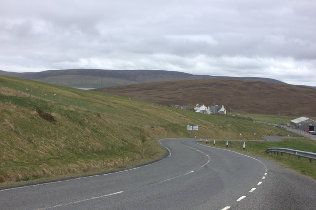
The landscape of Whal Ness is characterized by its vast open spaces and stunning panoramic views of the North Sea. Visitors can explore the area through walking trails that wind through the marsh and along the coastline, providing opportunities for birdwatching and enjoying the natural beauty of the Shetland Islands.
In addition to its ecological significance, Whal Ness holds historical significance as well. The remains of ancient settlements and archaeological sites have been discovered in the area, providing insights into the lives of early inhabitants of the Shetland Islands.
Overall, Whal Ness is a captivating coastal marsh in Shetland, offering a unique blend of natural beauty, diverse wildlife, and historical interest.
If you have any feedback on the listing, please let us know in the comments section below.
Whal Ness Images
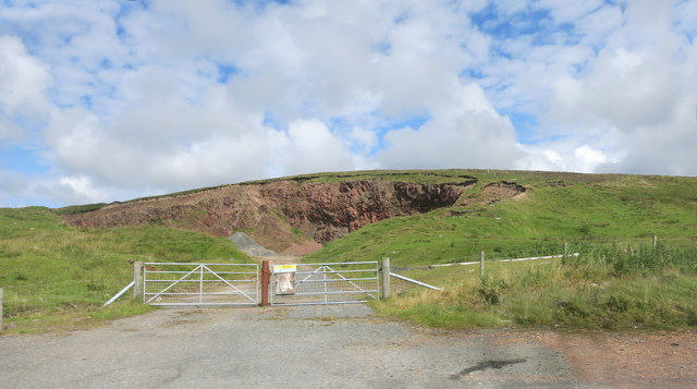
Images are sourced within 2km of 60.246365/-1.4023017 or Grid Reference HU3351. Thanks to Geograph Open Source API. All images are credited.
Whal Ness is located at Grid Ref: HU3351 (Lat: 60.246365, Lng: -1.4023017)
Unitary Authority: Shetland Islands
Police Authority: Highlands and Islands
What 3 Words
///speedy.loafing.land. Near Aith, Shetland Islands
Nearby Locations
Related Wikis

Bixter
Bixter is a village on the west side of the Shetland Islands, located more than 160 km (99 mi) off the north coast of mainland Scotland. Bixter is a group...
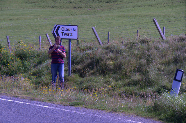
Twatt, Shetland
Twatt is a settlement in the Shetland Islands of Scotland. It is located on the Shetland Mainland on a minor road that leads from the A971 road to Clousta...
Park Hall, Shetland
Park Hall is a derelict laird's house situated west of the village of Bixter, in the parish of Sandsting on the Mainland of Shetland, Scotland. It has...

Westerfield, Shetland
Westerfield is a coastal community on Mainland, in Shetland, Scotland. The community is within the parish of Sandsting. It lies to the west of Tresta on...
Nearby Amenities
Located within 500m of 60.246365,-1.4023017Have you been to Whal Ness?
Leave your review of Whal Ness below (or comments, questions and feedback).