Bixter Voe
Sea, Estuary, Creek in Shetland
Scotland
Bixter Voe
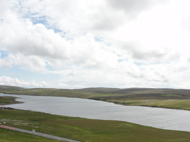
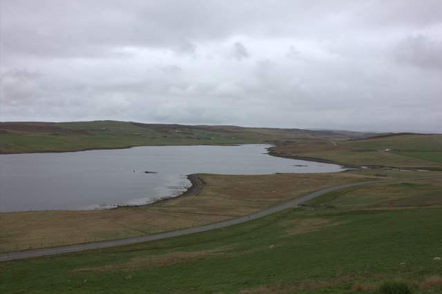
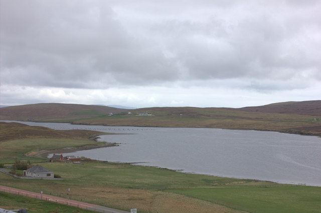
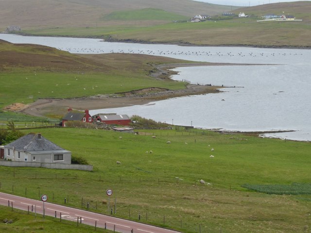
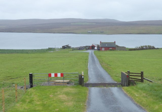
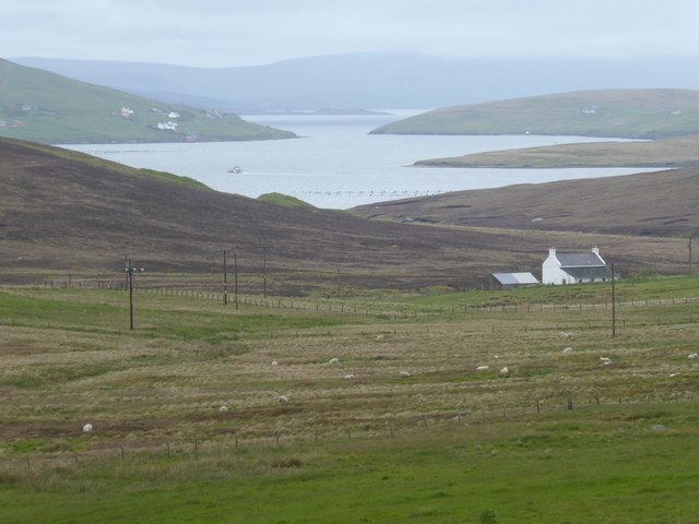
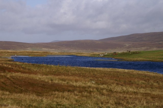
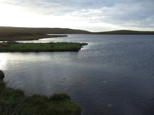
Bixter Voe is a picturesque coastal inlet located on the Shetland Islands, Scotland. Situated on the western side of the mainland, Bixter Voe is renowned for its stunning natural beauty and diverse marine ecosystem.
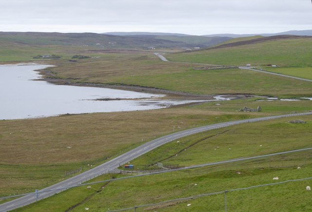
As a sea inlet, Bixter Voe is directly connected to the North Atlantic Ocean. It stretches inland for approximately 2 miles, forming a narrow channel between the surrounding cliffs and hills. The voe is fed by both freshwater streams and the tidal influence of the sea, resulting in a unique estuarine environment. The water is brackish, with a mixture of saltwater and freshwater, making it an ideal habitat for various species of fish and marine mammals.
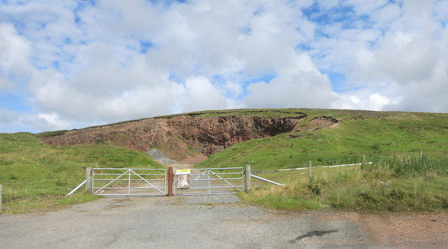
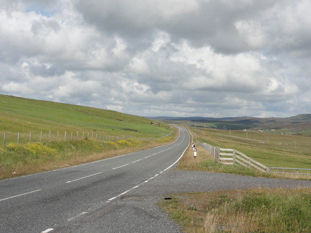
The surrounding landscape of Bixter Voe is characterized by rugged cliffs and rolling hills covered in lush vegetation. The area is home to a wide range of wildlife, including seabirds such as puffins, guillemots, and razorbills, which nest along the cliffs. Otters can also be spotted playing in the calm waters, while seals bask on the rocky shores.
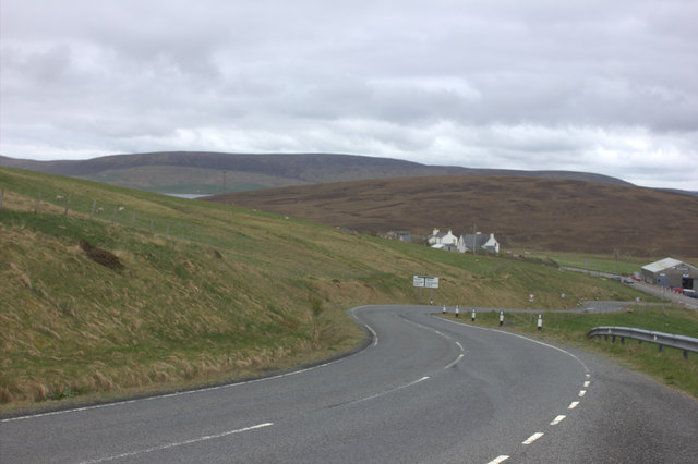
Bixter Voe is a haven for outdoor enthusiasts and nature lovers, offering opportunities for boating, kayaking, and fishing. The voe is a popular spot for anglers, as it teems with fish like mackerel, herring, and cod. The surrounding hills provide excellent hiking trails, allowing visitors to enjoy panoramic views of the voe and its surrounding landscape.
Overall, Bixter Voe is a scenic and ecologically-rich coastal inlet that offers a serene and captivating experience for visitors, showcasing the natural wonders of the Shetland Islands.
If you have any feedback on the listing, please let us know in the comments section below.
Bixter Voe Images
Images are sourced within 2km of 60.24717/-1.4055565 or Grid Reference HU3351. Thanks to Geograph Open Source API. All images are credited.
Bixter Voe is located at Grid Ref: HU3351 (Lat: 60.24717, Lng: -1.4055565)
Unitary Authority: Shetland Islands
Police Authority: Highlands and Islands
What 3 Words
///seat.prayers.nuzzling. Near Aith, Shetland Islands
Nearby Locations
Related Wikis

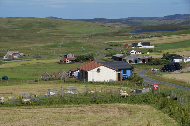
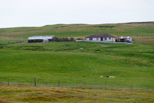
Bixter
Bixter is a village on the west side of the Shetland Islands, located more than 160 km (99 mi) off the north coast of mainland Scotland. Bixter is a group...
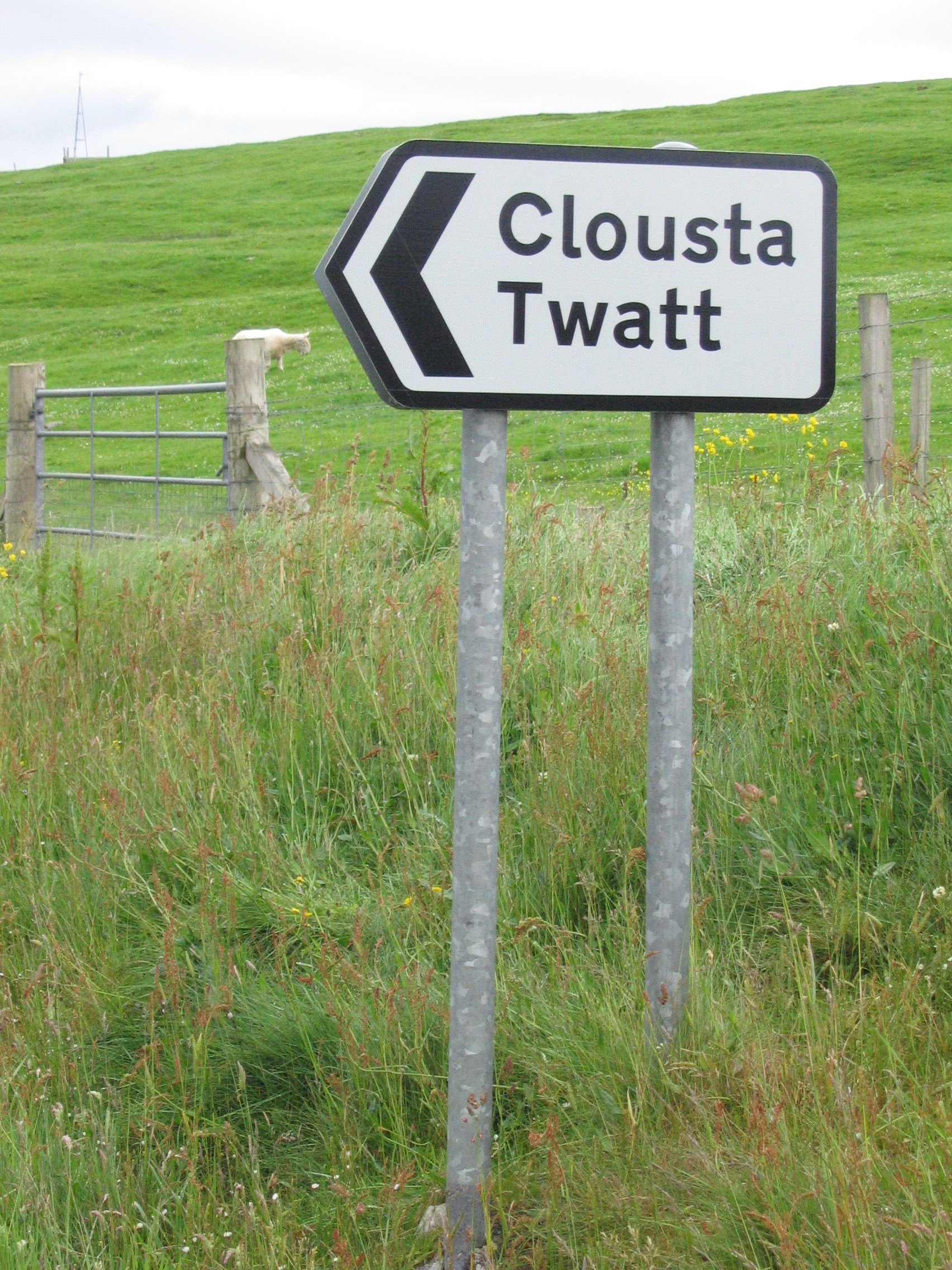
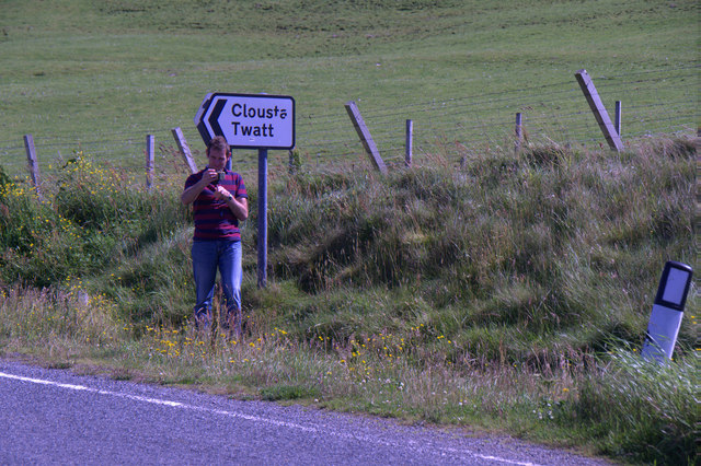
Twatt, Shetland
Twatt is a settlement in the Shetland Islands of Scotland. It is located on the Shetland Mainland on a minor road that leads from the A971 road to Clousta...
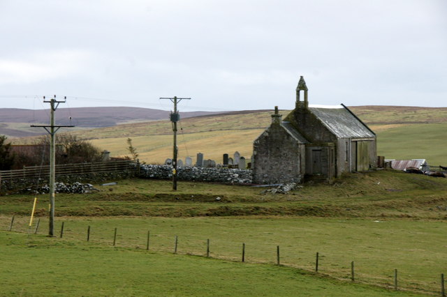
Park Hall, Shetland
Park Hall is a derelict laird's house situated west of the village of Bixter, in the parish of Sandsting on the Mainland of Shetland, Scotland. It has...

Westerfield, Shetland
Westerfield is a coastal community on Mainland, in Shetland, Scotland. The community is within the parish of Sandsting. It lies to the west of Tresta on...
Nearby Amenities
Located within 500m of 60.24717,-1.4055565Have you been to Bixter Voe?
Leave your review of Bixter Voe below (or comments, questions and feedback).