Rit Ness

Coastal Feature, Headland, Point in Shetland

Scotland

Rit Ness

End of the road at Little-Ayre The car park at the end of the road which runs along the south side of Muckle Roe caters for many walkers and cyclists, mostly taking the rough road over to South Ham at the north-west corner of the island.
End of the road at Little-Ayre Credit: Oliver Dixon

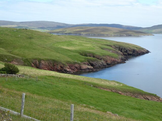
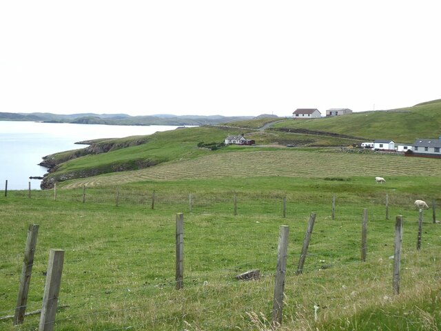
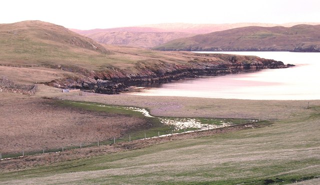
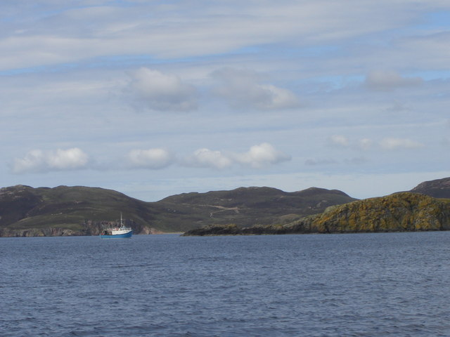
Rit Ness is a prominent coastal feature located in the Shetland Islands, an archipelago in the North Atlantic Ocean, off the northeastern coast of mainland Scotland. As a headland or point, Rit Ness extends into the sea, offering stunning views of the surrounding coastal landscape.

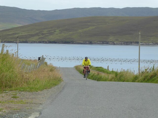
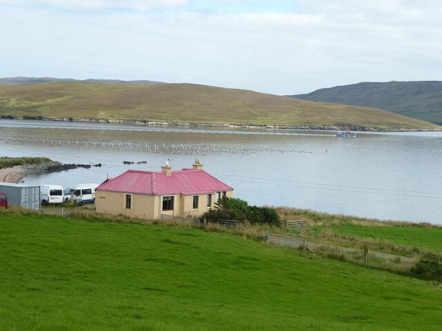
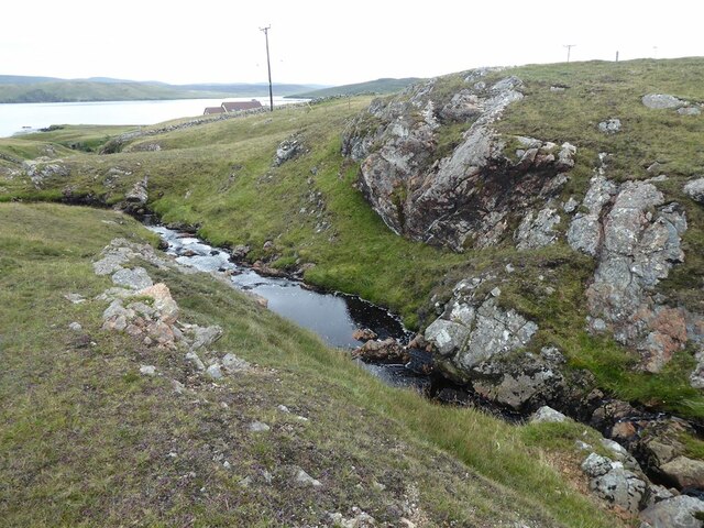
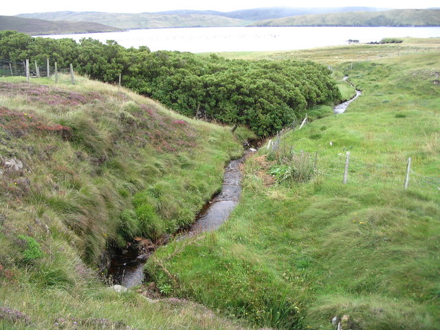
Situated on the east coast of the mainland Shetland, Rit Ness is characterized by its rugged cliffs, rocky terrain, and wild beauty. The headland is known for its dramatic coastline, with steep cliffs that rise dramatically from the crashing waves below. These cliffs are composed of layered rock formations, showcasing the geological history of the region.

The area surrounding Rit Ness is rich in diverse wildlife, making it popular among nature enthusiasts and birdwatchers. The headland provides a habitat for various seabirds, including puffins, guillemots, and razorbills, which nest in the cliffs during the breeding season. Visitors can often witness these majestic creatures in their natural environment, soaring above the sea or perched on the cliff ledges.

Rit Ness also offers excellent opportunities for coastal walks and exploration. The headland is accessible via footpaths and tracks, allowing visitors to traverse the rugged landscape and take in the panoramic views of the surrounding coastline. The area is known for its dramatic sunsets, with the sun sinking below the horizon, casting a golden glow over the cliffs and sea.

Overall, Rit Ness is a captivating coastal feature in the Shetland Islands, offering visitors a chance to immerse themselves in the raw beauty of the Scottish coastline, witness diverse wildlife, and experience the serenity of this remote location.

If you have any feedback on the listing, please let us know in the comments section below.
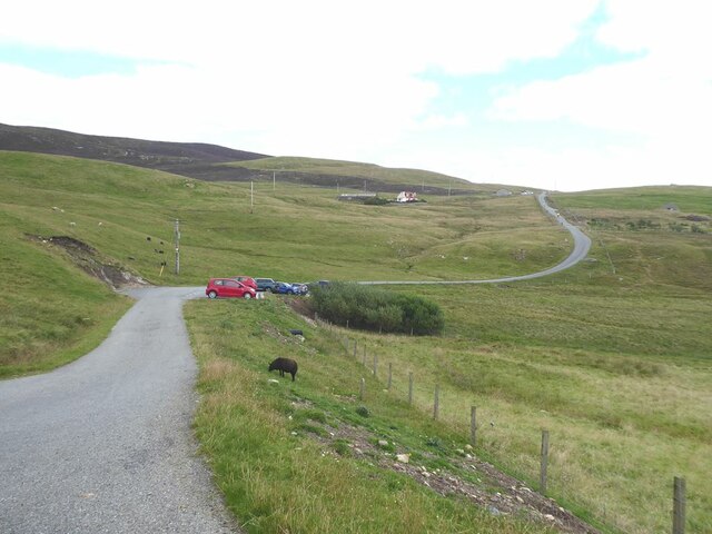
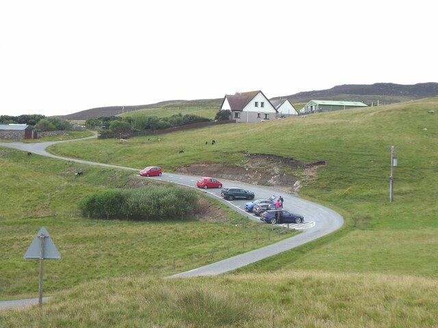
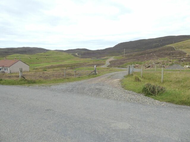
Rit Ness Images

Images are sourced within 2km of 60.341121/-1.3870926 or Grid Reference HU3362. Thanks to Geograph Open Source API. All images are credited.

End of the road at Little-Ayre The car park at the end of the road which runs along the south side of Muckle Roe caters for many walkers and cyclists, mostly taking the rough road over to South Ham at the north-west corner of the island.
End of the road at Little-Ayre
The car park at the end of the road which runs along the south side of Muckle Roe caters for many walkers and cyclists, mostly taking the rough road over to South Ham at the north-west corner of the island.
Access road to Burki Waters
View across Boat Geo The island of Linga <a href="https://www.geograph.org.uk/gridref/HU3563">HU3563</a> in the middle distance.
View across Boat Geo
The island of Linga HU3563 in the middle distance.
Littleburn Scattering of houses on the south shore of Muckle Roe.
Littleburn
Scattering of houses on the south shore of Muckle Roe.
Hill climb at Knowe Mussel farm in the sea. The island of Linga <a href="https://www.geograph.org.uk/gridref/HU3563">HU3563</a> beyond.
Hill climb at Knowe
Mussel farm in the sea. The island of Linga HU3563 beyond.
Ayredale on Muckle Roe Mussel farm in the sea. The island of Linga <a href="https://www.geograph.org.uk/gridref/HU3563">HU3563</a> beyond.
Ayredale on Muckle Roe
Mussel farm in the sea. The island of Linga HU3563 beyond.
Gorge of the Burn of Scarfataing The map shows a waterfall at this spot. Although a spectacular gorge, any waterfall mush be pretty small.
Gorge of the Burn of Scarfataing
The map shows a waterfall at this spot. Although a spectacular gorge, any waterfall mush be pretty small.
Ness of Gillarona, Shetland This is where the public road stops at the south end of Muckle Roe. Photo, in evening light, taken looking southeast with the island of Papa Little in mid distance
Ness of Gillarona, Shetland
This is where the public road stops at the south end of Muckle Roe. Photo, in evening light, taken looking southeast with the island of Papa Little in mid distance
Burn of Scarfataing
Burn of Scarfataing
The tip of Moo Ness, Papa Little The island of Muckle Roe can be seen in the background
The tip of Moo Ness, Papa Little
The island of Muckle Roe can be seen in the background
Western edge of Rit Ness, Papa Little Papa Little is one of Shetland's numerous uninhabited islands.
Western edge of Rit Ness, Papa Little
Papa Little is one of Shetland's numerous uninhabited islands.
Un-named corner, near Hamna-Ayre, Papa Little Most of Shetland's coastline features have been given detailed names, for example the south and west of nearby Muckle Roe,  but that of Papa Little has very few named landmarks.
Un-named corner, near Hamna-Ayre, Papa Little
Most of Shetland's coastline features have been given detailed names, for example the south and west of nearby Muckle Roe, but that of Papa Little has very few named landmarks.
Looking across to Ness of Little Ayre
Entrance to Westayre B&B and coastal footpath
Ruined crofthouse at Moon, South Voxter
Ruined sheep pen and dip Only JUST in the square and photographed from the only permissable position the road.
Scarfa Taing is seen.
Ruined sheep pen and dip
Only JUST in the square and photographed from the only permissable position the road. Scarfa Taing is seen.
Beach at Little Ayre, Muckle Roe
Show me another place!

Rit Ness is located at Grid Ref: HU3362 (Lat: 60.341121, Lng: -1.3870926)

Unitary Authority: Shetland Islands

Police Authority: Highlands and Islands

What 3 Words

///customers.empty.octagonal. Near Brae, Shetland Islands

Nearby Locations

Rit Ness

Related Wikis

Papa Little

Papa Little (Scots: Papa Little; Old Norse: Papey Litla, meaning "the little island of the priests") is an island in St Magnus Bay, Shetland, Scotland...

Linga, Busta Voe

Linga is a small, uninhabited island, 1 km (0.62 mi) east of Muckle Roe in the Shetland Islands. The island is roughly circular in shape and its highest...

Shetland

Shetland, also called the Shetland Islands and formerly Zetland, is an archipelago in Scotland lying between Orkney, the Faroe Islands, and Norway. It...

Muckle Roe

Muckle Roe is an island in Shetland, Scotland, in St. Magnus Bay, to the west of Mainland. It has a population of around 130 people, who mainly croft and...

Braewick, Sandsting

Braewick is a settlement on the west Mainland of Shetland, Scotland. Braewick is on the western shore of Aith Voe and 1.2 mi (2 km) north of Aith itself...

Linga (near Vementry)

Linga is one of the Shetland Islands, near Vementry. It is one of many islands in Shetland called Linga. The island is uninhabited. == Geography and... ==

Vementry

Vementry (Old Norse: "Vemunðarey") is an uninhabited Scottish island in Shetland on the north side of the West Mainland, lying south of Muckle Roe. �...

Busta Voe

Busta Voe, (HU665350), in the north central Mainland, Shetland, is a sea inlet lying between the village of Brae and the island of Muckle Roe. At the head...

Have you been to Rit Ness?

Leave your review of Rit Ness below (or comments, questions and feedback).