Aaskerry Taing
Coastal Feature, Headland, Point in Shetland
Scotland
Aaskerry Taing
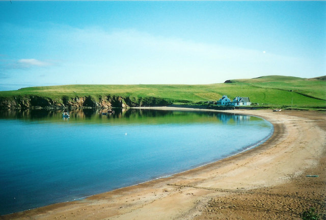
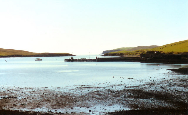
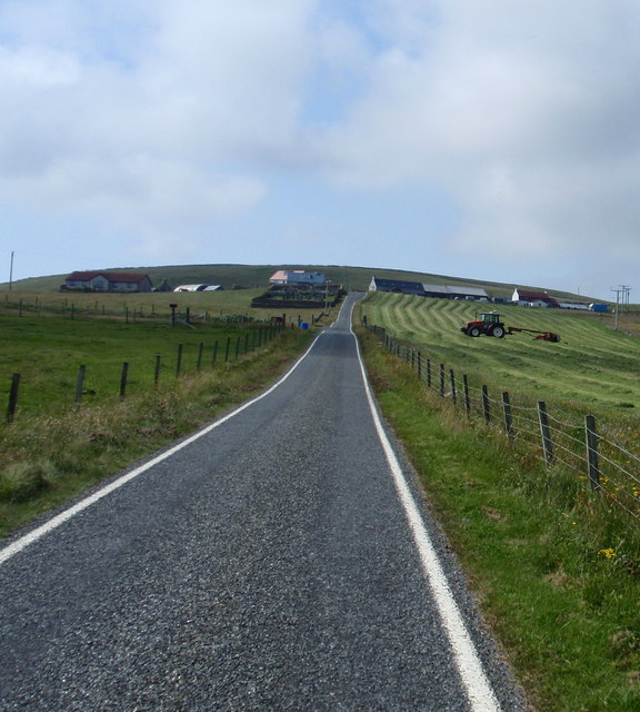
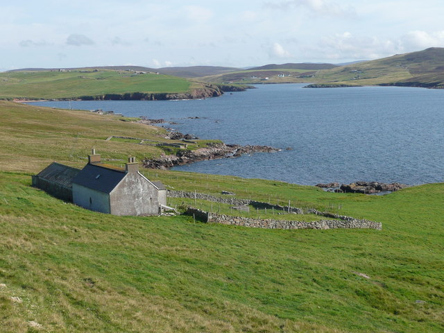
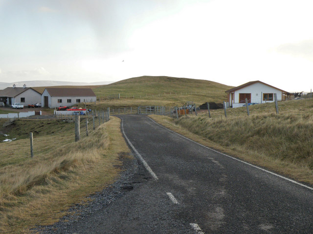
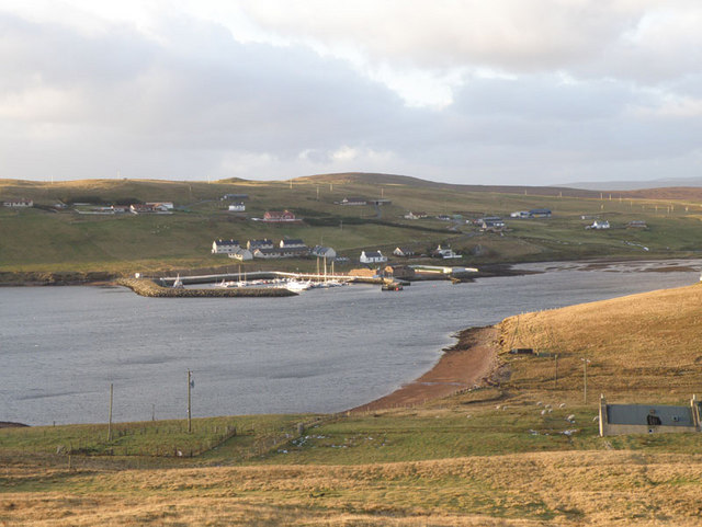
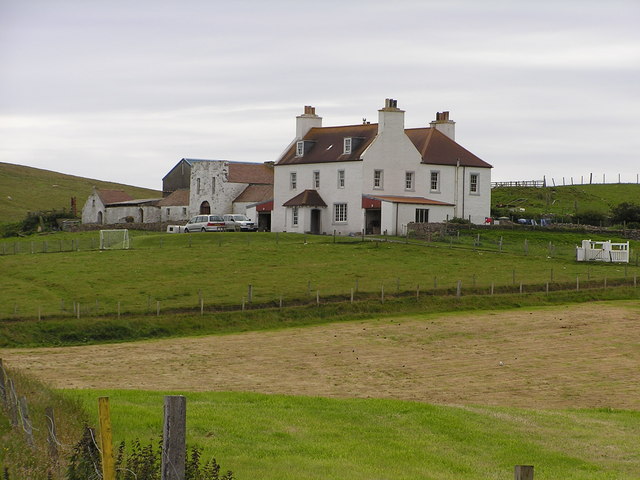
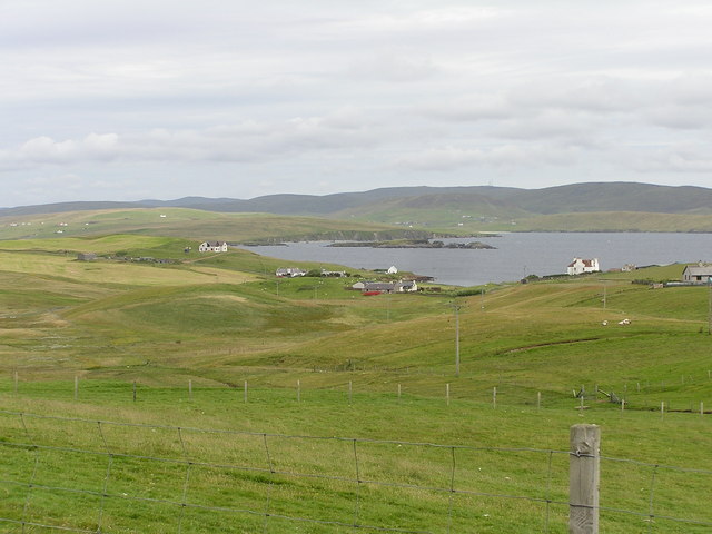
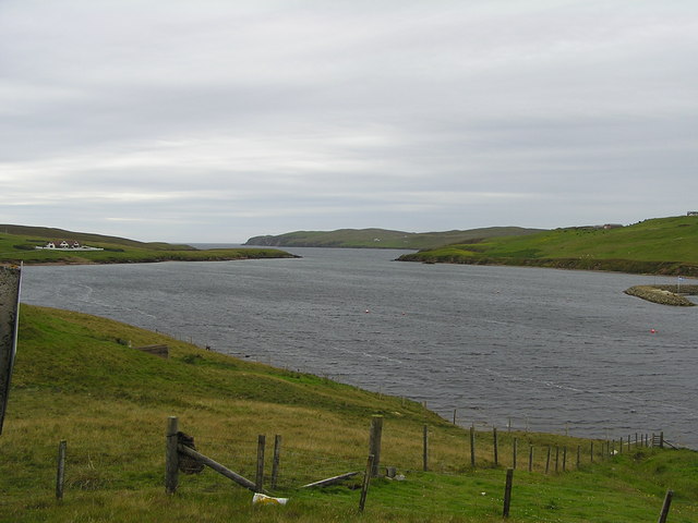
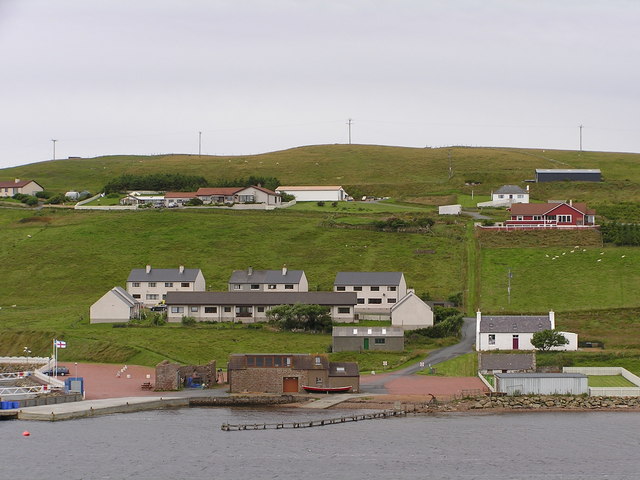
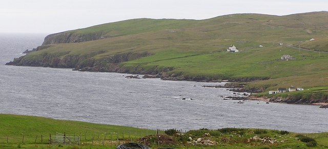
Aaskerry Taing is a prominent coastal feature located in the Shetland Islands, an archipelago in northern Scotland. It is a headland that extends out into the North Sea, forming a distinctive point that offers stunning views of the surrounding rugged coastline.
Situated on the eastern coast of the Shetland mainland, Aaskerry Taing is characterized by its steep cliffs, rocky terrain, and exposed position. The headland is composed of various types of rock, including sandstone and shale, which have been shaped and eroded by the relentless forces of the sea over millennia.
The name "Aaskerry Taing" is derived from the Old Norse language and translates to "ash island point." This name reflects the historical importance of the area as a place where ash trees once grew, now replaced by the harsh coastal vegetation that can withstand the strong winds and salt spray.
Aaskerry Taing is not only visually striking but also serves as an important habitat for a variety of seabirds, including puffins, guillemots, and razorbills. These birds nest on the cliff edges during the breeding season, creating a lively spectacle for visitors.
Due to its exposed location, Aaskerry Taing is subject to the full force of the North Sea's waves and wind, making it a popular spot for outdoor enthusiasts seeking a thrilling experience. However, caution is advised when exploring the area, as the cliffs can be dangerous and slippery.
In summary, Aaskerry Taing is a captivating headland in the Shetland Islands, offering breathtaking views, rich wildlife, and a glimpse into the geological history of the region.
If you have any feedback on the listing, please let us know in the comments section below.
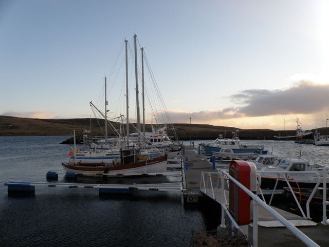
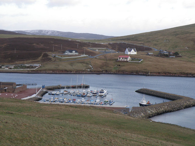
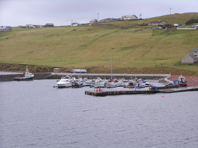
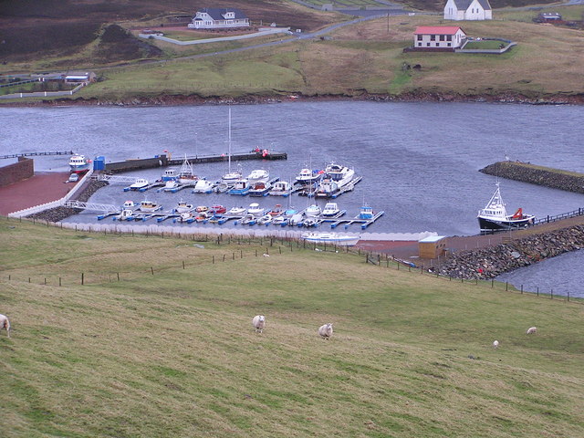
Aaskerry Taing Images
Images are sourced within 2km of 60.170037/-1.4335305 or Grid Reference HU3142. Thanks to Geograph Open Source API. All images are credited.
Aaskerry Taing is located at Grid Ref: HU3142 (Lat: 60.170037, Lng: -1.4335305)
Unitary Authority: Shetland Islands
Police Authority: Highlands and Islands
What 3 Words
///requests.household.league. Near Scalloway, Shetland Islands
Nearby Locations
Related Wikis

Skeld
Skeld (Old Norse: Skjolðr, Shield or shelter) refers to two villages on the south side of the West Mainland of Shetland, Scotland. The main village is...

Silwick
Silwick, a once thriving community in the West Mainland, Shetland, Scotland about three miles from Skeld, is now almost deserted. The area has dramatic...

Westerwick
Westerwick is a settlement on Mainland in Shetland, Scotland. The settlement is within the parish of Sandsting. It faces south with high cliffs on both...

Hildasay
Hildasay (Scots: Hildasay; Old Norse: Hildisey) (from the Old Norse masculine name Hildir with ey "island"), also known as Hildisay, is an uninhabited...

North Havra
North Havra (Old Norse: Hafrey, ocean island) is a small island off south west Shetland. It is 30 metres at its highest point. Situated 1/3 mile from the...

Sandsting
Sandsting is a parish in the West Mainland of Shetland, Scotland, forming a southern arm of the Walls Peninsula. After the parish of Aithsting was annexed...
Cheynies
The Cheynies are a group of reefs and small islands, between Oxna and Hildasay in the Shetland Islands, Scotland. They have been considerably eroded in...

Linga, Scalloway Islands
Linga is a small island off Hildasay in the Shetland Islands. It is one of the Scalloway Islands. Haswell-Smith compares Hildasay and the adjacent islands...
Have you been to Aaskerry Taing?
Leave your review of Aaskerry Taing below (or comments, questions and feedback).