The Ness

Coastal Feature, Headland, Point in Shetland

Scotland

The Ness

Gunnister Voe
Gunnister Voe Credit: David Purchase

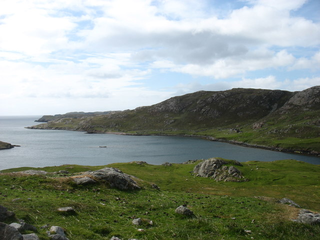
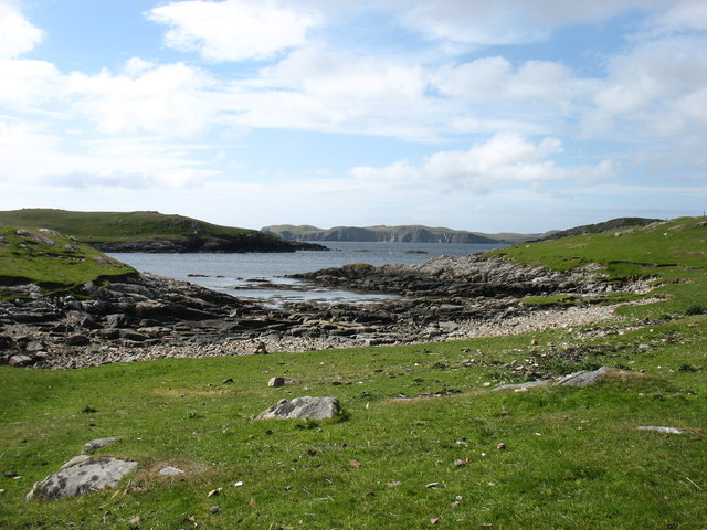
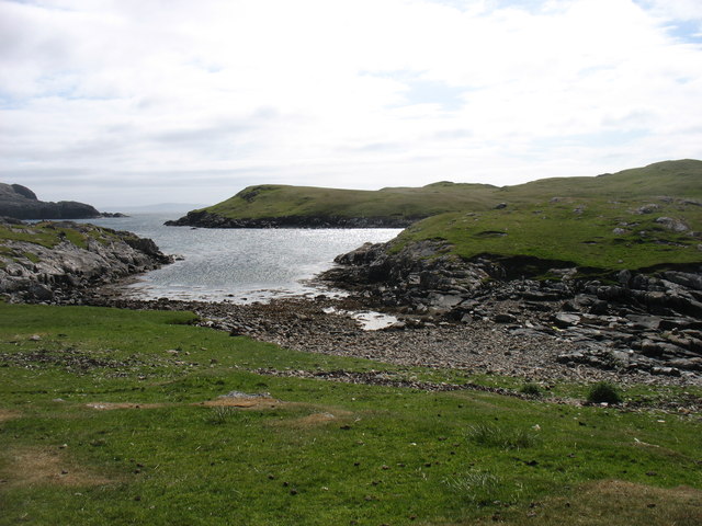
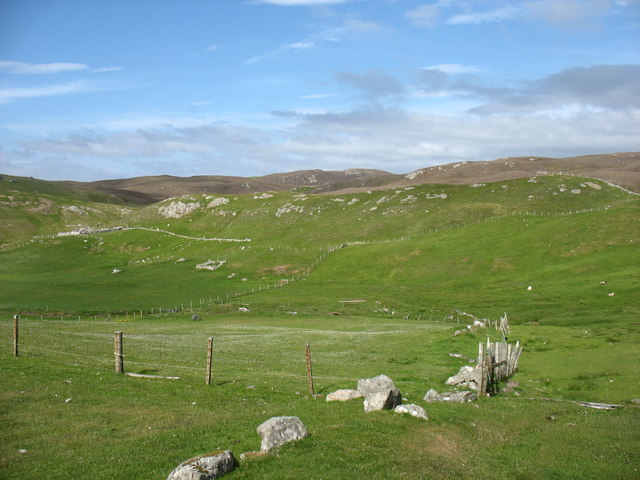
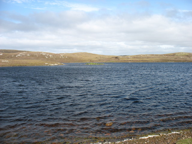
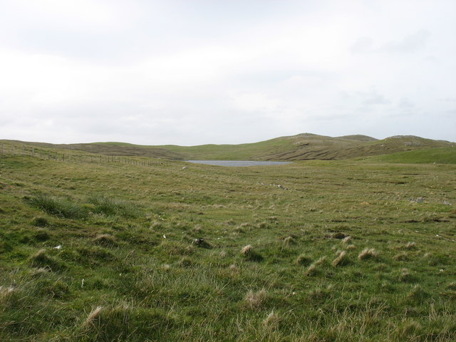
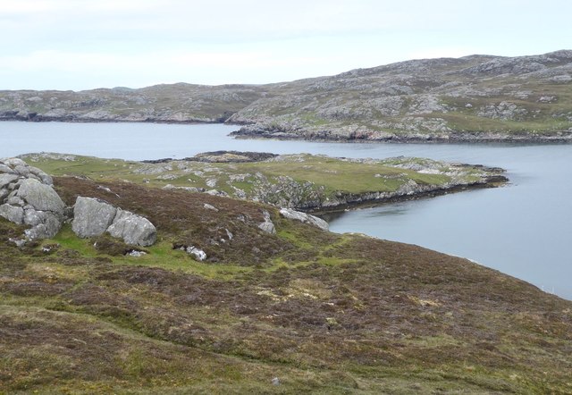
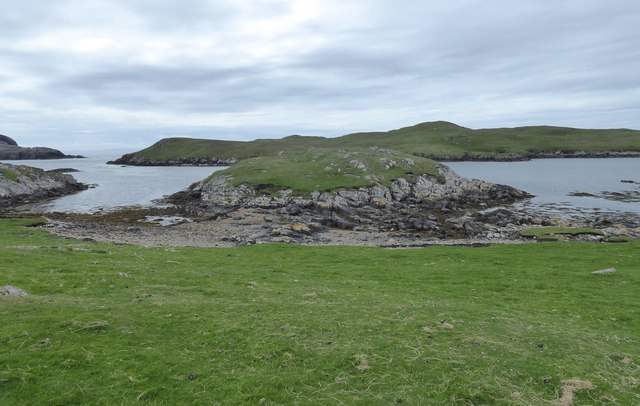
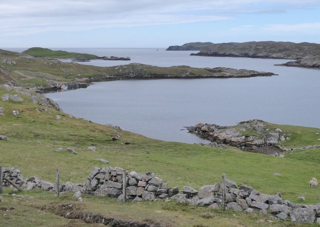
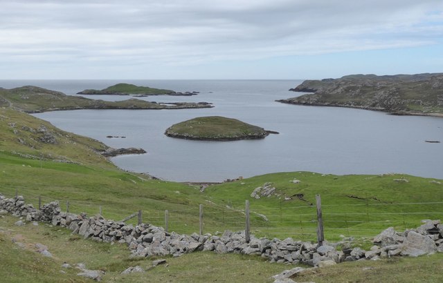
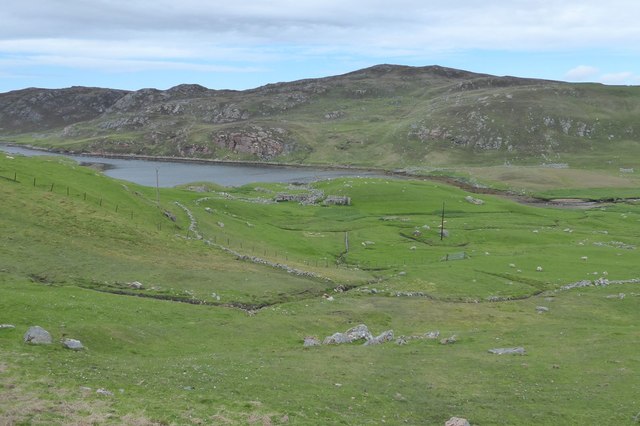
The Ness is a prominent coastal feature located in Shetland, an archipelago in Scotland. It is a headland that juts out into the North Sea, forming a distinctive point in the landscape. The Ness is known for its dramatic cliffs, which rise steeply from the sea, offering breathtaking views of the surrounding coastline.

The headland is composed of rugged rock formations, predominantly composed of sandstone and shale, which have been shaped by the relentless forces of wind and water over millions of years. These geological features make The Ness a paradise for geologists and nature enthusiasts.

The Ness is also home to a diverse range of wildlife, including various seabirds such as puffins, kittiwakes, and guillemots. These birds nest along the cliffs, creating a cacophony of calls during the breeding season. The surrounding waters are frequented by seals, dolphins, and occasionally even whales, adding to the area's natural splendor.

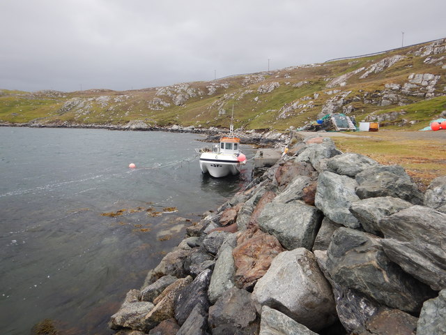
In addition to its natural beauty, The Ness holds historical significance. It was once a strategic location for defense and surveillance during Viking times. Ruins of ancient structures, including a broch, a circular stone tower, can be found on the headland, providing a glimpse into the region's rich history.

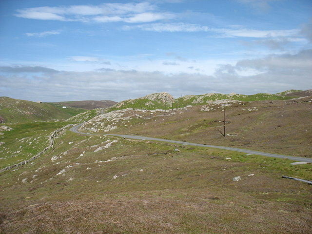
Accessible by foot or by boat, The Ness offers visitors a chance to immerse themselves in the wild and untamed beauty of Shetland's coastline. Its towering cliffs, abundant wildlife, and historical remnants make it a must-visit destination for nature lovers and history enthusiasts alike.

If you have any feedback on the listing, please let us know in the comments section below.

The Ness Images

Images are sourced within 2km of 60.449158/-1.428698 or Grid Reference HU3174. Thanks to Geograph Open Source API. All images are credited.

Gunnister Voe
Gunnister Voe
North Sound, Nibon The northern end of the Isle of Nibon is on the left, with the Ness of Hillswick in the distance.
North Sound, Nibon
The northern end of the Isle of Nibon is on the left, with the Ness of Hillswick in the distance.
The Isle of Nibon With South Sound to the left of the photo.
The Isle of Nibon
With South Sound to the left of the photo.
The lane from Nibon One of many minor cul-de-sacs branching off from the A970, the main road running north/south along the spine of Shetland Mainland.
The lane from Nibon
One of many minor cul-de-sacs branching off from the A970, the main road running north/south along the spine of Shetland Mainland.
Country at Gunnister
Trolladale Water One of many sizable lochs in this part of Shetland Mainland.
Trolladale Water
One of many sizable lochs in this part of Shetland Mainland.
"Gunnister Man's Grave" For an explanation, see <a href="https://www.geograph.org.uk/photo/5024770">HU3273 : "Gunnister Man's Grave" - notice</a>.
"Gunnister Man's Grave"
"Gunnister Man's Grave" - notice For a photo of the grave, see <a href="https://www.geograph.org.uk/photo/5024763">HU3273 : "Gunnister Man's Grave"</a>.
"Gunnister Man's Grave" - notice
For a photo of the grave, see HU3273 : "Gunnister Man's Grave".
Glussdale Water The A970 runs beside the opposite (east) bank.
Glussdale Water
The A970 runs beside the opposite (east) bank.
Stubba Water, and its surrounding low hills
Punds Water One of the larger lochs in this part of Shetland.
Punds Water
One of the larger lochs in this part of Shetland.
The A970 heading for Brae Passing Smirnadale Water on the right.
The A970 heading for Brae
Passing Smirnadale Water on the right.
Fish farm boat, Gunnista Voe A rather steep and rough track (I'd have attempted it in a Mini in my youth, but rather more circumspect in middle age, high clearance 4-wheel drive seemed a better idea) reaches this small quay on Gunnista Voe, which is occupied by fish farming installations. We were prospecting for a place to put on with sea kayaks, and this seemed a little too awkward, though it was the only place near the water with adequate parking in the vicinity.
Fish farm boat, Gunnista Voe
A rather steep and rough track (I'd have attempted it in a Mini in my youth, but rather more circumspect in middle age, high clearance 4-wheel drive seemed a better idea) reaches this small quay on Gunnista Voe, which is occupied by fish farming installations. We were prospecting for a place to put on with sea kayaks, and this seemed a little too awkward, though it was the only place near the water with adequate parking in the vicinity.
Valliers Ness In Gunnister Voe.
Valliers Ness
In Gunnister Voe.
Holm of Nibon At low tide, with the Isle of Nibon beyond the South Sound.
Holm of Nibon
At low tide, with the Isle of Nibon beyond the South Sound.
Field at Snowbuil On Gunnister Voe.
Field at Snowbuil
On Gunnister Voe.
Looking down Gunnister Voe Holm of Gunnister in the centre.
Looking down Gunnister Voe
Holm of Gunnister in the centre.
Gruna A deserted croft at the head of Gunnister Voe.
Gruna
A deserted croft at the head of Gunnister Voe.
Show me another place!

The Ness is located at Grid Ref: HU3174 (Lat: 60.449158, Lng: -1.428698)

Unitary Authority: Shetland Islands

Police Authority: Highlands and Islands

What 3 Words

///bagpipes.deck.together. Near Brae, Shetland Islands

Related Wikis

Gunnister

Gunnister is a small 'abandoned' village at the North-West Mainland in Shetland, Scotland. It is most commonly known for the Gunnister Man - the remains...

Punds Water

Punds Water is a freshwater loch near Mangaster in Northmavine, Shetland. It also gives its name to a nearby Neolithic heel-shaped cairn. == Heel-shaped... ==

Sullom

Sullom is a village on the Shetland peninsula of Northmavine, between Haggrister and Bardister. It lies on the northwest side of Sullom Voe, to which it...

Hillswick

Hillswick is a small village in Northmavine, on the shore of the Atlantic Ocean and lies to the north-north west of Mainland, Shetland, the most northerly...

Nearby Amenities

Located within 500m of 60.449158,-1.428698
Barrier: cattle_grid
Lat/Long: 60.4488168/-1.4228918
Power: pole
Lat/Long: 60.4502758/-1.4206507
Power: pole
Lat/Long: 60.4500926/-1.4215902
Power: pole
Lat/Long: 60.4497427/-1.4223955
Power: pole
Lat/Long: 60.4493716/-1.4232415
Power: pole
Lat/Long: 60.4490713/-1.4239485
Power: pole
Lat/Long: 60.4487345/-1.4238047
Power: pole
Lat/Long: 60.448381/-1.4244757
Power: pole
Lat/Long: 60.4480276/-1.4250893
Power: pole
Lat/Long: 60.4476919/-1.425873
Power: pole
Lat/Long: 60.4473645/-1.4265968
Power: pole
Lat/Long: 60.4472167/-1.4273325
Power: pole
Lat/Long: 60.4469897/-1.4283895
Power: pole
Lat/Long: 60.4467888/-1.4293529
Power: pole
Lat/Long: 60.4466387/-1.4301078
Power: pole
Lat/Long: 60.4463124/-1.431601
Power: pole
Lat/Long: 60.446076/-1.432737
Power: pole
Lat/Long: 60.4456776/-1.4335854
Power: pole
Lat/Long: 60.4473621/-1.42884
Power: pole
Lat/Long: 60.4477829/-1.4293409
Power: pole
Lat/Long: 60.4481801/-1.4295614
The data included in this document is from www.openstreetmap.org. The data is made available under ODbL.

Have you been to The Ness?

Leave your review of The Ness below (or comments, questions and feedback).