Birka Vird
Hill, Mountain in Shetland
Scotland
Birka Vird
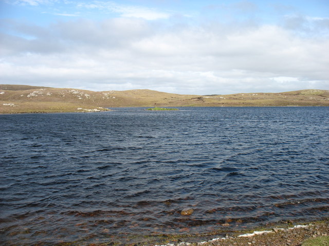
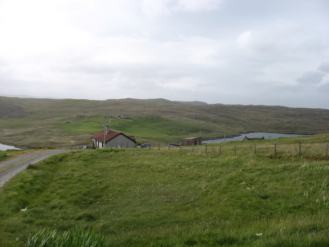
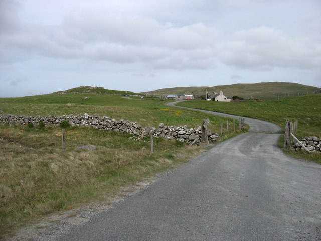
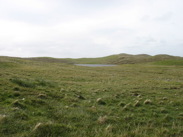
Birka Vird, also known as the Shetland Hill or Mountain, is a prominent geographical feature located in the Shetland Islands of Scotland. It stands tall at an elevation of approximately 450 meters (1,480 feet), making it one of the highest points in the region. Birka Vird is situated in the central part of the Shetland Mainland, specifically in the southern part of the island.
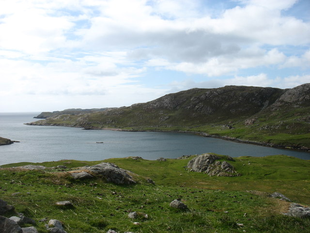
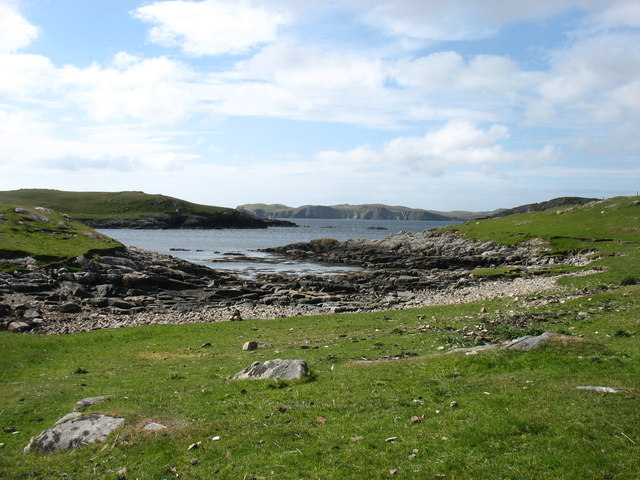
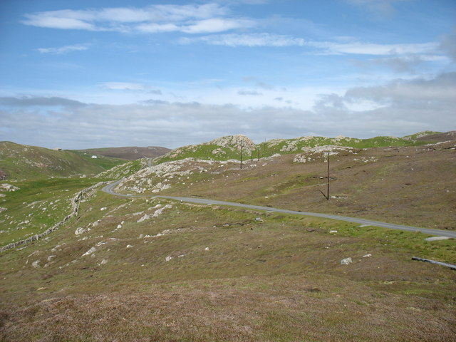
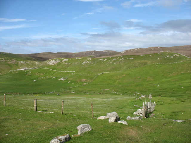
The hill/mountain boasts a visually striking appearance, characterized by its rugged and rocky terrain. Its slopes are covered in a mixture of heather, grasses, and scattered shrubs, adding to its natural charm. The summit offers breathtaking panoramic views of the surrounding landscape, including the vast expanse of the North Atlantic Ocean and the neighboring islands of Shetland.
Birka Vird is a popular destination for outdoor enthusiasts, particularly hikers and climbers who enjoy the challenge of its steep slopes. The hill/mountain provides various routes for exploration, accommodating individuals of different skill levels. Those who venture to its peak are rewarded with a sense of accomplishment and the opportunity to witness the stunning beauty of the Shetland archipelago.
In addition to its natural appeal, Birka Vird holds historical significance as well. The hill/mountain is believed to have been a site of ancient settlements, with remnants of Iron Age structures discovered in its vicinity. These archaeological findings contribute to the rich cultural heritage of the Shetland Islands and provide insights into the lives of its past inhabitants.
Overall, Birka Vird stands as a majestic landmark in the Shetland Islands, offering a blend of natural beauty, recreational opportunities, and historical intrigue to those who explore its slopes.
If you have any feedback on the listing, please let us know in the comments section below.
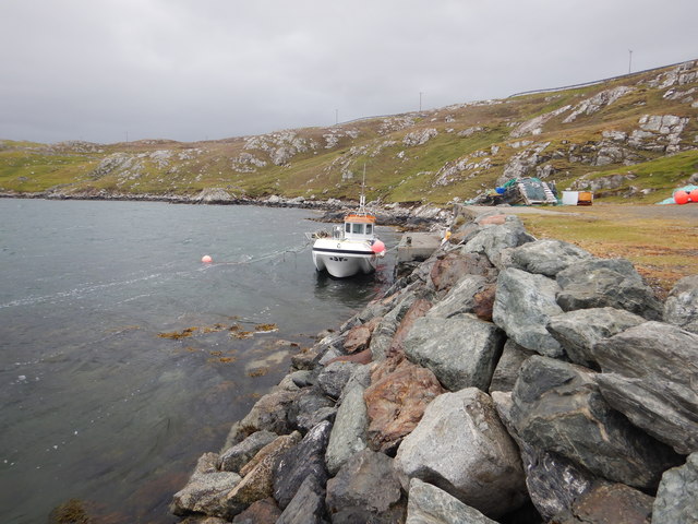
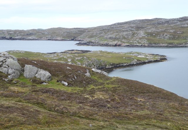
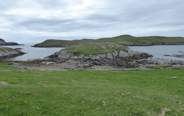
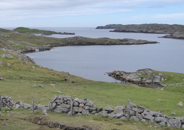
Birka Vird Images
Images are sourced within 2km of 60.454542/-1.4278582 or Grid Reference HU3174. Thanks to Geograph Open Source API. All images are credited.


Birka Vird is located at Grid Ref: HU3174 (Lat: 60.454542, Lng: -1.4278582)
Unitary Authority: Shetland Islands
Police Authority: Highlands and Islands
What 3 Words
///movements.annotated.defected. Near Brae, Shetland Islands
Nearby Locations
Related Wikis

Gunnister
Gunnister is a small 'abandoned' village at the North-West Mainland in Shetland, Scotland. It is most commonly known for the Gunnister Man - the remains...
Punds Water
Punds Water is a freshwater loch near Mangaster in Northmavine, Shetland. It also gives its name to a nearby Neolithic heel-shaped cairn. == Heel-shaped... ==

Hillswick
Hillswick is a small village in Northmavine, on the shore of the Atlantic Ocean and lies to the north-north west of Mainland, Shetland, the most northerly...
Sullom
Sullom is a village on the Shetland peninsula of Northmavine, between Haggrister and Bardister. It lies on the northwest side of Sullom Voe, to which it...

Eela Water
Eela Water is a freshwater loch (lake) in Northmavine, part of the mainland of Shetland in Scotland. Besides being a freshwater fishing location, the site...

Northmavine
Northmavine or Northmaven (Old Norse: Norðan Mæfeið, meaning ‘the land north of the Mavis Grind’) is a peninsula in northwest Mainland Shetland in Scotland...

Assater
Assater (also spelled Assetter) is a hamlet on Mainland, in Shetland, Scotland. Assater is situated in the parish of Northmaven. It is about 1.3 miles...

The Drongs
The Drongs are a group of sea stacks off the coast of Hillswick Ness, Northmavine, Shetland, Scotland. They lie to the west of the Isle of Westerhouse...
Nearby Amenities
Located within 500m of 60.454542,-1.4278582Have you been to Birka Vird?
Leave your review of Birka Vird below (or comments, questions and feedback).