Aa Skerry
Island in Shetland
Scotland
Aa Skerry
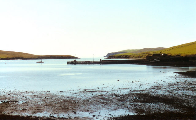
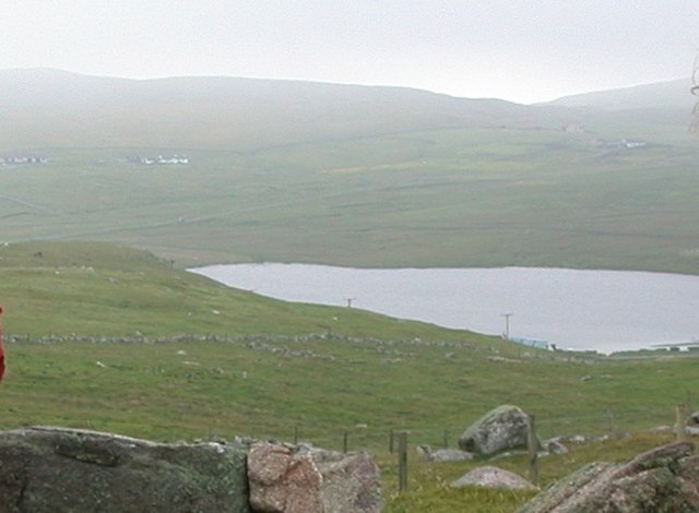
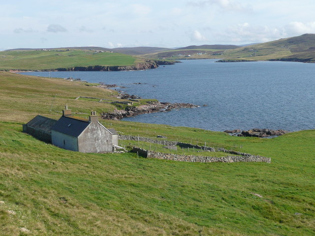
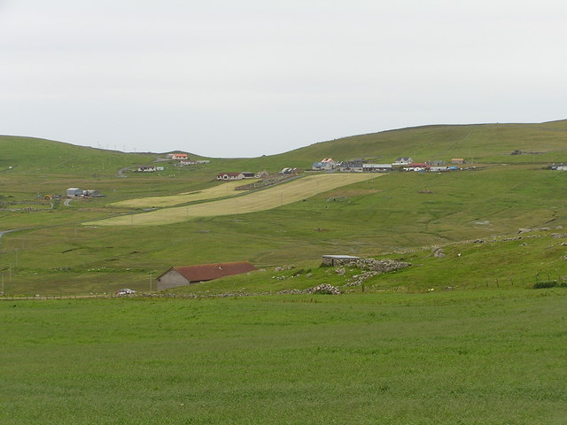
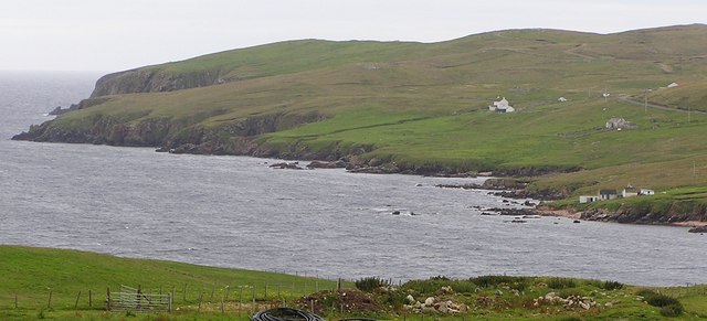
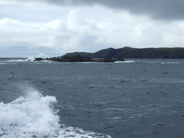
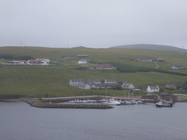
Aa Skerry is a small island located off the coast of Shetland, Scotland. It is part of the Shetland Islands, which are situated in the North Atlantic Ocean. Aa Skerry is known for its picturesque landscapes, rugged cliffs, and abundant wildlife.
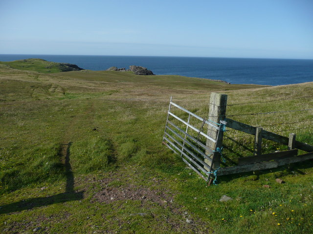
The island is characterized by its rocky terrain, with steep cliffs that provide nesting sites for a variety of seabirds, including puffins, guillemots, and fulmars. These birds create a lively atmosphere during the breeding season, with their calls and bustling activity.
Aa Skerry is also home to a diverse range of marine life. Seals can often be spotted lounging on the rocks or swimming in the surrounding waters. The island's waters are teeming with fish, making it a popular destination for anglers.
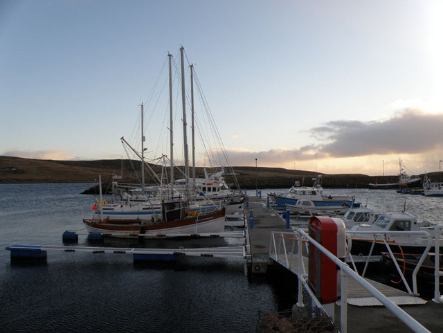
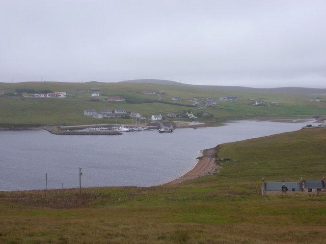
Visitors to Aa Skerry can enjoy hiking along the island's coastal paths, taking in the breathtaking views of the sea and the neighboring islands. The island is accessible by boat, and there are guided tours available for those who wish to explore its natural wonders.
The tranquility and untouched beauty of Aa Skerry make it an ideal destination for nature lovers and those seeking a peaceful retreat. Its remote location and unspoiled environment offer a unique experience, allowing visitors to connect with nature and appreciate the wonders of the natural world.
If you have any feedback on the listing, please let us know in the comments section below.
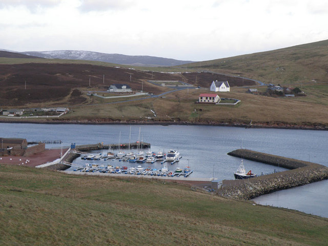
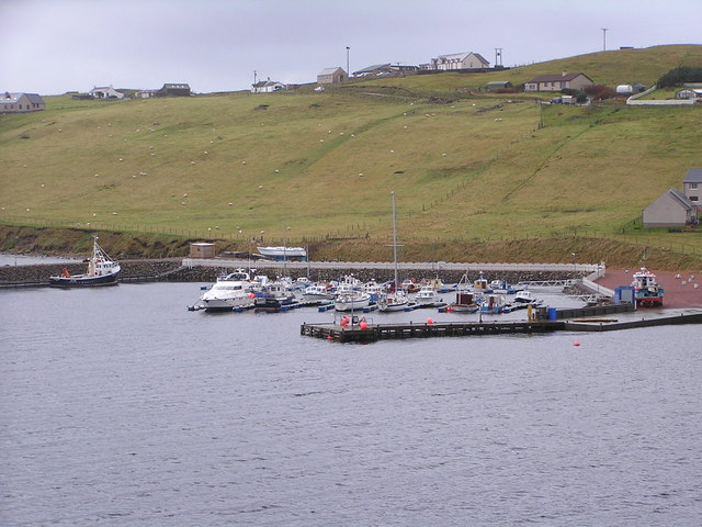
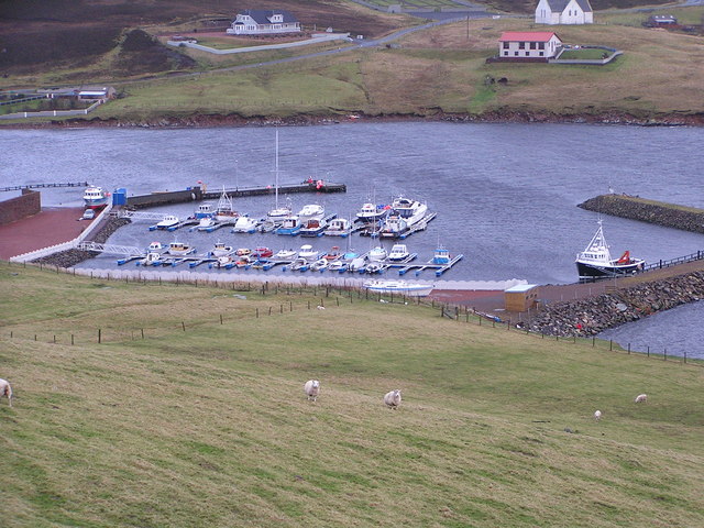
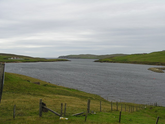
Aa Skerry Images
Images are sourced within 2km of 60.167787/-1.4363803 or Grid Reference HU3142. Thanks to Geograph Open Source API. All images are credited.
Aa Skerry is located at Grid Ref: HU3142 (Lat: 60.167787, Lng: -1.4363803)
Unitary Authority: Shetland Islands
Police Authority: Highlands and Islands
What 3 Words
///idea.patching.tallest. Near Scalloway, Shetland Islands
Nearby Locations
Related Wikis

Silwick
Silwick, a once thriving community in the West Mainland, Shetland, Scotland about three miles from Skeld, is now almost deserted. The area has dramatic...

Skeld
Skeld (Old Norse: Skjolðr, Shield or shelter) refers to two villages on the south side of the West Mainland of Shetland, Scotland. The main village is...

Westerwick
Westerwick is a settlement on Mainland in Shetland, Scotland. The settlement is within the parish of Sandsting. It faces south with high cliffs on both...

Hildasay
Hildasay (Scots: Hildasay; Old Norse: Hildisey) (from the Old Norse masculine name Hildir with ey "island"), also known as Hildisay, is an uninhabited...

Cheynies
The Cheynies are a group of reefs and small islands, between Oxna and Hildasay in the Shetland Islands, Scotland. They have been considerably eroded in...
North Havra
North Havra (Old Norse: Hafrey, ocean island) is a small island off south west Shetland. It is 30 metres at its highest point. Situated 1/3 mile from the...

Linga, Scalloway Islands
Linga is a small island off Hildasay in the Shetland Islands. It is one of the Scalloway Islands. Haswell-Smith compares Hildasay and the adjacent islands...

Sandsting
Sandsting is a parish in the West Mainland of Shetland, Scotland, forming a southern arm of the Walls Peninsula. After the parish of Aithsting was annexed...
Have you been to Aa Skerry?
Leave your review of Aa Skerry below (or comments, questions and feedback).