Point of Crotaing
Coastal Feature, Headland, Point in Orkney
Scotland
Point of Crotaing

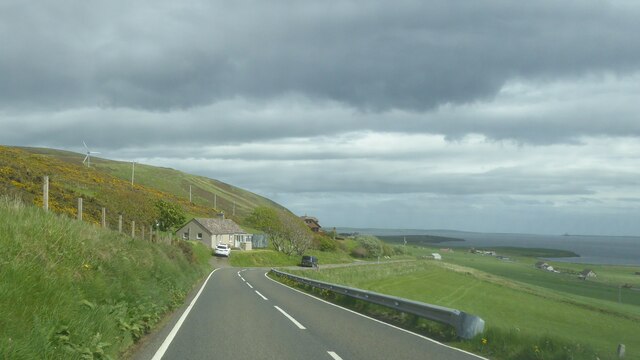
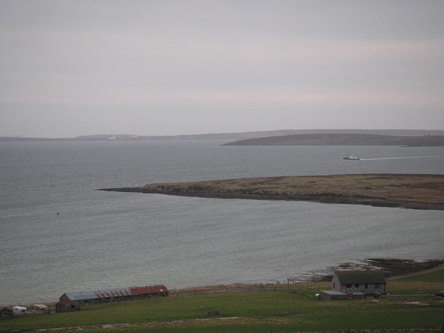
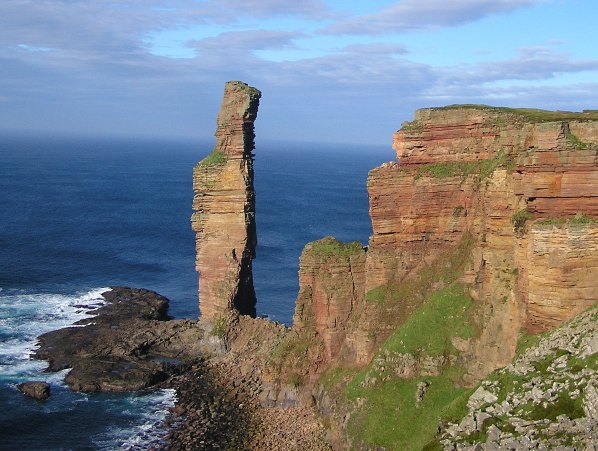
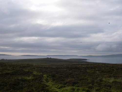
Point of Crotaing is a prominent coastal feature located in Orkney, a group of islands situated off the northeastern coast of Scotland. It is a headland that juts out into the North Sea, offering breathtaking views of the surrounding landscape.
Standing at an impressive height, Point of Crotaing is characterized by rugged cliffs that are battered by the relentless waves of the sea. The headland is composed of layers of sedimentary rock, which have been shaped and eroded by the forces of nature over millions of years.
The coastal area around Point of Crotaing is known for its diverse wildlife and rich marine ecosystem. Seabirds such as puffins, gannets, and fulmars can be spotted nesting on the cliffs, while seals can often be seen basking on the nearby rocks.
The headland is also of historical significance, with evidence of human occupation dating back thousands of years. Archaeological remains, including ancient settlements and burial sites, have been discovered in the vicinity, providing valuable insights into the region's past.
Due to its picturesque beauty and ecological importance, Point of Crotaing has become a popular destination for nature enthusiasts, hikers, and birdwatchers. Visitors can explore the rugged coastline, walk along the cliff paths, or simply soak in the breathtaking scenery. The headland's remote location and unspoiled natural surroundings make it a tranquil and awe-inspiring place to visit.
If you have any feedback on the listing, please let us know in the comments section below.
Point of Crotaing Images
Images are sourced within 2km of 58.910159/-3.1848909 or Grid Reference HY3103. Thanks to Geograph Open Source API. All images are credited.


![Postbox New Romec postbox [KW17 13] above the ferry terminal at Houton](https://s2.geograph.org.uk/geophotos/04/63/24/4632454_7c9cd837.jpg)


Point of Crotaing is located at Grid Ref: HY3103 (Lat: 58.910159, Lng: -3.1848909)
Unitary Authority: Orkney Islands
Police Authority: Highlands and Islands
What 3 Words
///bake.twisty.deflation. Near Orphir, Orkney Islands
Nearby Locations
Related Wikis
Holm of Houton
The Holm of Houton is one of the southern Orkney islands. == Geography == The Holm is in Midland Harbour, part of Scapa Flow. It is south of the Mainland...
Houton
Houton is a settlement 5 miles (8.0 km) southeast of Stromness on the island of Mainland, Orkney, Scotland. The settlement is within the parish of Orphir...

Scuttling of the German fleet at Scapa Flow
Shortly after the end of the First World War, the Imperial German Navy was scuttled by its sailors while held off the harbour of the British Royal Navy...
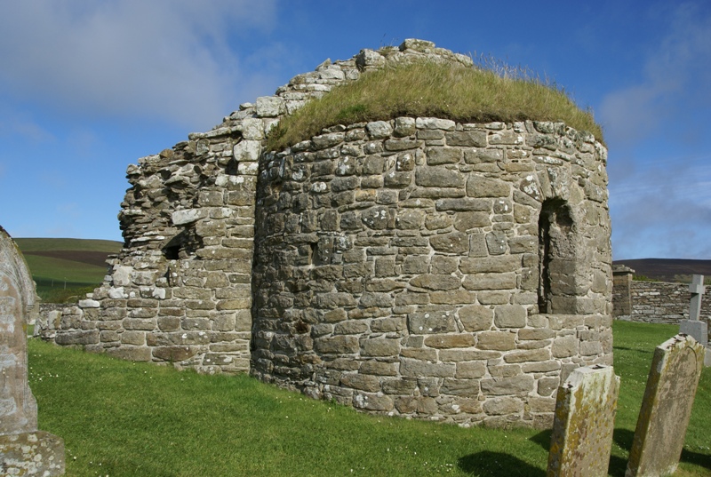
Orphir Round Church
The remains of the Orphir Round Church (or Round Kirk), also St Nicholas's Church, are located in Orphir Parish on the Mainland, Orkney, Scotland. It has...

SMS Brummer
SMS Brummer was a minelaying light cruiser of the German Kaiserliche Marine; she was the lead ship of her class. Her sister ship was Bremse. Brummer was...

Orphir
Orphir (pronounced , Old Norse: Jorfjara/Orfjara) is a parish and settlement on Mainland, Orkney, Scotland. It is approximately 9 miles (14 kilometres...
Hoy and West Mainland National Scenic Area
Hoy and West Mainland is a national scenic area (NSA) covering parts of the islands of Hoy and Mainland in the Orkney Islands of Scotland, as well as...
Cava, Orkney
Cava is an uninhabited island in the Orkney archipelago in Scotland. It is 107 hectares (0.41 sq mi) in extent and rises to 38 metres (125 ft) above sea...
Have you been to Point of Crotaing?
Leave your review of Point of Crotaing below (or comments, questions and feedback).