Rubha Mòr
Coastal Feature, Headland, Point in Argyllshire
Scotland
Rubha Mòr
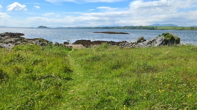
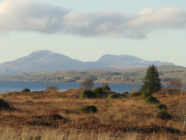
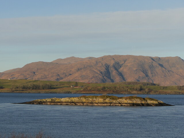
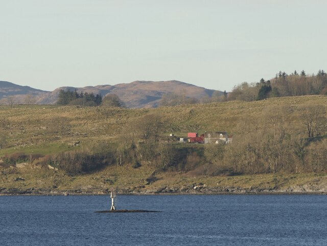
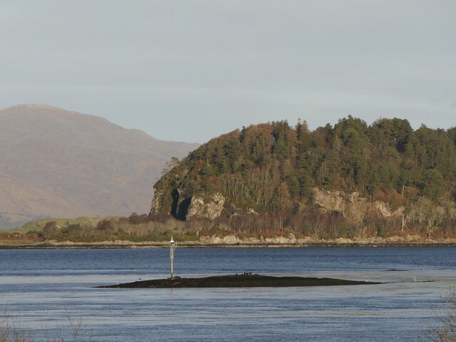
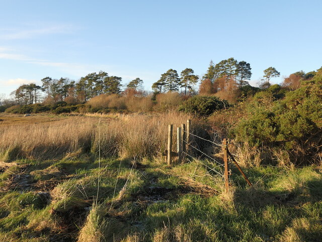
Rubha Mòr is a prominent headland located in Argyllshire, Scotland. Situated on the western coast of the country, this coastal feature is renowned for its stunning natural beauty and rich history.
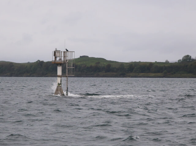
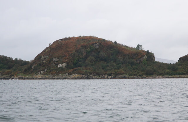
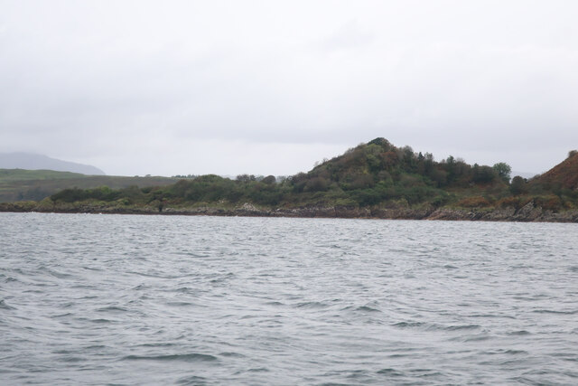
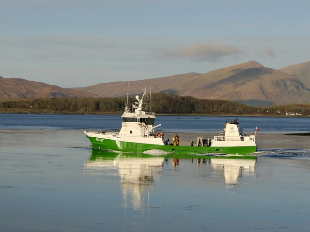
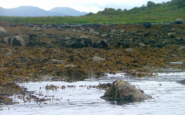
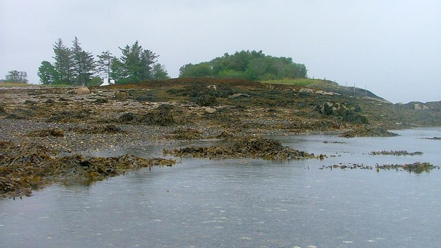
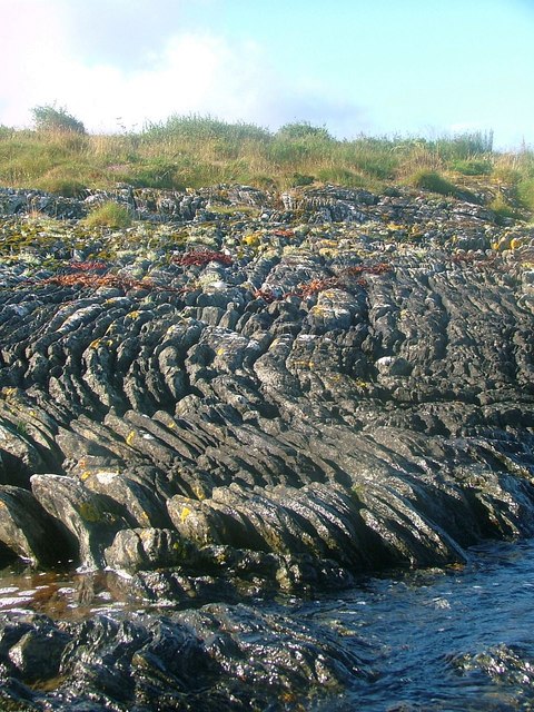
The headland is characterized by its rugged cliffs that extend out into the Atlantic Ocean, providing picturesque views of the surrounding landscape. With its strategic location, Rubha Mòr has served as an important landmark for sailors and navigators for centuries.
The area surrounding Rubha Mòr is abundant in diverse flora and fauna, making it a popular destination for nature enthusiasts. The headland is home to various species of seabirds, including puffins, gannets, and guillemots. Visitors can witness these magnificent creatures nesting and fishing in the surrounding waters.
In addition to its natural splendor, Rubha Mòr also holds historical significance. The headland is home to the remains of an ancient fort, which is believed to have been inhabited during the Iron Age. This fortification offers insights into the early human settlement in the area and attracts archaeologists and history enthusiasts alike.
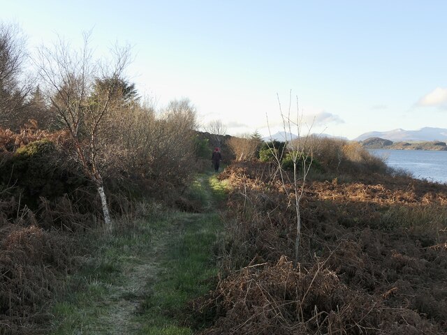
For those seeking outdoor activities, Rubha Mòr offers opportunities for hiking and coastal walks. The headland is part of a larger coastal trail that allows visitors to explore the surrounding coastline and enjoy panoramic views of the ocean.
Overall, Rubha Mòr in Argyllshire provides a captivating blend of natural beauty, wildlife, and historical significance. Whether one is interested in exploring the rugged cliffs, observing seabirds in their natural habitat, or delving into the area's ancient past, this headland offers a truly enriching experience for all who visit.
If you have any feedback on the listing, please let us know in the comments section below.
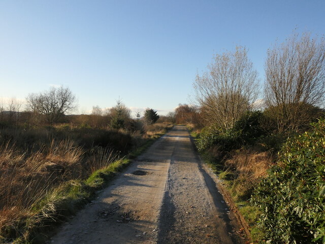
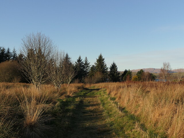
Rubha Mòr Images
Images are sourced within 2km of 56.525503/-5.4293648 or Grid Reference NM8942. Thanks to Geograph Open Source API. All images are credited.

Rubha Mòr is located at Grid Ref: NM8942 (Lat: 56.525503, Lng: -5.4293648)
Unitary Authority: Argyll and Bute
Police Authority: Argyll and West Dunbartonshire
What 3 Words
///spaces.events.tungsten. Near Oban, Argyll & Bute
Nearby Locations
Related Wikis

Eriska
Eriska is a flat tidal island at the entrance to Loch Creran on the west coast of Scotland. Privately owned by the Buchanan-Smiths from 1973 until August...

Tirefour Castle
Tirefour Castle, (or Tirefour Broch, also spelled Tirfuir and Tirrefour) is an Iron Age broch located 4 kilometres north of Achnacroish on the island of...

Airds Bay
Airds Bay is a small bay south-west of Port Appin on the west coast of Scotland. It is located at the south-western end of Appin in Argyll and Bute, forming...

St Moluag's Cathedral, Lismore
St Moluag's Cathedral is located on the Scottish island of Lismore just off the coast of Oban. As a congregation of the Church of Scotland, which is Presbyterian...
Have you been to Rubha Mòr?
Leave your review of Rubha Mòr below (or comments, questions and feedback).