Eriska Village
Settlement in Argyllshire
Scotland
Eriska Village
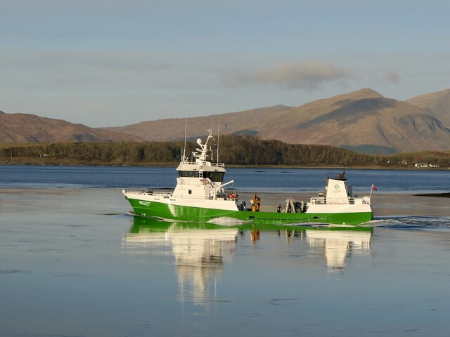
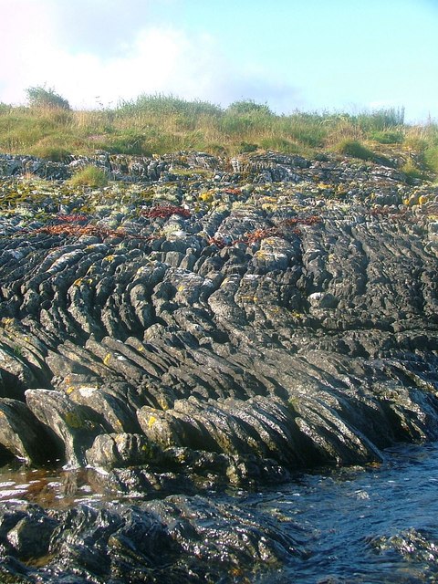
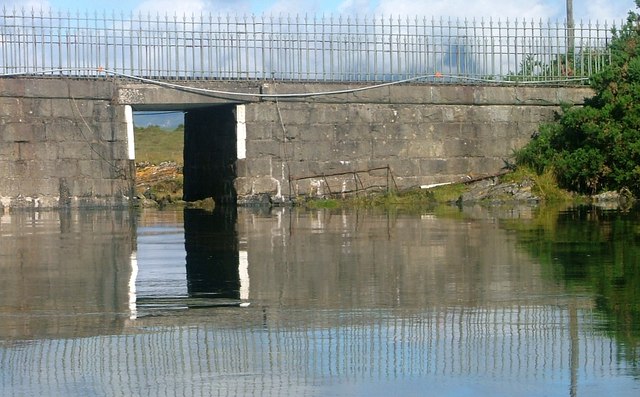
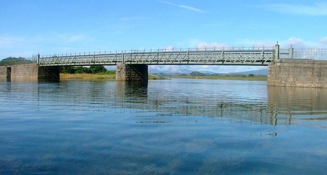
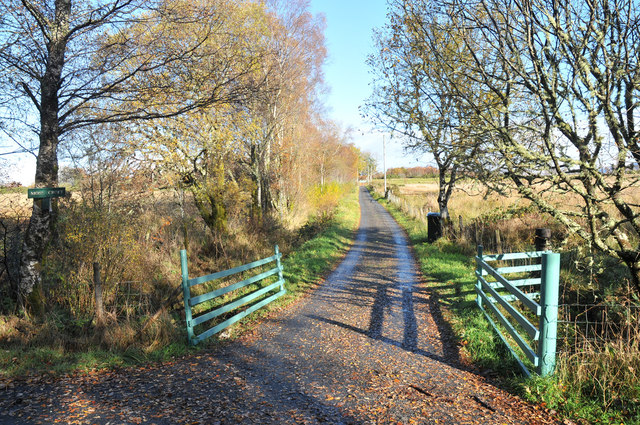
Eriska Village is a charming settlement located on the Isle of Eriska, off the west coast of Scotland in Argyllshire. Situated near the town of Oban, this idyllic village is nestled amidst stunning natural surroundings. The island itself spans over 300 acres and is accessible by a private bridge, offering a sense of seclusion and tranquility.
Eriska Village is renowned for its luxurious and exclusive resort, the Isle of Eriska Hotel. The hotel is housed within a grand Victorian mansion and provides guests with a unique and indulgent experience. The property boasts a range of amenities, including a spa, golf course, and gourmet dining options. The hotel's 25 rooms and suites offer breathtaking views of the surrounding landscape and are elegantly furnished to ensure utmost comfort.
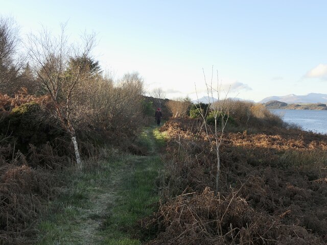
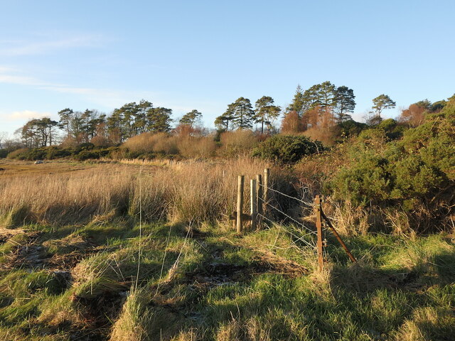
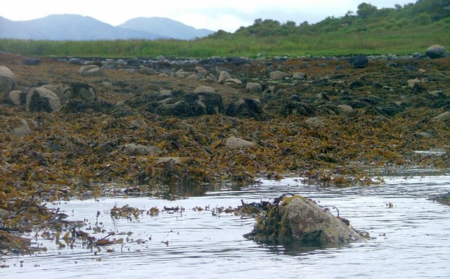
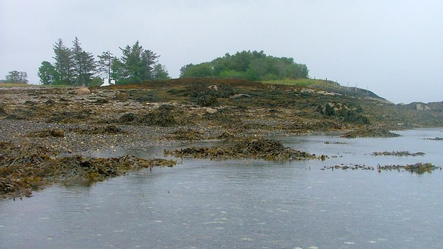
The village is a haven for nature enthusiasts, with opportunities for walking, cycling, and wildlife spotting. The island's diverse ecosystem includes woodland, meadows, and a private beach, providing ample opportunities to explore and appreciate the natural beauty of the area. Additionally, the hotel provides outdoor activities such as archery, clay pigeon shooting, and fishing.
For those seeking relaxation and rejuvenation, the resort's spa offers a range of treatments and therapies, including massages, facials, and holistic therapies. The hotel's award-winning restaurant serves up a delectable array of dishes crafted from locally sourced ingredients, showcasing the region's culinary delights.
Eriska Village is a destination that seamlessly combines luxury, natural beauty, and tranquility, making it a haven for those seeking a peaceful retreat amidst the breathtaking landscapes of Argyllshire.
If you have any feedback on the listing, please let us know in the comments section below.
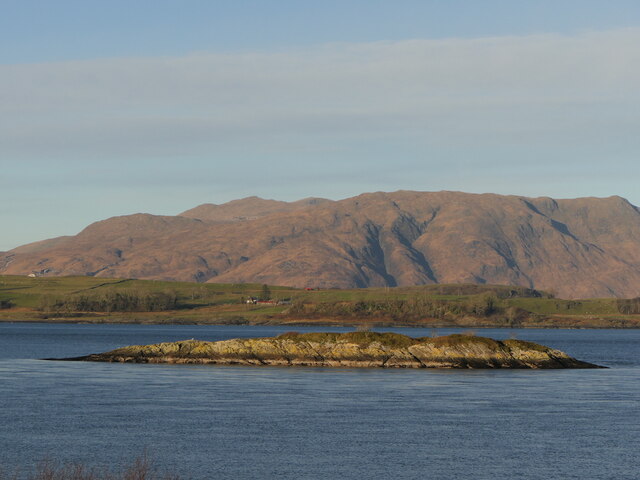
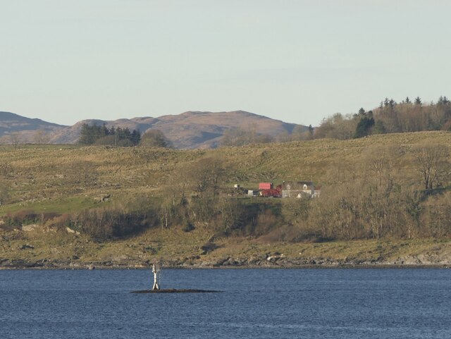
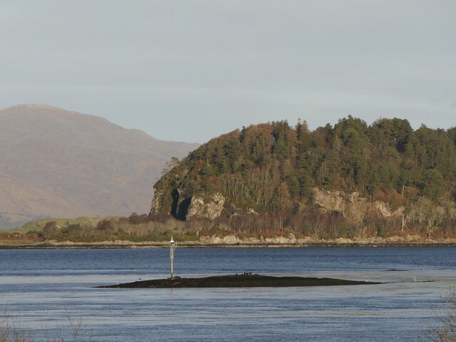
Eriska Village Images
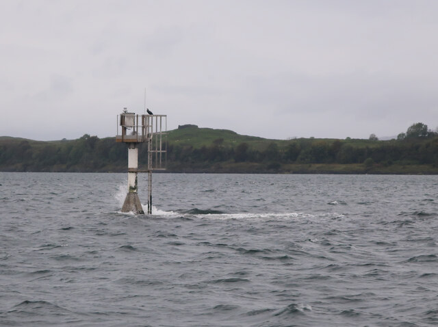
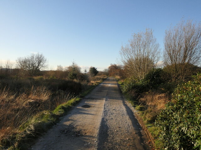
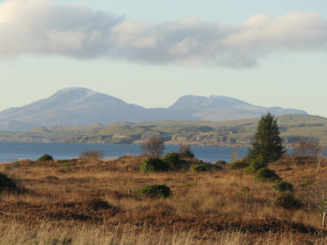
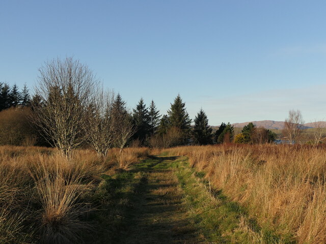
Images are sourced within 2km of 56.523283/-5.4185593 or Grid Reference NM8942. Thanks to Geograph Open Source API. All images are credited.

Eriska Village is located at Grid Ref: NM8942 (Lat: 56.523283, Lng: -5.4185593)
Unitary Authority: Argyll and Bute
Police Authority: Argyll and West Dunbartonshire
What 3 Words
///broached.blueberry.scars. Near Oban, Argyll & Bute
Nearby Locations
Related Wikis

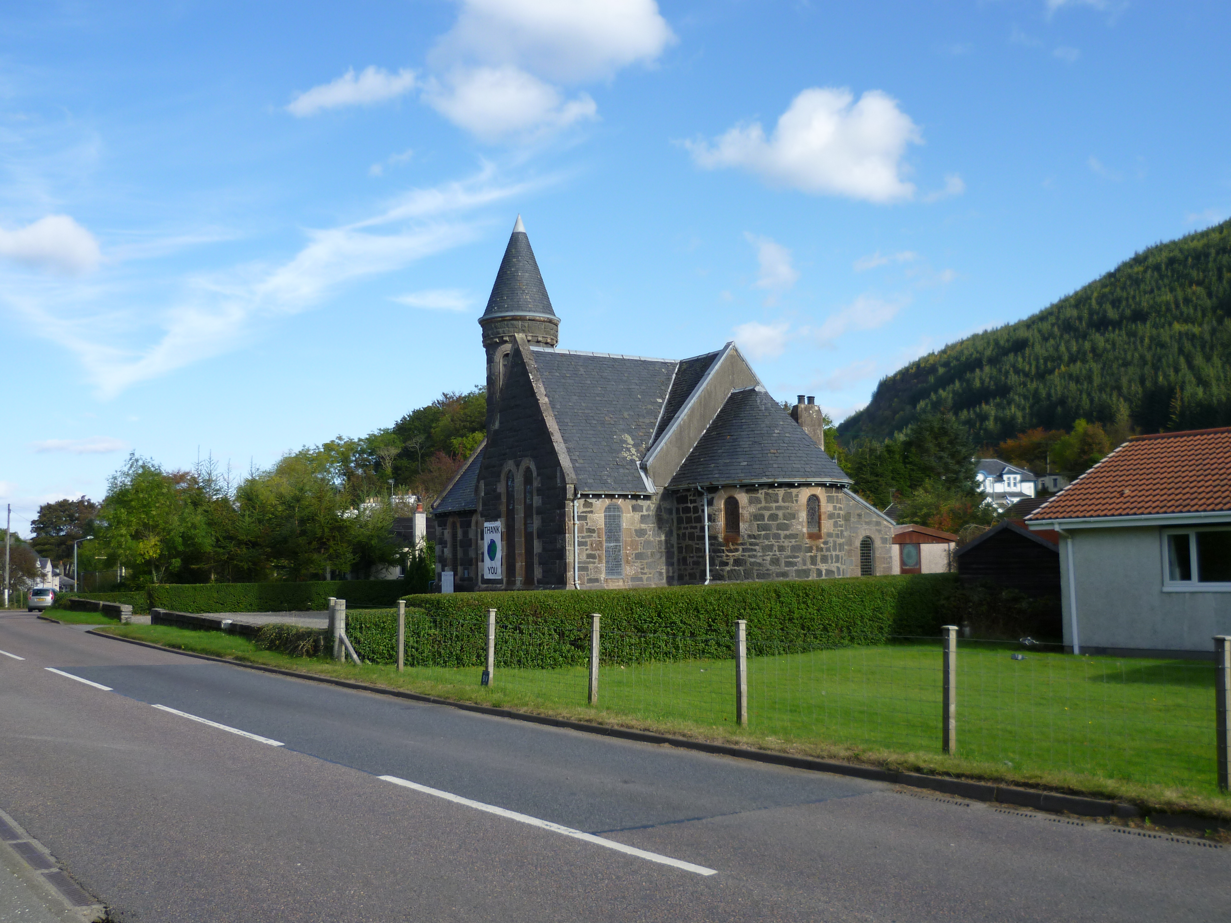
Eriska
Eriska is a flat tidal island at the entrance to Loch Creran on the west coast of Scotland. Privately owned by the Buchanan-Smiths from 1973 until August...

Airds Bay
Airds Bay is a small bay south-west of Port Appin on the west coast of Scotland. It is located at the south-western end of Appin in Argyll and Bute, forming...

Tirefour Castle
Tirefour Castle, (or Tirefour Broch, also spelled Tirfuir and Tirrefour) is an Iron Age broch located 4 kilometres north of Achnacroish on the island of...
Benderloch
Benderloch (Scottish Gaelic: Meadarloch, pronounced [ˈmet̪əɾl̪ˠɔx]) is a village in Argyll and Bute, Scotland. The name is derived from Beinn eadar dà...

Benderloch railway station
Benderloch was a railway station located in Benderloch, Argyll and Bute, on the north east shore of Ardmucknish Bay. It was on the Ballachulish branch...

St Moluag's Cathedral, Lismore
St Moluag's Cathedral is located on the Scottish island of Lismore just off the coast of Oban. As a congregation of the Church of Scotland, which is Presbyterian...

Castle Coeffin
Castle Coeffin is a ruin on the island of Lismore, an island in Loch Linnhe, in Argyll, on the west coast of Scotland. It stands on a promontory on the...

Achnacroish
Achnacroish (Scottish Gaelic: Achadh na Croise) is a hamlet on the Scottish island of Lismore. The harbour serves the ferry between Lismore and Oban.The...
Nearby Amenities
Located within 500m of 56.523283,-5.4185593Have you been to Eriska Village?
Leave your review of Eriska Village below (or comments, questions and feedback).