Ardintoul Point
Coastal Feature, Headland, Point in Ross-shire
Scotland
Ardintoul Point
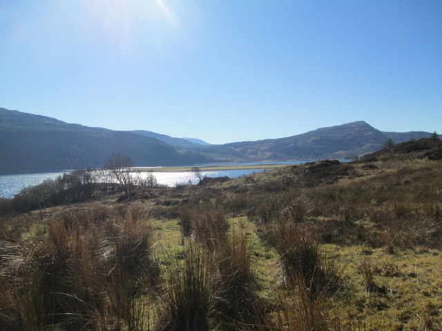
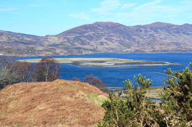
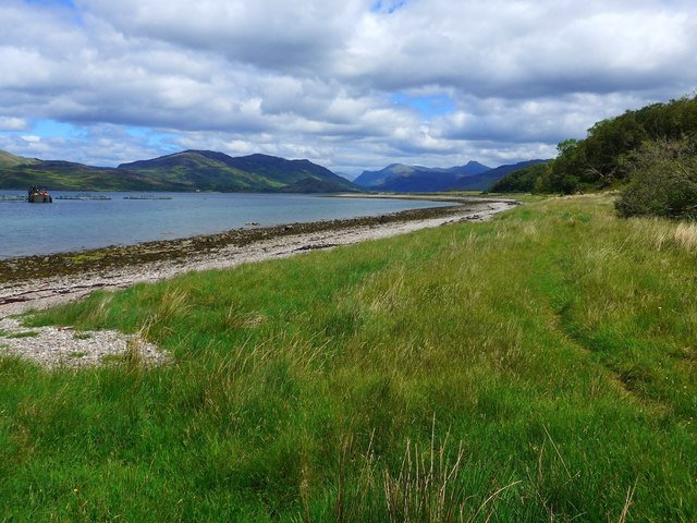
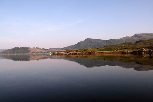
Ardintoul Point is a prominent coastal feature located in Ross-shire, Scotland. Situated in the remote and picturesque area of the Scottish Highlands, it is a headland that juts out into the North Atlantic Ocean. This rugged point offers breathtaking panoramic views of the surrounding landscape, characterized by dramatic cliffs, rocky outcrops, and vast expanses of open sea.
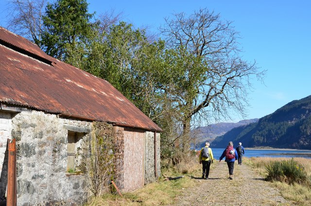
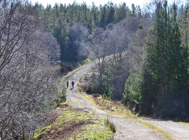
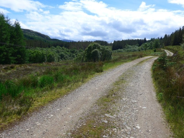
The point is accessible via a scenic coastal path that winds its way through rolling hills and offers visitors the opportunity to observe the region's diverse wildlife and flora. Seabirds, such as gannets and puffins, can often be spotted soaring above the cliffs, while seals and dolphins may occasionally be seen swimming in the waters below. The area is also home to a variety of plant species, including heather, gorse, and wildflowers, adding to the natural beauty of the location.
Ardintoul Point is a popular destination for outdoor enthusiasts, particularly hikers and birdwatchers. The headland offers a range of walking trails, varying in difficulty and length, catering to both experienced trekkers and casual walkers. These paths provide an excellent opportunity to explore the rugged coastline and appreciate the unspoiled beauty of the Scottish Highlands.
Due to its remote location, Ardintoul Point offers a peaceful and tranquil atmosphere, ideal for those seeking a break from the hustle and bustle of everyday life. Whether one is interested in immersing themselves in nature, capturing stunning photographs, or simply enjoying a leisurely stroll, Ardintoul Point is a coastal gem that promises a memorable and enriching experience.
If you have any feedback on the listing, please let us know in the comments section below.
Ardintoul Point Images
Images are sourced within 2km of 57.25877/-5.5942541 or Grid Reference NG8324. Thanks to Geograph Open Source API. All images are credited.


Ardintoul Point is located at Grid Ref: NG8324 (Lat: 57.25877, Lng: -5.5942541)
Unitary Authority: Highland
Police Authority: Highlands and Islands
What 3 Words
///collision.shed.fictional. Near Glenelg, Highland
Nearby Locations
Related Wikis
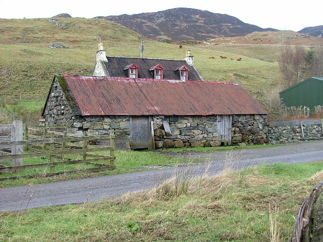
Avernish
Avernish (Scottish Gaelic: Abhairnis) is a small, scenic, rural community located in the Highlands of Scotland. Nearby attractions include The Eilean...

Kyle Rhea
Kyle Rhea is a strait of water in the Highland area of Scotland. It runs from the Inner Seas off the West Coast of Scotland in the southwest to Loch Alsh...
Ardelve
Ardelve (Scottish Gaelic: Àird Eilbh) is a village in Highland, Scotland, on Loch Alsh. It overlooks the Eilean Donan Castle, which is in Dornie, also...
Auchtertyre
Auchtertyre (Scottish Gaelic: Uachdar Thìre, "Upper Land") is a village, lying half a mile from the north shore of Loch Alsh near Kyle of Lochalsh, in...

Balmacara Square
Balmacara Square (Scottish Gaelic: Ceàrnag Bhaile Mac Carra) is a small village, close to Balmacara, in Lochlash, Scottish Highlands and is in the council...
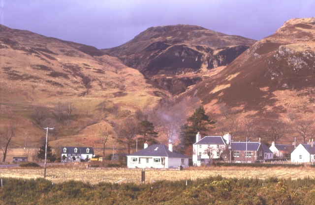
Balmacara
Balmacara (Scottish Gaelic: Baile MacRath) is a scattered village on the north shore of Loch Alsh near Kyle of Lochalsh, Ross-shire, Highland and is in...
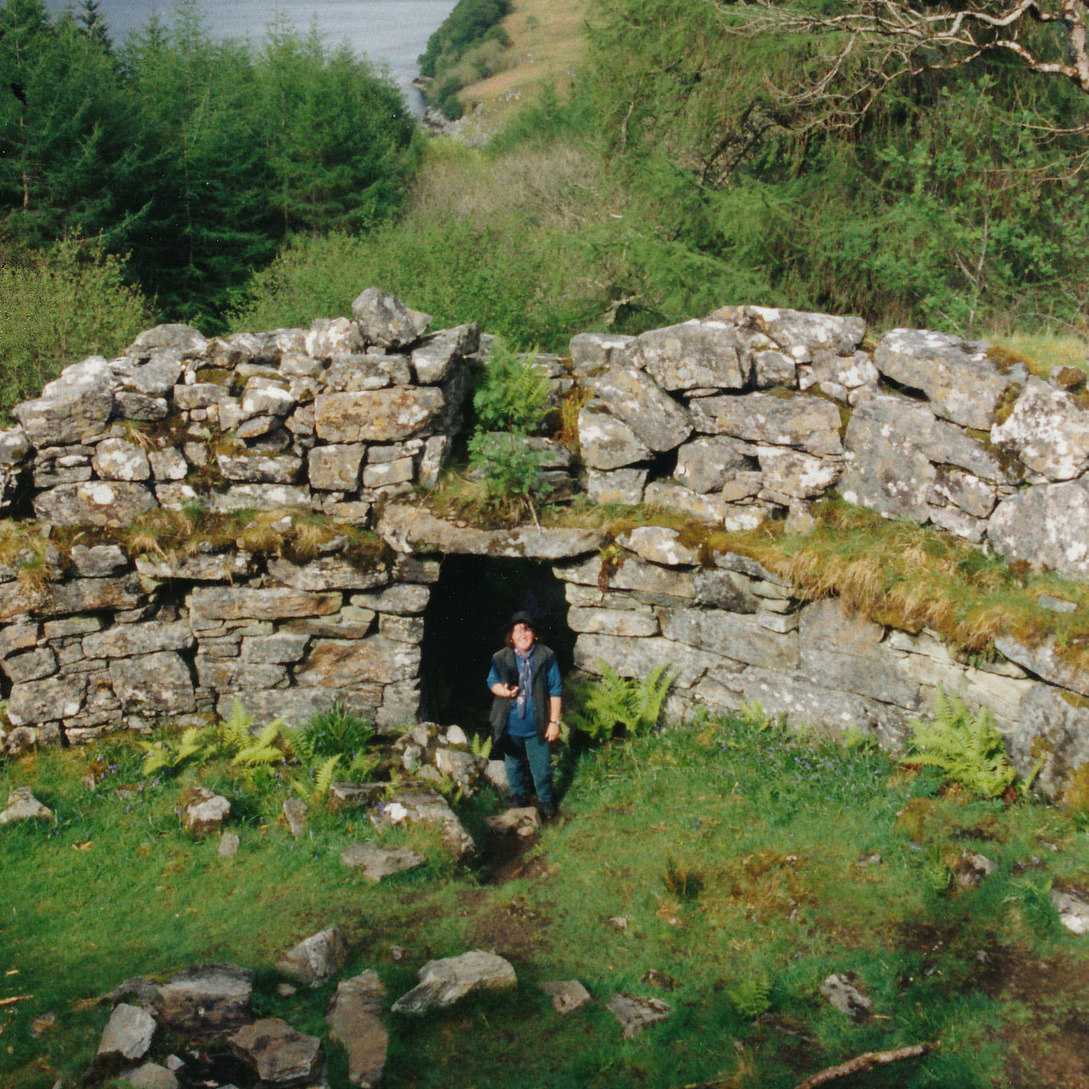
Caisteal Grugaig
Caisteal Grugaig (or Dun Totaig) is an Iron Age broch near the eastern end of Loch Alsh in the Scottish Highlands (grid reference NG86682508). == Location... ==

Nostie
Nostie (Scottish Gaelic: Ceann na Mòna) is a small remote hamlet, lying on Nostie Bay, an inlet at the northeastern end of the sea loch, Loch Alsh in the...
Nearby Amenities
Located within 500m of 57.25877,-5.5942541Have you been to Ardintoul Point?
Leave your review of Ardintoul Point below (or comments, questions and feedback).