Àird a' Mheallaidh
Coastal Feature, Headland, Point in Ross-shire
Scotland
Àird a' Mheallaidh

Àird a' Mheallaidh is a prominent coastal feature situated in Ross-shire, Scotland. It is a headland that juts out into the North Atlantic Ocean, forming a distinctive point along the rugged coastline. The name Àird a' Mheallaidh translates to "headland of the rounded hill" in Scottish Gaelic, which is a fitting description of this geographical formation.
The headland is characterized by steep cliffs that are formed from layers of sedimentary rock, providing a dramatic backdrop to the crashing waves below. These cliffs are home to a variety of seabirds, including guillemots, puffins, and fulmars, making it a popular spot for birdwatching enthusiasts.
At the tip of Àird a' Mheallaidh, there is a small, secluded beach tucked away in a sheltered cove. This sandy beach is accessible only by foot and offers a peaceful retreat for those seeking solitude or a picturesque spot for a picnic.
The headland is surrounded by a wild and untamed landscape, with rolling hills and heather-covered moors extending inland. This creates a stunning contrast between the rugged coastline and the gentle, open countryside.
Àird a' Mheallaidh is a well-known landmark in the area, attracting visitors who come to appreciate its natural beauty and rugged charm. It is a popular destination for coastal walks, providing panoramic views of the surrounding sea and coastline.
Overall, Àird a' Mheallaidh is a captivating coastal feature that showcases the raw beauty of the Scottish coastline. Its towering cliffs, secluded beach, and untamed surroundings make it a must-see destination for nature lovers and outdoor enthusiasts alike.
If you have any feedback on the listing, please let us know in the comments section below.
Àird a' Mheallaidh Images
Images are sourced within 2km of 57.528649/-5.621054 or Grid Reference NG8354. Thanks to Geograph Open Source API. All images are credited.


Àird a' Mheallaidh is located at Grid Ref: NG8354 (Lat: 57.528649, Lng: -5.621054)
Unitary Authority: Highland
Police Authority: Highlands and Islands
What 3 Words
///incursion.snapping.eagle. Near Lochcarron, Highland
Nearby Locations
Related Wikis
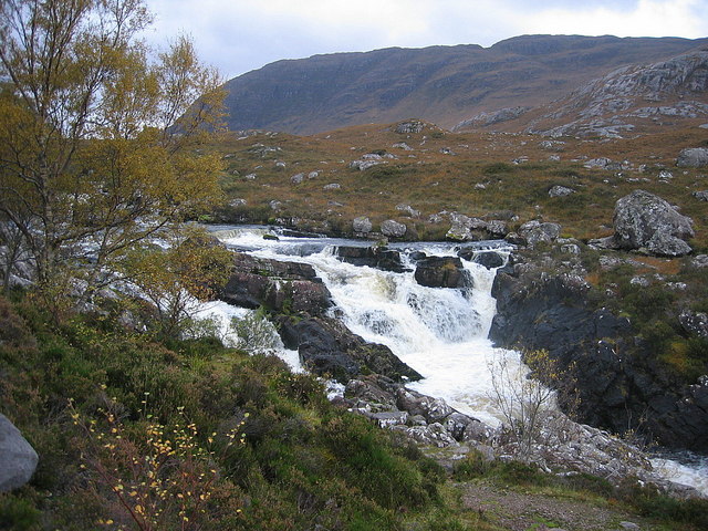
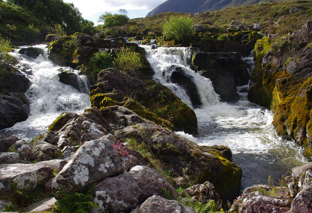
Falls of Balgy
Falls of Balgy is a waterfall near Torridon in Scotland. == See also == Waterfalls of Scotland == References ==
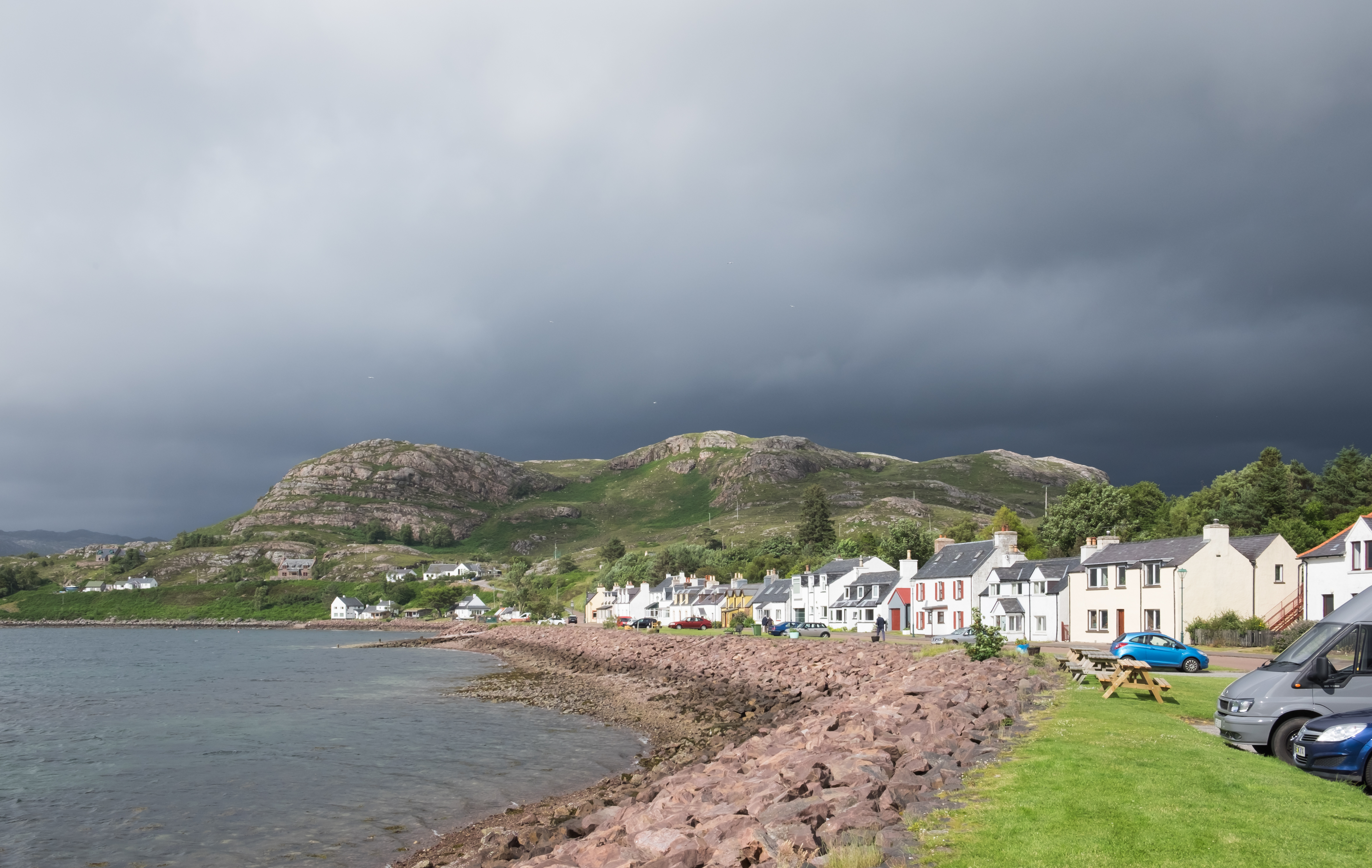
Shieldaig
Shieldaig (Scottish Gaelic: Sìldeag; Old Norse: síld-vík, lit. 'herring bay') is a village in Wester Ross in the Northwest Highlands, in the Scottish council...

Inveralligin
Inveralligin (Scottish Gaelic: Inbhir Àiliginn) is a remote crofting township which lies on the north shore of Loch Torridon in Wester Ross and is in the...

Annat, Highland
Annat (Scottish Gaelic: An Annaid) is a small village at the eastern end of Upper Loch Torridon in Wester Ross, in the Highland council area of Scotland...
Related Videos

Quiet (vlog)
Shhhhh. I'm off work. Music: Sleeping Sails by Year of the Deer https://www.epidemicsound.com/track/2NhCwCQsv0/
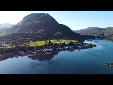
Less is more (vlog)
Time away in Scotland. Music: Purple Fire by ELFL https://www.epidemicsound.com/track/BMjG87LJ9Z/

Bealach Beag sportive 2023
Great weather for a great ride and the closed road over the pass is the icing on the cake. Fantastic organisation by Hands On ...
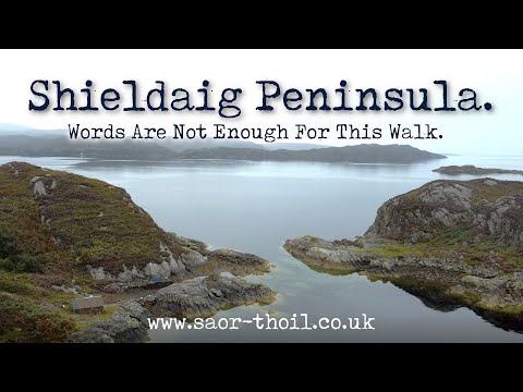
Unveiling Scotland's Best-Kept Secret: Shieldaig Peninsula Walk.
Words Cannot Really Describe This Wee Place! We have been to Torridon many times now but have not had the pleasure of the ...
Nearby Amenities
Located within 500m of 57.528649,-5.621054Have you been to Àird a' Mheallaidh?
Leave your review of Àird a' Mheallaidh below (or comments, questions and feedback).