Audley End
Settlement in Norfolk South Norfolk
England
Audley End
Audley End is a historic country estate located in Saffron Walden, Essex, England. Although mentioned as Audley End, Norfolk in the prompt, it is important to note that Audley End is not located in Norfolk, but in Essex. The estate sits on the site of a former Benedictine monastery and has a rich history dating back to the 12th century.
The centerpiece of Audley End is the grand Jacobean mansion that was rebuilt in the 17th century by Thomas Howard, the First Earl of Suffolk. The mansion features stunning architecture with its red brick exterior and elaborate decorative details. Visitors can explore the opulent interior, including the magnificent state rooms, elegant galleries, and a stunning banqueting hall.
Surrounding the mansion is an extensive landscaped garden covering over 100 acres. The garden is a combination of formal and informal elements, including parterres, terraces, lawns, and woodland areas. The Capability Brown-designed parkland offers picturesque views and is home to a variety of wildlife.
In addition to the mansion and gardens, Audley End is also home to a working stable yard, where visitors can witness the daily routines of horses and staff. The estate also features a Victorian kitchen, where traditional cooking techniques are demonstrated.
Today, Audley End is managed by English Heritage, and it serves as a popular tourist attraction. The estate offers guided tours, educational programs, and hosts various events throughout the year, including reenactments, concerts, and craft fairs. Audley End provides a glimpse into the grandeur of a bygone era, making it a must-visit destination for history enthusiasts and nature lovers alike.
If you have any feedback on the listing, please let us know in the comments section below.
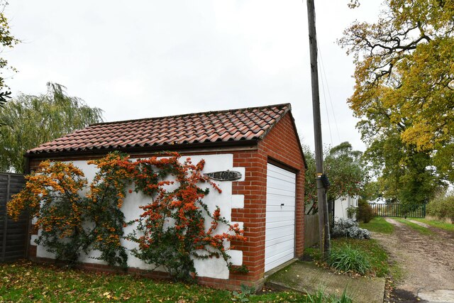
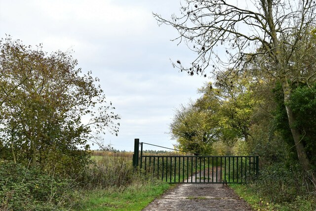
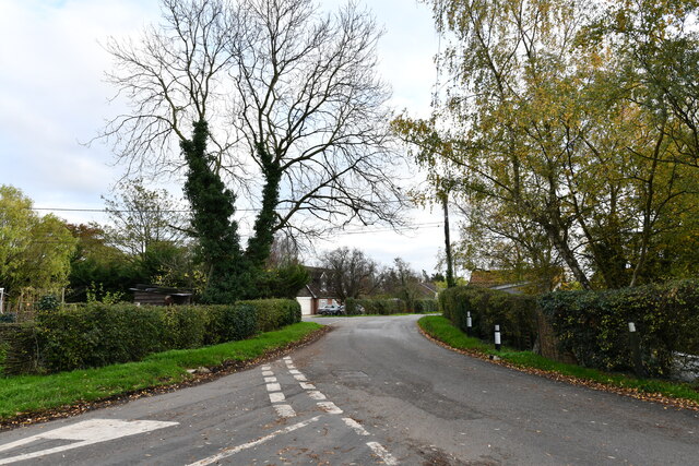
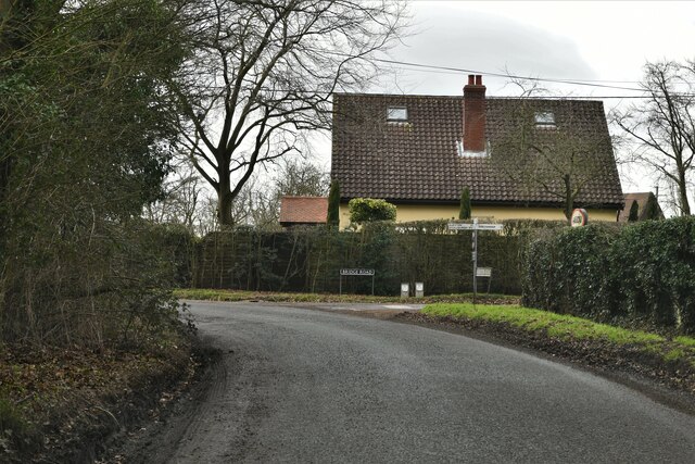
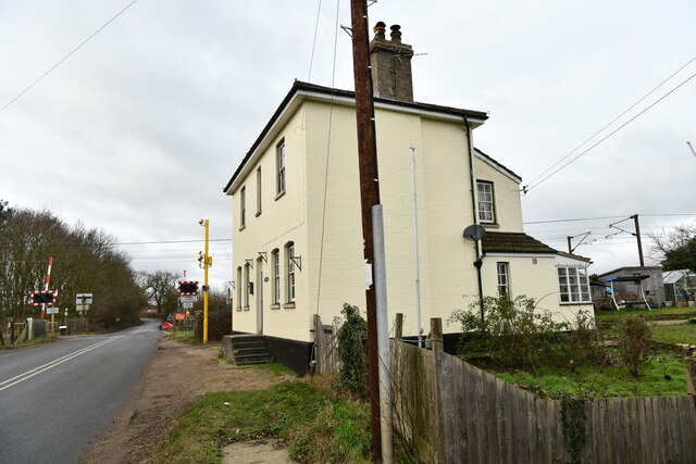
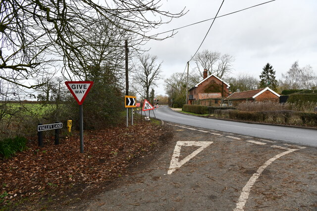
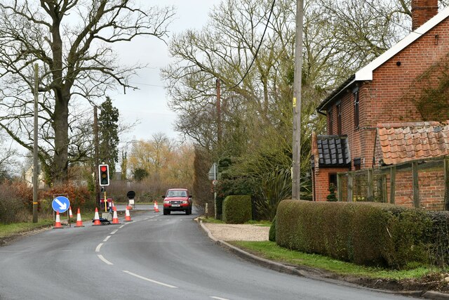
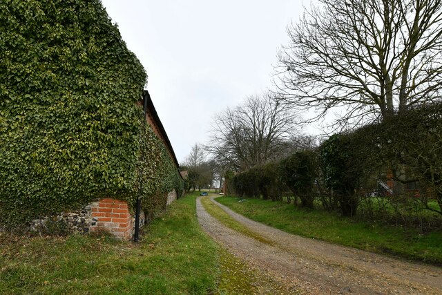
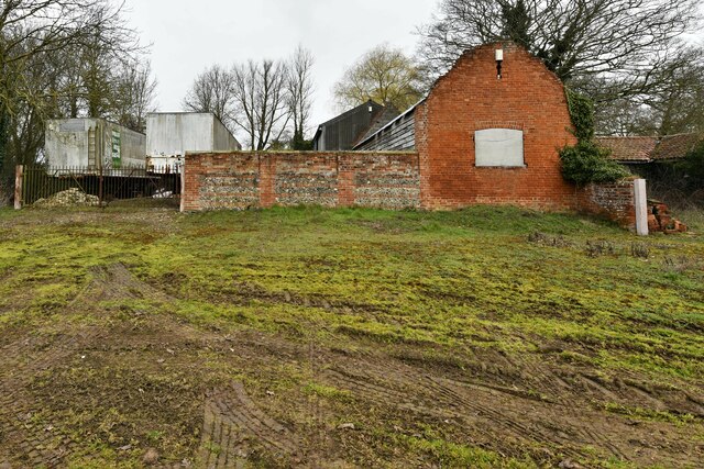
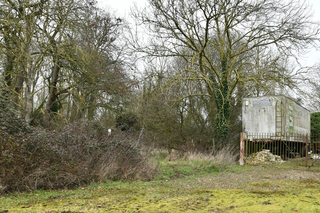
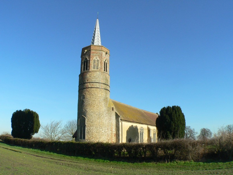
Audley End Images
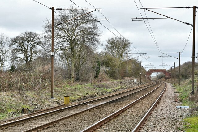
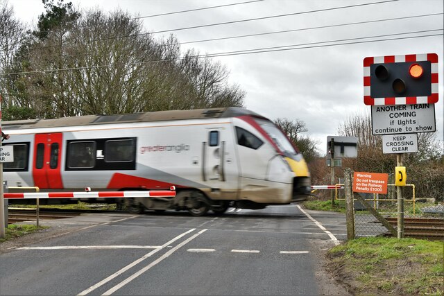
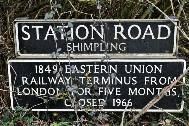
Images are sourced within 2km of 52.399436/1.147186 or Grid Reference TM1482. Thanks to Geograph Open Source API. All images are credited.
Audley End is located at Grid Ref: TM1482 (Lat: 52.399436, Lng: 1.147186)
Administrative County: Norfolk
District: South Norfolk
Police Authority: Norfolk
What 3 Words
///assess.following.forgotten. Near Dickleburgh, Norfolk
Nearby Locations
Related Wikis
Burston and Shimpling
Burston and Shimpling is a civil parish in the county of Norfolk, England. The parish covers an area of 9.17 km2 (3.54 sq mi) and had a population of 538...

Burston, Norfolk
Burston is a village and former civil parish, now in the parish of Burston and Shimpling, in the South Norfolk district, in the county of Norfolk, England...

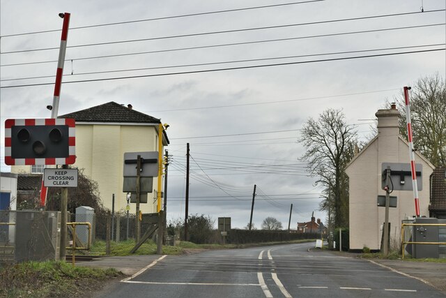
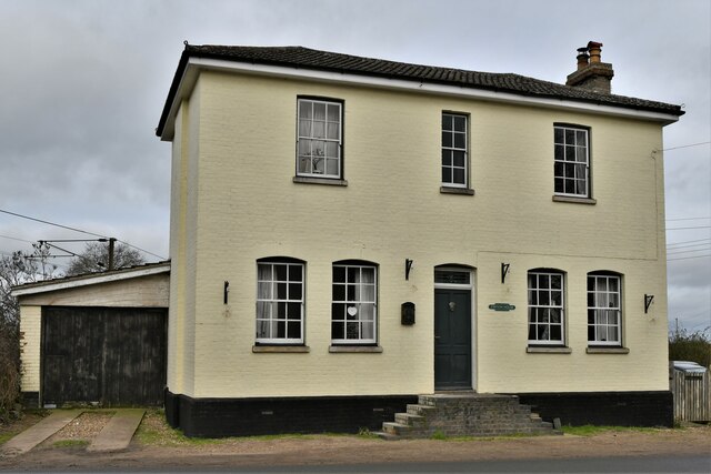
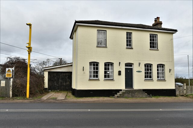
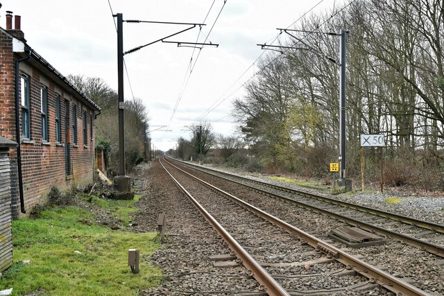
Burston railway station
Burston railway station was on the Diss to Norwich line and served the village of Burston, Norfolk. Only the station building remains; the signal box has...

Burston Strike School
The Burston Strike School was founded as a consequence of a school strike and became the centre of the longest running strike in British history, that...
Nearby Amenities
Located within 500m of 52.399436,1.147186Have you been to Audley End?
Leave your review of Audley End below (or comments, questions and feedback).