Audley End

Settlement in Suffolk Babergh

England

Audley End

Church of All Saints, Lawshall A largely fifteenth century church <span class="nowrap"><a title="https://historicengland.org.uk/listing/the-list/list-entry/1036594" rel="nofollow ugc noopener" href="https://historicengland.org.uk/listing/the-list/list-entry/1036594">Link</a><img style="margin-left:2px;" alt="External link" title="External link - shift click to open in new window" src="https://s1.geograph.org.uk/img/external.png" width="10" height="10"/></span>
Church of All Saints, Lawshall Credit: Jonathan Thacker

Audley End is a historic mansion situated in the picturesque county of Suffolk, England. Located near the village of Saffron Walden, it is renowned for its architectural grandeur and rich history. The mansion was originally built in the 17th century and was the residence of the Bray family for over two centuries.

Covering an area of approximately 1,800 acres, Audley End boasts stunning landscaped gardens, rolling parklands, and a beautiful lake. The mansion itself is an excellent example of Jacobean architecture, characterized by its symmetrical design, ornate carvings, and large, imposing windows. The interior of Audley End is equally impressive, with lavishly decorated rooms that showcase the opulence and grandeur of the time. Visitors can explore various areas of the house, including the impressive state rooms, the servant's quarters, and the kitchen, which provides a fascinating insight into the daily lives of the mansion's inhabitants.

Aside from the mansion, Audley End offers a range of attractions and facilities. The gardens are meticulously maintained and feature a variety of plant species, including a tranquil rose garden and a walled kitchen garden. The estate also includes a miniature railway, which offers a delightful way to explore the grounds. In addition, there are several exhibition rooms, a gift shop, and a café where visitors can relax and enjoy refreshments.

Overall, Audley End in Suffolk is a captivating destination for history enthusiasts, architecture lovers, and nature admirers alike. Its exquisite mansion, stunning grounds, and wealth of attractions make it a must-visit location in the region.

If you have any feedback on the listing, please let us know in the comments section below.
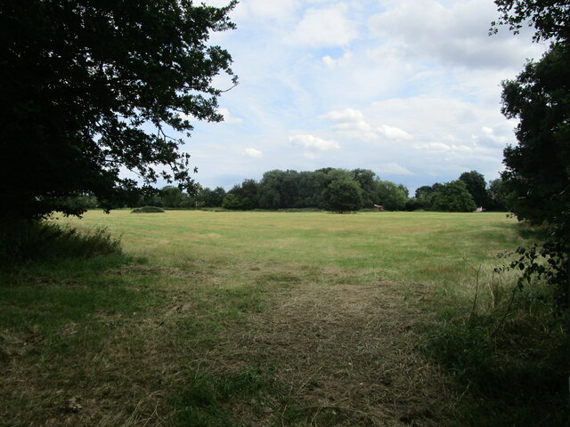
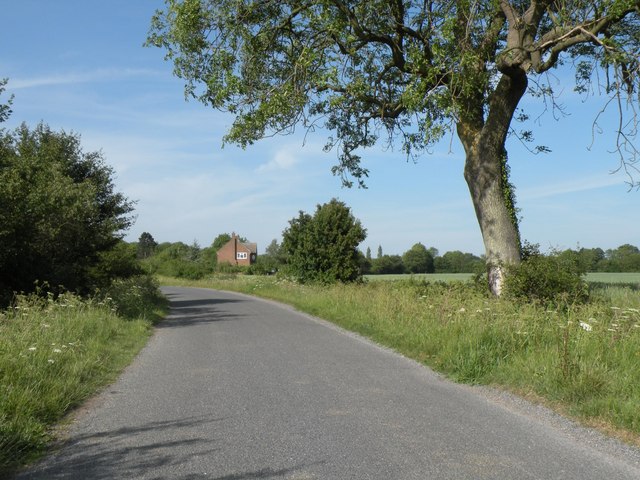
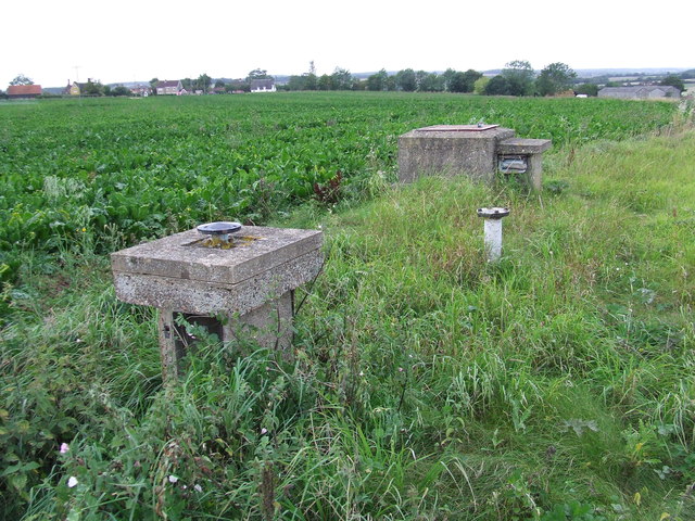
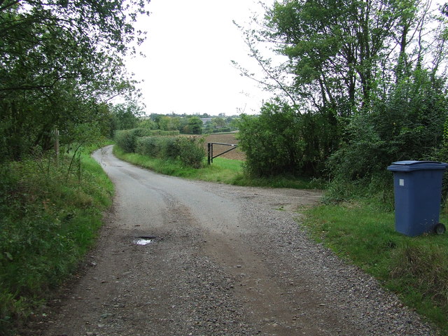
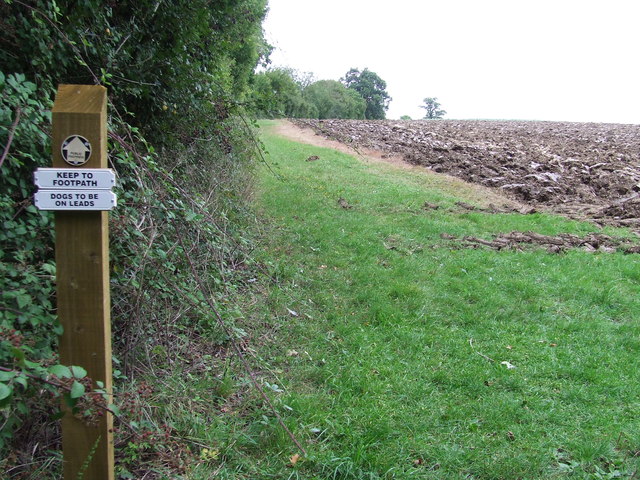
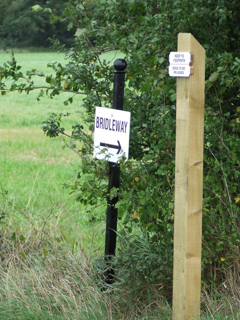
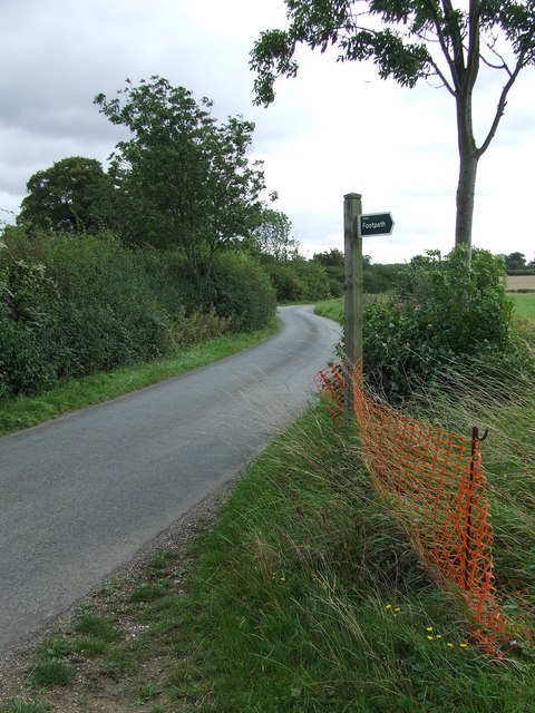
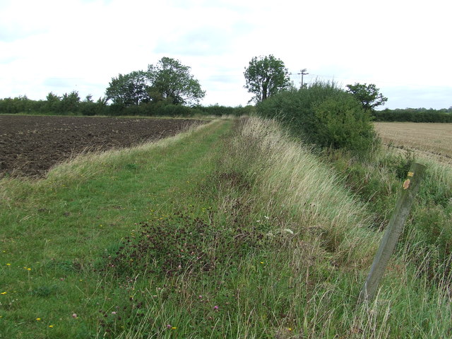
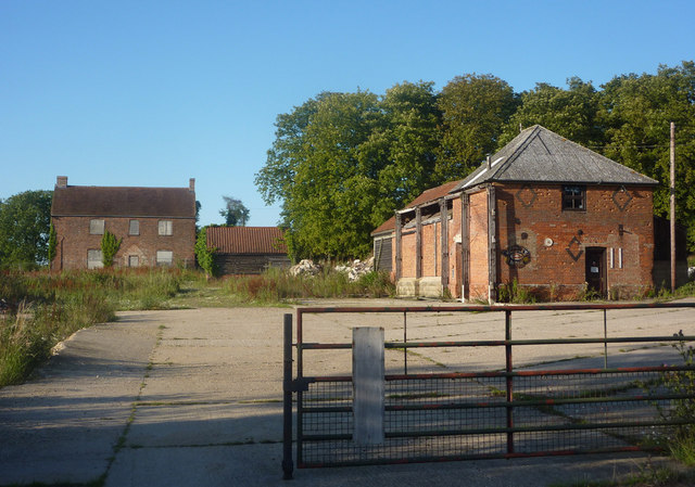
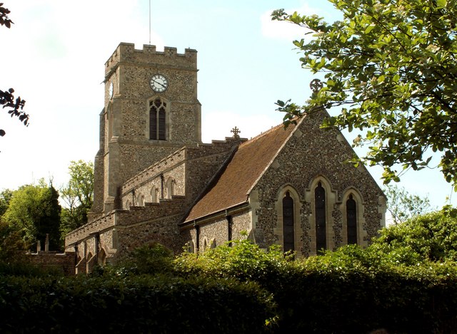
Audley End Images

Images are sourced within 2km of 52.149208/0.710056 or Grid Reference TL8553. Thanks to Geograph Open Source API. All images are credited.

Church of All Saints, Lawshall A largely fifteenth century church <span class="nowrap"><a title="https://historicengland.org.uk/listing/the-list/list-entry/1036594" rel="nofollow ugc noopener" href="https://historicengland.org.uk/listing/the-list/list-entry/1036594">Link</a><img style="margin-left:2px;" alt="External link" title="External link - shift click to open in new window" src="https://s1.geograph.org.uk/img/external.png" width="10" height="10"/></span>
Church of All Saints, Lawshall
A largely fifteenth century church LinkExternal link
Grass field near Lawshall
Part of Cooks Farm
Part of Cooks Farm
Shimpling Road, heading towards Lawshall
Footpath to Shimpling Street from Shimpling Road
Part of Shimpling Road in Lawshall
The approach to Hanningfields Farm
The village sign at Lawshall
Road junction in Lawshall This junction is actually a crossroads.  The road to the right is Melford Road with Bury Road off to the left.  Straight ahead is Lambs Lane and opposite is Golden Lane.
Road junction in Lawshall
This junction is actually a crossroads. The road to the right is Melford Road with Bury Road off to the left. Straight ahead is Lambs Lane and opposite is Golden Lane.
Nuclear Monitoring Post Surface parts of a now unused Royal Observer Corps nuclear monitoring post near to Hartest, Suffolk see <span class="nowrap"><a title="http://www.subbrit.org.uk/rsg/roc/db/988807445.019002.html" rel="nofollow ugc noopener" href="http://www.subbrit.org.uk/rsg/roc/db/988807445.019002.html">Link</a><img style="margin-left:2px;" alt="External link" title="External link - shift click to open in new window" src="https://s1.geograph.org.uk/img/external.png" width="10" height="10"/></span> and <span class="nowrap"><a title="http://en.wikipedia.org/wiki/Royal_Observer_Corps_Monitoring_Post" rel="nofollow ugc noopener" href="http://en.wikipedia.org/wiki/Royal_Observer_Corps_Monitoring_Post">Link</a><img style="margin-left:2px;" alt="External link" title="External link - shift click to open in new window" src="https://s1.geograph.org.uk/img/external.png" width="10" height="10"/></span> for more info.
Nuclear Monitoring Post
Surface parts of a now unused Royal Observer Corps nuclear monitoring post near to Hartest, Suffolk see LinkExternal link and LinkExternal link for more info.
Barns Barns at Lord's Farm near to Hartest, Suffolk.
Barns
Barns at Lord's Farm near to Hartest, Suffolk.
Start Of Public Road Start of the public road near to Hartest, Suffolk.
Start Of Public Road
Start of the public road near to Hartest, Suffolk.
Keep To Footpath Local signs added to public footpath sign near to Hartest, Suffolk.
Keep To Footpath
Local signs added to public footpath sign near to Hartest, Suffolk.
Sunflowers Sunflowers near to Hartest, Suffolk.
Sunflowers
Sunflowers near to Hartest, Suffolk.
Local signs Local sign plus a public footpath sign near to Hartest, Suffolk.
Local signs
Local sign plus a public footpath sign near to Hartest, Suffolk.
Concrete Footpath Sign Concrete footpath sign off Lawshall Road near to Hartest, Suffolk. This must be the only concrete footpath sign I have seen in Suffolk as they seem to use only wooden ones. They are a very common sight in the neighbouring county of Essex.
Concrete Footpath Sign
Concrete footpath sign off Lawshall Road near to Hartest, Suffolk. This must be the only concrete footpath sign I have seen in Suffolk as they seem to use only wooden ones. They are a very common sight in the neighbouring county of Essex.
Footpath Sign Lawshall Road and footpath sign near to Hartest, Suffolk.
Footpath Sign
Lawshall Road and footpath sign near to Hartest, Suffolk.
Footpath Footpath looking north near to Hartest, Suffolk.
Footpath
Footpath looking north near to Hartest, Suffolk.
Show me another place!

Audley End is located at Grid Ref: TL8553 (Lat: 52.149208, Lng: 0.710056)

Administrative County: Suffolk

District: Babergh

Police Authority: Suffolk

What 3 Words

///newlyweds.telephone.chess. Near Glemsford, Suffolk

Related Wikis

Frithy and Chadacre Woods

Frithy and Chadacre Woods is a 28.7-hectare (71-acre) biological Site of Special Scientific Interest (SSSI) in the parishes of Lawshall and Shimpling in...

Lawshall Hall

Lawshall Hall is a Grade II* listed building, re-built in 1557, that is located in the parish of Lawshall in Suffolk. The Hall is adjacent to All Saints...

Lawshall

Lawshall is a village and civil parish in Suffolk, England. Located around a mile off the A134 between Bury St Edmunds and Sudbury, it is part of Babergh...

All Saints' Church, Lawshall

The Parish Church of All Saints' Lawshall, is an Anglican church in the village of Lawshall, Suffolk, England. It has been designated by English Heritage...

Harrow Green

Harrow Green is a hamlet in the civil parish of Lawshall in the Babergh district in the county of Suffolk, England. It is located between Lambs Lane and...

Lambs Lane, Lawshall

Lambs Lane is a nuclear settlement in the civil parish of Lawshall in the Babergh district in the county of Suffolk, England. In addition to Lambs Lane...
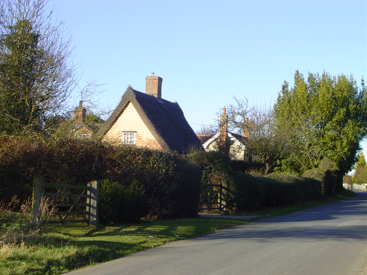
Audley End, Suffolk

Audley End is a hamlet in the civil parish of Lawshall in the Babergh district in the county of Suffolk, England. It is located between Lambs Lane and...

Hanningfield Green

Hanningfield Green, sometimes referred to as Hanningfields Green, is a hamlet in the civil parish of Lawshall in the Babergh district in the county of...

Nearby Amenities

Located within 500m of 52.149208,0.710056
Power: pole
Lat/Long: 52.1517596/0.7104995
Power: pole
Lat/Long: 52.1512189/0.7093245
Power: pole
Lat/Long: 52.1506273/0.7080388
Power: pole
Lat/Long: 52.1523849/0.7118583
Power: pole
Lat/Long: 52.1530431/0.7132933
Power: pole
Lat/Long: 52.14849/0.7033825
Power: pole
Lat/Long: 52.1490661/0.7046592
Power: pole
Lat/Long: 52.1496503/0.7059574
Power: pole
Lat/Long: 52.1501046/0.7069069
The data included in this document is from www.openstreetmap.org. The data is made available under ODbL.

Have you been to Audley End?

Leave your review of Audley End below (or comments, questions and feedback).