Nock's Plantation

Wood, Forest in Suffolk Babergh

England

Nock's Plantation

Part of Cooks Farm
Part of Cooks Farm Credit: Robert Edwards

Nock's Plantation, located in Suffolk, England, is a picturesque woodland area known for its diverse range of flora and fauna. Covering an expansive area of approximately 100 acres, this enchanting forest offers visitors a tranquil and immersive experience in nature.

The woodland is primarily composed of mature oak trees, giving it a distinctively majestic atmosphere. The canopy created by these tall trees forms a natural shelter, providing shade and shelter for a variety of wildlife. Walking through the plantation, one can encounter a plethora of native plants and wildflowers, such as bluebells, primroses, and wild garlic, which add bursts of color to the lush green landscape.

In addition to its natural beauty, Nock's Plantation is also home to a diverse range of wildlife. The forest provides habitat for various bird species, including woodpeckers, owls, and warblers, making it a popular destination for birdwatchers. Small mammals such as squirrels and rabbits can also be spotted scurrying through the undergrowth, while deer can occasionally be seen grazing in the more open areas of the woodland.

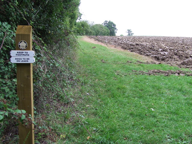
Visitors to Nock's Plantation can explore the forest through a network of well-maintained walking trails, which provide access to different sections of the woodland. These trails offer opportunities for leisurely strolls, invigorating hikes, or even peaceful picnics surrounded by nature's tranquility.

Overall, Nock's Plantation is a haven for nature enthusiasts, offering a captivating blend of natural beauty, wildlife diversity, and recreational opportunities that make it a cherished gem in the Suffolk countryside.

If you have any feedback on the listing, please let us know in the comments section below.

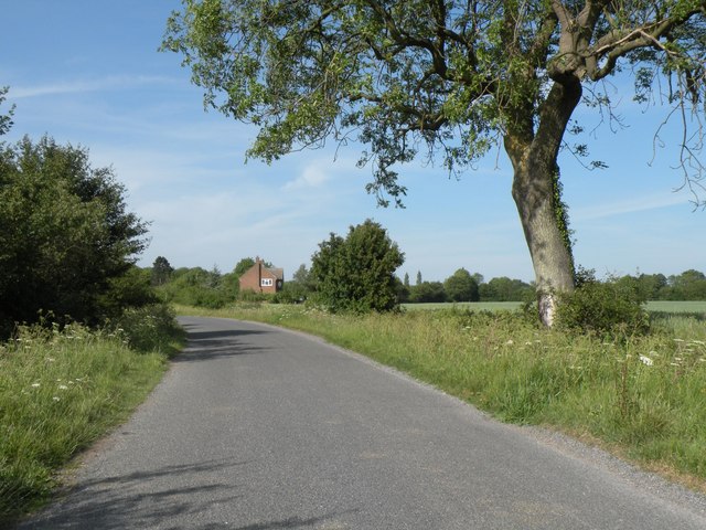
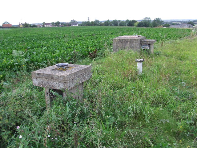
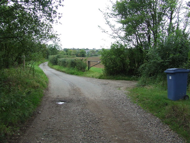
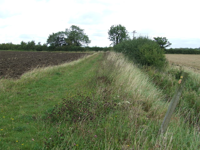
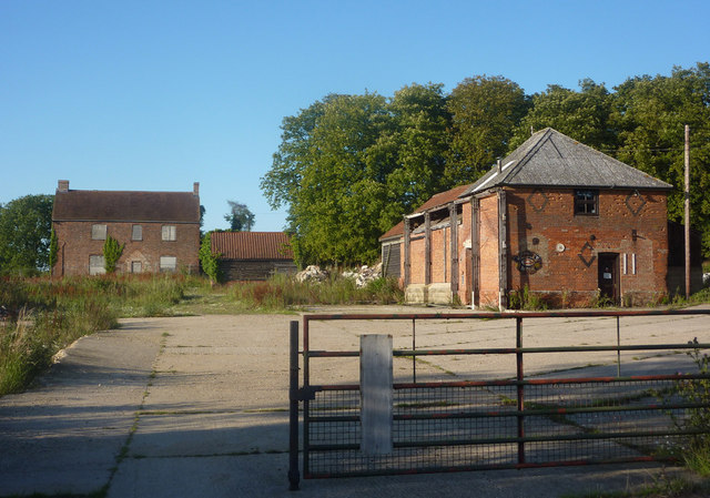
Nock's Plantation Images

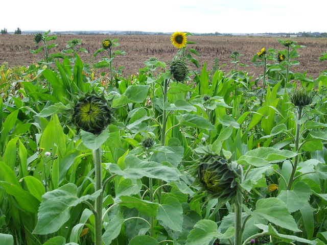
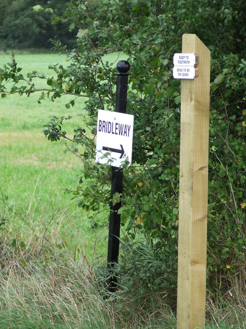
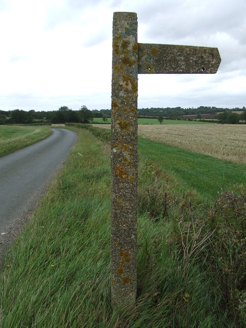
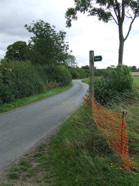
Images are sourced within 2km of 52.144504/0.71149559 or Grid Reference TL8553. Thanks to Geograph Open Source API. All images are credited.

Part of Cooks Farm
Part of Cooks Farm
Shimpling Road, heading towards Lawshall
Footpath to Shimpling Street from Shimpling Road
Part of Shimpling Road in Lawshall
The approach to Hanningfields Farm
The village sign at Lawshall
Road junction in Lawshall This junction is actually a crossroads.  The road to the right is Melford Road with Bury Road off to the left.  Straight ahead is Lambs Lane and opposite is Golden Lane.
Road junction in Lawshall
This junction is actually a crossroads. The road to the right is Melford Road with Bury Road off to the left. Straight ahead is Lambs Lane and opposite is Golden Lane.
Footpath To Chadacre Park Footpath looking east between Hartest Hill and Chadacre Park near to Hartest, Suffolk
Footpath To Chadacre Park
Footpath looking east between Hartest Hill and Chadacre Park near to Hartest, Suffolk
Nuclear Monitoring Post Surface parts of a now unused Royal Observer Corps nuclear monitoring post near to Hartest, Suffolk see <span class="nowrap"><a title="http://www.subbrit.org.uk/rsg/roc/db/988807445.019002.html" rel="nofollow ugc noopener" href="http://www.subbrit.org.uk/rsg/roc/db/988807445.019002.html">Link</a><img style="margin-left:2px;" alt="External link" title="External link - shift click to open in new window" src="https://s1.geograph.org.uk/img/external.png" width="10" height="10"/></span> and <span class="nowrap"><a title="http://en.wikipedia.org/wiki/Royal_Observer_Corps_Monitoring_Post" rel="nofollow ugc noopener" href="http://en.wikipedia.org/wiki/Royal_Observer_Corps_Monitoring_Post">Link</a><img style="margin-left:2px;" alt="External link" title="External link - shift click to open in new window" src="https://s1.geograph.org.uk/img/external.png" width="10" height="10"/></span> for more info.
Nuclear Monitoring Post
Surface parts of a now unused Royal Observer Corps nuclear monitoring post near to Hartest, Suffolk see LinkExternal link and LinkExternal link for more info.
Barns Barns at Lord's Farm near to Hartest, Suffolk.
Barns
Barns at Lord's Farm near to Hartest, Suffolk.
Start Of Public Road Start of the public road near to Hartest, Suffolk.
Start Of Public Road
Start of the public road near to Hartest, Suffolk.
Keep To Footpath Local signs added to public footpath sign near to Hartest, Suffolk.
Keep To Footpath
Local signs added to public footpath sign near to Hartest, Suffolk.
Sunflowers Sunflowers near to Hartest, Suffolk.
Sunflowers
Sunflowers near to Hartest, Suffolk.
Local signs Local sign plus a public footpath sign near to Hartest, Suffolk.
Local signs
Local sign plus a public footpath sign near to Hartest, Suffolk.
Concrete Footpath Sign Concrete footpath sign off Lawshall Road near to Hartest, Suffolk. This must be the only concrete footpath sign I have seen in Suffolk as they seem to use only wooden ones. They are a very common sight in the neighbouring county of Essex.
Concrete Footpath Sign
Concrete footpath sign off Lawshall Road near to Hartest, Suffolk. This must be the only concrete footpath sign I have seen in Suffolk as they seem to use only wooden ones. They are a very common sight in the neighbouring county of Essex.
Footpath Sign Lawshall Road and footpath sign near to Hartest, Suffolk.
Footpath Sign
Lawshall Road and footpath sign near to Hartest, Suffolk.
Footpath Footpath looking north near to Hartest, Suffolk.
Footpath
Footpath looking north near to Hartest, Suffolk.
Open Fields Open fields near to Brockley, Suffolk.
Open Fields
Open fields near to Brockley, Suffolk.
Show me another place!

Nock's Plantation is located at Grid Ref: TL8553 (Lat: 52.144504, Lng: 0.71149559)

Administrative County: Suffolk

District: Babergh

Police Authority: Suffolk

What 3 Words

///oaks.mandolin.insolvent. Near Glemsford, Suffolk

Related Wikis

Frithy and Chadacre Woods

Frithy and Chadacre Woods is a 28.7-hectare (71-acre) biological Site of Special Scientific Interest (SSSI) in the parishes of Lawshall and Shimpling in...

Audley End, Suffolk

Audley End is a hamlet in the civil parish of Lawshall in the Babergh district in the county of Suffolk, England. It is located between Lambs Lane and...

Hibb's Green

Hibb's Green is a hamlet in the civil parish of Lawshall in the Babergh district in the county of Suffolk, England. It is located between Hanningfield...

Lawshall Hall

Lawshall Hall is a Grade II* listed building, re-built in 1557, that is located in the parish of Lawshall in Suffolk. The Hall is adjacent to All Saints...

Nearby Amenities

Located within 500m of 52.144504,0.71149559
The data included in this document is from www.openstreetmap.org. The data is made available under ODbL.

Have you been to Nock's Plantation?

Leave your review of Nock's Plantation below (or comments, questions and feedback).