Dark Belt
Wood, Forest in Norfolk South Norfolk
England
Dark Belt

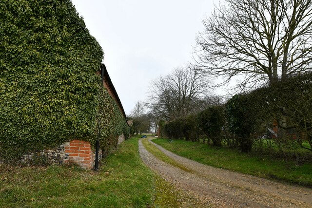
Dark Belt, Norfolk (Wood, Forest), located in the eastern region of England, is a charming and picturesque woodland area covering approximately 10 square miles. This woodland, also referred to as the "Dark Belt," is characterized by its dense canopy of trees, creating a serene and secluded atmosphere.
The forest consists predominantly of oak and beech trees, providing a rich and diverse ecosystem. The cool and damp conditions in this area foster the growth of various species of mosses, ferns, and fungi, adding to the enchanting allure of the woodland. It is also home to a wide range of wildlife, including deer, foxes, badgers, and a plethora of bird species.
Dark Belt offers numerous walking trails and footpaths, making it a popular destination for nature enthusiasts and hikers. The well-maintained paths wind through the forest, allowing visitors to immerse themselves in the natural beauty of the surroundings. The area is also known for its ancient trees, some of which have stood for hundreds of years, and provide a glimpse into the region's rich history.
The tranquility and seclusion of Dark Belt make it an ideal spot for those seeking a peaceful retreat from the hustle and bustle of everyday life. The woodland's rustic charm and untouched beauty attract visitors throughout the year, especially during the autumn months when the vibrant colors of the changing leaves create a breathtaking spectacle.
Overall, Dark Belt, Norfolk (Wood, Forest) offers a captivating and rejuvenating experience for nature lovers, providing a haven of peace and serenity amidst the bustling modern world.
If you have any feedback on the listing, please let us know in the comments section below.
Dark Belt Images
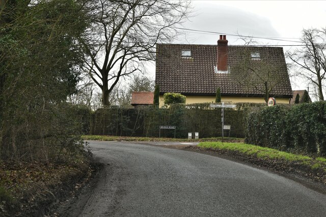
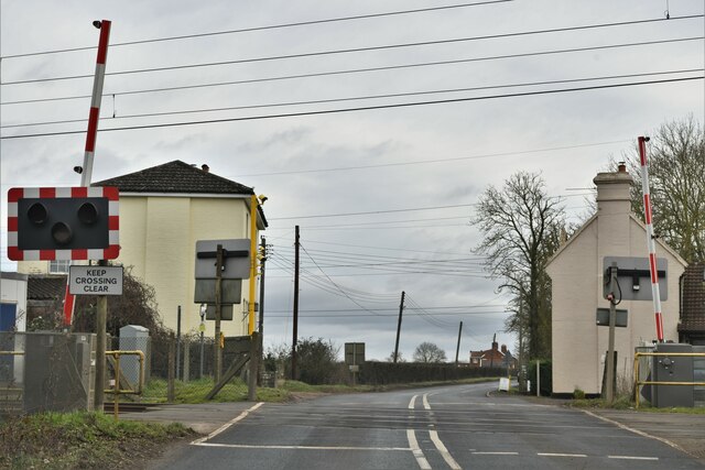
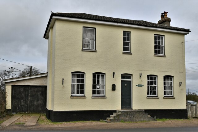
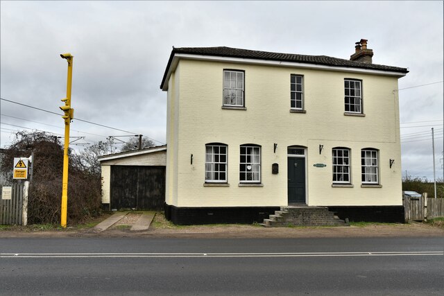
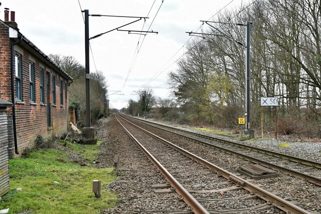
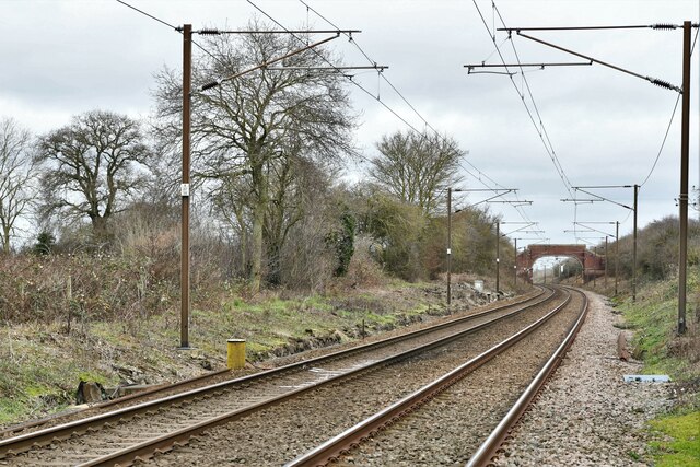
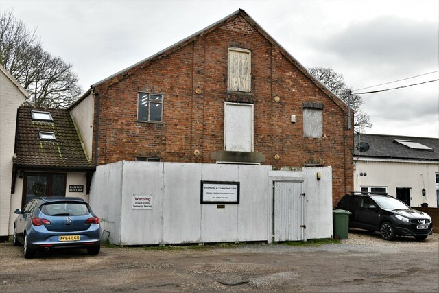
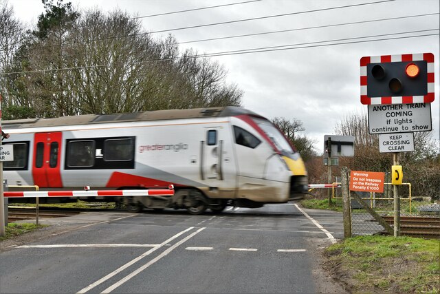
Images are sourced within 2km of 52.396663/1.1568147 or Grid Reference TM1482. Thanks to Geograph Open Source API. All images are credited.


Dark Belt is located at Grid Ref: TM1482 (Lat: 52.396663, Lng: 1.1568147)
Administrative County: Norfolk
District: South Norfolk
Police Authority: Norfolk
What 3 Words
///widen.cheeses.constrain. Near Dickleburgh, Norfolk
Nearby Locations
Related Wikis
Burston and Shimpling
Burston and Shimpling is a civil parish in the county of Norfolk, England. The parish covers an area of 9.17 km2 (3.54 sq mi) and had a population of 538...

Burston, Norfolk
Burston is a village and former civil parish, now in the parish of Burston and Shimpling, in the South Norfolk district, in the county of Norfolk, England...
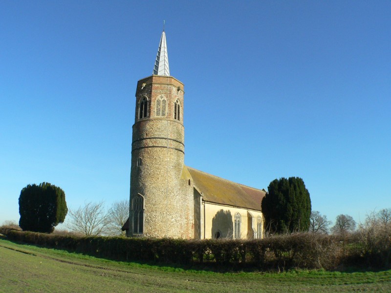
St George's Church, Shimpling
St George's Church is a redundant Anglican church in the village of Shimpling, Norfolk, England. It is recorded in the National Heritage List for England...
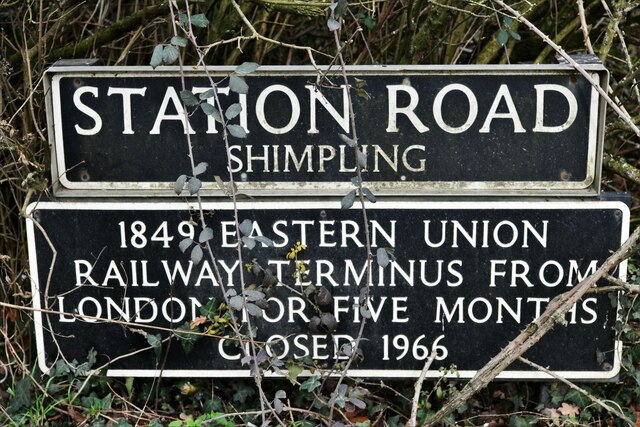
Shimpling, Norfolk
Shimpling is a village and former civil parish 16 miles (26 km) south of Norwich, now in the parish of Burston and Shimpling, in the South Norfolk district...

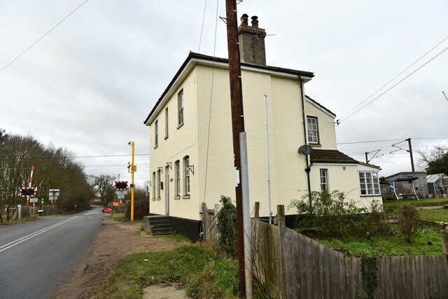
Burston railway station
Burston railway station was on the Diss to Norwich line and served the village of Burston, Norfolk. Only the station building remains; the signal box has...

Burston Strike School
The Burston Strike School was founded as a consequence of a school strike and became the centre of the longest running strike in British history, that...

Thelveton
Thelveton (historically Thelton, earlier Telvetun) is a village and former civil parish, now in the parish of Scole, in the South Norfolk district, in...

Dickleburgh
Dickleburgh is a village and former civil parish, now in the parish of Dickleburgh and Rushall, in the South Norfolk district of the English county of...
Nearby Amenities
Located within 500m of 52.396663,1.1568147Have you been to Dark Belt?
Leave your review of Dark Belt below (or comments, questions and feedback).