Rubha Ghlamraidh
Coastal Feature, Headland, Point in Argyllshire
Scotland
Rubha Ghlamraidh
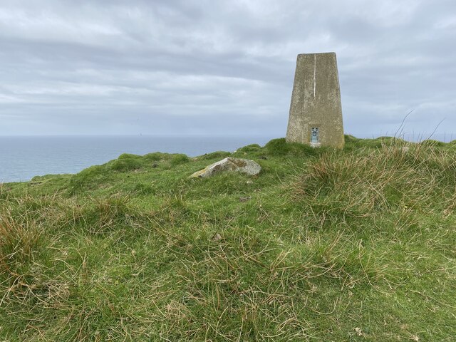
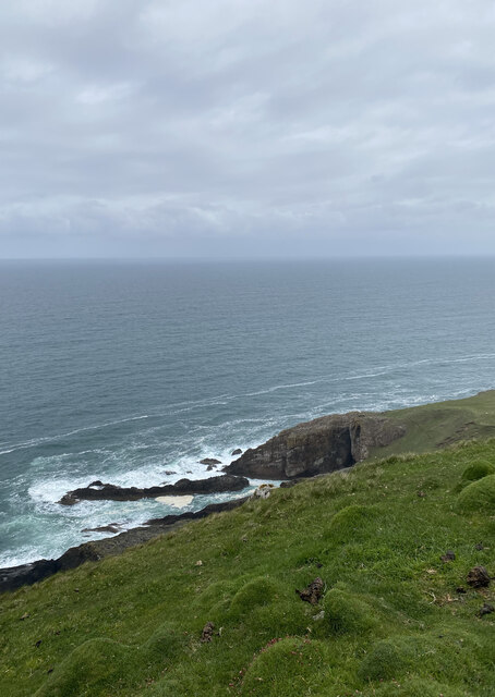
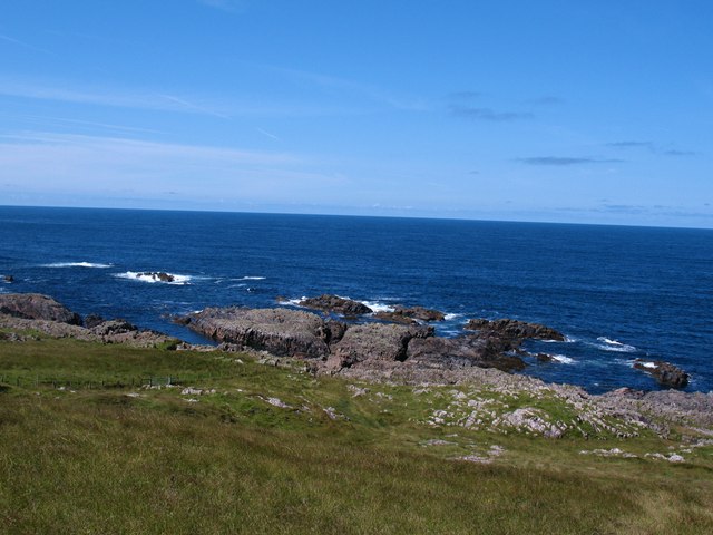
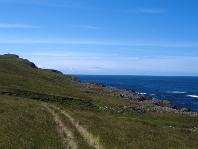
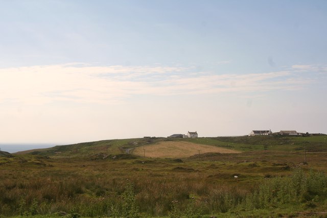
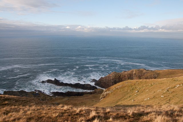
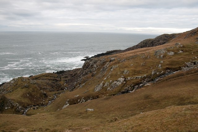
Rubha Ghlamraidh is a prominent headland located in Argyllshire, Scotland. Situated on the west coast of the country, this coastal feature offers breathtaking panoramic views of the surrounding landscape and the vast Atlantic Ocean.
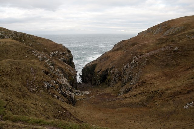
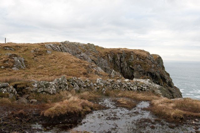
The headland is characterized by its rugged cliffs, which rise dramatically from the sea. These cliffs, composed of ancient rocks, display a variety of colors ranging from deep browns to vibrant reds, creating a striking visual contrast against the azure waters below. The exposed nature of the headland makes it a popular spot for birdwatching, with numerous seabirds including gannets, puffins, and fulmars nesting on the cliffs.
Rubha Ghlamraidh is also known for its historical significance. The headland features the ruins of an ancient fort, which is believed to have been constructed during the Iron Age. These remains provide a glimpse into the region's rich past and offer a unique opportunity for visitors to explore and learn about the area's history.
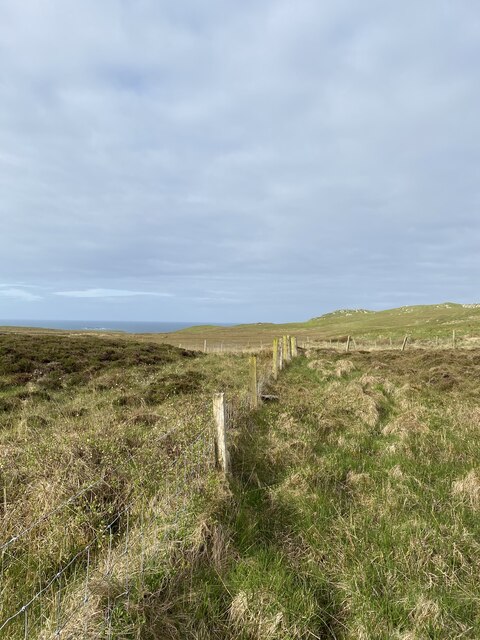
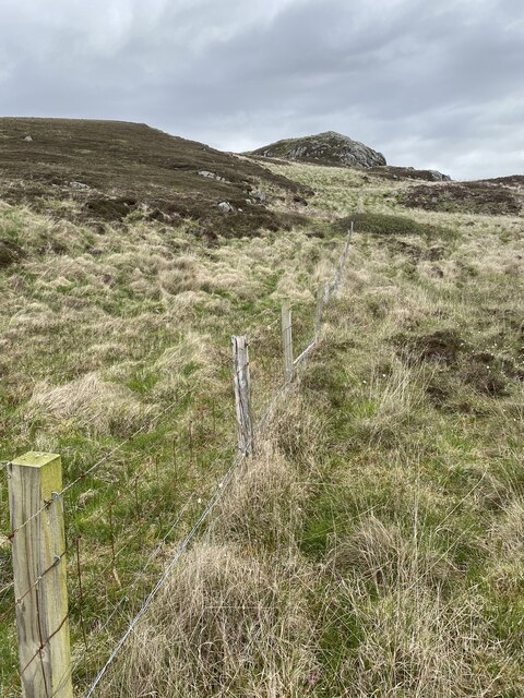
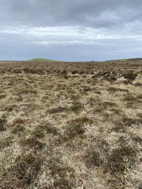
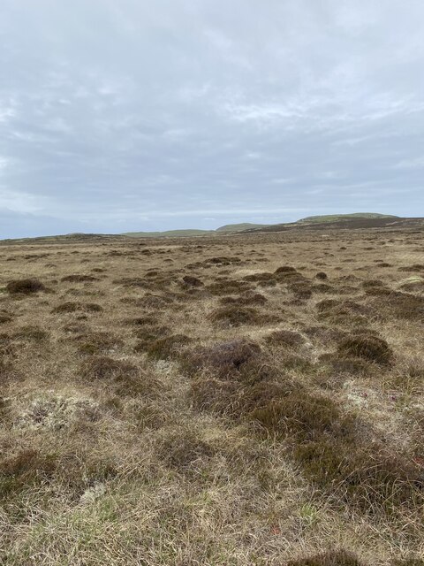
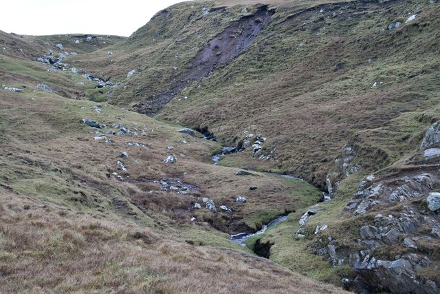
Access to Rubha Ghlamraidh is provided by a coastal path, which winds its way around the headland. This path offers walkers and hikers the chance to experience the stunning natural beauty of the area up close, as they navigate through heather-covered hills and along the cliff edges.
Overall, Rubha Ghlamraidh is a captivating coastal feature that showcases the rugged beauty of the Scottish west coast. Its stunning cliffs, historical ruins, and diverse wildlife make it a must-visit destination for nature enthusiasts and history buffs alike.
If you have any feedback on the listing, please let us know in the comments section below.
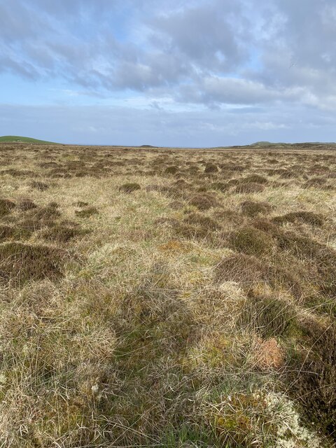
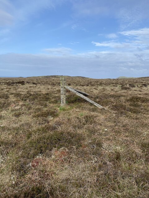
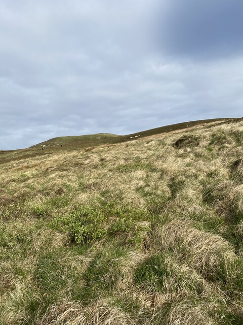
Rubha Ghlamraidh Images
Images are sourced within 2km of 55.735558/-6.497224 or Grid Reference NR1758. Thanks to Geograph Open Source API. All images are credited.
Rubha Ghlamraidh is located at Grid Ref: NR1758 (Lat: 55.735558, Lng: -6.497224)
Unitary Authority: Argyll and Bute
Police Authority: Argyll and West Dunbartonshire
What 3 Words
///skins.pave.guess. Near Portnahaven, Argyll & Bute
Nearby Locations
Related Wikis

Rinns of Islay
The Rinns of Islay (Scottish Gaelic: Na Roinn Ìleach; alternative English spelling Rhinns of Islay) is an area on the west of the island of Islay in the...

RAF Kilchiaran
RAF Kilchiaran was a Royal Air Force radar station situated on the Isle of Islay in Scotland. It was originally active from 1940-1945. In 1954 the base...

Islay LIMPET
Islay LIMPET was the world's first commercial wave power device and was connected to the United Kingdom's National Grid. == History == Islay LIMPET (Land...

Easter Ellister
Easter Ellister (Aolastradh) is a settlement on the Rinns of Islay on Islay in the Inner Hebrides of Scotland. It lies just off the A847 road between Portnahaven...
Have you been to Rubha Ghlamraidh?
Leave your review of Rubha Ghlamraidh below (or comments, questions and feedback).