Rubha Talanish
Coastal Feature, Headland, Point in Ross-shire
Scotland
Rubha Talanish

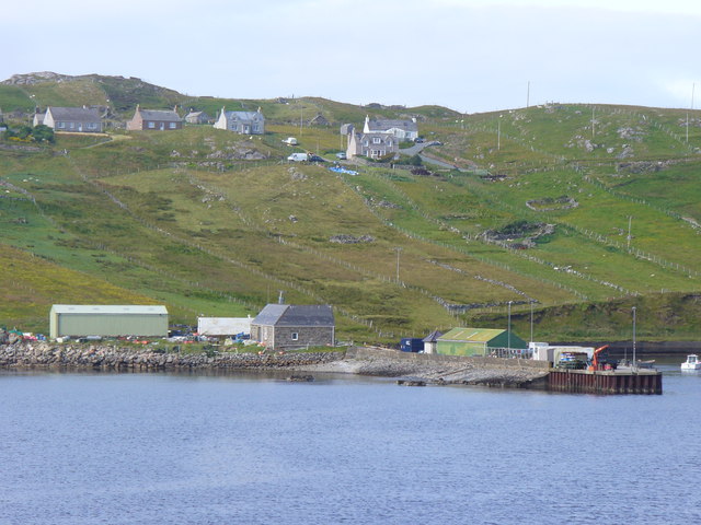
Rubha Talanish is a prominent headland located in Ross-shire, Scotland. Situated on the northwestern coast of the country, this coastal feature juts out into the North Atlantic Ocean, offering stunning views and a unique natural environment.
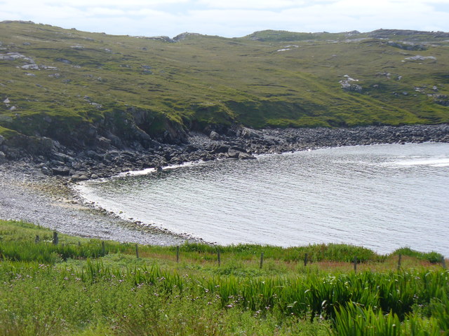
The headland is characterized by its rugged cliffs, which rise dramatically from the sea, creating a sense of grandeur and awe. These cliffs are composed of sedimentary rock formations, showcasing layers of various geological eras and providing valuable insights into the Earth's history. The shoreline around Rubha Talanish is also notable for its rocky outcrops and small pebble beaches, adding to the diversity of the landscape.
The headland is home to a rich and diverse ecosystem, with a variety of plant and animal species thriving in this coastal environment. Seabirds, such as gannets, puffins, and guillemots, can be spotted nesting on the cliffs, while seals and dolphins can often be seen swimming in the surrounding waters. The area also supports a range of plant life, including heather, gorse, and sea thrift, enhancing the natural beauty of the headland.
Rubha Talanish is a popular destination for outdoor enthusiasts and nature lovers. Hiking trails traverse the headland, offering opportunities to explore the stunning scenery and observe the local wildlife up close. The headland's strategic position also makes it an ideal spot for birdwatching, with many species using it as a resting point during their migratory journeys.
Overall, Rubha Talanish is a captivating coastal feature that combines breathtaking landscapes, diverse wildlife, and a rich geological history. Its unique blend of natural elements makes it a must-visit destination for those seeking to immerse themselves in Scotland's wild beauty.
If you have any feedback on the listing, please let us know in the comments section below.
Rubha Talanish Images
Images are sourced within 2km of 58.289927/-6.814986 or Grid Reference NB1743. Thanks to Geograph Open Source API. All images are credited.


Rubha Talanish is located at Grid Ref: NB1743 (Lat: 58.289927, Lng: -6.814986)
Unitary Authority: Na h-Eileanan an Iar
Police Authority: Highlands and Islands
What 3 Words
///balancing.backpack.fondest. Near Carloway, Na h-Eileanan Siar
Nearby Locations
Related Wikis

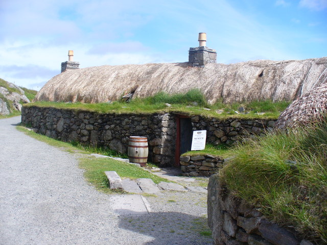
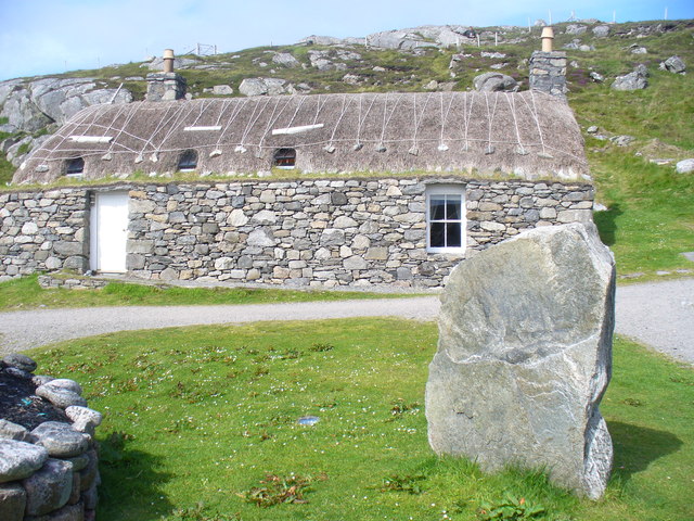
Garenin
Garenin (Scottish Gaelic: Na Gearrannan) is a crofting township on the west coast of the Isle of Lewis in the Outer Hebrides of Scotland. Garenin is in...

Borrowston, Lewis
Borrowston (Scottish Gaelic: Borghastan), with a population of about 50, is a crofting township situated on the Isle of Lewis, on the Outer Hebrides of...

Dun Carloway
Dun Carloway (Scottish Gaelic: Dùn Chàrlabhaigh) is a broch situated in the district of Carloway, on the west coast of the Isle of Lewis, Scotland (grid...

Carloway
Carloway (Scottish Gaelic: Càrlabhagh [ˈkʰaːɾɫ̪ə.ɤː]) is a crofting township and a district on the west coast of the Isle of Lewis, in the Outer Hebrides...

Campaigh
Campaigh or Campay is a steep and rocky islet in outer Loch Ròg, Lewis, Scotland that lies north of Cealasaigh and Little Bernera. A huge natural arch...

Cealasaigh
Cealasaigh or Kealasay is an islet in outer Loch Ròg, Lewis, Scotland that lies north of Traigh Mhór on Little Bernera and south of Campaigh. To the west...

Little Bernera
Little Bernera (Scottish Gaelic: Beàrnaraigh Beag) is a small island situated off the west coast of the Isle of Lewis in the Outer Hebrides.Little Bernera...
Siadar Wave Power Station
The Siadar Wave Power Station (also known as Siadar Wave Energy Project or SWEP) was a proposed 4 MW wave farm 400 metres (1,300 ft) off the shore of Siadar...
Have you been to Rubha Talanish?
Leave your review of Rubha Talanish below (or comments, questions and feedback).